The best walks and hikes around Belmonte De Gracián
4.6
(29)
228
hikers
39
hikes
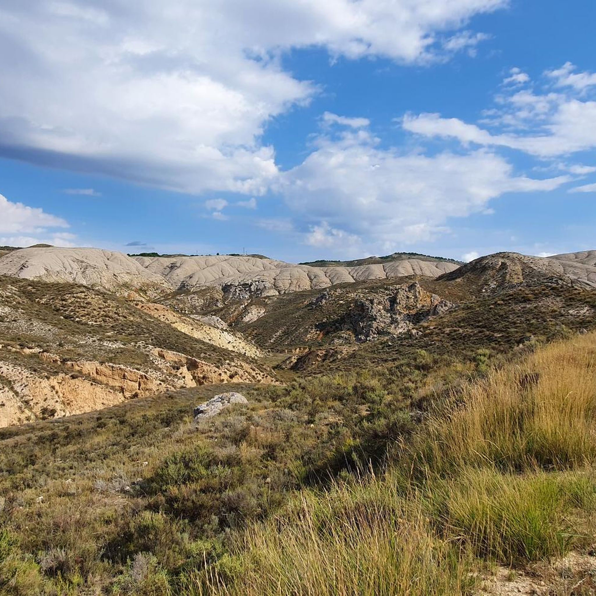
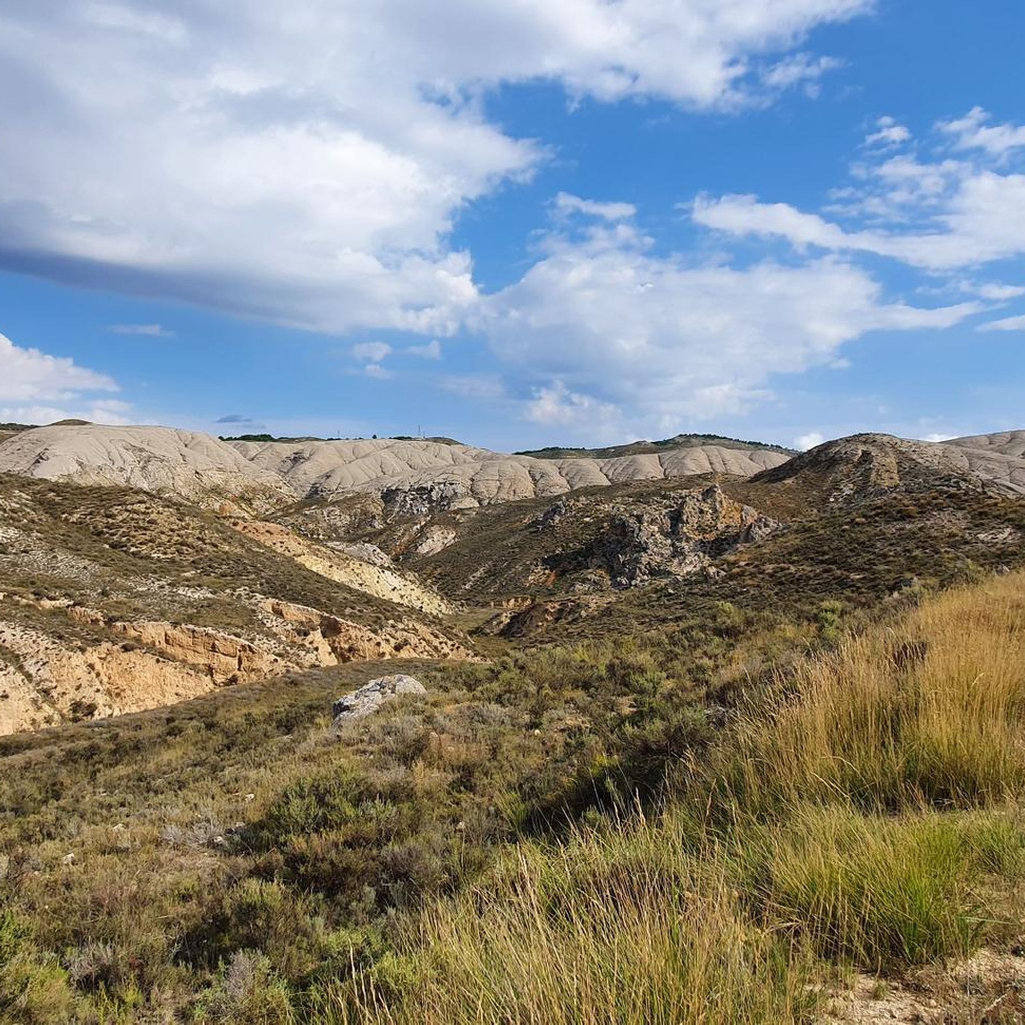
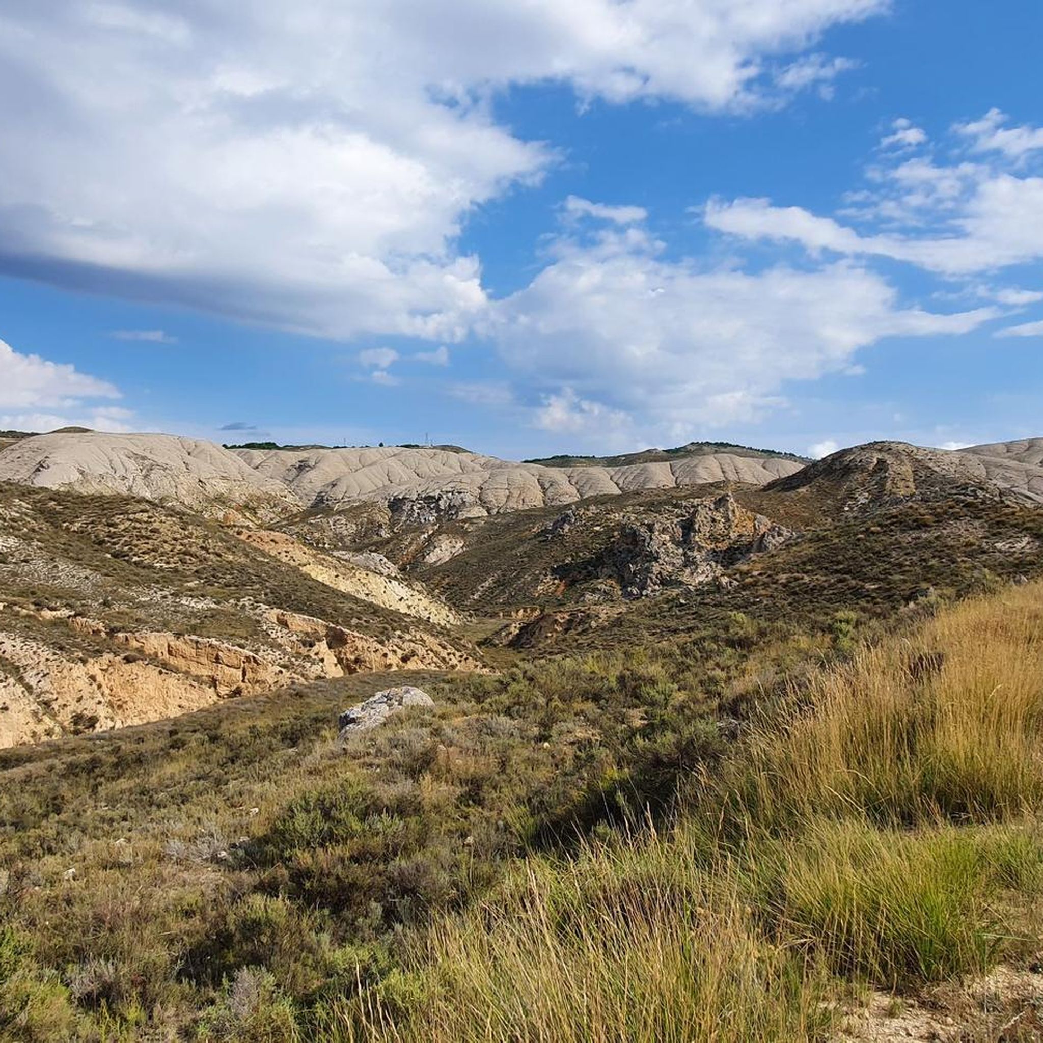
Hiking around Belmonte De Gracián offers routes through a landscape characterized by the Perejiles River valley, surrounding vineyards, and distinctive white gypsum hills. The village serves as a base for exploring the Sierra de Algairén, which includes the Collado de la Luz mountain pass. Further opportunities extend to the Sierra Vicor, home to Pico del Rayo, the highest peak in the range. This region provides varied terrain for outdoor activities.
Best hiking trails around Belmonte De Gracián
- The most popular…
Last updated: July 15, 2026
5.0
(3)
24
hikers
10.3km
03:52
700m
700m
Moderate hike. Good fitness required. Easily-accessible paths. Suitable for all skill levels.
5
hikers
19.9km
06:20
830m
830m
Hard hike. Very good fitness required. Easily-accessible paths. Suitable for all skill levels.

Sign up for free
5
hikers
12.0km
03:16
180m
180m
Moderate hike. Good fitness required. Easily-accessible paths. Suitable for all skill levels.
4
hikers
17.4km
05:20
630m
630m
Hard hike. Very good fitness required. Easily-accessible paths. Suitable for all skill levels.
5.0
(1)
8
hikers
2.98km
00:51
70m
70m
Easy hike. Great for any fitness level. Easily-accessible paths. Suitable for all skill levels.
Get access to more routes and recommendations from other explorers.
Sign up for free
Already have an account?
Our route recommendations are based on thousands of hikes, rides, and runs completed by other people on komoot.
Start today with a free account
Your next adventure awaits.
Login or Signup


Tips from the Community

There is also a fountain, but we found it without water. We had to continue down to the village.
0
0
Be careful with the fountain, when we passed by there wasn't even a drop coming out. So it's better not to depend on this point to refill water, as happened to us.
0
1

It is the highest point for many kilometers in the surrounding area (next to Pico de la Nevera, which cannot be accessed because it is a military installation). In summer there are fire surveillance personnel because it is a place with impressive views.
0
0

Or refuge of Inogés, it is a free refuge in quite good conditions. We must take them into account in case we had to take shelter there from a good storm
1
0
The El Frasno refuge is ideal for stopping and recovering energy since we will find a picnic area and a public fountain.
0
1
We are at the Pico del Rayo, the highest peak of the Sierra de Victor at 1427 masl with magnificent views of the Iberian System and Moncayo.
0
0
At this point in the Sierra de Víctor we find the curious image of the statue of San Vicente, placed by the hunters, which is located on top of a rock. Very close, we will pass by the side of some ancient ruins of what was a cabin.
2
0
At this point we find an ice well that receives the name of the Erilla Alta refrigerator, built in the middle of the Iberian Cordillera, in the municipality of Frasno. The snow that fell in winter was stored to take advantage of it during the summer months, for example, by selling ice. We will find an informative panel that will give us more very interesting information.
2
0
Frequently Asked Questions
How many hiking trails are available around Belmonte de Gracián?
There are over 25 hiking routes documented around Belmonte de Gracián. These include 5 easy, 16 moderate, and 5 difficult trails, offering a wide range of options for different skill levels.
What kind of terrain can I expect on hikes near Belmonte de Gracián?
The hiking terrain around Belmonte de Gracián is quite varied. You'll find trails winding through the picturesque Perejiles River valley, past local vineyards, and across distinctive 'white gypsum' hills that create a unique, almost dreamlike landscape. Further afield, routes ascend into the Sierra de Algairén and the more challenging Sierra Vicor, offering mountainous terrain and panoramic views.
Are there any family-friendly hiking options in the area?
While specific family-friendly routes are not detailed, the region offers a range of difficulties, including 5 easy trails. These easier paths, often found in the river valleys and local countryside, are generally suitable for families looking for less strenuous walks. Consider routes that explore the immediate surroundings of the village for a gentler experience.
Can I bring my dog on the hiking trails around Belmonte de Gracián?
Many trails in natural areas across Aragon are generally dog-friendly, provided dogs are kept under control, especially in areas with livestock or wildlife. It's always advisable to check local regulations for specific trails or protected areas. Ensure your dog is well-behaved and that you carry waste bags.
What natural features or landmarks can I see while hiking?
Hiking around Belmonte de Gracián offers views of several notable natural features and landmarks. You can explore the unique white gypsum hills, the Perejiles River valley, and the vineyards. Higher up, you'll encounter mountain passes like Collado de la Luz and summits such as Pico del Rayo, which is the highest peak of the Sierra Vicor. The Ridge of the Sierra de Algairén also provides excellent hiking opportunities with expansive views.
Are there any historical sites or attractions along the hiking routes?
Yes, the region is rich in history. You can integrate visits to the 15th-century Belmonte de Gracián Castle, the Gothic Church of St. Michael with its Mudéjar bell tower, and the Church of Nuestra Señora del Castillo into your walks. The archaeological remains of Segeda-Sekeiza, a Celtiberian and Romano-Celtiberian site, are also located nearby between Belmonte de Gracián and Mara, offering a cultural dimension to your outdoor activities.
Are there any circular hiking routes available?
Yes, there are several circular routes. For instance, the challenging Pico del Rayo - Sierra de Vicor Loop offers extensive views across the Sierra de Vicor. Another option is the Refugio de Inogés – Pico del Rayo loop from Aula de la Naturaleza, which is also a difficult, longer circular trail.
What is the best time of year to go hiking in Belmonte de Gracián?
The Aragon region, including Belmonte de Gracián, generally offers good hiking conditions during spring and autumn when temperatures are milder. Summer can be very hot, especially in the lower valleys, making early morning or late afternoon hikes preferable. Winter hiking is possible, particularly on lower elevation trails, but higher mountain areas may experience colder temperatures and occasional snow.
What do other hikers say about the trails in Belmonte de Gracián?
The hiking trails around Belmonte de Gracián are highly regarded by the komoot community, with an average rating of 4.6 out of 5 stars from over 10 reviews. Hikers often praise the varied terrain, from the unique gypsum hills to the challenging mountain ascents, and the opportunities to explore both natural beauty and historical sites.
Are there any challenging hikes for experienced trekkers?
Absolutely. For experienced trekkers, the region offers several difficult routes. The Pico del Rayo - Sierra de Vicor Loop is a demanding 19.9 km path with significant elevation gain. Another challenging option is the Refugio de Inogés – Pico del Rayo loop from Aula de la Naturaleza, covering 17.4 km with substantial ascents.
Where can I find parking or public transport options for trailheads?
While specific parking details for every trailhead are not provided, Belmonte de Gracián is a small village, and parking is generally available within or on the outskirts. For routes starting further afield, such as those near Calatayud, you would typically find parking in or near those towns. Public transport options in rural Aragon can be limited, so planning your journey by car is often the most flexible way to access trailheads.
Are there any easy routes for beginners or a quick stroll?
Yes, there are 5 easy routes available. While not explicitly detailed, these typically involve less elevation gain and shorter distances, making them ideal for beginners or those looking for a relaxed walk. The local countryside and river valley areas often provide gentler paths suitable for a quick stroll.
Most popular routes around Belmonte De Gracián
Most popular attractions around Belmonte De Gracián

Get inspired with the komoot mobile app


Explore more
Browse the best Hikes in other regions.
