The best walks and hikes around Rafelcofer
4.4
(918)
5,725
hikers
185
hikes
Hiking around Rafelcofer offers a network of trails characterized by varied elevations, including several summit paths and routes leading to historical sites. The terrain often features hills and rocky sections, providing diverse landscapes for outdoor exploration. The region's trails cater to different fitness levels, from shorter, less strenuous paths to more challenging ascents.
Best hiking trails around Rafelcofer
- The most popular hiking route is Assagadors and Covatelles Summit Trail, a 3.9 miles (6.2 km) trail that takes 2 hours 7 minutes to complete. This moderate route includes significant elevation gain towards the summit.
- Another top favourite among local hikers is Castell de Rebollet Trail (SL-CV 60), a difficult 2.1 miles (3.4 km) path. This trail leads to the historic Castell de Rebollet, offering insights into the region's past.
- Local hikers also love the Covatelles Summit – Views from the trail loop from la Font d'en Carròs, an 8.5 miles (13.7 km) trail leading through elevated terrain with panoramic views, often completed in about 4 hours 25 minutes.
- Hiking around Rafelcofer is defined by summit trails, historical sites, and varied elevation changes. The network offers options for easy, moderate, and difficult routes, accommodating different ability levels.
- The routes in Rafelcofer are highly rated by the komoot community with an average score of 4.4 stars from over 800 reviews. More than 5,500 hikers have used komoot to explore Rafelcofer's varied terrain.
Last updated: July 8, 2026
4.7
(37)
98
hikers
6.22km
02:08
280m
270m
Hike the moderate 3.9-mile Ruta dels Assagadors i Cim de Covatelles (PR-CV 347) for panoramic views and historic paths.
3.9
(9)
16
hikers
3.38km
01:09
100m
100m
Hike the difficult 2.1-mile Castell de Rebollet Trail (SL-CV 60) to explore historic castle ruins and enjoy panoramic views.

Sign up for free
17
hikers
Moderate hike. Good fitness required. Mostly accessible paths. Sure-footedness required.
5.0
(1)
11
hikers
5.67km
01:52
240m
240m
Moderate hike. Great for any fitness level. Mostly accessible paths. Sure-footedness required.
4.8
(4)
16
hikers
8.11km
02:45
310m
310m
Moderate hike. Good fitness required. Mostly accessible paths. Sure-footedness required.
Get access to more routes and recommendations from other explorers.
Sign up for free
Already have an account?
Our route recommendations are based on thousands of hikes, rides, and runs completed by other people on komoot.
Start today with a free account
Your next adventure awaits.
Login or Signup
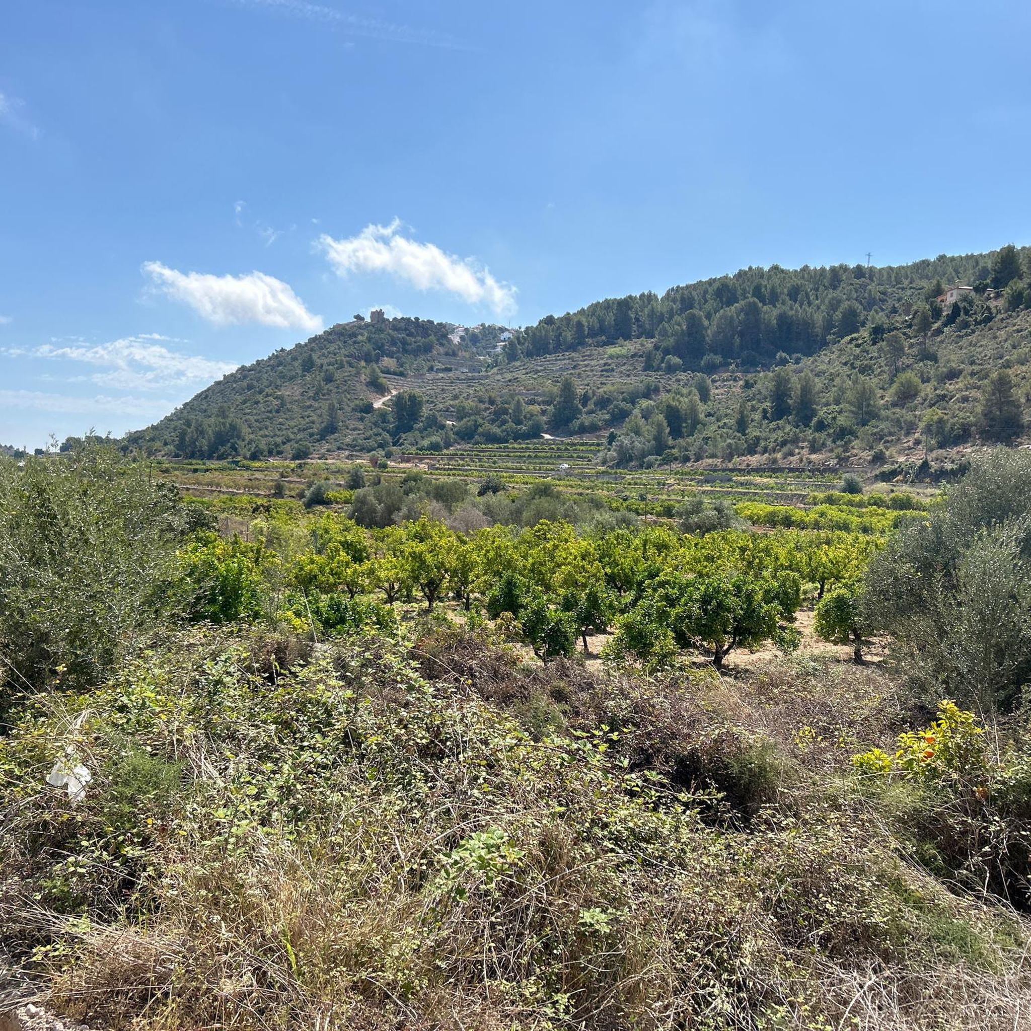
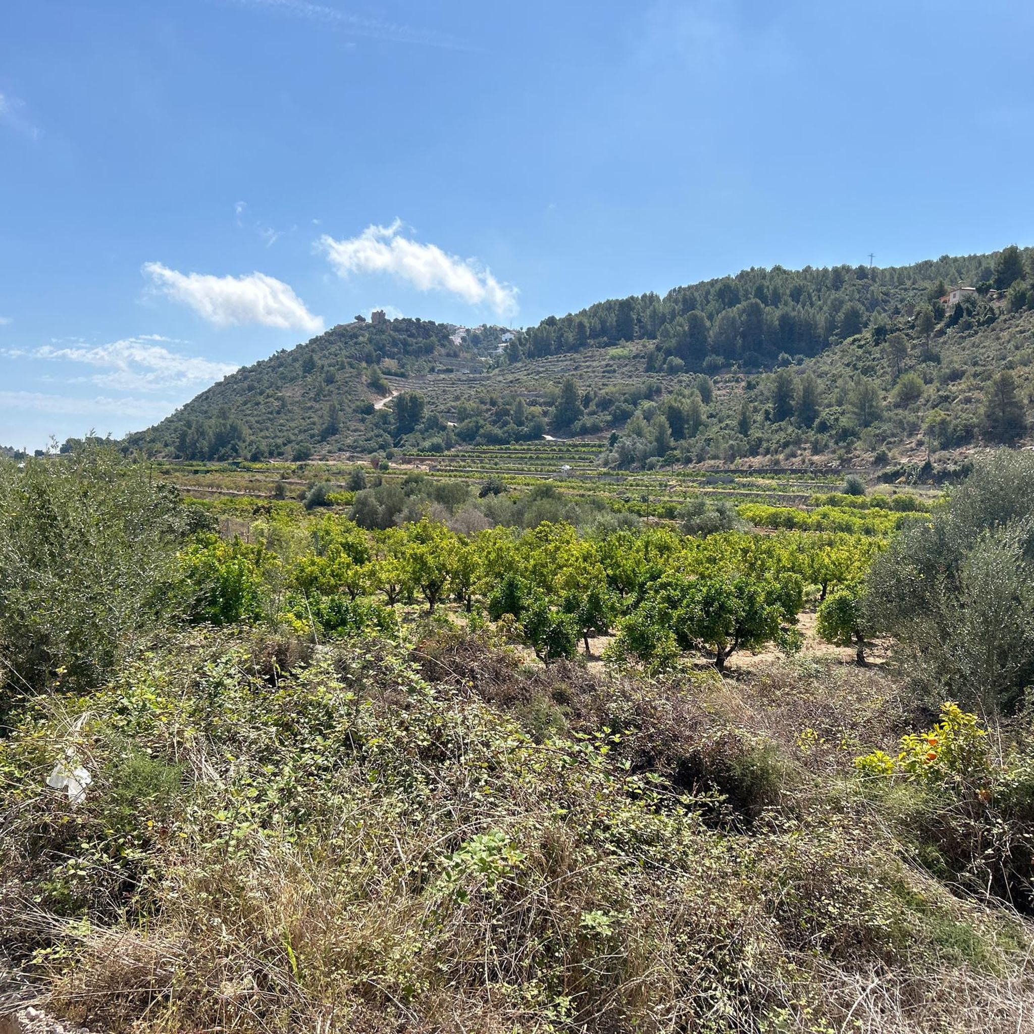
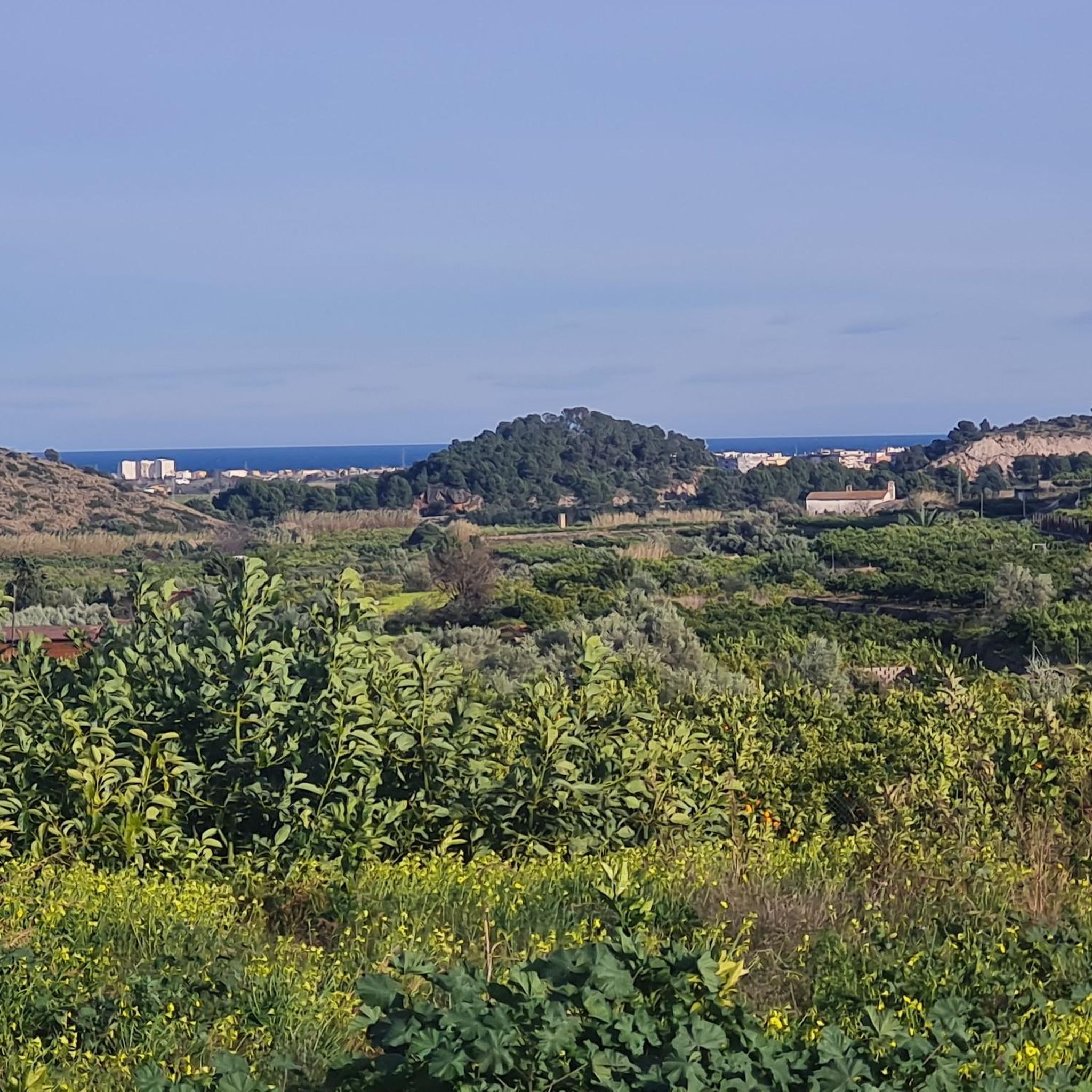
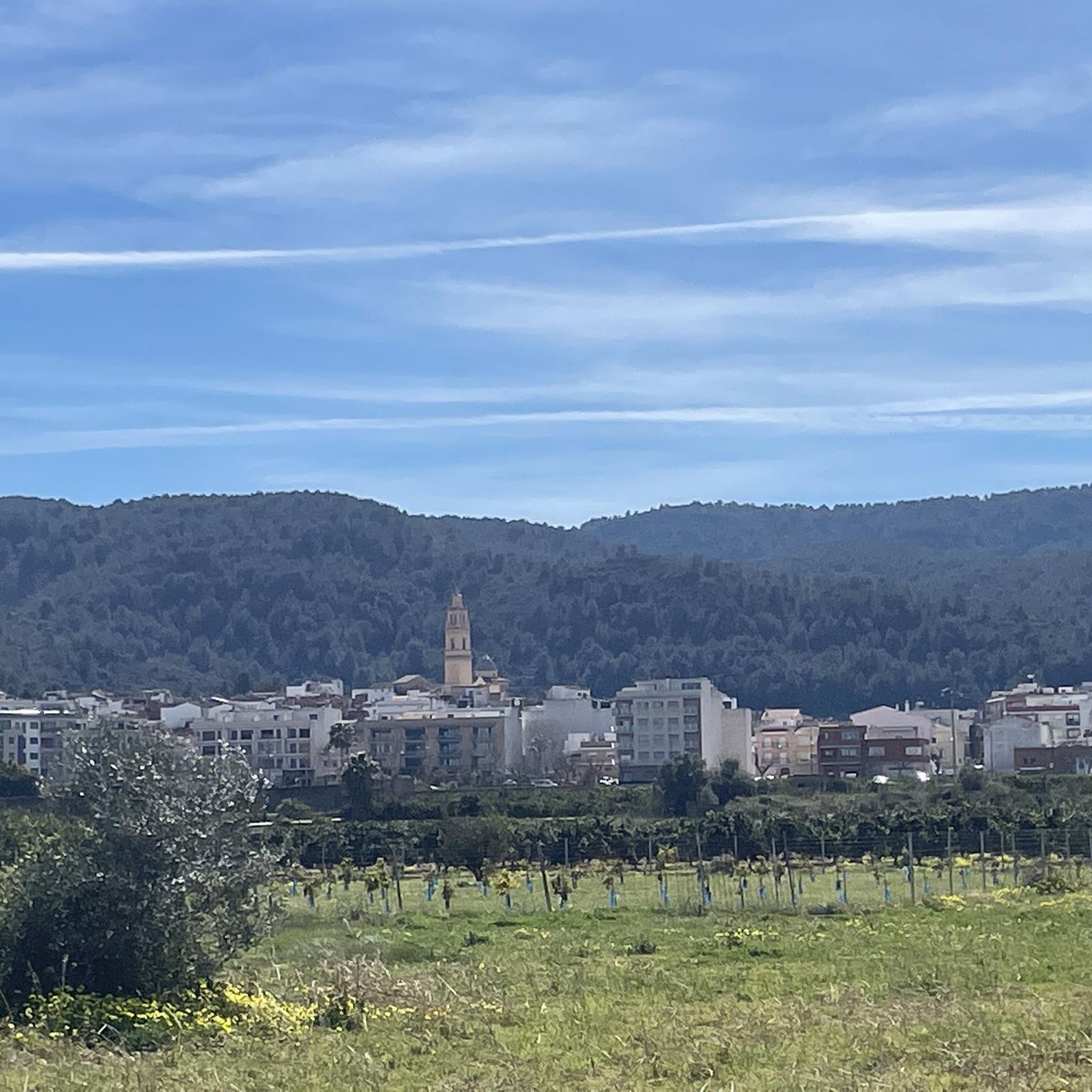

Tips from the Community

The start of the hike is a bit frightening due to the location (rainwater drainage basins and dog excrement), but after 500 m you go into nature. The hike is well signposted and easy to do with sturdy shoes.
2
1

The Sima Blanca is a tectonic cave. Entry only with specialized equipment. But if you are walking along the SL-CV 60 path, you will fall in love with the surrounding views.
1
0
Although only ruins remain of the Rebollet castle, I am sure you will like it if you are a castle fan. Furthermore, from the hill where this castle is located you have privileged views of the Serpis valley. The climb to the castle is easy to access.
2
0
Here you will find the signs for the detour that you can take if you want to go up Cati. In this case you have to go east.
1
0
The PR-CV 347 trail is a route with great scenic value. Enjoy the experience on this perfectly marked trail.
0
0
This part of the trail on route PR-CV 347 is full of large rocks, so be very careful, especially after rain or during periods of high humidity. Enjoy the lush vegetation and shade.
1
0

The PR-CV 347 trail, known as Ruta dels Assagadors and Cim de Covatelles, is a beautiful trail located in the Font d'en Carròs.
12
0
Frequently Asked Questions
How many hiking trails are available around Rafelcofer?
There are over 180 hiking trails around Rafelcofer, offering a wide range of options for different skill levels. This includes 82 easy routes, 98 moderate routes, and 9 more challenging trails.
Are there any easy hiking trails suitable for beginners in Rafelcofer?
Yes, Rafelcofer offers a good selection of easy trails. You can find 82 routes classified as easy, perfect for those new to hiking or looking for a less strenuous walk. These trails often feature gentler inclines and shorter distances.
Can I find longer hiking routes for a full day out in Rafelcofer?
For a longer hiking experience, consider the Covatelles Summit – Views from the trail loop from la Font d'en Carròs. This moderate trail is 8.5 miles (13.7 km) long and typically takes around 4 hours 25 minutes to complete, offering extensive panoramic views.
Are there any circular hiking routes in Rafelcofer?
Many trails in Rafelcofer are designed as loops. For example, the Trail to El Cati (296 m) – Covatelles Summit loop from la Font d'en Carròs is a moderate 5.9 km loop that offers varied terrain and takes about 2 hours to complete.
What kind of views can I expect on the hiking trails around Rafelcofer?
The trails around Rafelcofer often lead to elevated points offering panoramic views. Routes like the Covatelles Summit – Views from the trail loop from la Font d'en Carròs are specifically known for their extensive vistas across the landscape.
Are there any historical sites accessible via hiking trails in Rafelcofer?
Yes, you can explore historical sites while hiking. The Castell de Rebollet Trail (SL-CV 60) is a challenging 2.1-mile (3.4 km) path that leads directly to the historic Castell de Rebollet, offering insights into the region's past. Other nearby castles include Bairén Castle and Castillo de Santa Anna.
What do other hikers say about the trails in Rafelcofer?
The hiking routes in Rafelcofer are highly regarded by the komoot community, holding an average rating of 4.4 stars from over 800 reviews. Hikers often praise the varied terrain, the rewarding summit views, and the well-maintained paths that cater to different fitness levels.
Are there any natural attractions or points of interest near the hiking routes?
Beyond the trails, Rafelcofer is close to several natural attractions. You can visit The Salty Spring or the Natural area of the "Font Salà", both offering unique natural experiences. The Greenway of Safor also provides a pleasant path for walking or cycling.
What is the terrain like on the hiking trails in Rafelcofer?
The terrain around Rafelcofer is characterized by varied elevations, including hills and rocky sections. Many routes feature summit paths, providing diverse landscapes for exploration. You'll find a mix of ascents and descents, offering a good workout and changing scenery.
Are there any less crowded hiking options for a more peaceful experience?
While popular routes like the Assagadors and Covatelles Summit Trail are well-frequented, exploring some of the 82 easy or less-known moderate routes can offer a more tranquil experience. Checking komoot for routes with fewer completed tours might also lead you to quieter paths.
Is it possible to find trails that are suitable for families with children?
Yes, with 82 easy routes available, many trails around Rafelcofer are suitable for families. These typically feature shorter distances and less challenging terrain, making them enjoyable for children. Look for routes with minimal elevation gain for the most family-friendly options.
What is the best time of year to go hiking in Rafelcofer?
The Mediterranean climate of Rafelcofer generally makes spring and autumn ideal for hiking, with milder temperatures and pleasant conditions. Winter can also be suitable, especially for those who prefer cooler weather, while summer might be very hot, making early morning or late afternoon hikes preferable.
Most popular routes around Rafelcofer
Most popular attractions around Rafelcofer

Get inspired with the komoot mobile app


Explore more
Browse the best Hikes in other regions.
