The best road cycling routes around Pampaneira
4.9
(27)
1,901
riders
28
rides
Road cycling around Pampaneira, situated at 1,058 meters above sea level in Spain's Alpujarra region, offers challenging routes through mountainous landscapes. The area is characterized by rugged terrain, deep ravines like the Barranco de Poqueira, and winding roads with significant elevation changes. This setting provides varied cycling experiences, from climbs through traditional white villages to routes offering panoramic views of the Sierra Nevada peaks. The region's geography makes it suitable for road cyclists seeking demanding ascents and descents.
Best road…
Last updated: October 22, 2026
197
riders
121km
07:03
2,950m
2,950m
Hard road ride. Very good fitness required. Some segments of this route may be unpaved and difficult to ride.
5.0
(2)
119
riders
71.0km
04:09
1,750m
1,760m
Hard road ride. Very good fitness required. Mostly well-paved surfaces and easy to ride.

106
riders
80.7km
04:37
1,870m
1,870m
Hard road ride. Very good fitness required. Mostly well-paved surfaces and easy to ride.
5.0
(4)
49
riders
51.9km
02:49
1,060m
1,060m
Hard road ride. Very good fitness required. Mostly well-paved surfaces and easy to ride.
47
riders
98.7km
05:32
2,140m
2,140m
Hard road ride. Very good fitness required. Mostly well-paved surfaces and easy to ride.
Get access to more routes and recommendations from other explorers.
Already have an account?
Our route recommendations are based on thousands of hikes, rides, and runs completed by other people on komoot.
Start today with a free account
Your next adventure awaits.

Other adventures around Pampaneira

Tips from the Community

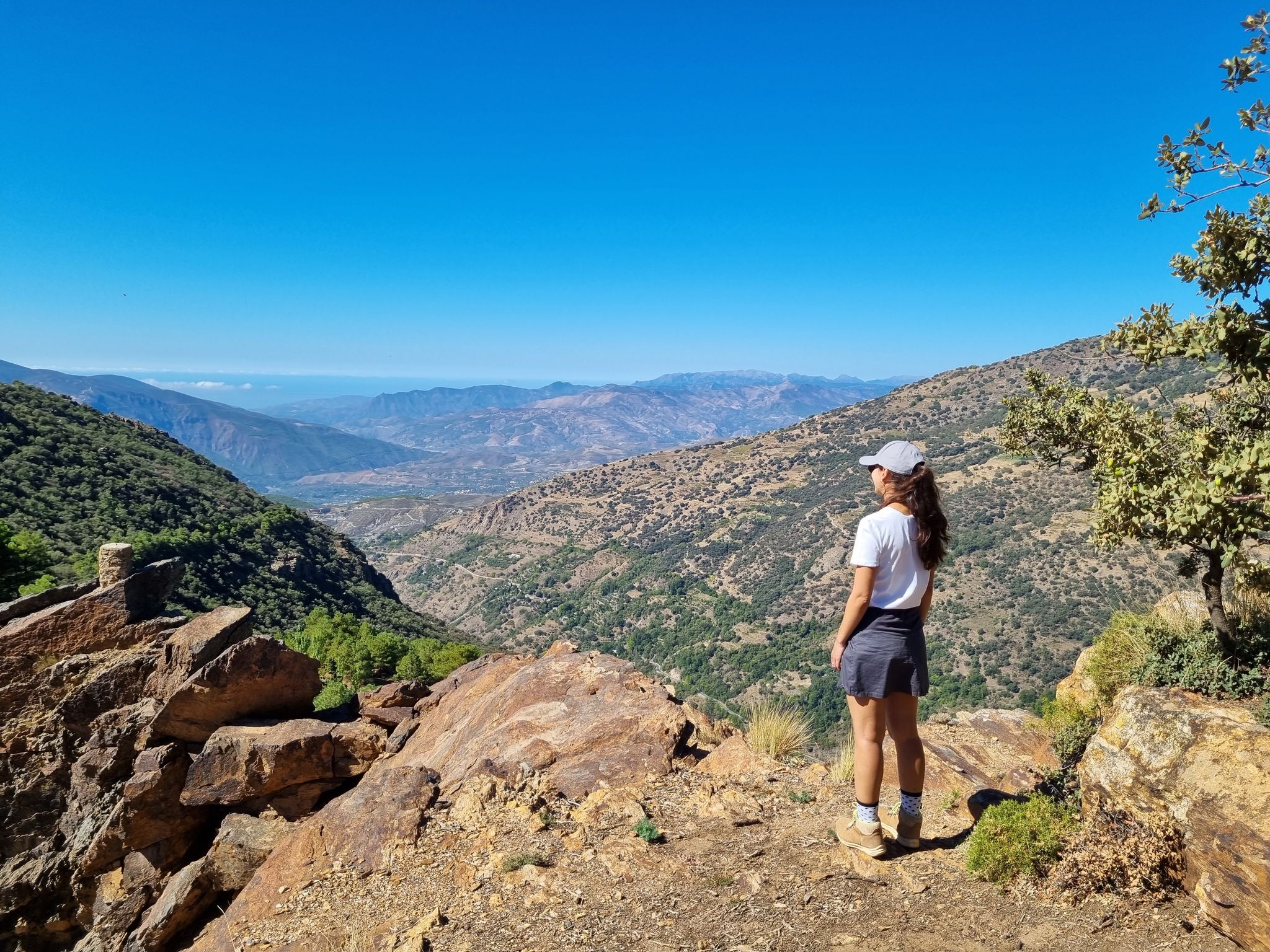
The road that connects Carataunas with Pampaneira, in the Alpujarra Granadina, crosses one of the most representative landscapes of the southern slopes of Sierra Nevada. From numerous points along the route, you can enjoy panoramic views of deep ravines, traditional farming terraces, and white villages staggered on the mountain. Take the opportunity to visit Pampaneira, it is worth it.
9
0
The waters of the Presa de Rules reservoir meander through the mountains of Granada's Costa Tropical, forming an impressive landscape where the blue of the reservoir contrasts with the steep slopes and Mediterranean vegetation. A magnificent natural viewpoint between the Alpujarra and the sea.
8
0

Órgiva is a charming Spanish municipality located in the province of Granada, in Andalusia, and is historically considered the capital and administrative center of the western Alpujarra. This town of about 6,000 inhabitants stands at an altitude of 450 meters in the fertile valley of the Guadalfeo River, right at the foot of the Sierra Nevada Natural Park.
0
1
The municipality of Órgiva is part of the Sierra Nevada Natural Park and is located on its southern slopes. Known as the capital of the Alpujarra region of Granada, it is an ideal destination for combining culture, nature, and gastronomy.
11
0

The Rules Reservoir Dam is an impressive hydraulic structure located in the Alpujarras of Granada, which retains the waters of the Guadalfeo River. Surrounded by a mountain landscape, it offers spectacular views where the water merges with the natural surroundings.
1
0
The Talará fountain is located next to the church. It has water and is perfect for refilling your water bottles.
1
0
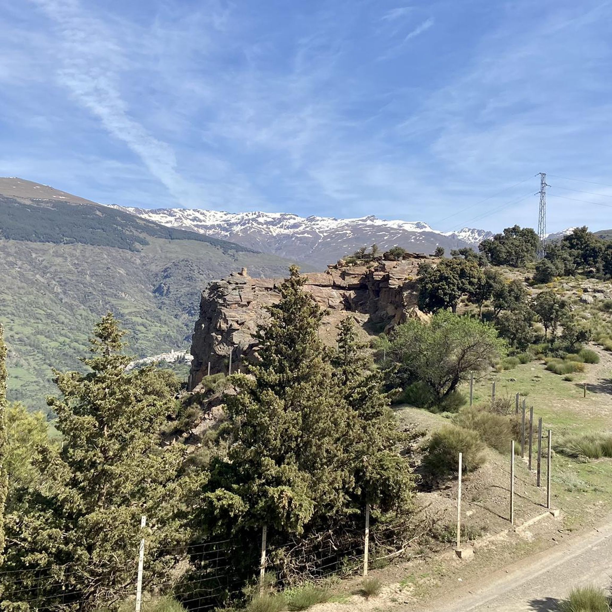
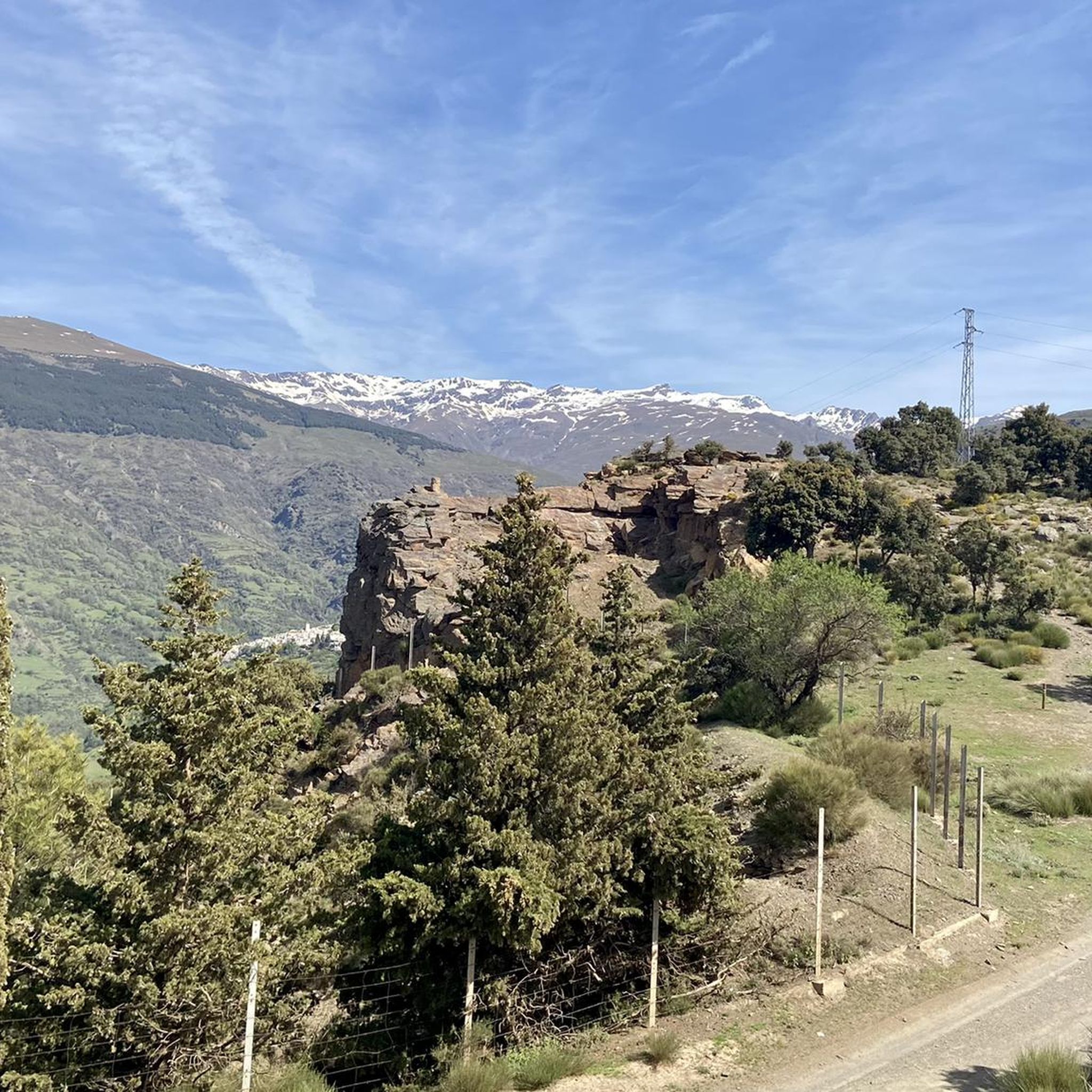
The view of the Sierra Nevada Mountains is breathtaking, with their soaring peaks dominating the horizon. On clear days, the contrast between their slopes and the sky creates a majestic and powerful landscape.
1
0

a beautiful are to ride a bike
0
0
Frequently Asked Questions
How many road cycling routes are available around Pampaneira?
There are over 25 road cycling routes around Pampaneira documented on komoot, offering a variety of experiences. The region is known for its challenging mountainous terrain, with most routes featuring significant elevation changes.
Are there road cycling routes suitable for experienced riders seeking a challenge?
Yes, Pampaneira is ideal for experienced riders. The majority of routes are classified as difficult, with 20 out of 29 routes falling into this category. For example, the Yegen to Válor Scenic Route – Road to Trevélez (East Side) loop from La Taha is a challenging 61.3-mile (98.7 km) ride with over 2,100 meters of elevation gain, leading through high mountain passes.
Are there any easier road cycling routes for beginners in Pampaneira?
While Pampaneira is primarily known for its challenging terrain, there are some moderate options available. For instance, the Climb to Cáñar – Órgiva loop from Carataunas is a moderate 24.7-mile (39.8 km) route with less elevation gain compared to the more difficult rides, making it a good choice for those looking for a less strenuous experience in the region.
What natural landmarks can I see while road cycling near Pampaneira?
Road cycling routes around Pampaneira offer stunning views of the Sierra Nevada. You can encounter impressive natural monuments such as the Mulhacén Summit and the Pico Veleta viewpoint, which provide breathtaking panoramic vistas. The region's deep ravines, like the Barranco de Poqueira, also add to the dramatic scenery.
Are there any notable mountain passes accessible by road bike around Pampaneira?
Yes, the area around Pampaneira features several significant mountain passes that are popular with road cyclists. You can ride through passes like Puerto de Pitres and experience the challenging Mountain Road Between Pampaneira and Pitres, offering rewarding climbs and descents.
Which road cycling routes offer the best panoramic views of the Sierra Nevada?
Many routes in the region provide spectacular views. The View of Lanjarón – View of the Alpujarras Valleys loop from Capileira is highly recommended for its expansive views of the Alpujarras valleys and the Sierra Nevada peaks, including Mulhacén and Veleta.
What do other road cyclists appreciate most about the routes in Pampaneira?
The road cycling routes in Pampaneira are highly rated by the komoot community, with an average score of 4.9 stars from over 65 reviews. Cyclists often praise the challenging ascents, the stunning mountainous landscapes, and the unique experience of riding through the traditional white villages of the Alpujarra region.
Are there any good loop routes for road cycling around Pampaneira?
Yes, many of the road cycling routes around Pampaneira are designed as loops, allowing you to start and end in the same location. Examples include the popular Nazari Bridge of Tablate – Views of the Rules Dam loop from Carataunas and the View of Lanjarón – Nazari Bridge of Tablate loop from Carataunas, both offering diverse scenery and challenging rides.
What is the best time of year for road cycling in Pampaneira?
The best time for road cycling in Pampaneira is typically during the spring (April-May) and autumn (September-October) months. During these periods, the weather is generally milder and more stable, avoiding the intense heat of summer and the colder, potentially snowy conditions of winter at higher elevations.
Are there cafes or places to stop for refreshments along the road cycling routes?
Yes, as you cycle through the Alpujarra region, you'll pass through charming white villages like Pampaneira, Bubión, and Capileira. These villages offer opportunities to stop for refreshments, with local cafes and restaurants where you can refuel and experience the local culture.
Where can I find parking when planning a road cycling trip to Pampaneira?
Pampaneira and its neighboring villages typically offer public parking areas, though they can be limited, especially during peak tourist seasons. It's advisable to look for parking within or just outside the village centers, such as near the Hoya de la Mora area if you're heading towards higher altitudes, or in designated spots in the white villages themselves.
Is public transport available to reach Pampaneira for road cycling?
Pampaneira is accessible by public transport, primarily bus services connecting it to larger towns like Granada. However, bus schedules can be limited, and transporting a road bike might require specific arrangements or additional fees. It's recommended to check local bus company websites for current routes and bike policies.
Most popular attractions around Pampaneira

Get inspired with the komoot mobile app


Explore more
Browse the best Road cycling routes in other regions.
