The best walks and hikes around Balenyà
4.6
(432)
3,593
hikers
24
hikes
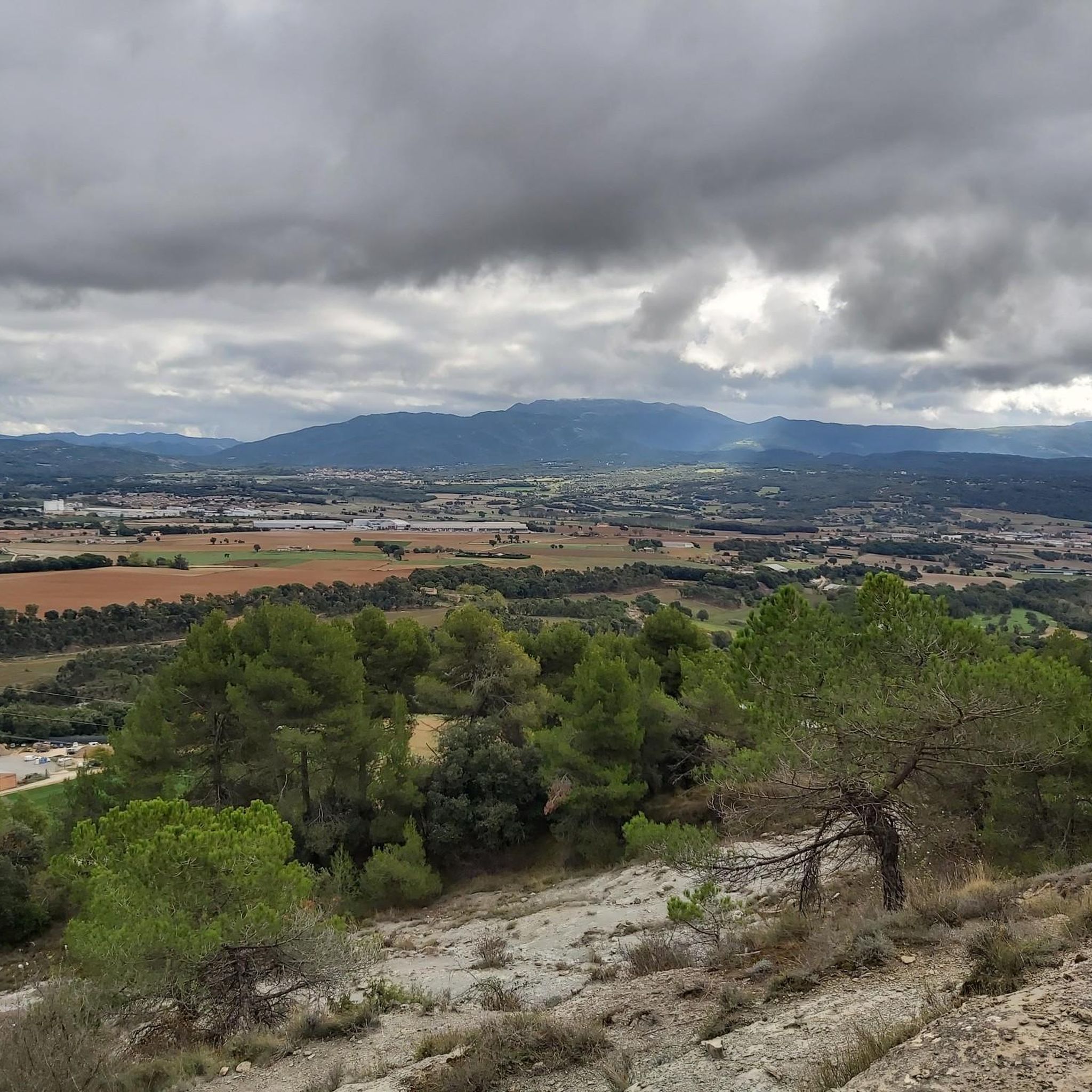
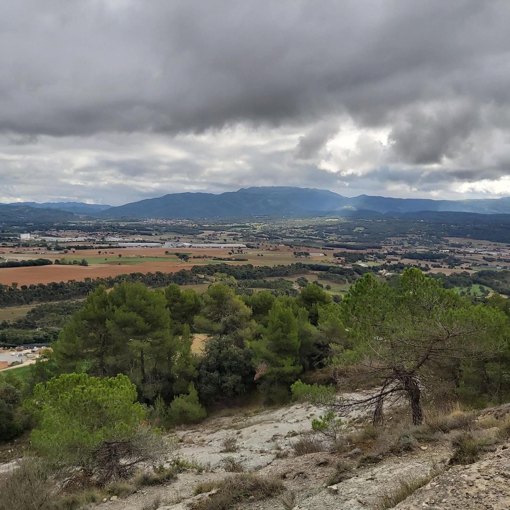
Hiking around Balenyà, a municipality in the Osona region of Catalonia, offers diverse landscapes from the headwaters of the Congost River to the Puigsagordi mountain range. The area provides views of the Montseny Massif and the Vic Plain, featuring varied terrain for hiking. Notable natural features include Puig Castellar, the highest peak at 1,017 meters, and the Bosc de la Sauva Negra forest. The region is characterized by forests, river valleys, and elevated viewpoints like Roc Gros.
Best hiking trails…
Last updated: July 6, 2026
27
hikers
7.44km
02:18
280m
280m
Moderate hike. Good fitness required. Easily-accessible paths. Suitable for all skill levels.
4.3
(3)
9
hikers
11.9km
03:33
340m
340m
Moderate hike. Good fitness required. Easily-accessible paths. Suitable for all skill levels.

Sign up for free
5.0
(1)
10
hikers
Moderate hike. Good fitness required. Easily-accessible paths. Suitable for all skill levels.
13
hikers
7.47km
01:59
80m
80m
Easy hike. Great for any fitness level. Easily-accessible paths. Suitable for all skill levels.
11
hikers
9.76km
02:57
330m
330m
Moderate hike. Good fitness required. Easily-accessible paths. Suitable for all skill levels.
Get access to more routes and recommendations from other explorers.
Sign up for free
Already have an account?
Our route recommendations are based on thousands of hikes, rides, and runs completed by other people on komoot.
Start today with a free account
Your next adventure awaits.
Login or Signup

Tips from the Community

An excellent route with the only handicap being the climb to the Castillo de Tona with an 18% gradient. Durillo
0
0

Whenever I pass by this place I stop to see how the Piineu looks in the distance, the Roc Gros, Puigsagordi, etc.
2
0
It is a quiet place to stop and enjoy the surroundings.
0
0

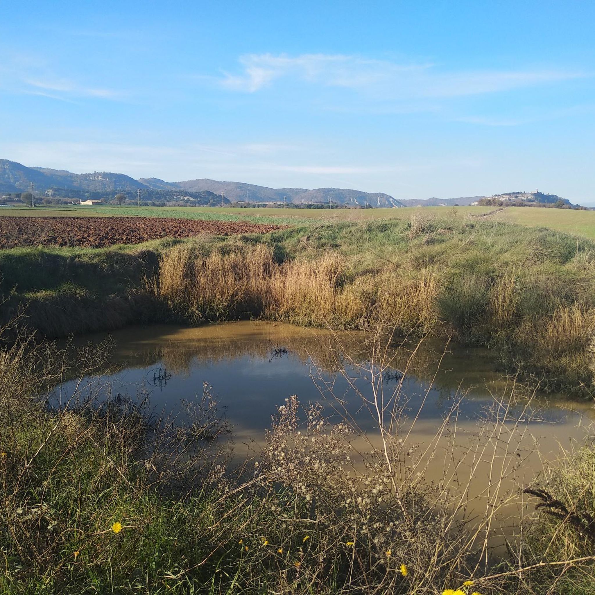
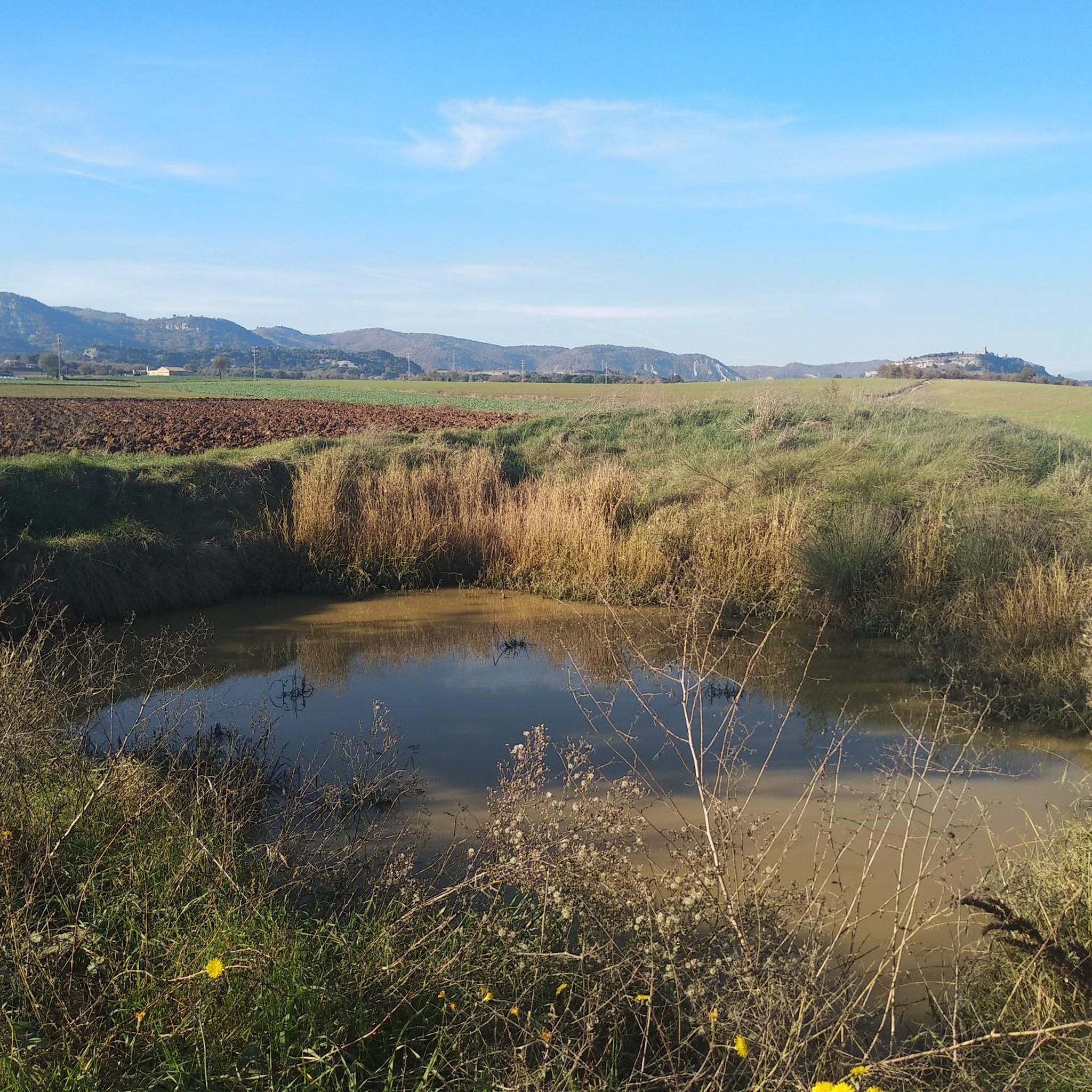
Romanesque church located on the asphalted rural road between the road from Seva and Hostalets de Balenyà, a road with the landscape of the Osona plain, and a corner where you can stop to rest or pass by avoiding traffic.
0
0

The Church of Sant Jaume de Viladrover is a Romanesque work in Brull (Osona) protected as a Cultural Property of Local Interest. Sant Jaume de Viladrover or dels Bastons is isolated, near a farmhouse, 2 km from Balenyà. It is a one-nave building, covered with a barrel vault with lunettes and toral arches, topped by a semicircular apse decorated with arches under a sawtooth frieze built at the beginning of the 20th century. On the north side, the body of the sacristy was added. It preserves the original door in the south wall, with a semi-circular arch with two-tone shutters, all of which have been blinded. The current access is on the west facade where there is a rectangular door under a 17th century semicircular pediment and a cross-shaped window. The most remarkable thing is the slightly rhomboid bell tower, three stories high, which rests on the vault at the west end of the nave. Despite the modifications from the Baroque era, it preserves some of the twined Romanesque windows with column and crescent capital and the decoration of arches under the Lombard-type saw-tooth frieze.
20
0

The chapel exists since before 948 according to the plaque in front of the building. This building is part of the Osona Romanesque route.
3
0

This church, located in the municipality of El Brull, is about 600 meters high and was built in 1131 and belongs to the Romanesque period.
0
0

Frequently Asked Questions
What types of hiking trails can I find in Balenyà?
Balenyà offers a diverse range of hiking trails, from easy strolls along river valleys to more demanding ascents in the Puigsagordi mountain range. You'll find routes that traverse lush forests, open plains, and provide panoramic views of the Montseny Massif and the Vic Plain. There are 25 hiking routes available, catering to various skill levels.
Are there any easy or family-friendly hiking routes in Balenyà?
Yes, Balenyà is well-suited for families and beginners, with 14 easy routes available. The Region Research mentions routes like the Camí del Grau del Racó, an easy out-and-back trail, and the Ruta del Camí Ral, which is very easy and suitable for both walking and cycling. The Ruta del Patrimoni Retrobat and Ruta dels Refugis are also highlighted as easy, family-friendly options.
Where can I find scenic viewpoints along the trails in Balenyà?
Many routes in Balenyà offer impressive viewpoints. A prominent one is El Roc Gros Viewpoint, which is featured on several popular trails. For example, the Help – El Roc Gros Viewpoint loop from Balenyà is a moderate route offering views from this spot. Puig Castellar, the highest peak in the municipality, also provides rewarding panoramic vistas.
Are there any circular hiking routes in Balenyà?
Yes, Balenyà has several circular routes. A popular moderate option is the El Roc Gros Viewpoint loop from Balenyà - Els Hostalets, which covers nearly 12 km. Another longer circular trail is the Sant Miquel de Vilageliu – El Roc Gros Viewpoint loop from Balenyà - Els Hostalets, spanning over 16 km.
What are some challenging hiking options in Balenyà?
While there are no routes officially graded as 'difficult' in the komoot data for Balenyà, some moderate routes offer significant elevation gain. The Ruta Gratant el cel de Balenyà, mentioned in the Region Research, is a 12 km route with approximately 490 meters of ascent, reaching the maximum altitude of 1017 meters at Puig Castellar, making it a more challenging option.
What historical or natural landmarks can I explore while hiking in Balenyà?
Balenyà is rich in both natural and historical landmarks. You can visit El Roc Gros Viewpoint, a prominent rock formation. The Bosc de la Sauva Negra is a beautiful forest known for prehistoric remains. Puig Castellar, the highest peak, was also an Iberian settlement. Additionally, you can explore historical sites like the Ermita de Sant Sebastià or the Ruins of Sant Pere del Coll de la Crossa.
Is Balenyà accessible by public transport for hikers?
The provided information does not detail specific public transport links directly to trailheads in Balenyà. However, Balenyà is a municipality in the Osona region, and it's advisable to check local bus or train schedules for connections to the town center, from which many routes typically start. Planning your journey in advance is recommended.
What is the best time of year to go hiking in Balenyà?
Balenyà's diverse landscapes, from river valleys to mountain ranges, make it suitable for hiking across multiple seasons. Spring and autumn generally offer pleasant temperatures and vibrant scenery, with lush greenery or autumnal colors. Summer can be warm, so early morning or late afternoon hikes are preferable. Winter hikes are possible, especially on lower elevation trails, but higher areas might require checking local weather conditions.
Are there any dog-friendly hiking trails in Balenyà?
While specific rules for dogs on each trail are not detailed, the natural environment of Balenyà, with its forests and open spaces, generally welcomes dogs. It's always recommended to keep dogs on a leash, especially in protected areas or near livestock, and to follow local regulations regarding pet waste. Most trails are suitable for well-behaved dogs.
What do other hikers enjoy most about hiking in Balenyà?
The hiking trails in Balenyà are highly rated by the komoot community, with an average score of 4.6 stars from over 400 reviews. Hikers often praise the diverse landscapes, including views of the Montseny Massif and the Congost River valley, as well as the variety of routes suitable for different abilities. The well-maintained trails and the blend of natural beauty with historical elements are frequently highlighted.
Are there any routes that pass by Sant Jaume de Viladrover?
Yes, you can explore the area around Sant Jaume de Viladrover. The Sant Jaume de Viladrover loop from Balenyà - Els Hostalets is an easy 7.5 km route that takes you through this area, offering a pleasant walk with minimal elevation gain.
Most popular attractions around Balenyà

Get inspired with the komoot mobile app


Explore more
Browse the best Hikes in other regions.
