The best cycling routes around Villamalur
4.4
(27)
637
riders
25
rides
Touring cycling around Villamalur offers access to the Sierra de Espadán Natural Park, characterized by its rolling mountainous terrain and diverse forests of pine, Holm-oak, and cork trees. The region features varied road routes with significant elevation changes, including notable climbs and descents. Cyclists can expect a landscape of "ups and downs" with several hills and panoramic viewpoints. This area provides a natural setting for exploring the Spanish countryside on two wheels.
Best touring cycling routes around Villamalur
- The most…
Last updated: July 11, 2026
5.0
(1)
23
riders
62.2km
04:42
1,520m
1,520m
Hard bike ride. Very good fitness required. Mostly paved surfaces. Suitable for all skill levels.
5.0
(1)
19
riders
44.4km
04:27
1,240m
1,240m
Hard bike ride. Very good fitness required. Mostly paved surfaces. Suitable for all skill levels.

Sign up for free
5.0
(1)
12
riders
37.9km
03:49
1,320m
1,320m
Hard bike ride. Very good fitness required. Mostly paved surfaces. Suitable for all skill levels.
18
riders
37.4km
04:09
1,160m
1,160m
Hard bike ride. Very good fitness required. You may need to push your bike for some segments of this route.
9
riders
Hard bike ride. Very good fitness required. Mostly paved surfaces. Suitable for all skill levels.
Get access to more routes and recommendations from other explorers.
Sign up for free
Already have an account?
Our route recommendations are based on thousands of hikes, rides, and runs completed by other people on komoot.
Start today with a free account
Your next adventure awaits.
Login or Signup

Tips from the Community

Aqueducts built by the Moors to allow irrigation water to pass through the ravine and thus extend their irrigated fields. The most notable are those of Horta Nova and Alfara.
1
0
Almedíxer is located in the heart of the Sierra de Espadán and was occupied by the Republican army under the command of General Leopoldo Menéndez. The XYZ line (or Matallana line) crossed it, and several historical vestiges remain of it. This XYZ line was made up of a network of trenches and shelters dug to take advantage of the rough terrain of the hills located to the north and northeast of Valencia, which made it difficult to destroy them only by means of air attacks. Given the danger of bombers, frequent during the time of the confrontation between the two armies around the XYZ line, shelters were built where the inhabitants of Almedíjar could hide from the presence of the "Pava", the sound of which alerted the population and preceded the dropping of bombs. The "Pava" was the name by which the Heinkel He 46 combat aircraft, a German monoplane that participated in the bombings carried out during the Civil War, was popularly known. Today, a large part of the defensive constructions of the Civil War, such as parapets or observation points, are preserved. Among these, the shelters of Castillet, Mosquera and Canyar stand out. This last shelter has the typical structure of this type of war construction, since it had three entrances, a corridor that connected them and a rectangular room where people sat down to wait for the bombing to end. Currently, only one entrance and the room where people waited for the bombing to end are preserved.
1
0
With water of recognized quality.
2
0
In the center of Almedíxer we steal the church and a door from the old palace of the Count of Puñonrotro and which serves as a border between it and the Muslim area that occupied the central nucleus of the town, from the northern area of the Plaza de l'Església to the Plaza del Rosario, the end point of the old Roman decumanus that reaches the houses on Moreral Street. This part forms a parallelogram of houses connected to each other by an interior courtyard.
1
0
Well preserved section of the old Roman road.
1
0
Construction with reeds to provide shade to the park's agora (it lacks maintenance).
1
0
RURAL MEETING SPACE “LA SURERA” RURAL HOSTEL Hostel Yoga room CONSCIOUS FOOD Olive groves Chicken coop Orchards Moorish oven Shared workshop ARTISTIC RESIDENCES Sound space Paper and experimentation workshop Graphic arts workshop LOCAL KNOWLEDGE Ceramics workshop Tool workshop TRAINING Coworking room
1
0

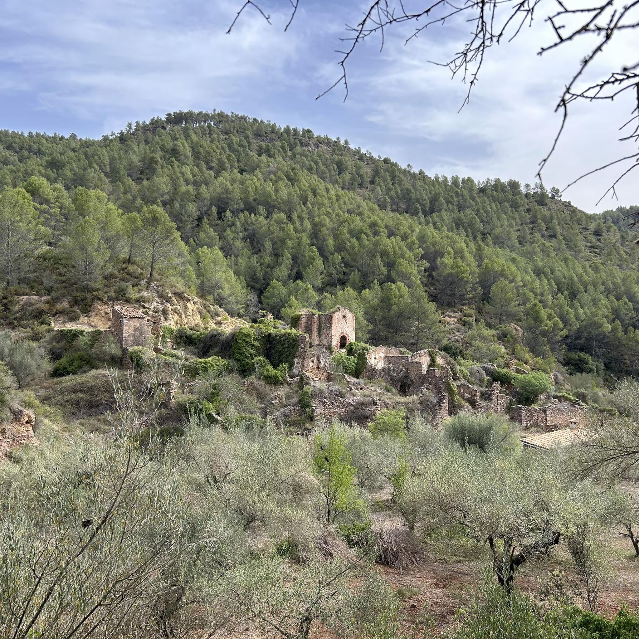
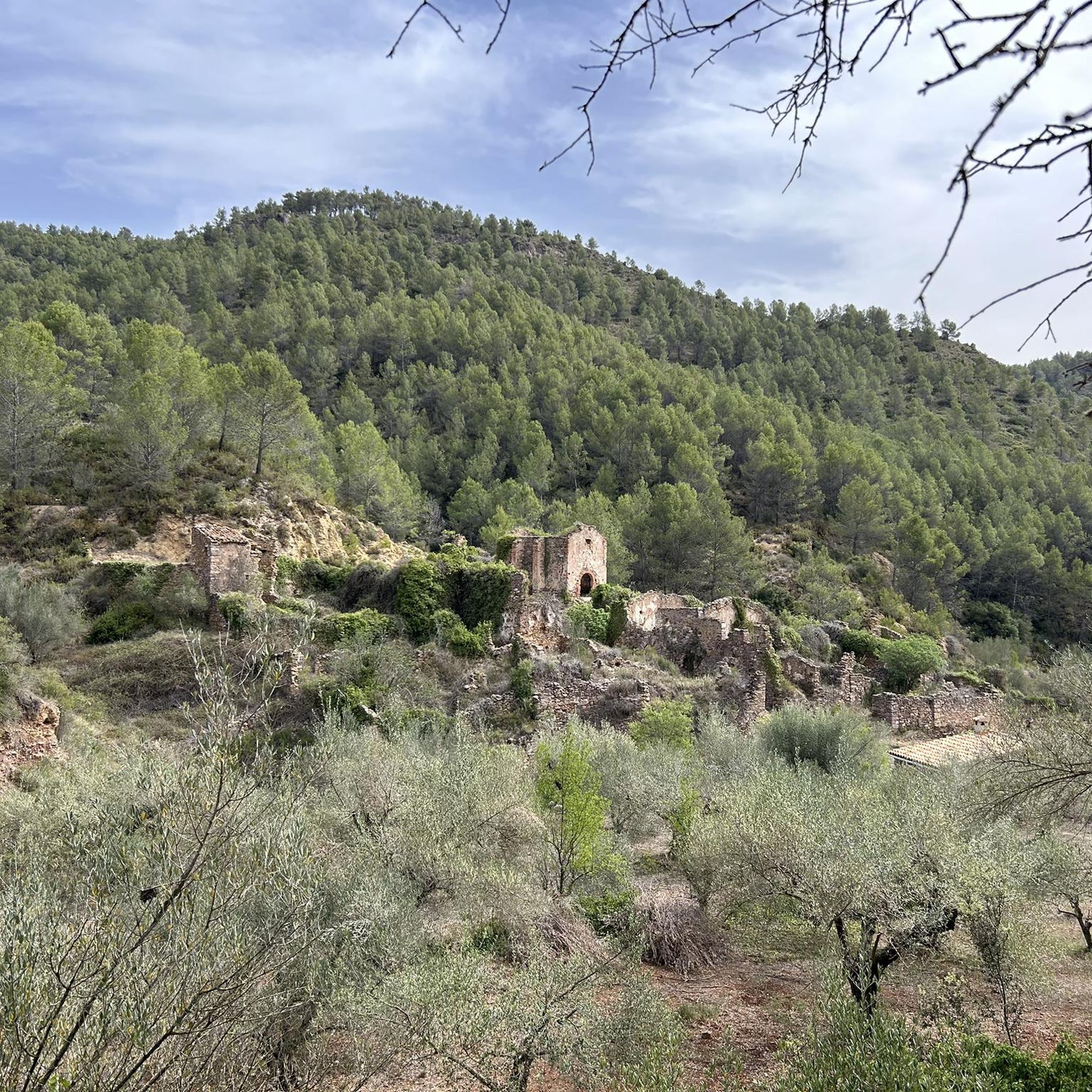
Beautiful water reservoir surrounding with forest and rocks. Great views to Orgues de Benitandus. Unfortunately the level of water is dramatically low nowadays. It's even possible to visit remaining of an old building (mill?) on the river bed which looks like it was under water for a long time.
0
0
Frequently Asked Questions
What kind of terrain can I expect when touring cycling around Villamalur?
Villamalur, located within the Sierra de Espadán Natural Park, offers a diverse landscape characterized by rolling, mountainous terrain. You'll encounter a mix of challenging climbs, such as the Collado de Ayodar and Alto del Tajar, and relaxing descents. The routes feature significant elevation changes, with some sections having gradients up to 10%, but also flatter roads for recovery. The area is rich in pine, Holm-oak, and cork tree forests.
Are there many difficult touring cycling routes in Villamalur?
Yes, the touring cycling routes around Villamalur are predominantly challenging. Out of approximately 27 routes available, 24 are rated as difficult, with 3 moderate options. These routes often feature substantial elevation gains, making them suitable for experienced cyclists looking for a demanding ride through the Sierra de Espadán Natural Park.
What are some notable natural features or viewpoints I can see on a touring cycling route?
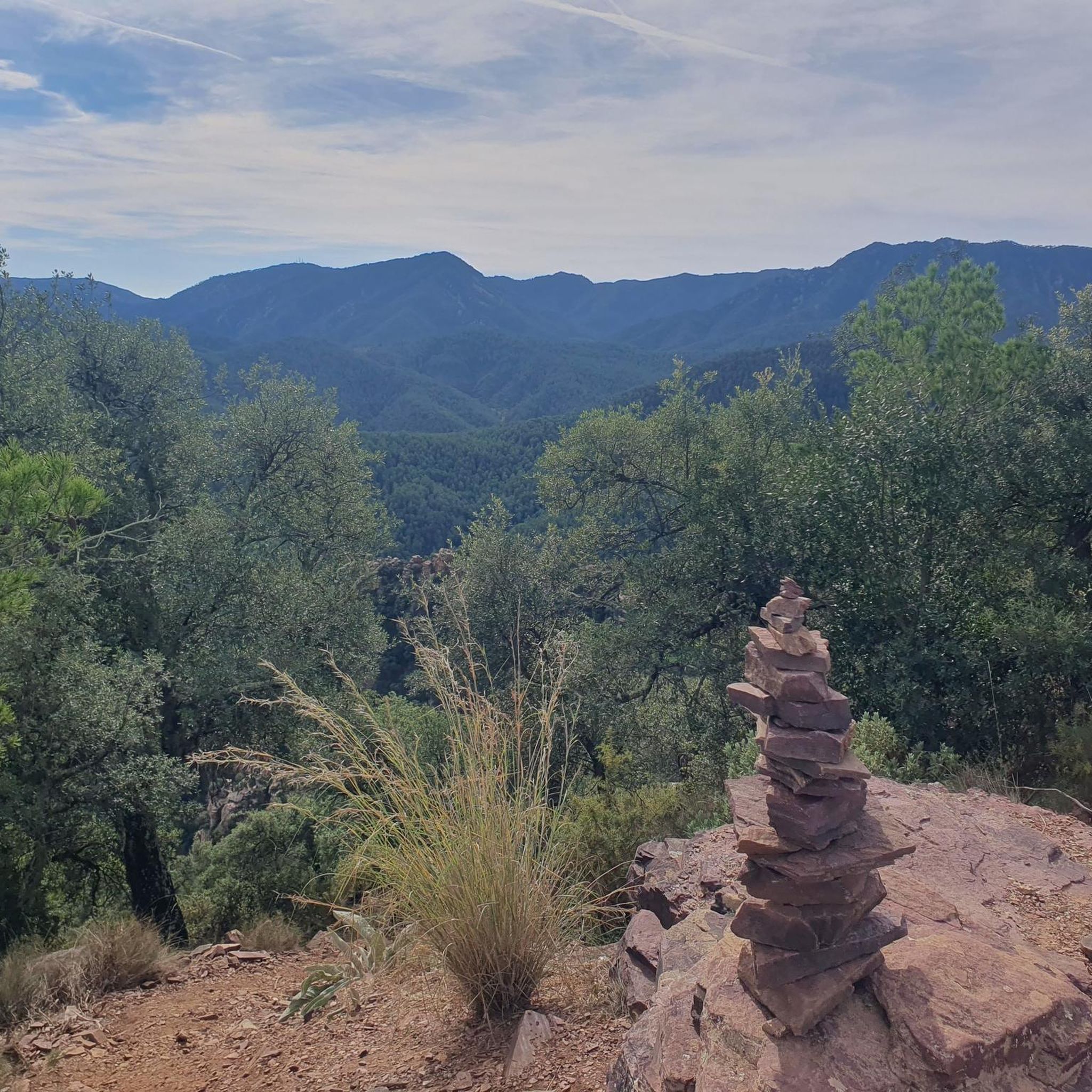
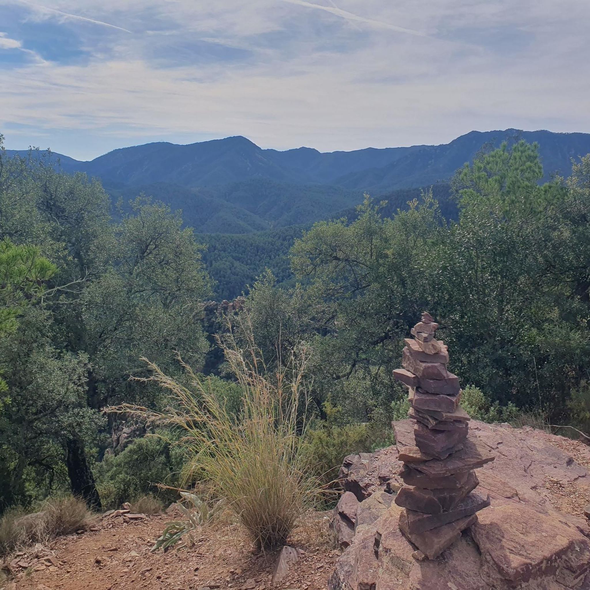
The region boasts several stunning natural features and viewpoints. From the prominent Mount of Tajar, you can enjoy breathtaking panoramic views of the expansive Espadán mountain range, the Mediterranean Sea, Peñagolosa, and the Javalambre and Calderona mountain ranges. You might also encounter the 17th-century snow deposit at La Nevera Cuatro Caminos, adding a touch of historical interest to your ride. For a specific natural monument, consider visiting the Órganos de Benitandús.
Are there any circular touring cycling routes available in Villamalur?
Yes, many of the touring cycling routes around Villamalur are designed as loops, allowing you to start and finish in the same location. For example, the challenging Torralba del Pinar – Benitandús Reservoir loop from Parc Natural de la Serra d'Espadà is a popular option, covering 62.6 km with significant elevation gain. Another loop is the Collado del Federo – Ruinas del Palacio Feudal loop from Fuentes de Ayódar, which is 31.6 km long.
What do other cyclists say about touring cycling in Villamalur?
The touring cycling routes in Villamalur are highly regarded by the komoot community, holding an impressive average rating of 4.5 stars from over 30 reviews. Cyclists often praise the stunning natural beauty, the challenging yet rewarding terrain, and the immersive experience of riding through cork oak forests and ancient villages within the Sierra de Espadán Natural Park.
Are there any waterfalls or other water features accessible from the cycling routes?
Yes, you can find beautiful water features in the vicinity. The Salto de la Novia of Cirat is a notable waterfall nearby that can be a rewarding stop or detour during your cycling adventure. The Rambla de Villamalur also indicates diverse natural environments with recreational spots.
What kind of historical or cultural landmarks can I explore while cycling near Villamalur?
Beyond the natural beauty, the region offers glimpses into its rich history. You can encounter ancient villages and even the ruins of a feudal palace, as seen on the Collado del Federo – Ruinas del Palacio Feudal loop from Fuentes de Ayódar. The 17th-century snow deposit at La Nevera Cuatro Caminos is another historical point of interest. Further afield, you might consider visiting Aín Village or Onda Castle.
Are there any family-friendly touring cycling options around Villamalur?
Given that 24 out of 27 routes are rated as difficult, and there are no easy routes, the touring cycling options around Villamalur are primarily suited for experienced cyclists. While there are 3 moderate routes, families with young children or those seeking very gentle rides might find the terrain challenging due to significant elevation changes. It's advisable to check individual route profiles carefully for suitability.
Where can I find places to eat or stay near the cycling routes in Villamalur?
Villamalur is a common stop for cyclists, with places like Bar El Hogar being popular. Some routes, such as the Bar Antonio (accommodation) – Picnic Area loop from Matet, even start or pass by establishments offering accommodation and refreshments. The presence of picnic areas equipped for cooking paella also suggests well-maintained natural recreational spots where you can rest and refuel.
What is the typical distance for touring cycling routes in Villamalur?
The touring cycling routes around Villamalur vary in distance, generally ranging from moderate to longer rides. For instance, the Bar Antonio (accommodation) – Picnic Area loop from Matet is approximately 37.4 km, while the Picnic Area – Plaza Mayor de Montán loop from Higueras covers about 42.1 km. The longest featured route, Torralba del Pinar – Benitandús Reservoir loop from Parc Natural de la Serra d'Espadà, extends to 62.6 km.
Is it possible to find routes that connect to greenways or former railway lines?
Yes, you can find routes that incorporate such features. For example, the Jérica – Ojos Negros Greenway loop from Algimia de Almonacid offers a touring cycling experience that utilizes the Ojos Negros Greenway, providing a different type of terrain compared to the more mountainous paths in the natural park.
Most popular attractions around Villamalur

Get inspired with the komoot mobile app


Explore more
Browse the best Cycling routes in other regions.
