The best running trails around Picanya
3.9
(145)
13,133
runners
18
runs
Jogging around Picanya offers established running routes and access to green spaces within the wider Valencia region. The area features a network of paths suitable for various fitness levels, with routes varying in length and generally presenting low elevation changes. While specific natural landmarks are not prominent directly within Picanya, its proximity to the Valencian Community's parks enhances its appeal for diverse running environments. These routes provide opportunities to explore the local landscape and connect with nearby natural areas.
Best…
Last updated: July 5, 2026
2.0
(2)
33
runners
7.30km
00:45
10m
10m
Moderate run. Good fitness required. Mostly paved surfaces. Suitable for all skill levels.
9
runners
13.8km
01:25
30m
30m
Moderate run. Good fitness required. Mostly paved surfaces. Suitable for all skill levels.

Sign up for free
5
runners
4.51km
00:29
10m
10m
Easy run. Great for any fitness level. Mostly paved surfaces. Suitable for all skill levels.
5
runners
9.65km
01:00
20m
20m
Moderate run. Good fitness required. Mostly paved surfaces. Suitable for all skill levels.
4
runners
10.1km
01:03
30m
30m
Moderate run. Good fitness required. Mostly paved surfaces. Suitable for all skill levels.
Get access to more routes and recommendations from other explorers.
Sign up for free
Already have an account?
Our route recommendations are based on thousands of hikes, rides, and runs completed by other people on komoot.
Start today with a free account
Your next adventure awaits.
Login or Signup

Tips from the Community

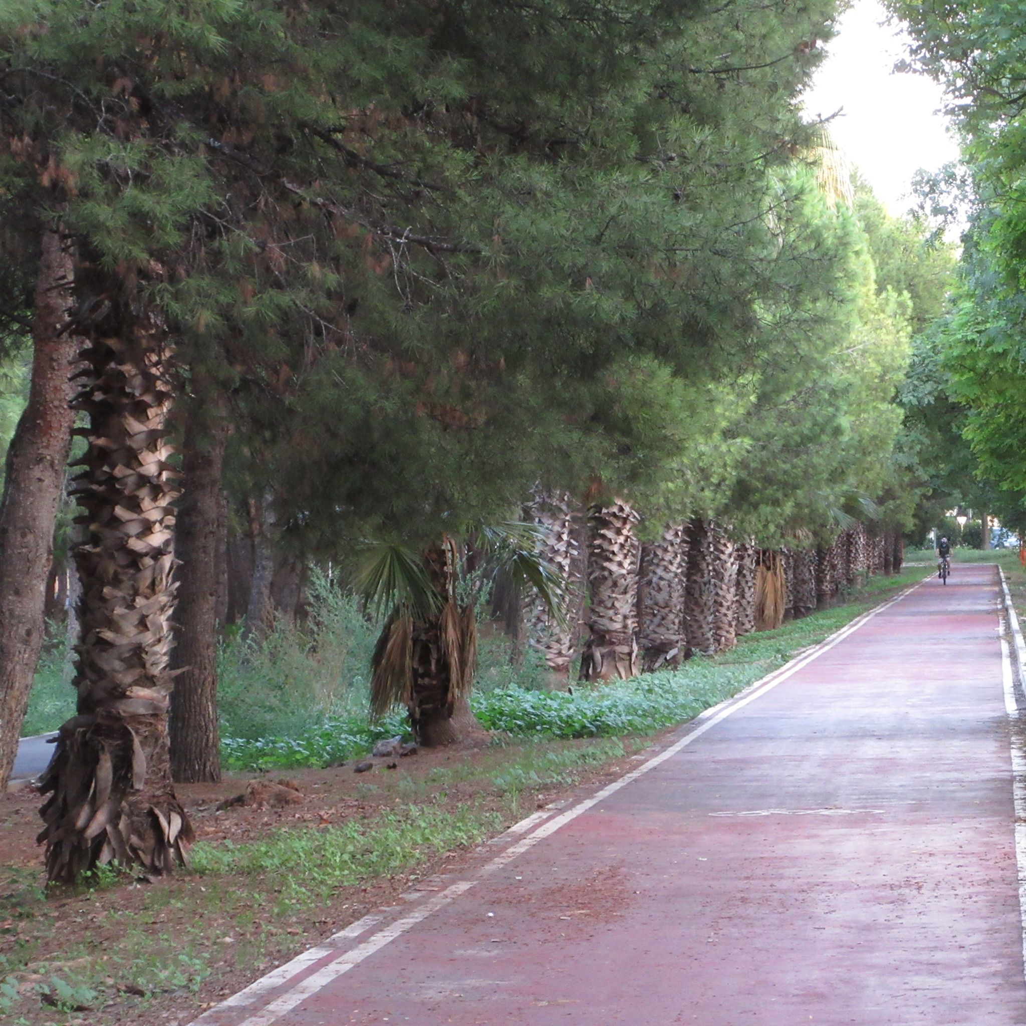
Carril bici en la CV-400, l'Avinguda del Sud, també coneguda com a camí de les rotondes o ruta del colesterol per la quantitat de persones que aprofita este carril bici per a passejar o córrer.
1
0

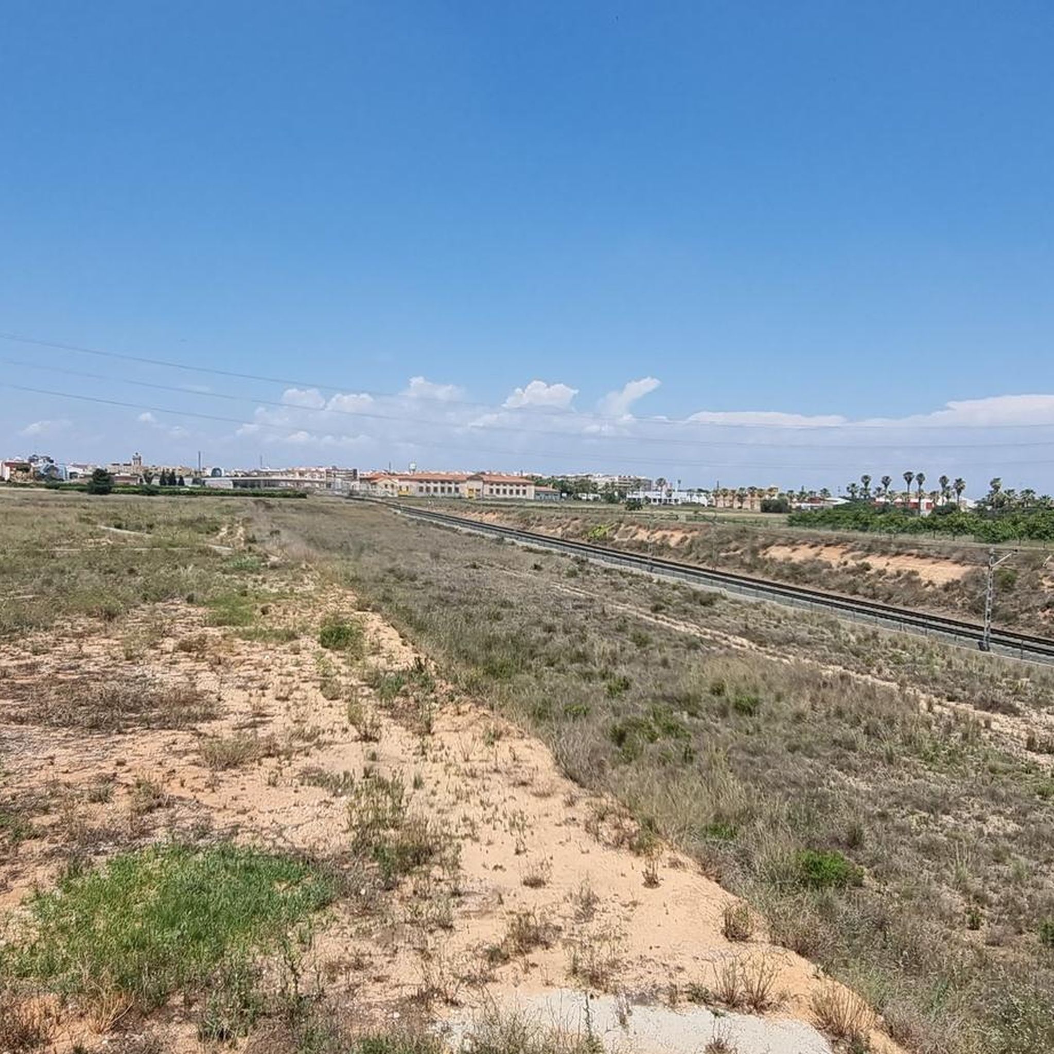
The surrounding area is mostly farmland, where the Paiporta Cemetery is located. This is a paved section of road that connects the town of Paiporta to Catarroja and Albal. As I'm walking/running toward Albal, I take the path on the left at the crossroads, called Camino de Catarroja.
0
0
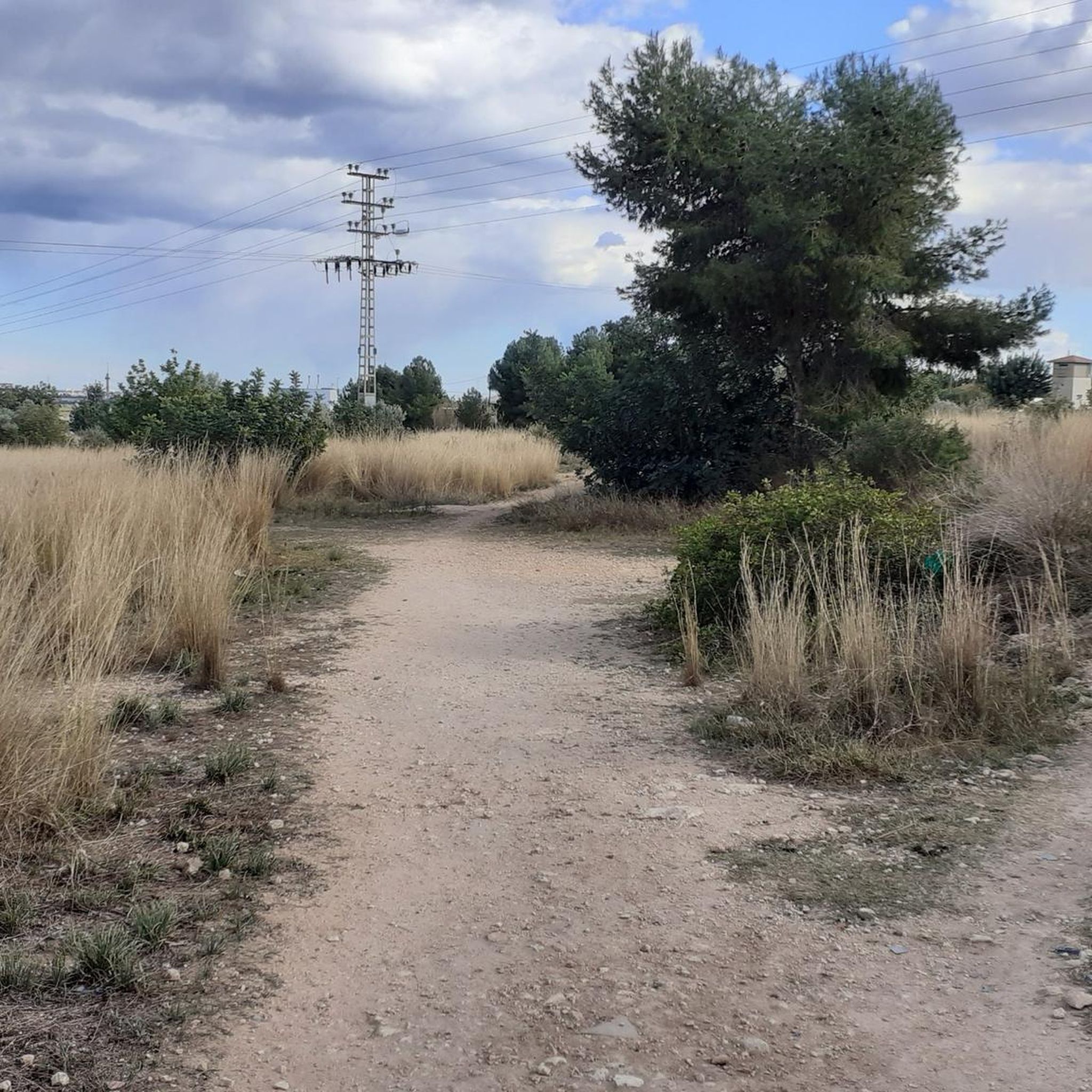
There is practically no vehicle traffic.
0
0
Protest wall of the LGTBIQ+ movement.
1
0
Protest wall of the LGTBIQ+ movement
2
0

bike path known as the cholesterol road that goes from the tower to Albal
1
1
Frequently Asked Questions
How many running routes are available in Picanya?
Picanya offers a good selection of running routes, with over 18 different trails available on komoot. These routes cater to various preferences, from shorter, easier loops to longer, more moderate runs.
What is the typical terrain and difficulty of running trails in Picanya?
The running routes in Picanya generally feature low elevation changes, making them suitable for a wide range of fitness levels. Most trails are classified as moderate, with one easy route available. They often pass through agricultural areas, suburban greenways, and local green spaces, providing a consistent path for runners.
Are there options for different running distances in Picanya?
Yes, Picanya's running network provides varied distances. For example, you can find shorter routes like the Running loop from Picanya, which is about 7.3 km, or longer options such as the Vía del Colesterol loop from Picanya, extending to 13.6 km.
Are there circular running routes available in Picanya?
Many of the running paths in Picanya are designed as loops, offering convenient circular routes. Examples include the popular Running loop from Picanya and the Camino de Catarroja loop from Picanya, allowing you to start and finish at the same point.
What natural features or landmarks can I see while running near Picanya?
While specific natural landmarks are not prominent directly within Picanya, its proximity to the wider Valencian Community offers access to diverse environments. Nearby attractions include the significant Albufera Natural Park, known for its lake and natural beauty, and the Swan Lake in Parque de Cabecera. You might also encounter agricultural landscapes and local green spaces along the routes.
What do other runners say about the trails in Picanya?
The running routes in Picanya are highly regarded by the komoot community, holding an average rating of 3.9 stars from over 120 reviews. More than 13,000 runners have explored these paths, often praising the consistent terrain and the accessibility of local green spaces.
Are there any easy running routes suitable for beginners in Picanya?
Yes, there is at least one easy running route available, such as the Running loop from Paiporta, which is about 4.5 km. Most routes are moderate, but their low elevation gain makes them generally accessible for those new to running or looking for a less strenuous workout.
Is Picanya a good place for family-friendly running?
Given the low elevation changes and the presence of local green spaces and established paths, many of Picanya's moderate and easy running routes can be suitable for families. The focus on general outdoor activities in the region also supports its appeal for family outings.
Can I bring my dog on the running trails in Picanya?
While specific regulations for dogs on every trail are not detailed, the presence of numerous green spaces and outdoor activity routes in Picanya and the wider Valencia region generally suggests a dog-friendly environment. It's always advisable to keep dogs on a leash and follow local etiquette.
What is the best time of year to go running in Picanya?
The Valencian Community, where Picanya is located, generally enjoys a mild climate. Spring and autumn typically offer the most comfortable temperatures for running. Summer can be warm, so early morning or late evening runs are often preferred, while winters are usually mild enough for outdoor activity.
Are there any longer running routes for experienced runners?
Absolutely. For those seeking a longer challenge, the Vía del Colesterol loop from Picanya covers 13.6 km, and another Running loop from Picanya extends to 10.1 km. These moderate routes provide ample distance for more experienced runners.
How accessible are Picanya's running trails by public transport?
Picanya is part of the wider Valencia region, which is known for its urban planning and accessibility. While specific public transport links to every trailhead are not detailed, the town itself is generally well-connected, suggesting that many routes are within reasonable reach from public transport stops within Picanya.
Most popular attractions around Picanya

Get inspired with the komoot mobile app


Explore more
Browse the best Running Trails & Routes in other regions.
