The best walks and hikes around Huertahernando
4.4
(7)
83
hikers
11
hikes
Hiking trails around Huertahernando are situated within the Alto Tajo Natural Park, offering diverse landscapes for outdoor exploration. The region is characterized by the Tajo River, which carves impressive gorges and features clear waters. Elevated hills provide expansive views, while the terrain includes rich forest cover with holm oaks, pines, and junipers, alongside descending valleys.
Best hiking trails around Huertahernando
- The most popular hiking route is Beach of Puente de San Pedro and waterfall of Campillo - circular in the…
Last updated: June 28, 2026
5.0
(1)
13
hikers
Moderate hike. Good fitness required. Mostly accessible paths. Sure-footedness required.
3.0
(1)
12
hikers
Moderate hike. Good fitness required. Mostly accessible paths. Sure-footedness required.

Sign up for free
2
hikers
11.4km
03:25
260m
260m
Moderate hike. Good fitness required. Mostly accessible paths. Sure-footedness required.
1
hikers
23.4km
06:40
530m
530m
Hard hike. Very good fitness required. Mostly accessible paths. Sure-footedness required.
1
hikers
Moderate hike. Good fitness required. Mostly accessible paths. Sure-footedness required.
Get access to more routes and recommendations from other explorers.
Sign up for free
Already have an account?
Our route recommendations are based on thousands of hikes, rides, and runs completed by other people on komoot.
Start today with a free account
Your next adventure awaits.
Login or Signup
Popular around Huertahernando
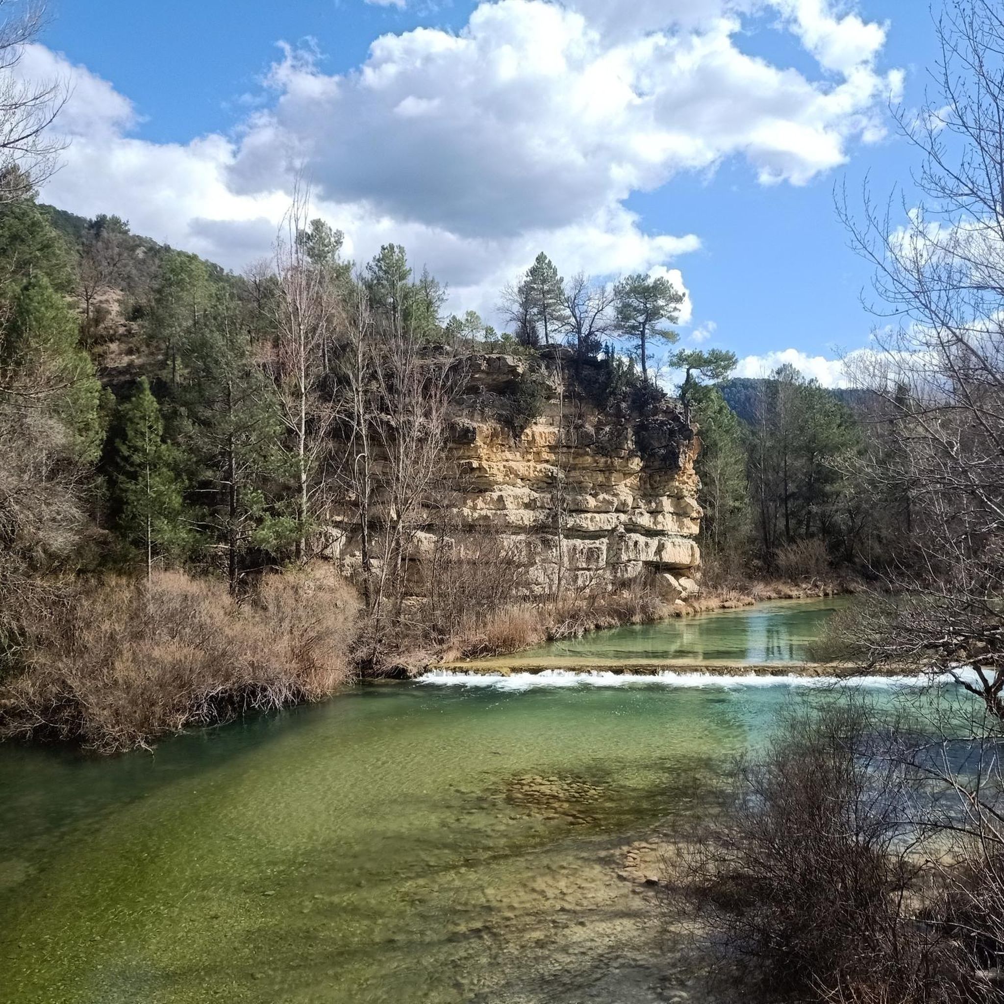
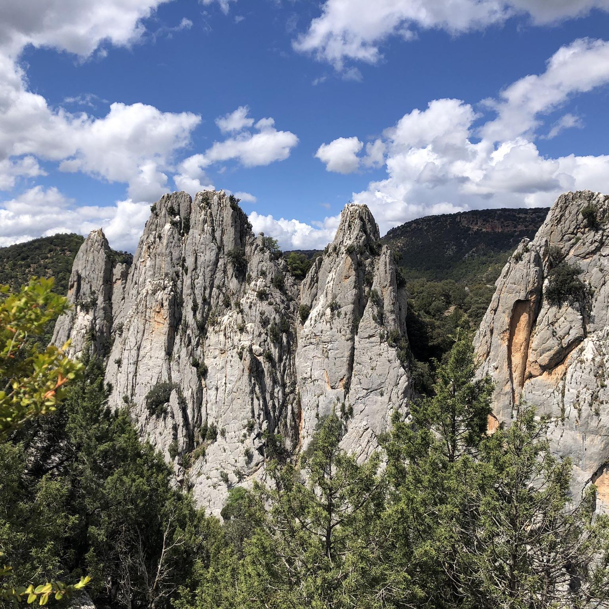
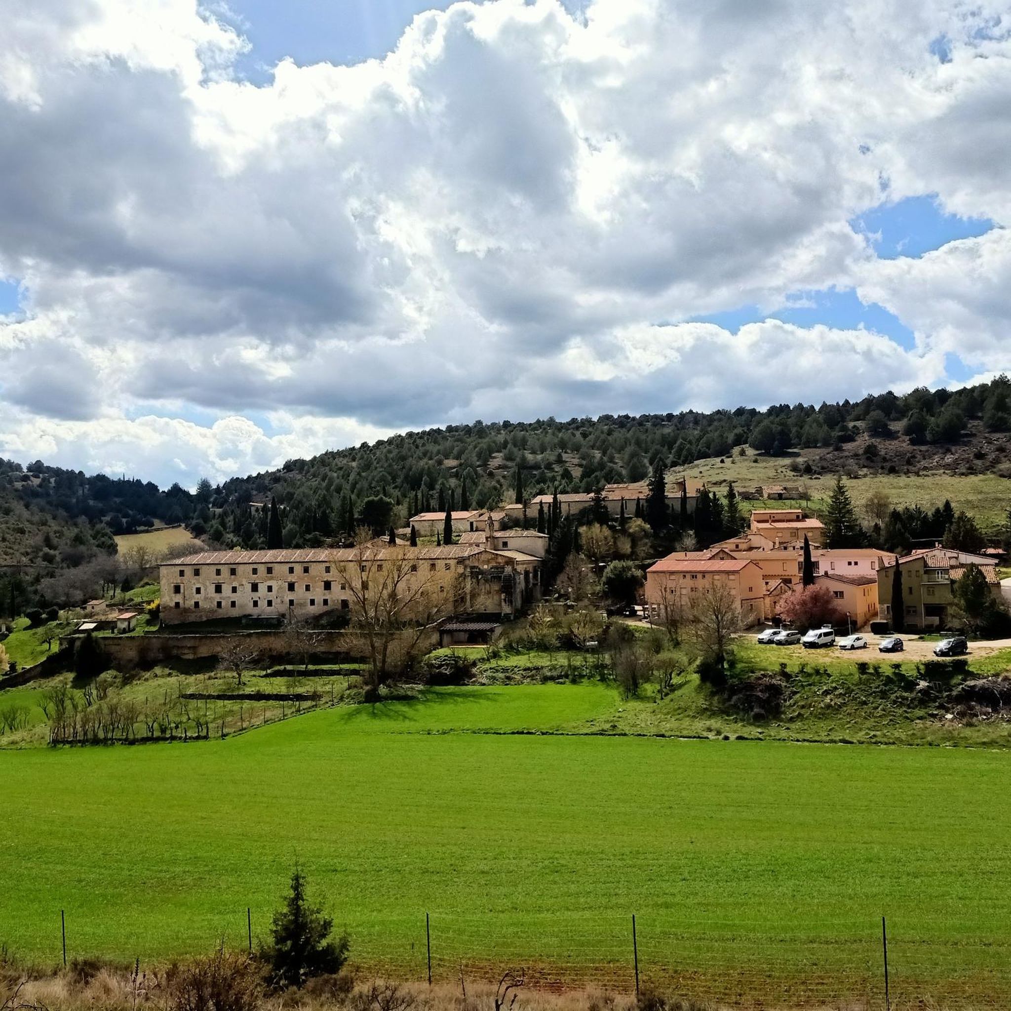
Tips from the Community

A curious place where the collapse of the side cliffs, as a consequence of the Lisbon earthquake, closed the Tagus River for several days, interrupting the flow of water. Today, there are still a large number of huge rocks at the bottom of the Tagus. It is worth visiting.
0
0
On the banks of the Tagus River, at a crossroads, it is an ideal place to take a break on the route. If you approach the riverbank, you will be surprised by its majesty and bravery.
0
0

Zaorejas is a small town with just over 100 inhabitants that is crossed by several small streams that flow into the Tagus River. It is a picturesque place with many old stone houses and views of the surroundings.
1
0
The Escaleruela path runs from Zaorejas to the GR-133. The section ends with the GR-133, runs through the Ciño Negro ravine and passes through the Escaleruela cave and the Escaleruela waterfall. This is a perfect place to see the flora and fauna of the Alto Tajo Natural Park, such as the red fox or the Gyps fulvus.
1
0
A very nice bridge for walkers and cyclists if they ride a bike. It allows you to cross the Tagus River and avoid the road. The view from both bridges is nice, but I prefer the safety of the pedestrian bridge.
1
0
There is a parking very close so you don't have to walk far. I think it's more fun to include in a long hike, but the views are good either way. From here you can tour the entire valley and down the river. It's quite spectacular and there are several map boards that explain what you're seeing.
2
0

Bridge that allows the hiker to cross the Tagus River over its crystalline waters.
0
0
Summit with privileged views of the karstic system that occurs in the Hundido de Armallones.
3
0
Frequently Asked Questions
What kind of natural landscapes can I expect to see while hiking near Huertahernando?
Huertahernando is situated within the Alto Tajo Natural Park, offering a diverse range of landscapes. You'll encounter the impressive gorges carved by the Tajo River, crystal-clear waters, and rich forest cover featuring holm oaks, pines, junipers, and savin junipers. Elevated hills provide expansive views, and descending valleys add to the varied scenery.
Are there any circular hiking routes available in the Huertahernando area?
Yes, there are several excellent circular routes. A popular option is the Beach of Puente de San Pedro and waterfall of Campillo - circular in the Natural Park of Alto Tajo, which is a moderate 8.8 km trail. Another highly-rated circular path is the Pico del Alar – circular by Salinas de la Inesperada from Ocentejo – Parque Natural del Alto Tajo, covering 15.7 km and including a peak and salt flats.
What interesting landmarks or natural features can I discover on hikes around Huertahernando?
Hikers can explore several notable features. The San Pedro Bridge is a picturesque crossing over the Tajo River. You can also find the Escaleruela Waterfall and the Laguna del Ciño Negro. The region is also known for its impressive gorges, such as the Narrow pass near the Tajo River and La Tormellera Gorge.
Are there any trails that feature waterfalls near Huertahernando?
Yes, the area offers trails with waterfalls. The Beach of Puente de San Pedro and waterfall of Campillo - circular in the Natural Park of Alto Tajo route specifically highlights a waterfall. Additionally, the Camino de la Escaleruela a Cascada de la Escaleruela trail leads to the Escaleruela Waterfall.
What is the general difficulty level of hiking trails around Huertahernando?
Most hiking trails around Huertahernando are classified as moderate, offering a good balance for various fitness levels. There are also some more challenging routes, such as the Hundido de Armallones Loop, which is considered difficult. Currently, there are no easy trails listed, so hikers should be prepared for moderate exertion.
Can I find trails with good viewpoints in the Huertahernando area?
Absolutely. Huertahernando itself is situated on an elevated hill, providing expansive views. The San Pedro Bridge and Zaorejas Viewpoint Loop is a route specifically designed to include the Zaorejas Viewpoint, offering panoramic vistas of the surrounding natural park.
What do other hikers say about the trails in Huertahernando?
The hiking routes in Huertahernando are highly rated by the komoot community, with an average score of 4.3 stars from 4 reviews. Over 70 hikers have used komoot to explore the varied terrain, often praising the Tajo River gorges, dense forests, and elevated viewpoints.
Are there any long-distance hiking opportunities in the region?
Yes, a section of the extensive Camino Natural del Tajo, which traces the entire Tajo River for over 1000 kilometers, passes through Huertahernando. This offers excellent opportunities for long-distance trekking through varied and scenic landscapes.
What kind of forests can I expect to see while hiking in the Alto Tajo Natural Park?
The region is characterized by rich forest cover, with mountains populated by a variety of trees and shrubs. You'll commonly find holm oaks, pines, junipers, boxwood, and savin junipers. Nearby areas, like Villar de Cobeta, are particularly known for their sabinares (juniper forests) and pinares (pine forests).
Are there any places to relax by the water after a hike?
Yes, for those seeking waterside relaxation, small beaches can be found on the banks of the Gallo River, particularly near the Puente de San Pedro. These spots offer a refreshing stop after exploring the trails.
What is the longest moderate hike available around Huertahernando?
The longest moderate hike is the Pico del Alar – circular by Salinas de la Inesperada from Ocentejo – Parque Natural del Alto Tajo, which spans 15.7 kilometers and typically takes around 4 hours and 47 minutes to complete.
Most popular attractions around Huertahernando

Get inspired with the komoot mobile app


Explore more
Browse the best Hikes in other regions.
