The best walks and hikes around Stecknitz-Delvenau-Niederung
4.6
(2772)
9,431
hikers
645
hikes
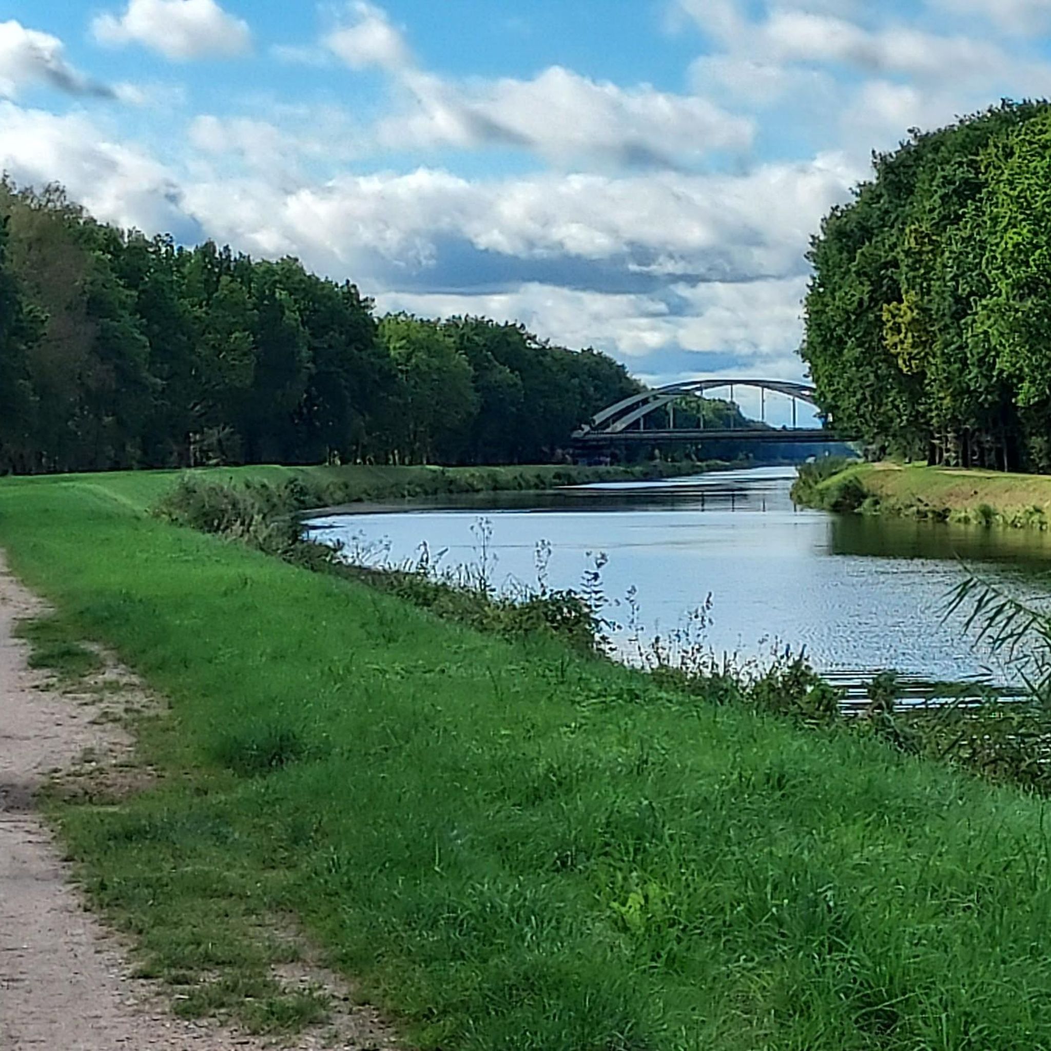
Hiking around Stecknitz-Delvenau-Niederung offers trails through a landscape shaped by the last ice age, characterized by the lowlands of the Delvenau river. This protected area features a mosaic of green meadows, reed beds, and small forest patches. The region is also defined by the historic Elbe-Lübeck Canal, which largely follows Europe's first summit-level canal, the Stecknitz Canal. Hikers can explore paths alongside this waterway, observing remnants of its ancient route.
Best hiking trails around Stecknitz-Delvenau-Niederung
- The most popular hiking route is Bahnkanal Bridge at Lanzer See – Basedow Canal Bridge loop from Dalldorf, a 5.0 miles (8.1 km) trail that takes 2 hours 3 minutes to complete. This moderate route offers views of the canal and surrounding lowlands.
- Another top favourite among local hikers is Forellensee Campsite – Elbe-Lübeck Canal at Witzeeze loop from Witzeeze, an easy 2.8 miles (4.5 km) path. This trail follows the Elbe-Lübeck Canal, providing access to the natural surroundings.
- Local hikers also love the Elbe-Lübeck Canal at Witzeeze – Forellensee Campsite loop from Witzeeze, a 3.2 miles (5.2 km) trail leading through the canal landscape, often completed in about 1 hour 18 minutes.
- Hiking around Stecknitz-Delvenau-Niederung is defined by historical waterways, diverse natural features, and serene lowlands. The network offers options for easy, moderate, and difficult trails.
- The routes in Stecknitz-Delvenau-Niederung are highly rated by the komoot community with an average score of 4.6 stars from over 2300 reviews. More than 9000 hikers have used komoot to explore Stecknitz-Delvenau-Niederung's varied terrain.
Last updated: October 1, 2026
4.8
(11)
48
hikers
8.70km
02:14
30m
30m
Moderate hike. Good fitness required. Easily-accessible paths. Suitable for all skill levels.
4.8
(93)
119
hikers
7.94km
02:01
20m
20m
Moderate hike. Good fitness required. Easily-accessible paths. Suitable for all skill levels.

4.7
(18)
51
hikers
Easy hike. Great for any fitness level. Easily-accessible paths. Suitable for all skill levels.
4.7
(18)
51
hikers
Easy hike. Great for any fitness level. Easily-accessible paths. Suitable for all skill levels.
4.8
(12)
21
hikers
15.0km
03:49
40m
40m
Moderate hike. Good fitness required. Easily-accessible paths. Suitable for all skill levels.
Get access to more routes and recommendations from other explorers.
Already have an account?
Our route recommendations are based on thousands of hikes, rides, and runs completed by other people on komoot.
Start today with a free account
Your next adventure awaits.
Popular around Stecknitz-Delvenau-Niederung
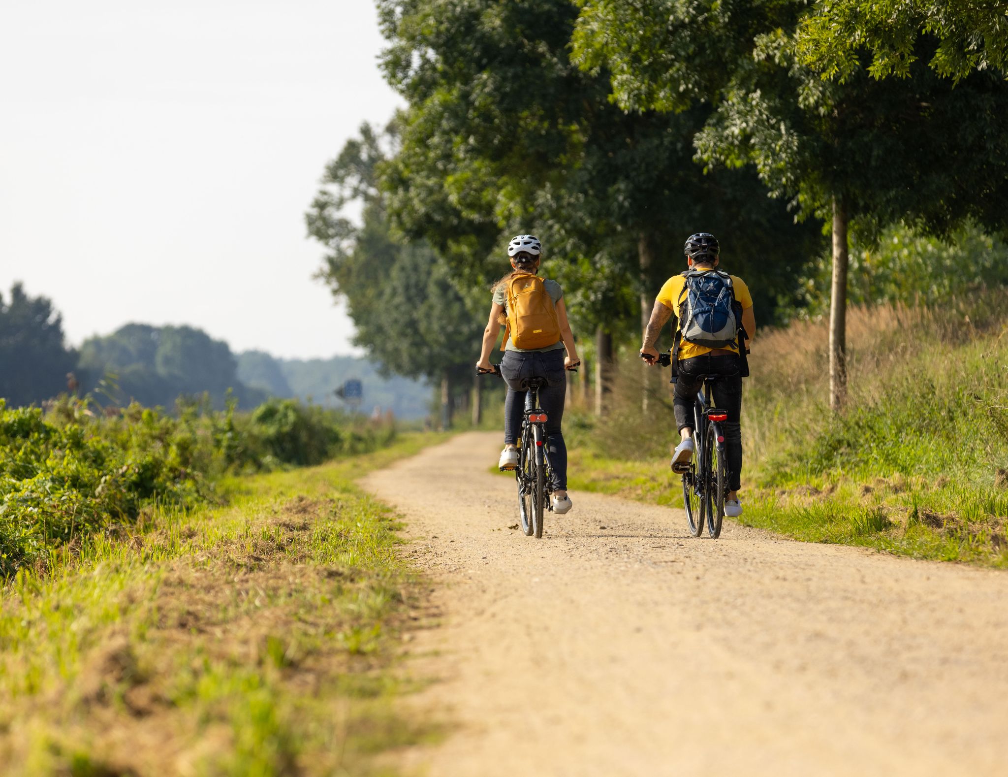
Lakes, medieval towns and forests – cycling in the Duchy of Lauenburg
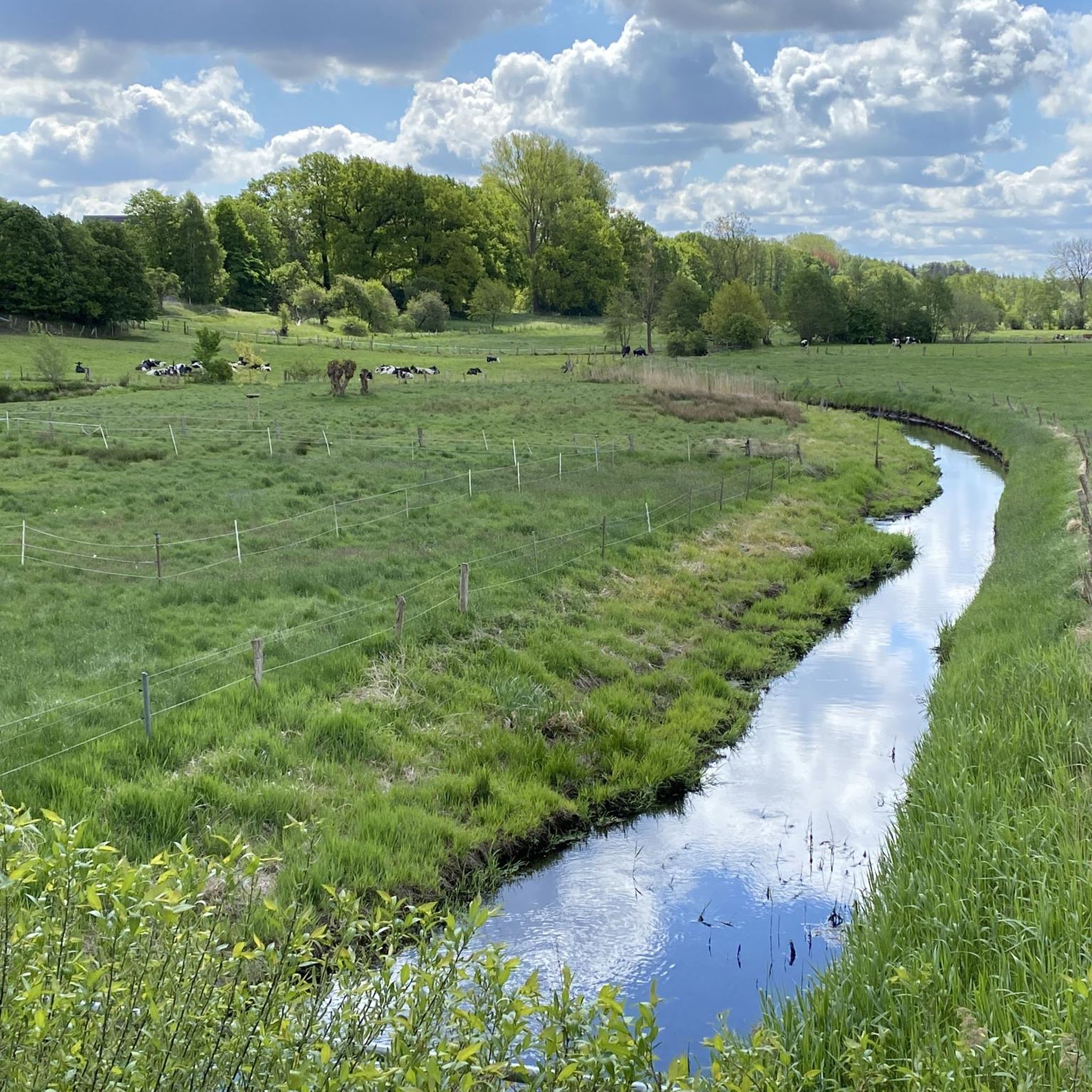
Cycling around Stecknitz-Delvenau-Niederung
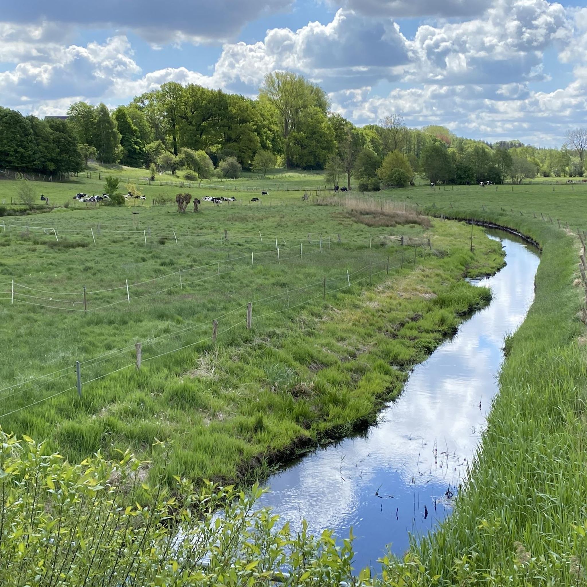
Road Cycling Routes around Stecknitz-Delvenau-Niederung
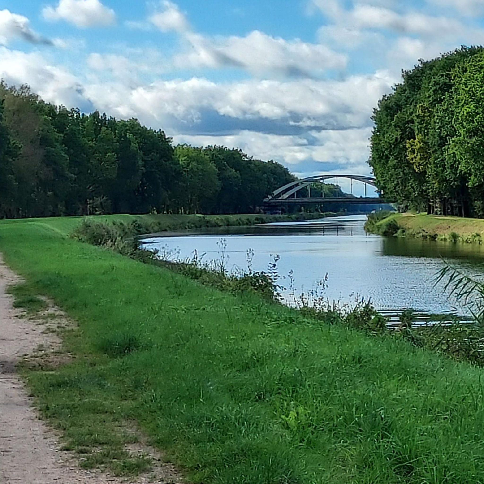
MTB Trails around Stecknitz-Delvenau-Niederung
Running Trails around Stecknitz-Delvenau-Niederung
Gravel biking around Stecknitz-Delvenau-Niederung
Other adventures around Stecknitz-Delvenau-Niederung

Tips from the Community

St. Mary's Church is an eye-catcher
0
1
Also an impressive building.
0
1

The "Lanzer See" campsite is located north of Lauenburg near Basedow and, in addition to Lake Lanzer See, also has access to the Elbe-Lübeck Canal. The "basic pitches" have views of the water 💦 and passing boats 🚤, offering direct access for walks or simply enjoying the evening sunset. 🌅 The restrooms are extremely clean and the staff is very friendly. The campsite is a manageable size, but the central part is populated by too many permanent campers who—if you're lucky—are not there. ☺️
1
0

What justifies this as a “highlight”?
0
0

The "Stecknitz-Delvenau-Niederung" nature reserve, covering 617 hectares, was designated in 2002 by the Schleswig-Holstein State Office for Nature and the Environment. It runs predominantly along the state border with Mecklenburg-Western Pomerania, along the "Green Belt," the former death strip of the inner-German border between the state border and the "Kolonnenweg" (Kolonnenweg). The "Green Belt" is part of the "Stecknitz-Delvenau" nature reserve of the same name on the Mecklenburg side, which has been protected since 1990 with an area of 249 hectares. Further information is available in the flyer from the Schleswig-Holstein State Office for Nature and the Environment or from the Hamburg Botanical Society. https://www.bund-sh.de/naturschutz/schutzgebiete-des-bund/stecknitz-delvenau-niederung/
2
0
As is the case along the entire Elbe-Lübeck Canal, here in Büchen there is an "endlessly long", beautiful hiking trail along the canal, which is also very suitable for cycling.
2
0

The small stream marked the border between East and West. A 5-kilometer-wide, impenetrable restricted area ran along the inner-German border, which was cleared and under constant surveillance by guards.
1
0
The bridge is only accessible to cars in one lane with traffic lights. For cyclists, however, a good, wide cycle path with beautiful views of the canal leads over the bridge.
2
0
Frequently Asked Questions
How many hiking trails are available in the Stecknitz-Delvenau-Niederung region?
There are over 640 hiking routes in the Stecknitz-Delvenau-Niederung, offering a wide range of options for all skill levels. This includes more than 380 easy trails, 230 moderate routes, and 20 more challenging hikes.
What kind of nature and wildlife can I expect to see while hiking?
The Stecknitz-Delvenau-Niederung is a biodiverse landscape shaped by the last ice age, featuring green meadows, reed beds, and small forest patches. It's part of the 'Grünes Band' and a habitat for approximately 170 butterfly and 20 dragonfly species. Birdwatchers can spot breeding birds like the red-backed shrike and kingfisher, while the Delvenau river is home to otters.
Are there any historical landmarks or attractions along the hiking trails?
Yes, the region is rich in history, particularly related to its waterways. You can explore the Elbe-Lübeck Canal, which largely follows the route of the historic Stecknitz Canal, Europe's first summit-level canal. Remnants like the Palmschleuse in Lauenburg and the Dückerschleuse near Witzeeze offer a glimpse into ancient inland navigation. The Büchen Canal Bridge is another notable highlight.
What are the main natural features of the Stecknitz-Delvenau-Niederung?
The region is characterized by the lowlands of the Delvenau river, a mosaic of green meadows, reed beds, and small forest patches. The Lauenburg Elbe Foreland Nature Reserve, a natural monument, offers expansive views and is part of the Elbe River Landscape biosphere reserve.
Are there family-friendly hiking options in Stecknitz-Delvenau-Niederung?
Yes, many paths in the region are easily accessible and suitable for families. The landscape's gentle topography and the presence of easy trails make it a great choice for walks with children. Consider routes like the Forellensee Campsite – Elbe-Lübeck Canal at Witzeeze loop from Witzeeze, which is an easy 2.8-mile path along the canal.
Are dogs allowed on the hiking trails?
Generally, dogs are welcome on trails in the Stecknitz-Delvenau-Niederung. However, as it is a protected landscape and nature reserve, it's important to keep dogs on a leash, especially in areas with sensitive wildlife or grazing animals, to protect the local flora and fauna.
Are there circular routes available for hiking?
Yes, many of the hiking opportunities in the Stecknitz-Delvenau-Niederung are designed as circular routes, allowing you to start and end at the same point. An example is the Bahnkanal Bridge at Lanzer See – Basedow Canal Bridge loop from Dalldorf, a moderate 5-mile trail.
When is the best time of year to go hiking in this region?
The Stecknitz-Delvenau-Niederung is beautiful year-round, but spring and autumn offer particularly pleasant conditions for hiking. In spring, you'll see the landscape come alive with blooming flora and active wildlife. Autumn brings vibrant colors to the small forest patches. Summer is also suitable, though some paths may be more exposed to the sun.
What kind of terrain can I expect on the trails?
The terrain in Stecknitz-Delvenau-Niederung is primarily characterized by the lowlands of the Delvenau river. You can expect mostly flat or gently rolling paths through green meadows, alongside reed beds, and along the banks of the Elbe-Lübeck Canal. Some areas may feature small forest patches and dry grasslands.
What do other hikers enjoy most about hiking in Stecknitz-Delvenau-Niederung?
The area is highly rated by the komoot community, with an average score of 4.6 stars from over 2300 reviews. Hikers often praise the serene landscapes, the excellent views of the Elbe-Lübeck Canal, and the well-maintained paths that offer a peaceful escape into nature.
Are there easy hikes suitable for beginners?
Absolutely. Over 380 of the routes in Stecknitz-Delvenau-Niederung are classified as easy, making them perfect for beginners or those looking for a relaxed walk. The gentle topography and well-marked paths along the canal, such as the Lanzer See Campsite – Dalldorf Canal Bridge loop from Basedow, provide an accessible introduction to the region's beauty.
Where can I find parking for the hiking trails?
Parking is generally available at various access points to the trails, particularly near popular starting locations or attractions like locks and canal bridges. Specific parking information can often be found on individual route descriptions on komoot.
Can I reach the hiking areas by public transport?
While some areas might be accessible by regional bus services or train stations in nearby towns, public transport options can be limited for direct access to all trailheads within the protected landscape. It's advisable to check local public transport schedules for specific starting points before your trip.
Most popular routes around Stecknitz-Delvenau-Niederung
Most popular attractions around Stecknitz-Delvenau-Niederung

Get inspired with the komoot mobile app


Explore more
Browse the best Hikes in other regions.
