The best walks and hikes around Castilblanco De Los Arroyos
4.0
(94)
471
hikers
31
hikes
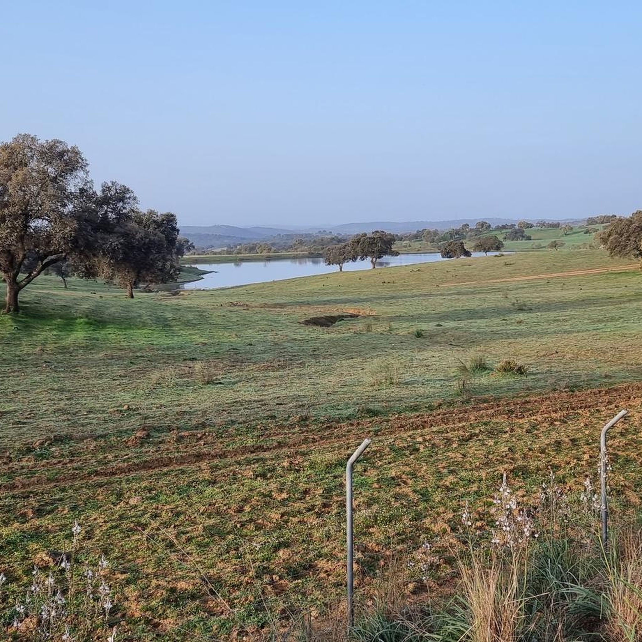
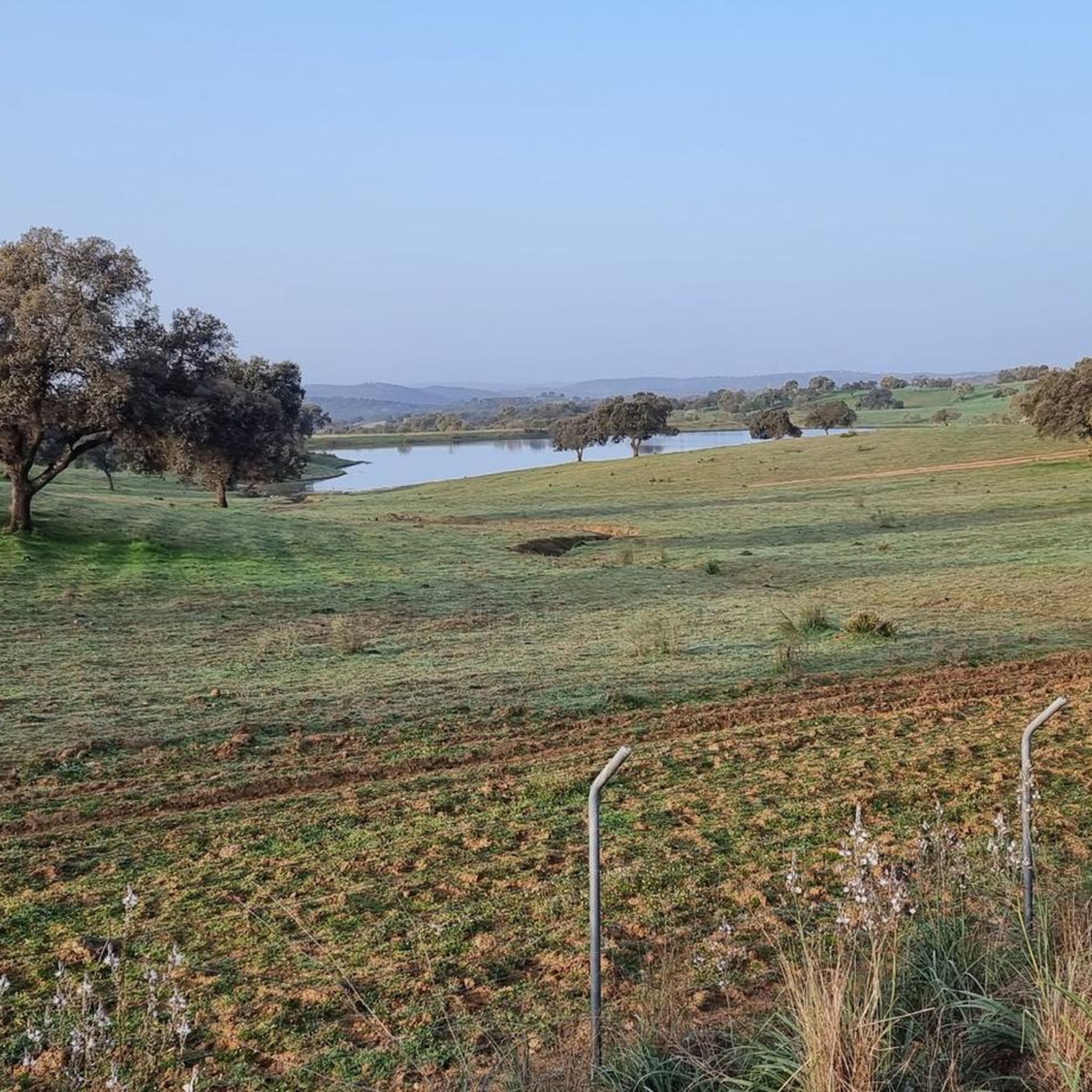
Hiking around Castilblanco De Los Arroyos offers diverse terrain within the Sierra Norte de Sevilla Natural Park, characterized by Mediterranean landscapes. The region features extensive dehesas, holm and cork oak groves, and numerous streams. Hikers will find a hilly environment where cultivated fields intersperse with grazing pastures, providing varied scenery.
Best hiking trails around Castilblanco De Los Arroyos
- The most popular hiking route is Ruta del Agua Trail loop from La Cantina, an easy 3.7 miles (6.0 km) trail that takes 1 hour 39 minutes to complete. This path is a local favorite, often followed by a stop at La Cantina.
- Another top favourite among local hikers is Hermitage of San Benito Abad loop from Urbanización Las Minas, a moderate 10.6 miles (17.1 km) path. This route leads to the shrine of the town's patron saint, offering a blend of natural beauty and cultural significance.
- Local hikers also love the Camino de Santiago – Vía de la Plata loop from Castilblanco de los Arroyos, a 5.5 miles (8.9 km) trail leading through historical landscapes, often completed in about 2 hours 21 minutes.
- Hiking around Castilblanco De Los Arroyos is defined by dehesas, oak groves, and a network of streams. The region offers a variety of routes suitable for different ability levels, from easy strolls to more challenging moderate trails.
- The routes in Castilblanco De Los Arroyos are highly rated by the komoot community with an average score of 3.9 stars from over 70 reviews. More than 400 hikers have used komoot to explore Castilblanco De Los Arroyos's varied terrain.
Last updated: July 9, 2026
4.7
(15)
54
hikers
13.7km
03:43
200m
200m
The Ruta del Agua de Guillena immerses you in a unique riverine and forest landscape, following the course of the Huelva and Cala rivers. It's a sensory experience rich in flora and fauna, where you can observe waterfowl and enjoy panoramic views from the Mirador de la Solana Recio. The trail, mostly on unpaved paths, connects you with nature and the history of Seville's water supply.
For this 13.7-kilometre hiking route, with an elevation gain of 196 metres and an estimated duration of 3 hours and 42 minutes, I recommend visiting in spring or autumn to enjoy pleasant temperatures. The difficulty is moderate, making it accessible for most hikers, including families. Be sure to wear appropriate footwear for the terrain and take advantage of the numerous rest and picnic areas along the way.
What makes the Ruta del Agua de Guillena special is its combination of ecological value and historical importance. Along the path, you'll see aqueducts that are part of Seville's water supply system, as well as the Embalse del Gergal reservoir. It's an opportunity to understand the connection between nature and human infrastructure, offering a different perspective on the region.
5.0
(1)
17
hikers
17.1km
04:28
130m
130m
Moderate hike. Good fitness required. Easily-accessible paths. Suitable for all skill levels.

Sign up for free
2.0
(1)
7
hikers
5.99km
01:39
100m
100m
Easy hike. Great for any fitness level. Easily-accessible paths. Suitable for all skill levels.
4.0
(2)
5
hikers
5.72km
01:34
90m
90m
Easy hike. Great for any fitness level. Easily-accessible paths. Suitable for all skill levels.
4.0
(2)
3
hikers
Easy hike. Great for any fitness level. Easily-accessible paths. Suitable for all skill levels.
Get access to more routes and recommendations from other explorers.
Sign up for free
Already have an account?
Our route recommendations are based on thousands of hikes, rides, and runs completed by other people on komoot.
Start today with a free account
Your next adventure awaits.
Login or Signup

Tips from the Community


Dam that forms the boundary with the Embalse de Gregal and from where you can see the lower part of the dam. The footbridge allows you to pass from one side of the stream and offers a good place to rest close to the Rivera de Huelva.
1
0
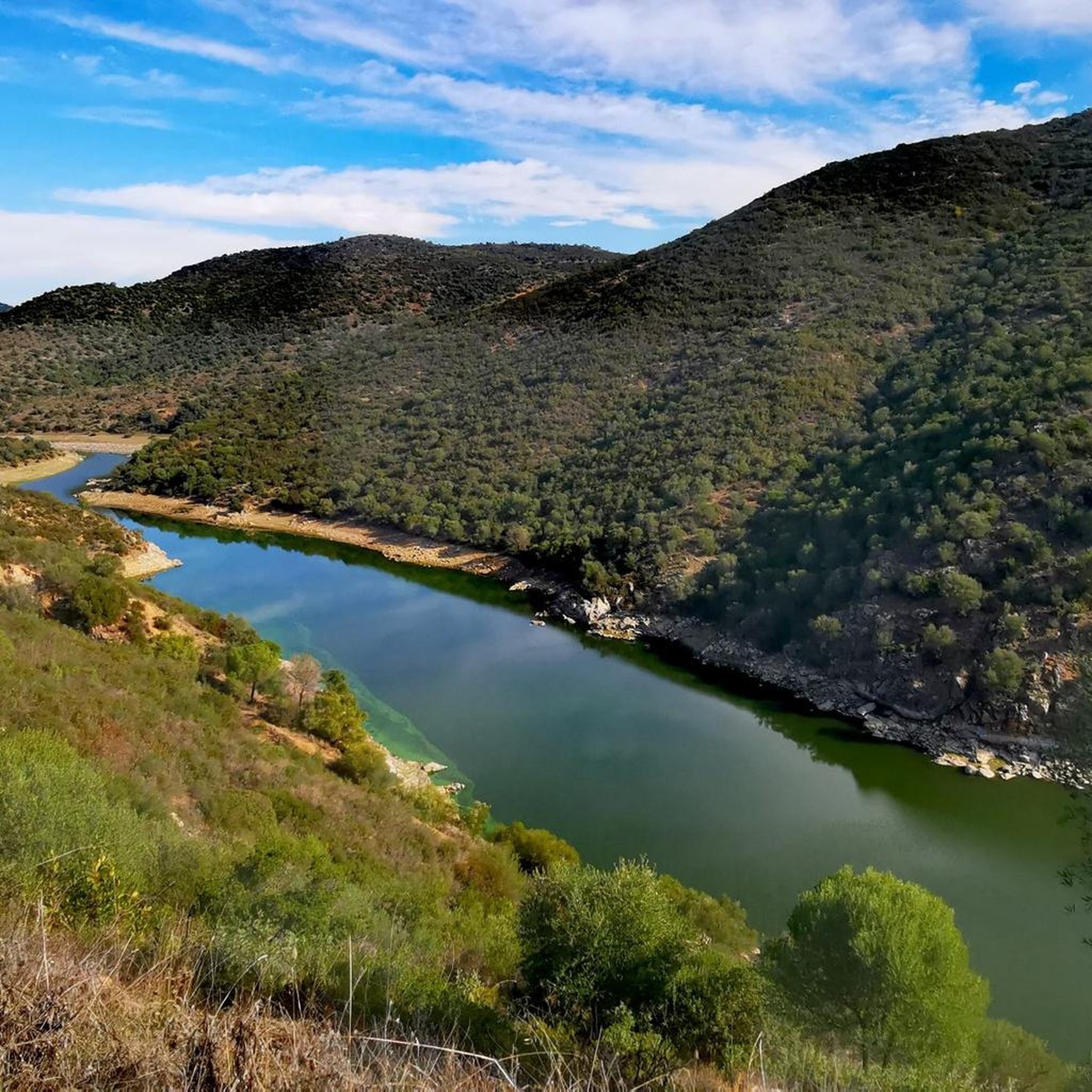
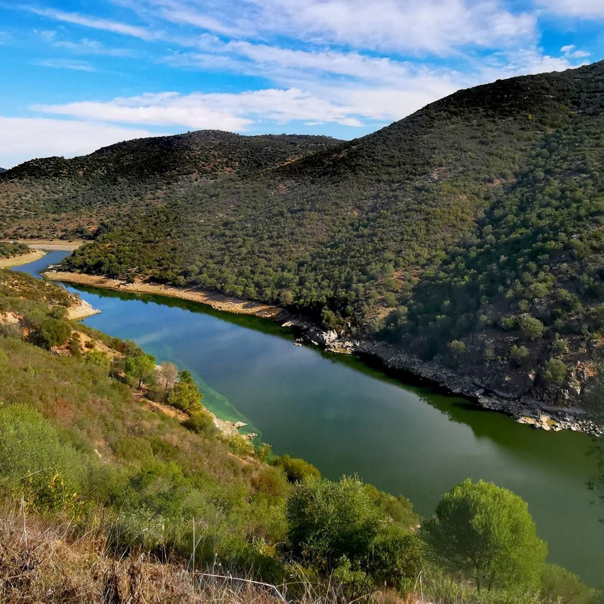
Dirt road that offers beautiful views of the Rivera de Huelva in one of the meanders that the river offers through the valley!
1
0

A bar with good views. The perfect place to rest or have a drink during an excursion.
1
0

The mythical bar where hikers eat after completing the Ruta del Agua, a beautiful path very close to Seville. At lunchtime, it is worth asking Paco - the owner of the place - for advice.
3
0

Nature always has its charms, but I wouldn't do this hike a second time.
1
0

Beautiful views, viewpoint at 132 Mts. , km on the route 46.8, km on the restricted section 8.8
0
1
Frequently Asked Questions
How many hiking trails are available in Castilblanco de los Arroyos?
Castilblanco de los Arroyos offers a diverse network of over 20 hiking trails, catering to various skill levels. These routes explore the unique Mediterranean landscapes of the Sierra Norte de Sevilla Natural Park.
What kind of terrain can I expect on hikes in Castilblanco de los Arroyos?
The terrain in Castilblanco de los Arroyos is characterized by hilly environments, extensive dehesas (Mediterranean parkland), and groves of holm and cork oaks. You'll also encounter numerous small streams and cultivated fields, offering varied scenery throughout your hike.
Are there any easy or beginner-friendly hiking routes?
Yes, there are several easy routes suitable for beginners. For example, the Ruta del Agua Trail loop from La Cantina is an easy 3.7-mile (6.0 km) path, popular for its scenic beauty and often combined with a stop at the local bar La Cantina.
What natural features or landmarks can I see along the hiking trails?
Hikers can discover several notable natural features and landmarks. Highlights include the Cerro del Calvario Viewpoint, offering spectacular views, and the El Chorro Waterfall. You can also enjoy panoramic vistas from the View of the Dehesa Valley.
Are there any circular hiking routes in the area?
Yes, many routes are designed as loops. A popular option is the Camino de Santiago – Vía de la Plata loop from Castilblanco de los Arroyos, which is a moderate 5.5-mile (8.9 km) trail through historical landscapes.
Can I hike with my dog in Castilblanco de los Arroyos?
While specific dog-friendly regulations can vary, the natural park environment generally welcomes dogs on trails, especially if kept on a leash. Always ensure to respect local wildlife and clean up after your pet. The diverse landscapes provide ample space for you and your dog to enjoy.
What is the best time of year to go hiking in Castilblanco de los Arroyos?
The best time to hike is typically during the cooler months, from autumn through spring (October to May), when temperatures are more moderate. Summers can be very hot, making early mornings or late afternoons the only comfortable times for hiking.
Are there any historical routes or pilgrimage paths?
Castilblanco de los Arroyos is a significant point on the historic Vía de la Plata (Silver Route) and the Way of Saint James from Seville. You can experience a section of this ancient path with the Camino de Santiago – Vía de la Plata loop from Castilblanco de los Arroyos.
What are the typical durations for hikes in this region?
Hikes in Castilblanco de los Arroyos vary in length. Easy routes like the Ruta del Agua Trail loop can take around 1 hour 40 minutes, while moderate trails such as the Hermitage of San Benito Abad loop might take closer to 4.5 hours to complete.
Are there places to eat or drink along the trails or in nearby towns?
Yes, the region offers options for refreshments. The Ruta del Agua Trail is often followed by a stop at the local bar La Cantina. Additionally, the settlement of Las Pajanosas provides convenient services for travelers, making it an ideal spot for a break.
What do other hikers enjoy most about hiking in Castilblanco de los Arroyos?
The area is highly rated by the komoot community, with an average score of 3.9 stars from over 70 reviews. Hikers often praise the diverse landscapes, the tranquility of the dehesas and oak groves, and the well-maintained paths that lead to historical sites and natural viewpoints.
Are there any routes that lead to religious sites?
Yes, the area features trails leading to significant religious sites. The Hermitage of San Benito Abad loop from Urbanización Las Minas is a popular moderate trail that culminates at the shrine of the town's patron saint, San Benito Abad.
Most popular routes around Castilblanco De Los Arroyos
Most popular attractions around Castilblanco De Los Arroyos

Get inspired with the komoot mobile app


Explore more
Browse the best Hikes in other regions.
