The best running trails around Valle De Villaverde
5.0
(69)
436
runners
38
runs
Jogging around Valle De Villaverde offers routes through a landscape characterized by significant elevation changes, including hills and summit areas. The region features varied terrain, from challenging ascents to more moderate paths, suitable for different running preferences. Many routes provide views of the surrounding natural environment, with some passing by historical elements like old bridges. The area's geography provides a diverse setting for outdoor running activities.
Best jogging routes around Valle De Villaverde
- The most popular jogging route is Los Jorrios Trail (PR-BI 120), a 8.6 miles (13.8 km) trail that takes 2 hours 7 minutes to complete. This challenging route features significant elevation gain.
- Another top favourite among local runners is Kolitza Summit Shelter – Cima Gueci loop from La Calzada, a difficult 16.2 miles (26.1 km) path. This route offers panoramic views from the summit area.
- Local runners also love the Kolitza Parking – Kolitza Summit Shelter loop from Ermita de San Isidro, a 7.1 miles (11.3 km) trail leading through hilly terrain, often completed in about 1 hour 37 minutes.
- Jogging around Valle De Villaverde is defined by varied terrain, including hills, summit areas, and paths near historical structures. The network offers options for different ability levels, from moderate runs to challenging running trails.
- The routes in Valle De Villaverde are highly rated by the komoot community with an average score of 4.9 stars from over 60 reviews. More than 450 runners have used komoot to explore Valle De Villaverde's varied terrain.
Last updated: July 15, 2026
4
runners
13.8km
02:08
780m
780m
Hard run. Very good fitness required. Mostly accessible paths. Some sure footedness required.
5.0
(6)
70
runners
26.1km
03:35
1,040m
1,040m
Hard run. Very good fitness required. Mostly paved surfaces. Suitable for all skill levels.

Sign up for free
5.0
(6)
29
runners
11.4km
01:37
550m
550m
Hard run. Very good fitness required. Mostly paved surfaces. Suitable for all skill levels.
20
runners
13.7km
01:25
80m
80m
Moderate run. Good fitness required. Mostly paved surfaces. Suitable for all skill levels.
18
runners
15.3km
01:39
240m
240m
Hard run. Very good fitness required. Mostly paved surfaces. Suitable for all skill levels.
Get access to more routes and recommendations from other explorers.
Sign up for free
Already have an account?
Our route recommendations are based on thousands of hikes, rides, and runs completed by other people on komoot.
Start today with a free account
Your next adventure awaits.
Login or Signup
Tips from the Community

The bridge was built in the 11th century and served as an important crossing point on the old road to Castile. It crosses the Cadagua River and is one of the city's landmarks. The bridge consists of three arches and has a Gothic tower added in the 15th century. This tower was formerly used to collect tolls.
1
0
The church is dedicated to Saint Severinus of Noricum, the patron saint of prisoners. It was built in the 15th century in the Gothic style. The church is located in the main square of Balmaseda.
1
0

Robo-leg ramp with inclination of up to 40%
0
0

The best-known image of Balmaseda, and it is right. A pleasure to go through.
3
0
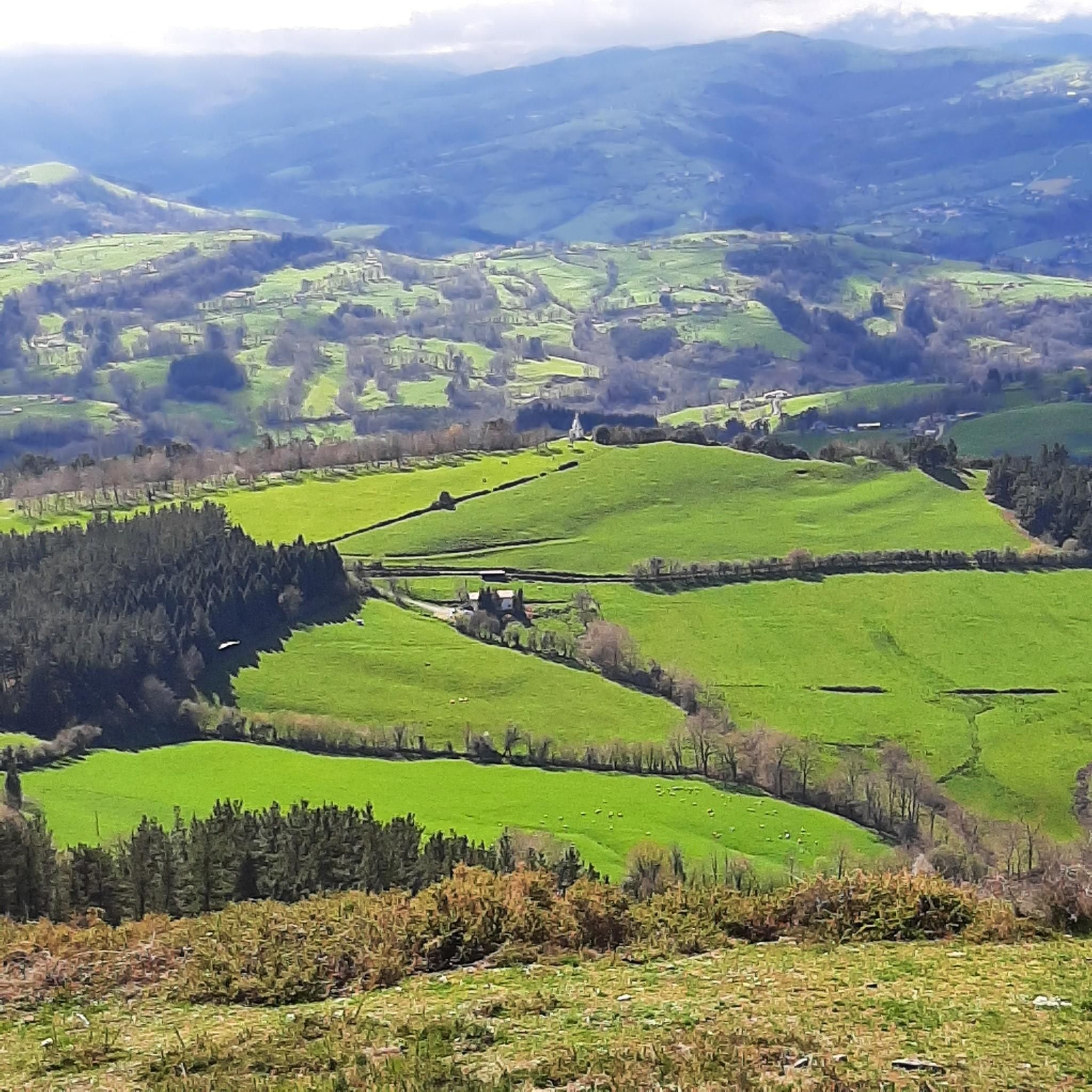
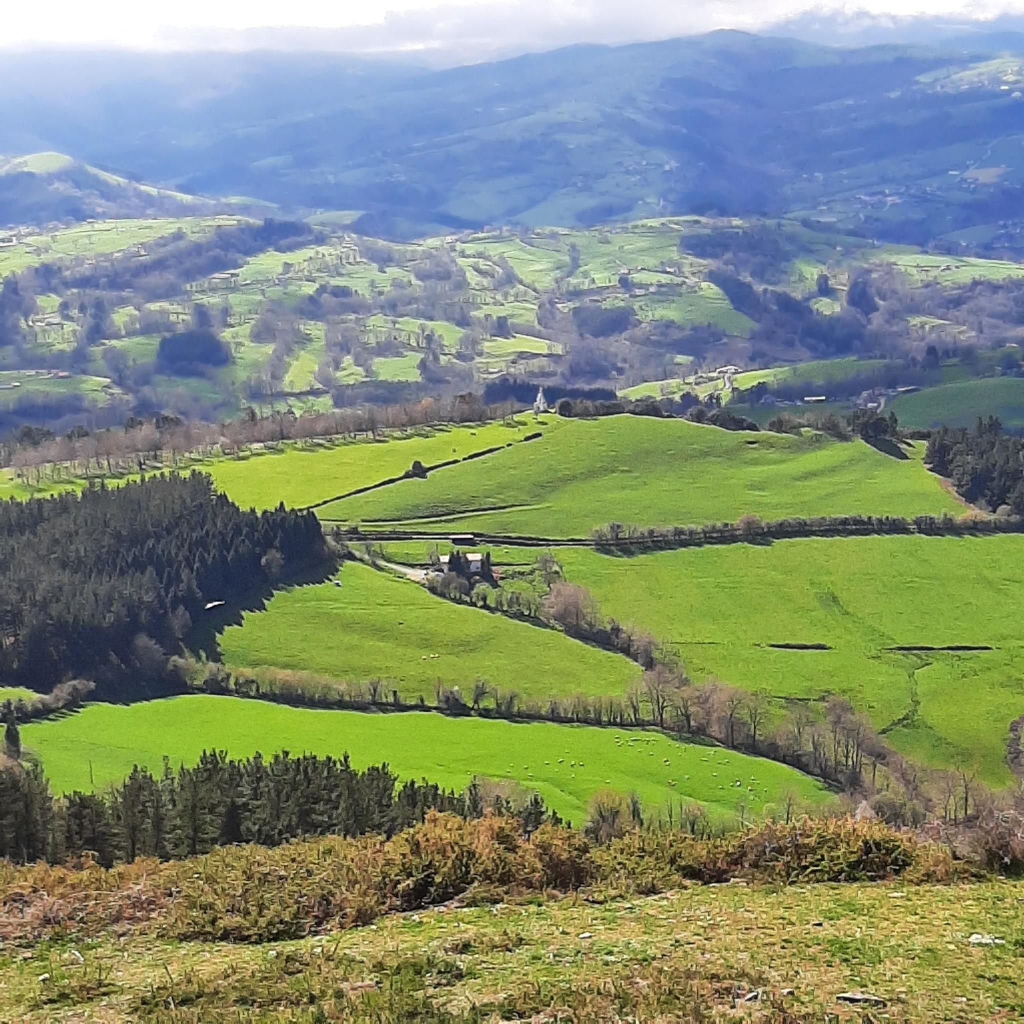
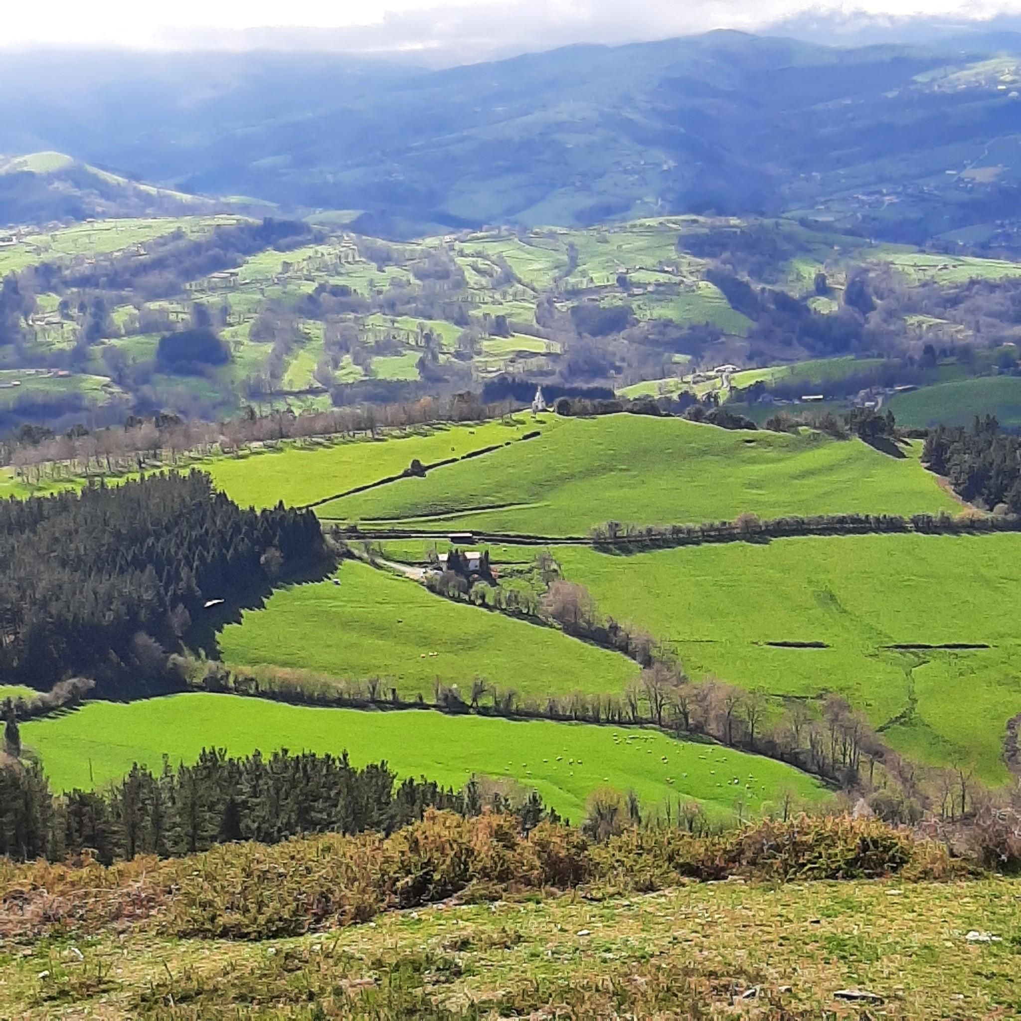
Spectacular hermitage at the very top of Kolitza.
3
0
A little beyond the Pandozales neighborhood, in Balmaseda, is the parking lot at the beginning of the route to Kolitza.
2
0
Hill above Balmaseda with ruins of the old Villa castle
0
0

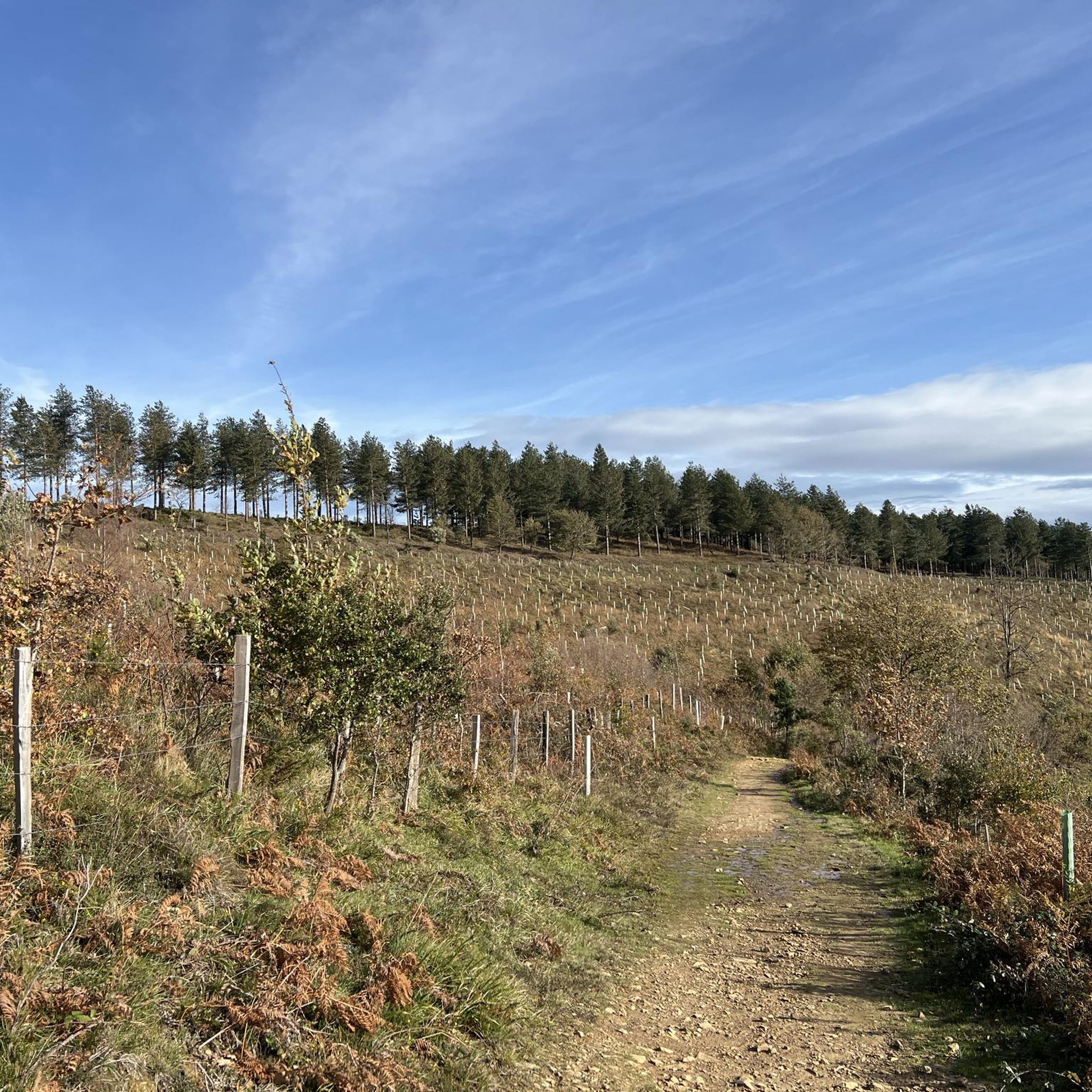
There are Corba or milestones from the pass that help us climb the correct path.
0
0
Frequently Asked Questions
How many running routes are available in Valle De Villaverde?
Valle De Villaverde offers a diverse network of over 40 running routes. These trails cater to various fitness levels, with options ranging from moderate paths to more challenging ascents through hilly and summit areas.
Are there any easy running trails suitable for beginners in Valle De Villaverde?
Yes, for those seeking a less strenuous run, there are 3 easy running routes available in Valle De Villaverde. These trails provide a gentler introduction to the region's varied terrain.
What kind of terrain can I expect on the jogging routes in Valle De Villaverde?
The running routes in Valle De Villaverde are characterized by significant elevation changes, including hills and summit areas. You'll encounter varied terrain, from challenging ascents to more moderate paths, often providing scenic views of the natural environment.
Are there any circular running routes in the area?
Yes, many of the running routes in Valle De Villaverde are designed as loops. For example, the Kolitza Summit Shelter – Cima Gueci loop from La Calzada and the Kolitza Parking – Kolitza Summit Shelter loop from Ermita de San Isidro are popular circular options, offering a complete experience without retracing your steps.
What do other runners enjoy most about jogging in Valle De Villaverde?
The komoot community highly rates the running experience in Valle De Villaverde, with an average score of 4.9 stars from over 60 reviews. Runners often praise the varied terrain, the challenging ascents, and the panoramic views from summit areas. The presence of historical elements, such as old bridges, also adds to the appeal.
Are there any long-distance running options in Valle De Villaverde?
For runners looking for longer distances, Valle De Villaverde has several options. The Kolitza Summit Shelter – Cima Gueci loop from La Calzada is a challenging 16.2-mile (26.1 km) path, offering a substantial workout with panoramic views.
Can I find parking near the trailheads for running routes?
While specific parking details vary by route, some trails, like the Kolitza Parking – Kolitza Summit Shelter loop from Ermita de San Isidro, explicitly mention parking facilities at their starting points, such as Kolitza Parking. It's advisable to check individual route details for the most accurate parking information.
What interesting landmarks or attractions can I see while running in Valle De Villaverde?
Many running routes in Valle De Villaverde pass by interesting landmarks. You might encounter historical structures like the Old Bridge of Balmaseda or religious buildings such as the Church of San Severino. The region also features natural highlights like Monte Ventoso Summit and Burgüeno Summit, offering stunning views.
Are there any challenging running trails for experienced runners?
Yes, Valle De Villaverde is well-suited for experienced runners seeking a challenge. A significant portion of the routes, 28 out of 42, are classified as difficult. Trails like the Los Jorrios Trail (PR-BI 120) feature significant elevation gain over 8.6 miles (13.8 km), providing a demanding experience.
What is the best time of year to go running in Valle De Villaverde?
Valle De Villaverde's varied terrain makes it suitable for running throughout much of the year. However, due to its significant elevation changes and potential for summit areas, spring and autumn generally offer the most pleasant conditions with milder temperatures. Always check local weather forecasts, especially when planning runs in higher elevations or during winter months.
Are the running trails in Valle De Villaverde suitable for families?
While many routes feature challenging terrain, there are also moderate and easy options that could be suitable for families, depending on their fitness levels and the age of children. It's recommended to choose one of the 3 easy routes or 11 moderate routes, and review the specific trail details for distance and elevation before heading out with family.
Can I bring my dog on the running routes in Valle De Villaverde?
Generally, dogs are welcome on many trails in natural areas, but it's always best to check specific local regulations or signage for each route. When running with your dog, ensure they are well-behaved, kept on a leash where required, and that you carry waste bags to maintain the cleanliness of the trails.
Most popular attractions around Valle De Villaverde

Get inspired with the komoot mobile app


Explore more
Browse the best Running Trails & Routes in other regions.
