The best running trails around Giebelmoor
4.5
(133)
2,255
runners
249
runs
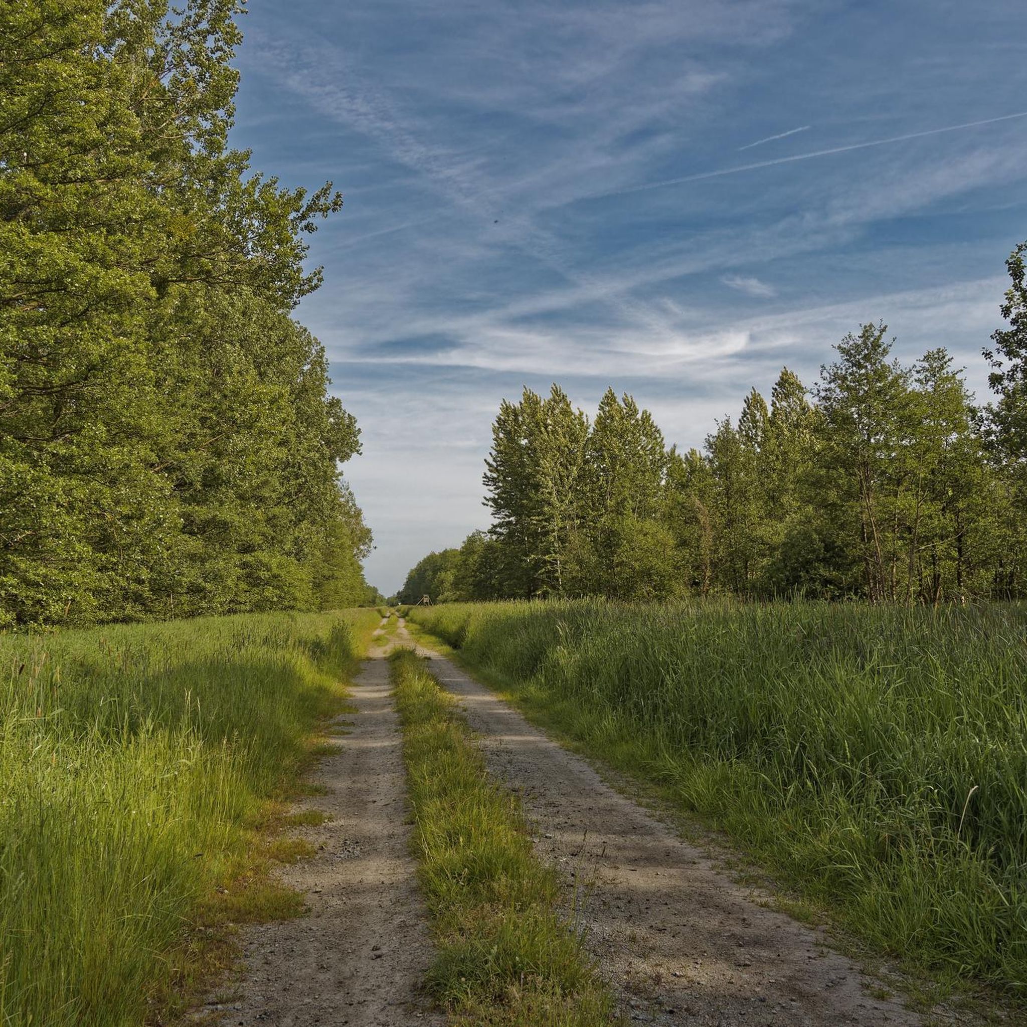
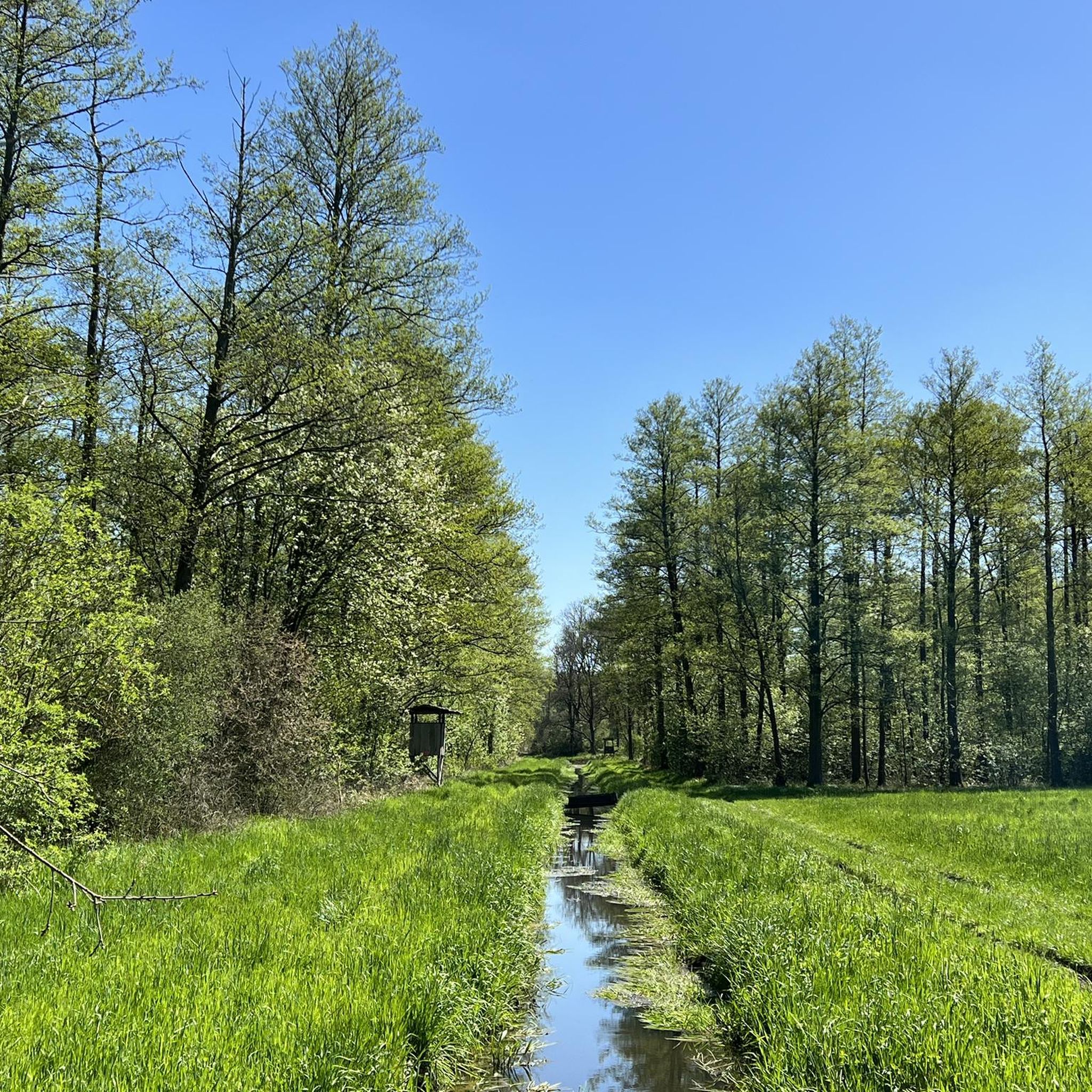
Jogging around Giebelmoor offers a unique experience within a distinctive low moor environment in Lower Saxony, Germany. This nature reserve, covering approximately 670 hectares, is characterized by wetland ecosystems, diverse forest types including alder swamp and oak mixed forests, and numerous drainage ditches. The terrain provides varied running surfaces amidst its natural features.
Best jogging routes around Giebelmoor
- The most popular jogging route is Running loop from Böckwitz, a 5.2 miles (8.3 km) trail that takes 54 minutes to…
Last updated: July 11, 2026
3
runners
8.31km
00:54
10m
10m
Moderate run. Good fitness required. Mostly paved surfaces. Suitable for all skill levels.
10
runners
8.69km
00:54
20m
20m
Moderate run. Good fitness required. Mostly paved surfaces. Suitable for all skill levels.

Sign up for free
9
runners
11.5km
01:11
20m
20m
Moderate run. Good fitness required. Mostly paved surfaces. Suitable for all skill levels.
5.0
(1)
6
runners
12.4km
01:17
30m
30m
Moderate run. Good fitness required. Mostly paved surfaces. Suitable for all skill levels.
5.0
(1)
6
runners
4.90km
00:30
10m
10m
Easy run. Great for any fitness level. Mostly paved surfaces. Suitable for all skill levels.
Get access to more routes and recommendations from other explorers.
Sign up for free
Already have an account?
Our route recommendations are based on thousands of hikes, rides, and runs completed by other people on komoot.
Start today with a free account
Your next adventure awaits.
Login or Signup

Tips from the Community

The Wendschott Canal Bridge (officially often referred to as Bridge 440) is a distinctive structure in Wolfsburg that crosses the Mittelland Canal. It is of particular importance for walkers, cyclists, and tourists, as it represents a central connection between the Wendschott district and the recreational area around the Allersee.
0
0
The canal was the decisive reason why the Volkswagen factory was built precisely here at the end of the 1930s. It enabled the cost-effective transport of coal for its own power plant, as well as the shipment of vehicles and components. Even today, the VW power plant with its four distinctive chimneys directly on the canal bank shapes the city's skyline.
0
0
The former inner-German border near Böckwitz (Saxony-Anhalt) and the directly neighboring Zicherie (Lower Saxony) is considered one of the most striking symbols of the German division. Here the border did not run through forests or fields, but through the middle of an established village structure.
0
0

The restaurant is a nice destination for a bike ride along the Mittelland Canal.
1
0
The Drömling is a sparsely populated lowland area of around 340 km² on the border between Lower Saxony and Saxony-Anhalt. Today, the lowland with the Mittelland Canal and the rivers Aller and Ohre is a refuge for rare or endangered animal and plant species. It consists mostly of nature and landscape conservation areas. Nearby towns are Klötze, Oebisfelde-Weferlingen, Gardelegen and Wolfsburg.
0
0

On the left of the picture you can see the column path of the GDR border troops. In the middle of the picture is the 6m wide lane safety strip. A raked area where tracks were immediately visible.
0
0
The vehicle barrier was intended to prevent vehicles from breaking through the border. As a rule, the rear side of the trench was reinforced with concrete slabs.
0
0
Here you can see how the GDR border fortifications were tightened over time.
0
0
Frequently Asked Questions
How many running routes are available in the Giebelmoor area?
There are over 250 running routes available around Giebelmoor, offering a wide range of options for joggers of all levels. The komoot community has explored these trails extensively, with more than 2000 runners using komoot to discover the area.
Are there easy running paths suitable for beginners or families in Giebelmoor?
Yes, Giebelmoor offers several easy running paths perfect for beginners or families. There are over 40 routes classified as easy, providing gentle terrain through the unique wetland landscape. A good example is Running loop from Samtgemeinde Brome, which is just under 5 km long.
What kind of terrain can I expect on the jogging trails in Giebelmoor?
The jogging trails in Giebelmoor feature a distinctive low moor environment. You can expect varied terrain, including paths through alder swamp, birch woodland, and oak mixed forests. The area is also crisscrossed by numerous drainage ditches, adding to the unique landscape. Due to its wetland nature, paths can sometimes be wet or slippery, so appropriate footwear is recommended.
Can I bring my dog on the running routes in Giebelmoor?
Giebelmoor is a nature reserve and a protected area. While many natural areas in Germany allow dogs on trails, it's generally advisable to keep them on a leash to protect the diverse wildlife and sensitive ecosystems, especially in a wetland environment like Giebelmoor. Always check local signage for specific regulations regarding dogs.
Are there any longer or more challenging running routes for experienced runners?
Absolutely. For experienced runners looking for a greater challenge, Giebelmoor offers over 35 difficult routes and nearly 180 moderate routes. These trails often cover longer distances or feature more varied terrain. An example of a moderate route is the Wendschott Canal Bridge loop from Rühen, which is over 12 km long.
What do other runners say about the trails in Giebelmoor?
The running routes in Giebelmoor are highly regarded by the komoot community, holding an average rating of 4.5 stars from over 100 reviews. Runners often praise the unique natural beauty of the wetland ecosystems and the diverse forest types that make for a scenic and engaging experience.
Are the running routes in Giebelmoor typically circular?
Many of the running routes in Giebelmoor are designed as circular loops, allowing you to start and finish at the same point. This is convenient for parking and accessibility. For instance, the popular Running loop from Rühen is a circular path offering views of the low moor environment.
What is the best season to go jogging in Giebelmoor?
Giebelmoor offers a unique experience year-round. However, due to its wetland nature, spring and autumn can be particularly beautiful with vibrant flora and changing colors, though paths might be wetter. Summer provides warmer, drier conditions. Winter jogging is also possible, but be prepared for potentially icy or muddy conditions and shorter daylight hours.
Are there any specific natural features or landmarks to look out for while running?
While jogging in Giebelmoor, you'll encounter a rich tapestry of natural features. The reserve is known for its distinctive low moor environment, characterized by alder swamp, birch woodland, and oak mixed forests. Keep an eye out for the numerous drainage ditches that crisscross the terrain, and the areas of old-growth forest with abundant deadwood, which are vital for the region's biodiversity.
Is there parking available near the running trailheads in Giebelmoor?
While specific parking information for every trailhead isn't detailed, it is generally possible to find parking in the villages and towns surrounding Giebelmoor, such as Böckwitz or Rühen, which serve as common starting points for many routes. Always check local signage for designated parking areas.
How long does it typically take to complete a running route in Giebelmoor?
The duration varies significantly depending on the route's length and your pace. For example, the Running loop from Böckwitz, which is 8.3 km, typically takes around 54 minutes. Longer routes, like the Mittelland Canal Bridge – On the Mittelland Canal loop from Rühen (11.5 km), can take over an hour.
Most popular routes around Giebelmoor

Get inspired with the komoot mobile app


Explore more
Browse the best Running Trails & Routes in other regions.
