The best walks and hikes around Acedera
4.1
(5)
26
hikers
9
hikes
Hiking around Acedera offers routes primarily characterized by the flat terrain of Extremadura, often following the Vía Verde Vegas del Guadiana. The landscape features a mix of agricultural areas, wetlands, and dehesas, providing diverse natural environments. Hikers can expect paths along small rivers and streams, with opportunities to observe local birdlife. The region's topography generally presents accessible trails suitable for various fitness levels.
Best hiking trails around Acedera
- The most popular hiking route is Orellana la Vieja from Playa de…
Last updated: July 11, 2026
2
hikers
Moderate hike. Good fitness required. Easily-accessible paths. Suitable for all skill levels.
4.7
(3)
5
hikers
8.92km
02:37
250m
240m
Moderate hike. Good fitness required. Easily-accessible paths. Suitable for all skill levels.

Sign up for free
Hard hike. Very good fitness required. Easily-accessible paths. Suitable for all skill levels.
8
hikers
5.04km
01:17
10m
10m
Easy hike. Great for any fitness level. Easily-accessible paths. Suitable for all skill levels.
3.5
(2)
5
hikers
20.9km
05:48
390m
390m
Hard hike. Very good fitness required. Easily-accessible paths. Suitable for all skill levels.
Get access to more routes and recommendations from other explorers.
Sign up for free
Already have an account?
Our route recommendations are based on thousands of hikes, rides, and runs completed by other people on komoot.
Start today with a free account
Your next adventure awaits.
Login or Signup
Popular around Acedera
Tips from the Community

The Camino de las Tres Cruces in Navalvillar de Pela is a very attractive hiking route within the La Siberia Extremeña region, ideal for enjoying natural landscapes, panoramic views and local heritage.
2
0
It's a historic bridge located over the Guadiana River, near the pre-Roman ruins of Lacimurga. It's part of the Senda de los Embalses (Reservoirs Path), a popular hiking and nature trail.
5
0

A picturesque bridge over the Orellana reservoir, which ends with a tunnel excavated in the rock. Beautiful views.
1
1

Orellana de la Sierra is a town that is located in the middle of the Sierra de Pela, covered by its northern slope but elevated above the rest of the land. It is a good population to see the whole of the Orellana Reservoir.
0
1
Navalvillar de Pela is the gateway to the region of La Siberia on the route that comes from Villanueva de la Serena. In ancient times it belonged to Trujillo, in Cáceres, and its inhabitants are known as 'peleños'.
23
0
Mirador de Las Torretas is located near the Cerro de las Tres Cruces peak and the town of Navalvillar de Pela
11
0
Roman Villa of Lacimurga. These ruins are located in the place known as Cogolludo. It is a very pleasant place, next to the Guadiana river.
13
0
This town, popularly known as Orellanita, is connected, according to some legends, with Roman times, specifically with a Roman legion called Aurelia, supposedly based in this place, from which the place name Aureliana would have arisen and, from it, Orellana. In its medieval times it is located in the population privilege granted by Enrique II to Alvar García Bejarano, owner of the castle of the Bejaranos and who would change his title to that of Orellana.
13
0
Frequently Asked Questions
What is the general difficulty of hiking trails around Acedera?
Hiking around Acedera offers a range of difficulties, with a significant number of accessible options. Out of the 10 available routes, 5 are considered easy, 3 are moderate, and 2 are difficult. This variety ensures there are suitable paths for different fitness levels, from leisurely strolls to more challenging excursions.
What natural features or landmarks can I expect to see on hikes near Acedera?
Hikes near Acedera are rich in natural and cultural points of interest. You can explore the unique landscapes of the Vía Verde Vegas del Guadiana, which features diverse environments from flat rice fields to wooded pastureland (dehesas). Along the way, you might encounter the Birdwatching viewpoint and observe Stork nests. The greenway also includes sections along the Zújar River, offering scenic riverside views.
Is Acedera a good place for birdwatching while hiking?
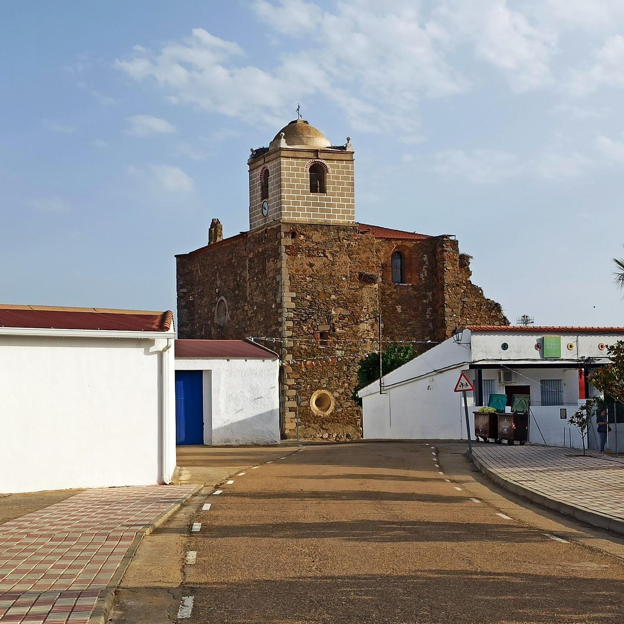
Yes, Acedera and the surrounding Extremadura region are renowned for their exceptional birdwatching opportunities. The wetlands and agricultural areas along the Vía Verde Vegas del Guadiana attract a wide variety of bird species. Hikers can spot storks, egrets, bee-eaters, plovers, and ibises. During winter, the rice fields are a crucial stopover for large concentrations of common cranes. The old church in Acedera itself is known for nesting White Storks and Lesser Kestrels.
Are there family-friendly hiking options in Acedera?
Absolutely. The flat terrain and the accessible nature of the Vía Verde Vegas del Guadiana make many trails around Acedera suitable for families. These paths are generally easy to navigate, offering a pleasant experience for all ages to enjoy the natural surroundings and observe wildlife.
Can I bring my dog on hikes around Acedera?
While specific regulations for every trail may vary, many of the paths around Acedera, especially those along the Vía Verde, are generally dog-friendly. It's always recommended to keep your dog on a leash, particularly in areas with wildlife or agricultural activity, and to carry water for both yourself and your pet.
Are there any circular hiking routes available?
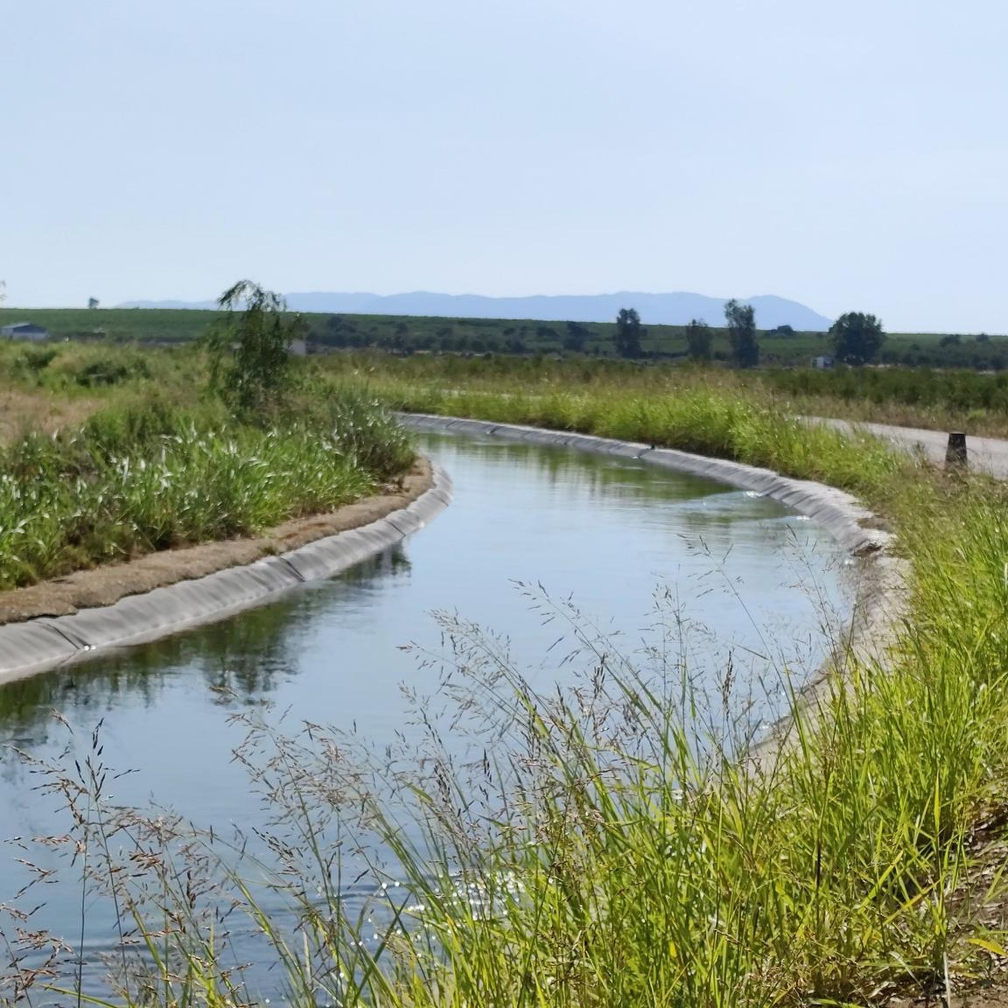
Yes, there are several circular hiking routes. For instance, the Orellana la Vieja from Playa de las Casetas – circular by the Embalse and Canal de Orellana is a moderate 16.5 km loop. Another option is the Dehesa de La Moheda Alta loop from Dehesa de La Moheda Alta, an easy 5.0 km trail that takes you through dehesa landscapes.
When is the best time of year to go hiking in Acedera?
The best time to hike in Acedera is typically during the spring and autumn months. The weather is milder and more comfortable for outdoor activities. Spring brings lush greenery and active birdlife, while autumn offers pleasant temperatures. Summers can be very hot, and winters, while mild, might see more rain, though they are excellent for observing migrating cranes.
What kind of terrain can I expect on hikes in Acedera?
The terrain around Acedera is primarily flat, characterized by the former railway line of the Vía Verde Vegas del Guadiana. You'll encounter a mix of agricultural areas, particularly rice fields, as well as wetlands and unique wooded pastureland known as 'dehesas'. Paths often follow small rivers and streams, providing a varied and generally easy-to-navigate landscape.
What do other hikers say about the trails in Acedera?
The hiking trails in Acedera are highly rated by the komoot community, with an average score of 4.1 stars from over 5 reviews. Hikers often praise the accessible nature of the trails, the opportunities for birdwatching, and the tranquil settings of the Vía Verde and dehesa landscapes.
How many hiking trails are available around Acedera?
There are 10 hiking trails available around Acedera, offering a good selection for various preferences and fitness levels. These routes explore the region's unique blend of greenways, wetlands, and dehesas.
Are there any trails that follow the Vía Verde Vegas del Guadiana?
Yes, the Vía Verde Vegas del Guadiana is a central feature of hiking in Acedera. Many routes utilize sections of this former railway line, which has been transformed into a greenway. This provides wonderfully navigable and consistently flat paths, perfect for experiencing the region's agricultural areas, wetlands, and birdlife.
Are there options for both short and longer hikes?
Yes, Acedera offers a good range of hike lengths. For shorter, easier options, you can explore trails like the Dehesa de La Moheda Alta loop from Dehesa de La Moheda Alta, which is 5.0 km. For those seeking longer adventures, routes such as Puente Cogolludo from Orellana de la Sierra extend to nearly 20 km.
Most popular routes around Acedera
Most popular attractions around Acedera

Get inspired with the komoot mobile app


Explore more
Browse the best Hikes in other regions.
