The best running trails around Lecrín
4.0
(23)
1,063
runners
102
runs
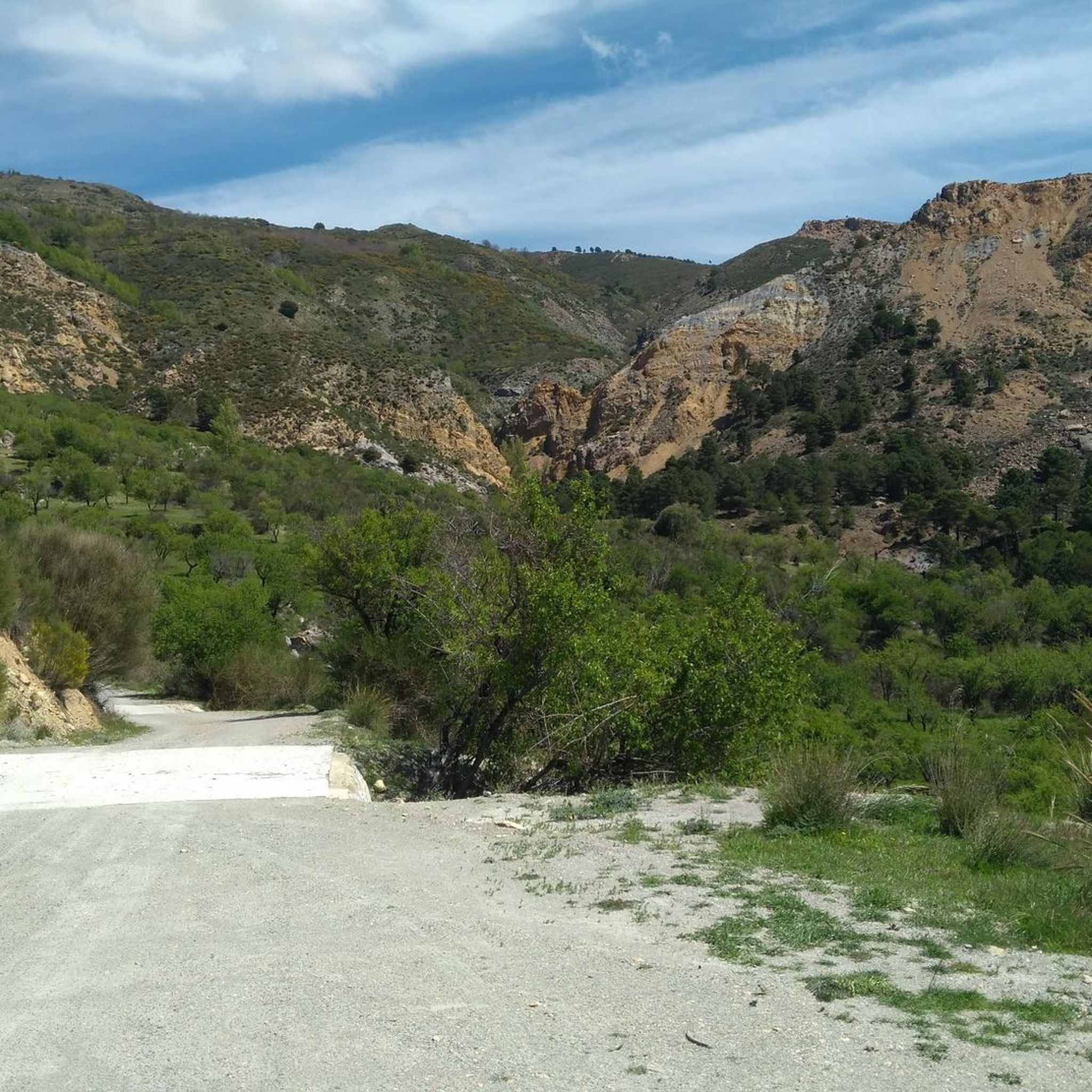
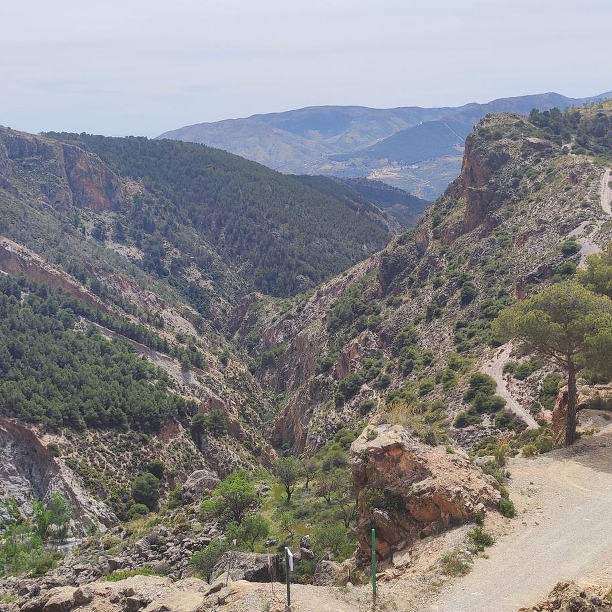
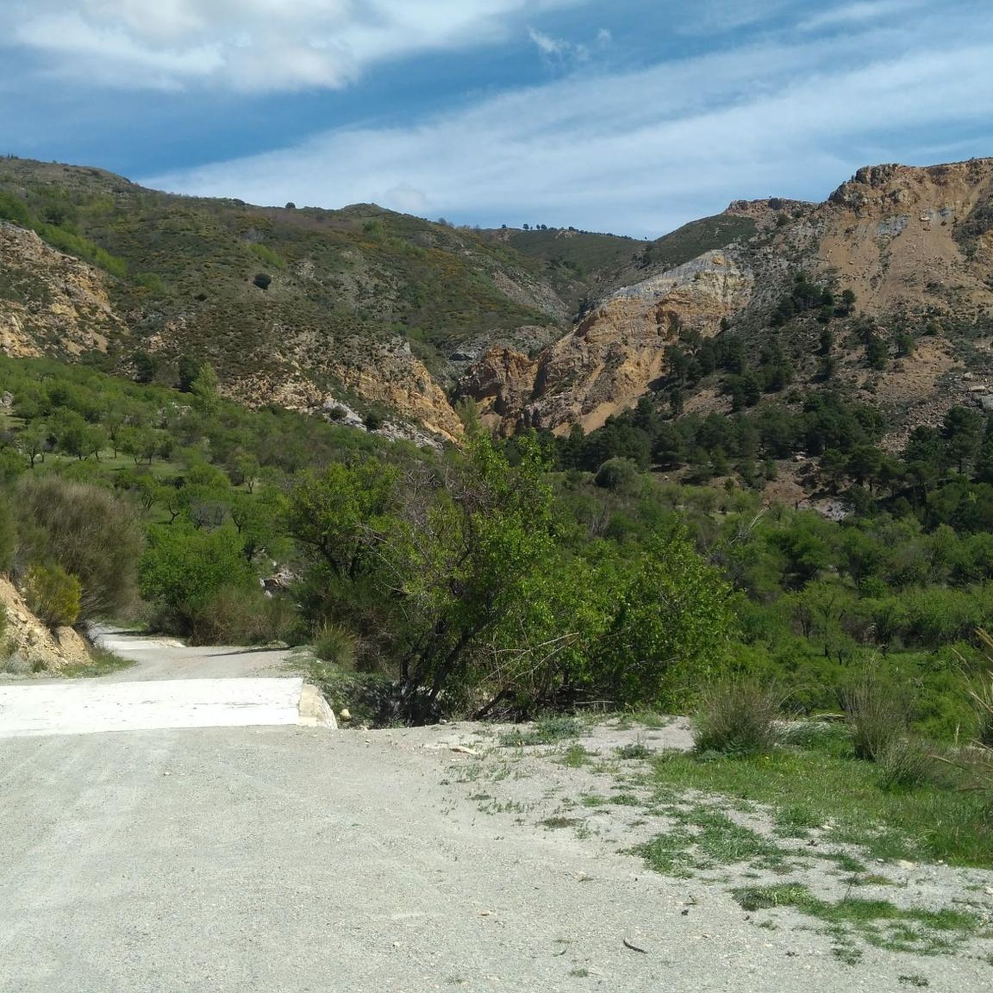
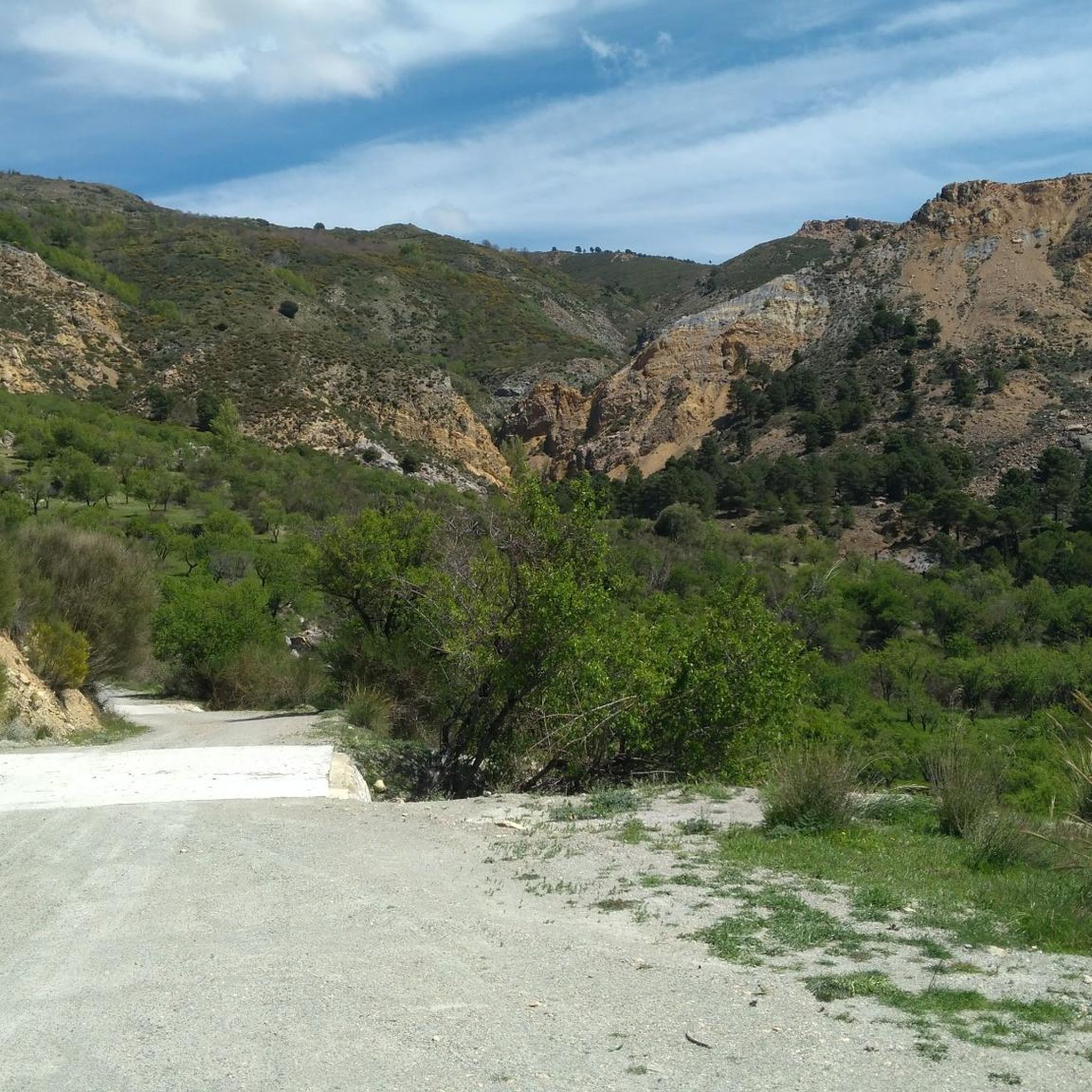
Jogging around Lecrín offers diverse routes through a landscape characterized by river valleys, rolling hills, and traditional agricultural areas. The region is nestled between the Sierra Nevada mountains and the Mediterranean coast, providing a mix of terrain from gentle riverside paths to more challenging ascents. Runners can explore areas with olive groves, citrus orchards, and historical watchtowers.
Best jogging routes around Lecrín
- The most popular jogging route is Río Dúrcal - Baños Trail, a 4.5 miles (7.2 km) trail…
Last updated: October 22, 2026
5.50km
00:42
140m
130m
Moderate run. Good fitness required. Mostly paved surfaces.
25
runners
13.9km
01:40
290m
290m
Moderate run. Good fitness required. Mostly paved surfaces.

3.0
(3)
15
runners
9.70km
01:14
250m
250m
Moderate run. Good fitness required. Mostly paved surfaces.
5
runners
9.40km
01:04
100m
100m
Moderate run. Good fitness required. Mostly paved surfaces.
7
runners
7.93km
00:57
210m
210m
Moderate run. Good fitness required. Mostly paved surfaces.
Get access to more routes and recommendations from other explorers.
Already have an account?
Our route recommendations are based on thousands of hikes, rides, and runs completed by other people on komoot.
Start today with a free account
Your next adventure awaits.

Tips from the Community

The Talará fountain is located next to the church. It has water and is perfect for refilling your water bottles.
1
0


There should be a cross-sport highlight for watering holes, especially in hot regions. In most places in this area there are a lot of bars where you can buy drinks.
0
0
Small white mountain village. The landscape is a great area, the asphalt here is good to decent and there is very little traffic.
0
0

Restábal is a small town located in the municipality of El Valle, in the Valle de Lecrín region. This town of Arab origin retains a special charm with its white houses and narrow, cobbled streets. The area has cycling routes that allow you to enjoy nature, explore the olive groves, and discover beautiful landscapes.
1
0

This area is on the Durcal River itself in the section that goes from the Durcal bridge to the Los Bolos waterfall.
1
0
This hiking route can be done from several points, but for me the best starting point is leaving the car on the iron bridge that is on the old road of Durcal n-323 Asu, passing by the source, from there we go down to the river just under the iron bridge be careful because the road is a bit slippery once in the same river if we take the right this path would take us to the same waterfall of the bolos we never have to leave the section of the river we will arrive at an area where we find a ditch that is fed by the same cascade of the bolos and the same Durcal river that is born in the lagoon of the horse.
0
0

Saleres forms part, together with Melegís and Restábal, of the municipality of El Valle. This group does not reach the 1000 inhabitants. Located in the Lecrín valley, they are mainly dedicated to the cultivation of citrus fruits.
3
1
Frequently Asked Questions
How many running routes can I find in the Lecrín Valley?
The Lecrín Valley offers a wide selection of running routes, with over 60 trails available on komoot. These routes cater to various fitness levels, from easy riverside paths to challenging mountain ascents.
Are there easy running trails suitable for beginners in Lecrín?
Yes, the Lecrín Valley has several easy running options. For instance, the Río Dúrcal - Baños Trail is a relatively flat 4.5-mile (7.2 km) path that follows the Dúrcal River, perfect for a relaxed run.
What kind of scenery can I expect on running routes in the Lecrín Valley?
Runners in Lecrín can enjoy diverse scenery, including picturesque river valleys, rolling hills, and traditional agricultural landscapes filled with olive groves and citrus orchards. Many routes also offer views of the Sierra Nevada mountains and historical watchtowers.
Are there any running routes that pass by interesting landmarks or attractions?
Absolutely. Some routes lead past historical points and natural springs, such as the Fountains and Cónchar Watchtower Trail. You can also find highlights like the Lanjarón River Waterfall or the Lanjarón Castle Ruins near some trails.
What do other runners say about the trails in Lecrín?
The running routes in Lecrín are highly regarded by the komoot community, holding an average rating of 4.1 stars from over 10 reviews. Runners often praise the varied terrain and the beautiful natural surroundings.
Are there any challenging running routes for experienced runners?
Yes, for those seeking a challenge, the Lecrín Valley offers difficult routes with significant elevation gain. The Bordaila - Acequia Nueva Trail is a difficult 5.9-mile (9.5 km) path with varied terrain and expansive valley views, while the Ascent to Cerrillo Redondo loop from Dúrcal is an even longer and more demanding option.
Can I find circular running routes in the Lecrín Valley?
Yes, many of the running trails in the Lecrín Valley are designed as loops, allowing you to start and finish at the same point. An example of a longer circular route is the Hermitage of the Tajo de la Cruz – Lanjarón River loop from Lanjarón.
What is the best time of year to go running in Lecrín?
The Lecrín Valley generally enjoys a mild climate, making it suitable for running for much of the year. Spring and autumn offer pleasant temperatures and vibrant landscapes. Even winter can be good for running, especially on lower-elevation trails, though higher routes might be cooler.
Are there any running routes suitable for families with children?
While specific 'family-friendly' designations aren't always explicit, routes like the Río Dúrcal - Baños Trail, with its relatively flat and scenic riverside path, could be suitable for families looking for an easier run or walk.
Are dogs allowed on the running trails in Lecrín?
Many trails in the Lecrín Valley are dog-friendly, especially those in natural areas. However, it's always recommended to keep your dog on a leash, especially in agricultural zones or near wildlife, and to check local regulations for specific routes or protected areas.
Are there places to park near the running trails in Lecrín?
Parking is generally available in or near the villages that serve as starting points for many routes, such as Dúrcal or Lanjarón. It's advisable to check the specific route details on komoot for parking suggestions at the trailhead.
What is the typical duration of a running trail in the Lecrín Valley?
Running trail durations in Lecrín vary significantly. Shorter, moderate routes like the Fountains and Cónchar Watchtower Trail can be completed in about 40-50 minutes, while longer, difficult trails can take several hours.
Most popular attractions around Lecrín

Get inspired with the komoot mobile app


Explore more
Browse the best Running Trails & Routes in other regions.
