The best walks and hikes around Lanteira
4.6
(184)
1,148
hikers
91
hikes
Hiking around Lanteira offers access to the mountainous environment of the Sierra Nevada National Park, with peaks exceeding 3,000 meters. The region features diverse landscapes including canyons, rivers, and historical mining paths. Hikers can explore natural features such as waterfalls and viewpoints, with routes often following river courses. This area provides a range of trails from tranquil nature walks to challenging climbs.
Best hiking trails around Lanteira
- The most popular hiking route is Río Benéjar and Castillo de la Caba…
Last updated: October 21, 2026
5.0
(3)
77
hikers
20.5km
10:17
1,580m
1,580m
Hard hike. Very good fitness required. Sure-footedness, sturdy shoes and alpine experience required.
4.8
(8)
39
hikers
13.5km
04:17
330m
330m
Hard hike. Good fitness required. Sure-footedness, sturdy shoes and alpine experience required.

5.0
(3)
25
hikers
27.8km
11:45
1,710m
1,710m
Hard hike. Very good fitness required. Sure-footedness, sturdy shoes and alpine experience required.
5.0
(2)
12
hikers
23.5km
09:46
1,200m
1,200m
Hard hike. Very good fitness required. Sure-footedness, sturdy shoes and alpine experience required.
5.0
(3)
9
hikers
13.8km
04:28
320m
320m
Hard hike. Good fitness required. Sure-footedness, sturdy shoes and alpine experience required.
Get access to more routes and recommendations from other explorers.
Already have an account?
Our route recommendations are based on thousands of hikes, rides, and runs completed by other people on komoot.
Start today with a free account
Your next adventure awaits.

Tips from the Community

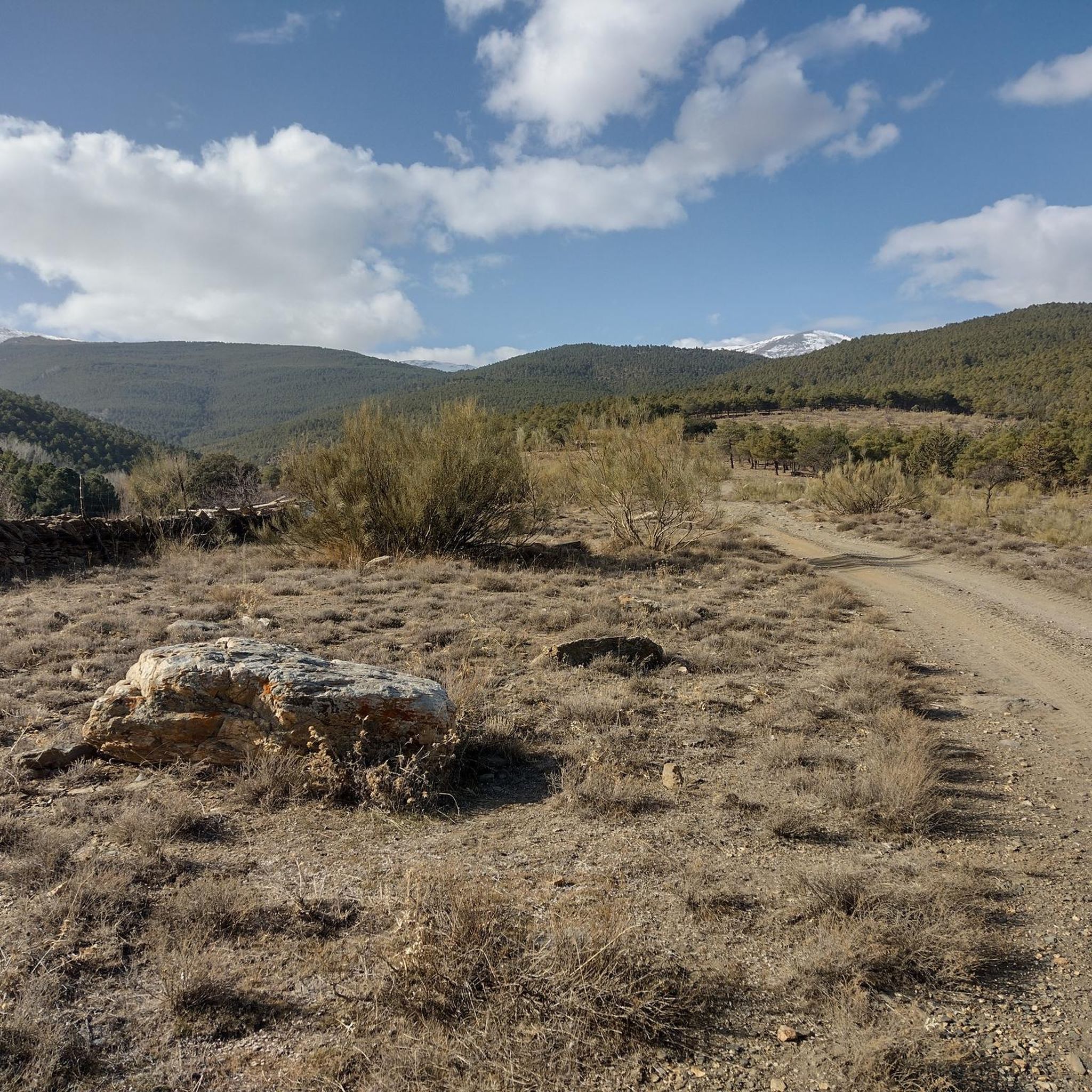
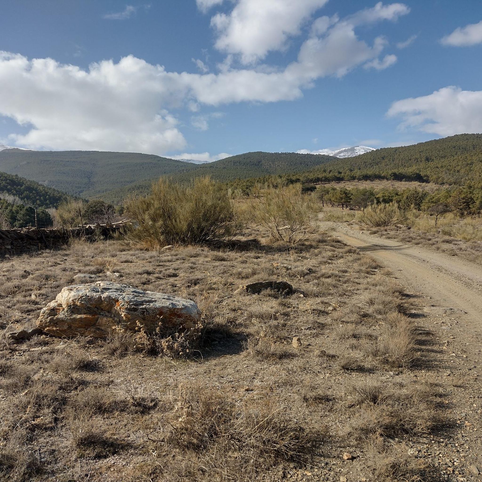
From here, the views of the three-thousanders, Hoya de Guadix and El Marquesado are spectacular.
0
0
The Covtaillas stream originates in the Lavaderos de la Reina, a glacial cirque fed by snowmelt. During spring and early summer, it feeds the Covatillas pond and a wide area of alpine pastures.
0
0
The Postero Alto refuge is guarded and has 50 places. It offers overnight stays, meals, and hot showers.
0
0

The refuge is very well equipped, always staffed and a good starting point for high mountain routes on the north face of the Sierra Nevada, Picón de Jérez.
0
1

A magical place in the Sierra Nevada, best to visit in May when the thaw is underway.
1
0

To contemplate the numerous waterfalls in the area in their maximum splendor, it is better to take this circular route, going up the waterfalls, that is, in an ascending direction, from the acequia de papels and along the Covatillas stream upwards.
1
0

If it is in summer, take spare sandals to walk along the Xapo river..
0
0
Frequently Asked Questions
How many hiking trails are available around Lanteira?
Lanteira offers a wide variety of hiking experiences, with over 60 routes documented on komoot. These trails cater to all levels, from easy strolls to challenging mountain ascents within the Sierra Nevada Natural Park.
What kind of terrain can I expect on hikes in Lanteira?
The terrain around Lanteira is incredibly diverse, ranging from mountainous landscapes with peaks exceeding 3,000 meters to scenic river valleys and canyons. You'll encounter historical mining paths, lush riverbanks, and areas with significant elevation changes, especially on routes leading into the Sierra Nevada.
Are there any easy or beginner-friendly hikes in Lanteira?
Yes, Lanteira has several easy routes perfect for beginners or those looking for a relaxed walk. A great option is the Waterfall – Benéjar River loop from Aldeire, which is 6.3 km long and takes about 1 hour 50 minutes, leading you through river valleys and past beautiful waterfalls.
Can I find challenging hikes with significant elevation gain in the Lanteira area?
Absolutely. For experienced hikers seeking a challenge, Lanteira provides access to demanding routes within the Sierra Nevada. The Refugio Postero Alto – Picón de Jerez loop from Peñón del Mojo is a difficult 20.5 km path with substantial elevation gain, leading towards one of the Sierra Nevada's impressive peaks.
Are there any hikes that feature waterfalls near Lanteira?
Yes, the region is known for its beautiful waterfalls. The Waterfall – Benéjar River loop from Aldeire is an excellent choice, taking you directly past cascades along the Benéjar River. You can also explore the Lavaderos de la Reina and the Grande Waterfall of the Lavaderos de la Reina, which are notable natural monuments in the area.
Are there any circular walks available around Lanteira?
Many of the trails around Lanteira are circular, offering varied scenery without retracing your steps. A popular moderate circular route is the Río Benéjar and Castillo de la Caba Loop, which is 12.4 km long and follows the Benéjar River, offering views of the historic Castillo de la Caba.
What historical landmarks or natural features can I see while hiking in Lanteira?
Lanteira's hiking trails often lead past fascinating historical and natural sites. You can explore ancient Roman silver mining paths, enjoy views from the End of the World Viewpoint, or discover the historic Castillo de la Caba. The region is also part of the Granada Geopark, offering unique geological formations.
What do other hikers enjoy most about hiking in Lanteira?
The hiking experiences in Lanteira are highly rated by the komoot community, with an average score of 4.7 stars from over 100 reviews. Hikers frequently praise the diverse landscapes, the stunning views of the Sierra Nevada, and the opportunity to explore both natural beauty and historical elements like ancient mining paths and castles.
Are there any family-friendly hiking options in Lanteira?
Yes, Lanteira offers options suitable for families. The recreational areas near the village, with picnic tables and small bridges, provide pleasant spots for shorter walks. Routes like the Waterfall – Benéjar River loop from Aldeire are generally considered accessible and enjoyable for families.
Is Lanteira a good destination for winter hiking?
While Lanteira offers access to the Sierra Nevada, which can have snow at higher altitudes in winter, it's essential to be prepared for winter conditions. Lower elevation trails might be accessible, but for mountainous routes, specific winter gear, experience, and checking weather conditions are crucial. The best time for general hiking is typically outside of deep winter.
What is the best time of year to go hiking in Lanteira?
The best time to hike in Lanteira is generally during spring (April-June) and autumn (September-November). During these seasons, the weather is usually mild and pleasant, and the natural scenery is vibrant. Summer can be very hot, especially at lower elevations, while winter brings colder temperatures and potential snow in the higher Sierra Nevada.
Are there any trails that follow rivers or offer waterside views?
Many trails in Lanteira follow the course of rivers, providing beautiful waterside views and a refreshing experience. The Río Benéjar and Castillo de la Caba Loop and the Waterfall – Benéjar River loop from Aldeire both prominently feature the Benéjar River, allowing hikers to enjoy its natural beauty.
Most popular attractions around Lanteira

Get inspired with the komoot mobile app


Explore more
Browse the best Hikes in other regions.
