The best walks and hikes around Aueniederung und Nebentäler
4.5
(5095)
20,854
hikers
41
hikes
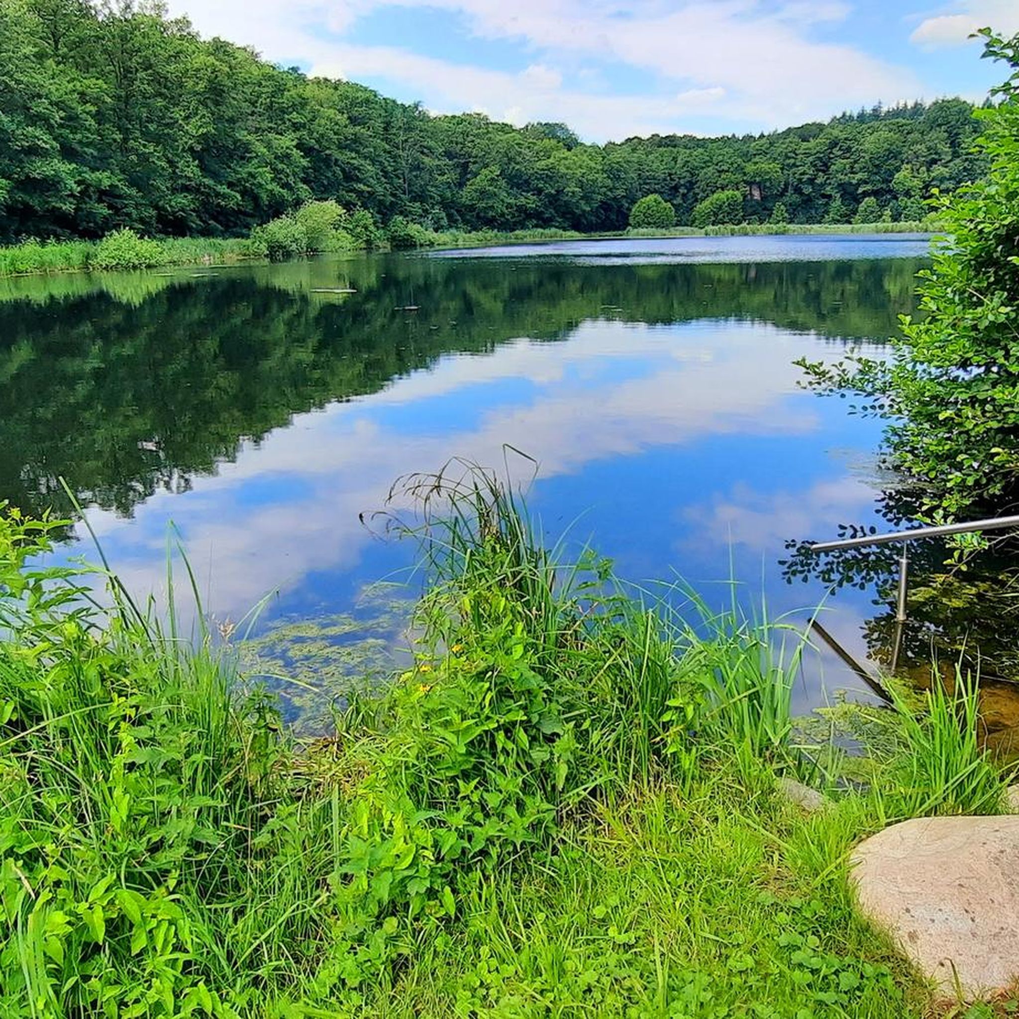
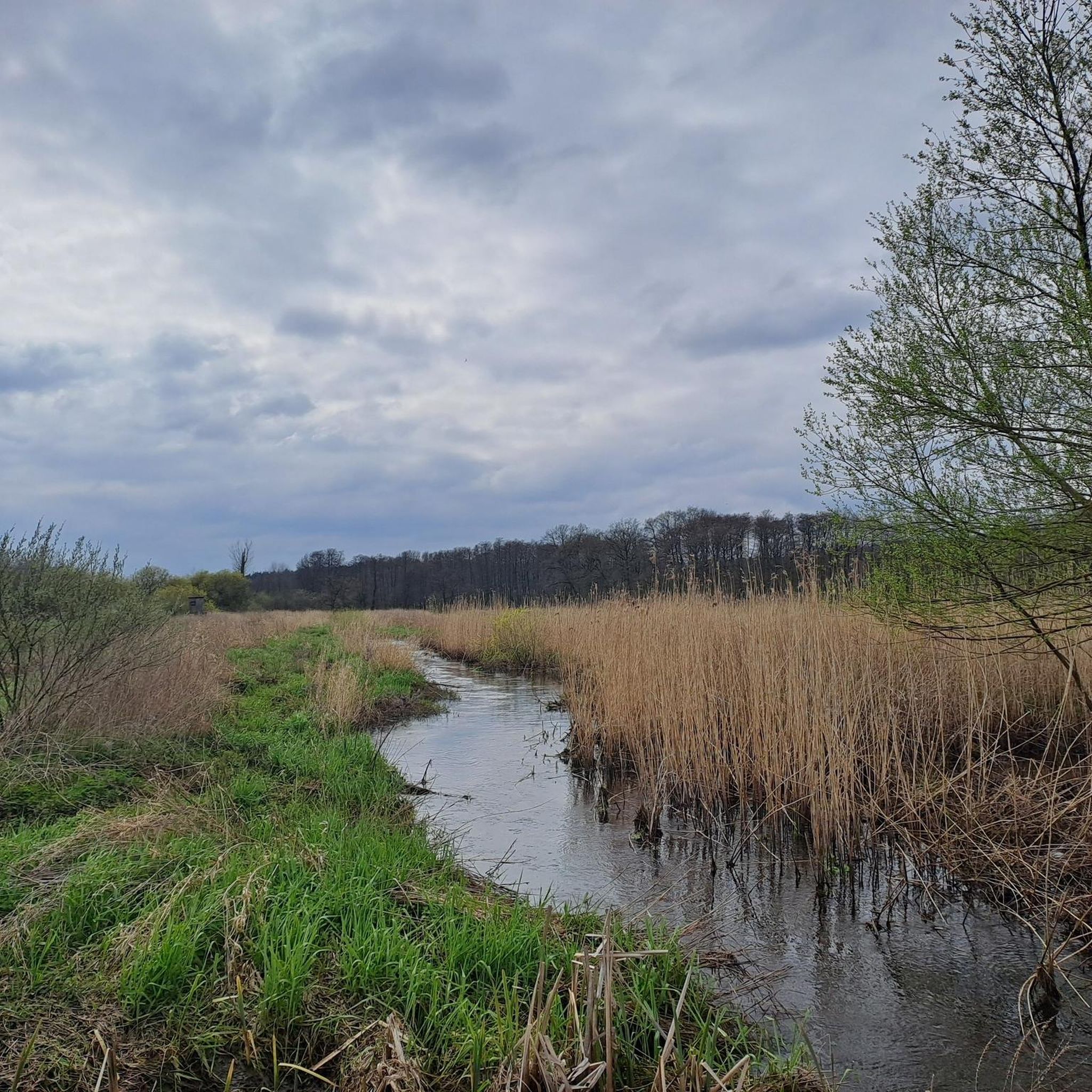
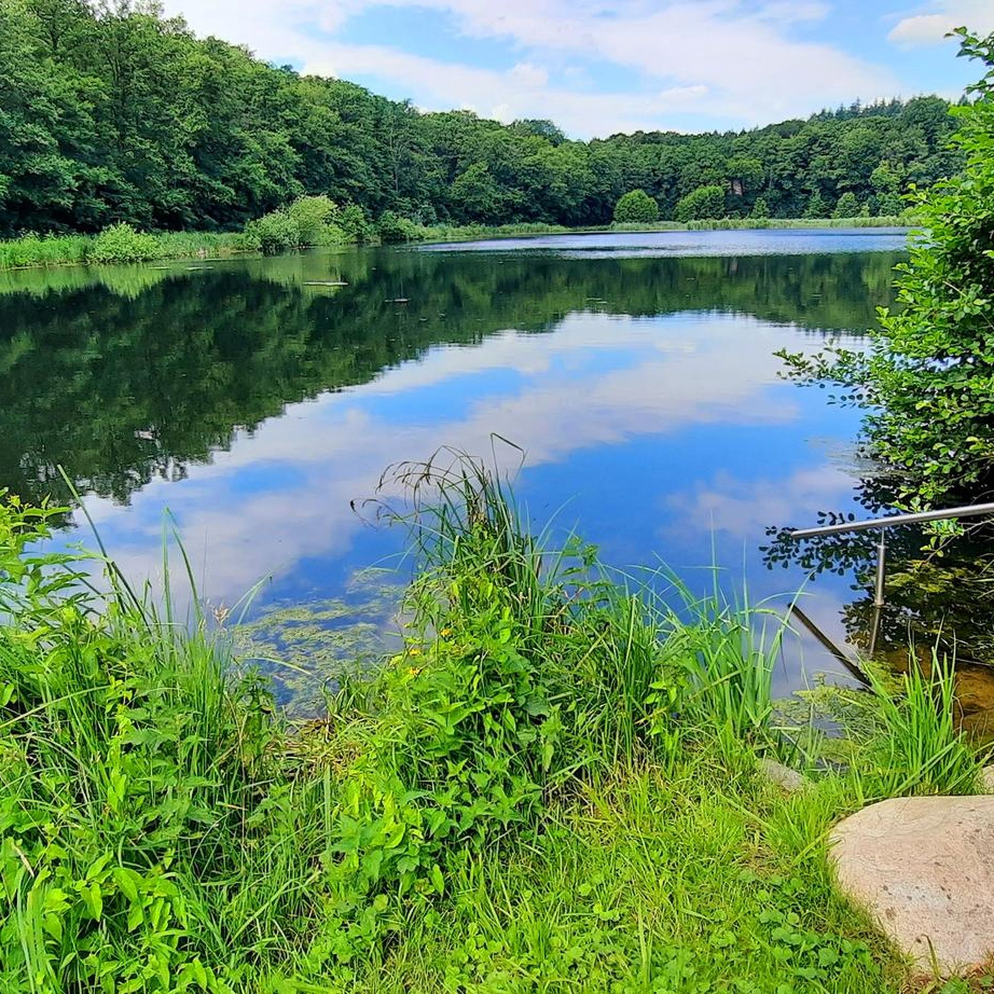
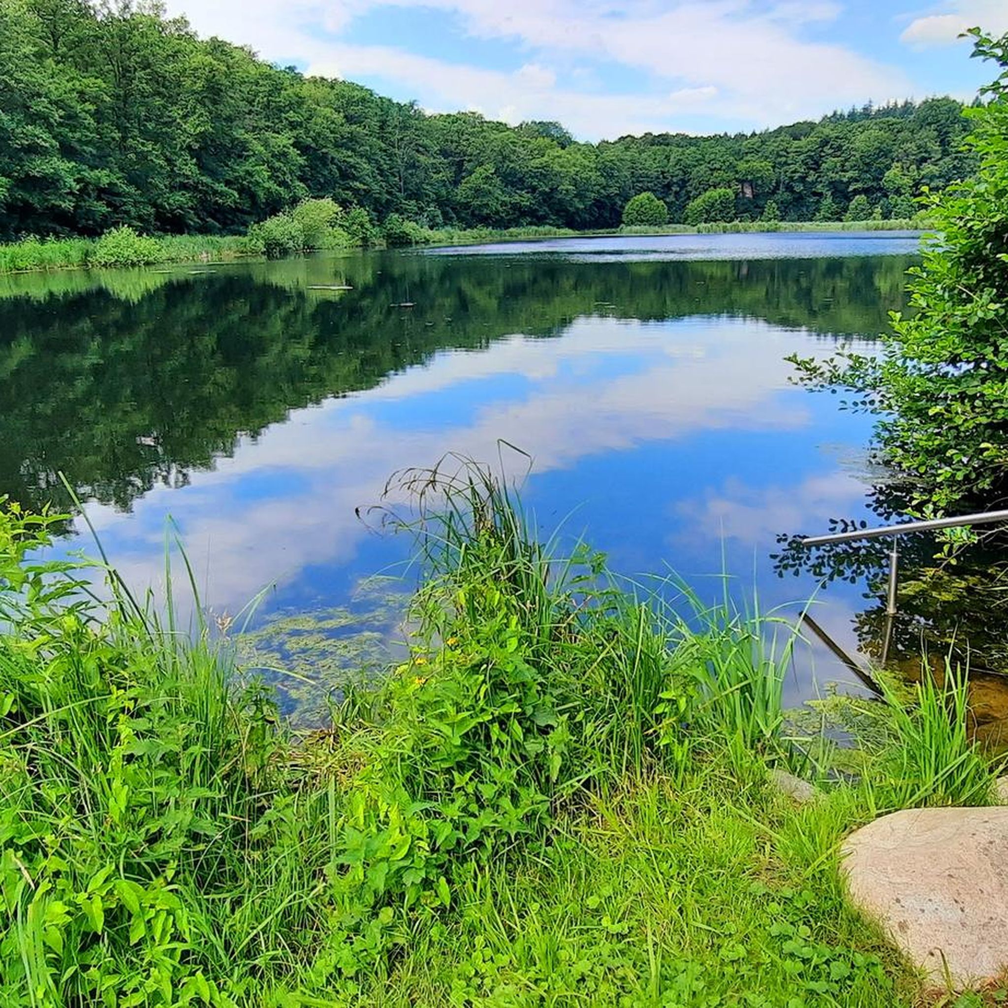
Hiking around Aueniederung und Nebentäler offers diverse natural landscapes shaped by the meandering Aue river and its tributary valleys like Steinbeck and Daudieck. The region features extensive wetlands, sedge beds, and reedbeds, often subject to natural flooding. Hikers will encounter various forest types, including soft hardwood riparian forests, bog forests, and mixed woodlands with dominant oak and beech trees. The terrain generally presents low elevation changes, making it accessible for a range of abilities.
Best hiking trails around Aueniederung und Nebentäler
- The most popular hiking route is Riparian forest at the Steinbeck – Buchenhain Allee loop from Aueniederung und Nebentäler, an easy 4.2 miles (6.8 km) trail that takes about 1 hour 45 minutes to complete. This route guides visitors through the tranquil riparian forests along the Steinbeck.
- Another top favourite among local hikers is Forest trail along the Steinbeck – Riparian forest at the Steinbeck loop from Aueniederung und Nebentäler, an easy 3.4 miles (5.4 km) path. This trail offers views of the diverse forest types and the gentle flow of the Steinbeck.
- Local hikers also love the Aue Wetlands, Daudieck – Daudieck Estate Lake loop from Steinbeckforst, a 12.5 miles (20.1 km) trail leading through the extensive Aue wetlands and past the Daudieck Estate Lake, often completed in about 5 hours 10 minutes.
- Hiking around Aueniederung und Nebentäler is defined by meandering rivers, extensive wetlands, and diverse forest types. The network offers options for easy strolls through lowlands as well as more challenging, longer treks.
- The routes in Aueniederung und Nebentäler are highly rated by the komoot community with an average score of 4.6 stars from over 290 reviews. More than 1,000 hikers have used komoot to explore Aueniederung und Nebentäler's varied terrain.
Last updated: October 5, 2026
4.7
(167)
422
hikers
Easy hike. Great for any fitness level. Easily-accessible paths. Suitable for all skill levels.
4.7
(27)
90
hikers
Easy hike. Great for any fitness level. Easily-accessible paths. Suitable for all skill levels.

4.8
(17)
59
hikers
20.1km
05:12
110m
100m
Hard hike. Very good fitness required. Easily-accessible paths. Suitable for all skill levels.
4.2
(11)
48
hikers
Easy hike. Great for any fitness level. Easily-accessible paths. Suitable for all skill levels.
3.9
(9)
38
hikers
Easy hike. Great for any fitness level. Easily-accessible paths. Suitable for all skill levels.
Get access to more routes and recommendations from other explorers.
Already have an account?
Our route recommendations are based on thousands of hikes, rides, and runs completed by other people on komoot.
Start today with a free account
Your next adventure awaits.
Tips from the Community

A great cycling and hiking route runs here amidst beautiful nature 💚 highly recommended 👍.
2
0
A great bike and hiking route leads along here amidst beautiful nature 💚.
1
0

Beautiful bridge in Auetal - in 2023 the boards of the walking surface were renewed.
0
0
A great cycling and hiking route leads along here, recommended in the midst of beautiful nature all year round.
1
0
A great bike and hiking route runs along here amidst beautiful nature, recommended at any time of year.
2
0

Enchanted valley - a small path leads along the partly very steep banks.
0
0
Fantastically beautiful hike and bike tour in the entire Auental and its side valleys, recommendable and interesting at the same time 👍🏼.
2
0
Fantastically beautiful hiking trail on the Steinbeck in the Auental and its side valleys. A visit is recommended and interesting at the same time.
1
0
Frequently Asked Questions
How many hiking trails are available in Aueniederung und Nebentäler?
Aueniederung und Nebentäler offers a wide selection of routes, with over 40 hiking trails to explore. These range from easy strolls through the lowlands to more challenging, longer treks.
What kind of terrain can I expect when hiking in Aueniederung und Nebentäler?
The landscape is primarily shaped by the meandering Aue river and its tributary valleys, featuring extensive wetlands, sedge beds, and reedbeds. You'll also encounter diverse forest types, including soft hardwood riparian forests, bog forests, and mixed woodlands. The terrain generally presents low elevation changes, making it accessible for a range of abilities, with special wooden boardwalks and bridges in swampy areas.
Are there hiking trails for all skill levels?
Yes, the area caters to various fitness levels. Out of the 40 available routes, 30 are classified as easy, 9 as moderate, and 1 as difficult. This ensures that both casual walkers and experienced hikers can find suitable options.
Are there family-friendly hiking options in Aueniederung und Nebentäler?
Absolutely. Many of the trails are easy and feature low elevation changes, making them ideal for families. The presence of wooden boardwalks and informative signs about local flora and fauna can also enhance the experience for children. Consider routes like the Wooden bridge over the Aue – Issendorfer Lake District loop for a pleasant family outing.
Can I bring my dog on the trails in Aueniederung und Nebentäler?
Yes, you can bring your dog, but it's important to note that the Aueniederung und Nebentäler is a nature reserve. Therefore, dogs must be kept leashed year-round to protect the local wildlife and natural habitats.
What natural features or wildlife can I observe while hiking?
The region is rich in biodiversity. You can observe extensive wetlands, sedge beds, and various forest types including oak-hornbeam and alder-ash forests. Keep an eye out for diverse flora like wild orchids, marsh marigolds, and yellow water-lilies. The area is a haven for fauna, with opportunities to spot kingfishers, various warblers, otters, deer, and even moor frogs.
Are there any waterfalls to see along the hiking trails?
Yes, the region features small waterfalls that add a calming auditory element to the natural surroundings, enhancing the scenic beauty of your hike.
What landmarks or points of interest can I explore near the hiking routes?
Beyond the trails, you can visit the Wooden boardwalk in Aueniederung and Side Valleys, the scenic Steinbecktal Forest Trail, or the tranquil Daudieck Estate Lake. The 'Garten der Steine' in Harsefeld also offers geological insights with large Scandinavian erratics. Covered observation points along the trails provide panoramic views and information about the area.
What do other hikers say about the trails in Aueniederung und Nebentäler?
The trails in Aueniederung und Nebentäler are highly rated by the komoot community, with an average score of 4.6 stars from over 290 reviews. Hikers often praise the diverse natural landscapes, the tranquility of the wetlands and forests, and the well-maintained paths, including the special wooden boardwalks.
Are there circular hiking routes available?
Yes, many of the trails in Aueniederung und Nebentäler are designed as circular routes, allowing you to start and end your hike at the same point. An example is the Riparian forest at the Steinbeck – Buchenhain Allee loop, which guides you through tranquil riparian forests.
When is the best time to visit Aueniederung und Nebentäler for hiking?
The area is accessible throughout the year, thanks to well-maintained trails and wooden boardwalks over swampy areas. However, spring and autumn offer particularly beautiful scenery with blooming flora or vibrant fall colors, and generally milder temperatures for hiking.
Where can I find parking for the hiking trails?
While specific parking locations vary by trailhead, the region is well-equipped for visitors. Look for designated parking areas near popular access points in towns like Harsefeld and Horneburg, which serve as good starting points for exploring the Aueniederung und Nebentäler.
Are there any accommodations or cafes near the hiking areas?
Yes, the nearby towns of Harsefeld and Horneburg offer various amenities, including cafes, pubs, and accommodation options. These towns serve as convenient bases for exploring the Aueniederung und Nebentäler, providing places to relax and refuel after your hike.
Most popular routes around Aueniederung und Nebentäler
Most popular attractions around Aueniederung und Nebentäler

Get inspired with the komoot mobile app


Explore more
Browse the best Hikes in other regions.
