The best walks and hikes around Tírig
4.5
(51)
273
hikers
47
hikes
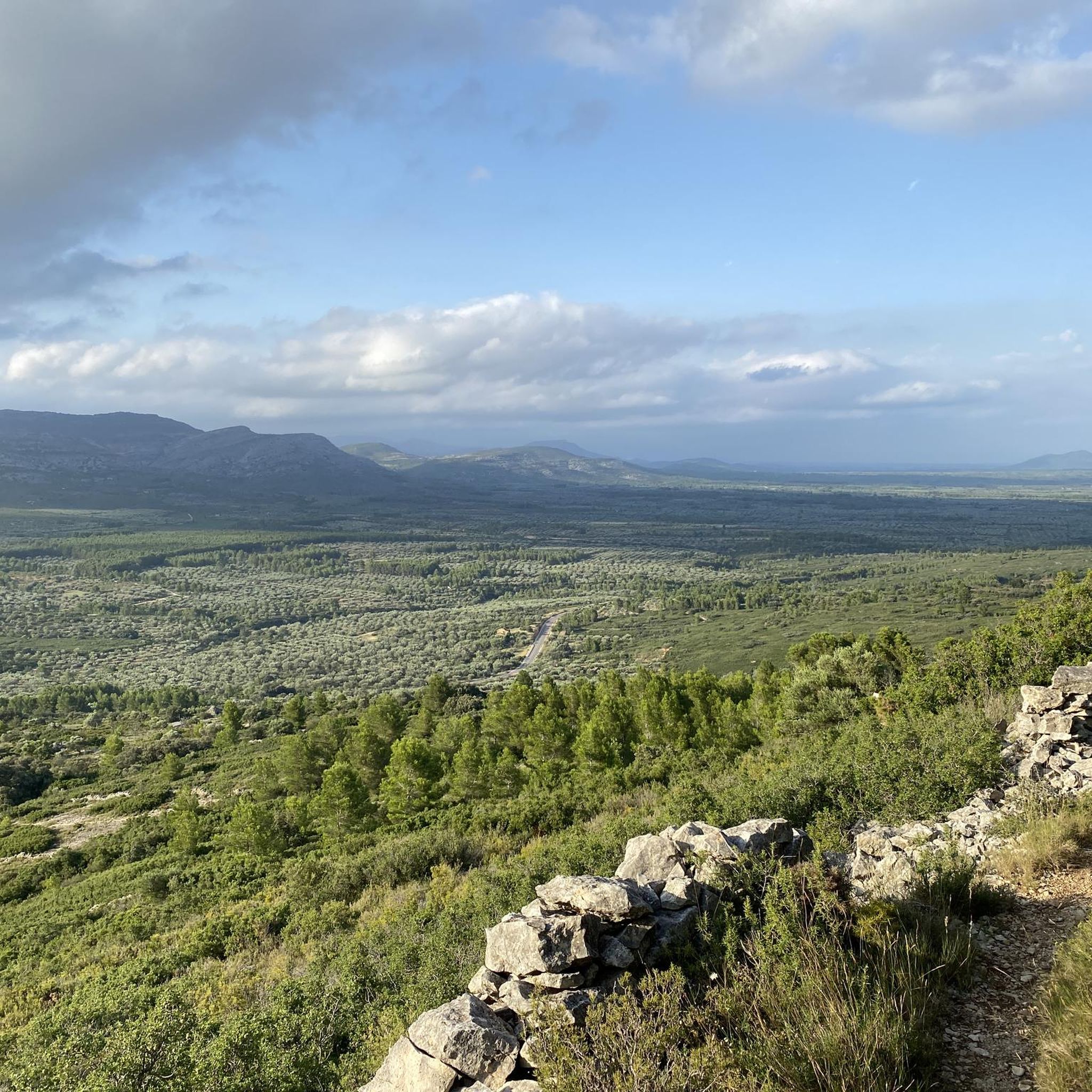
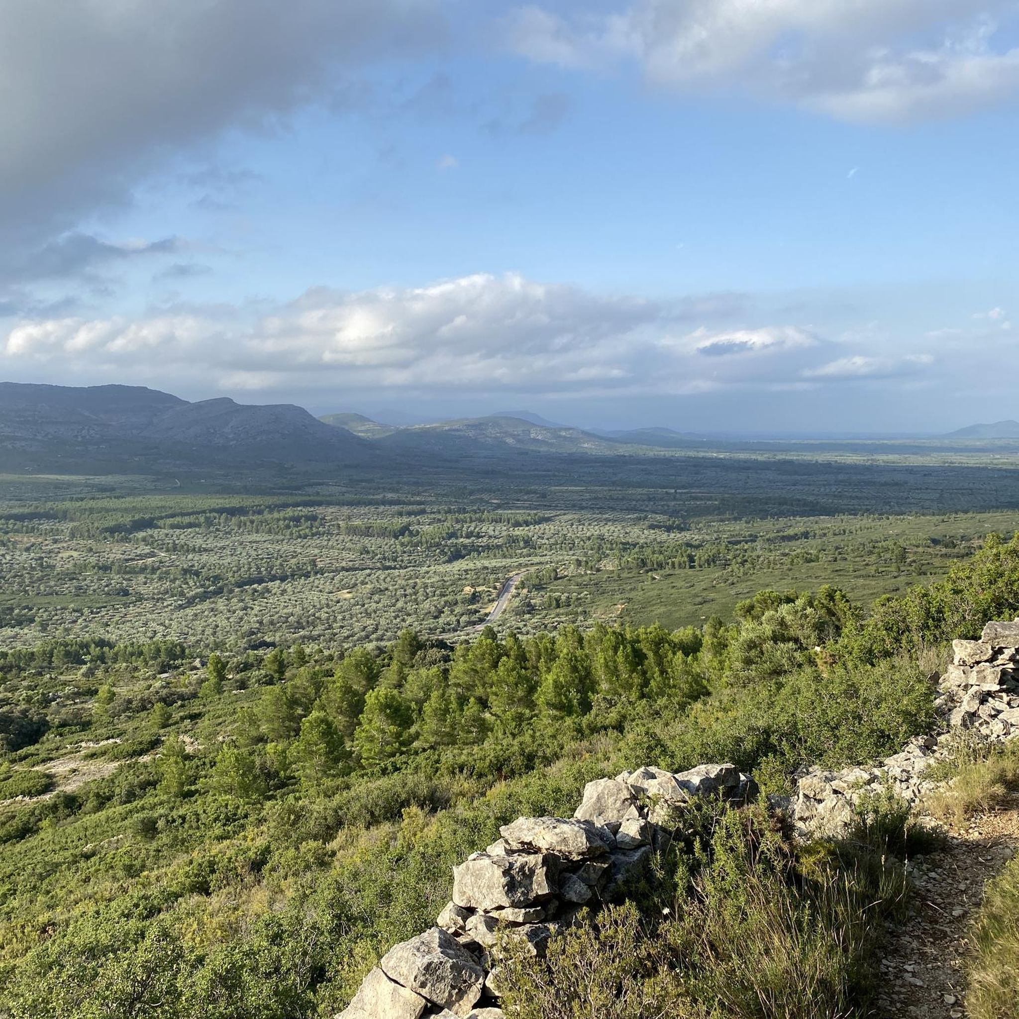
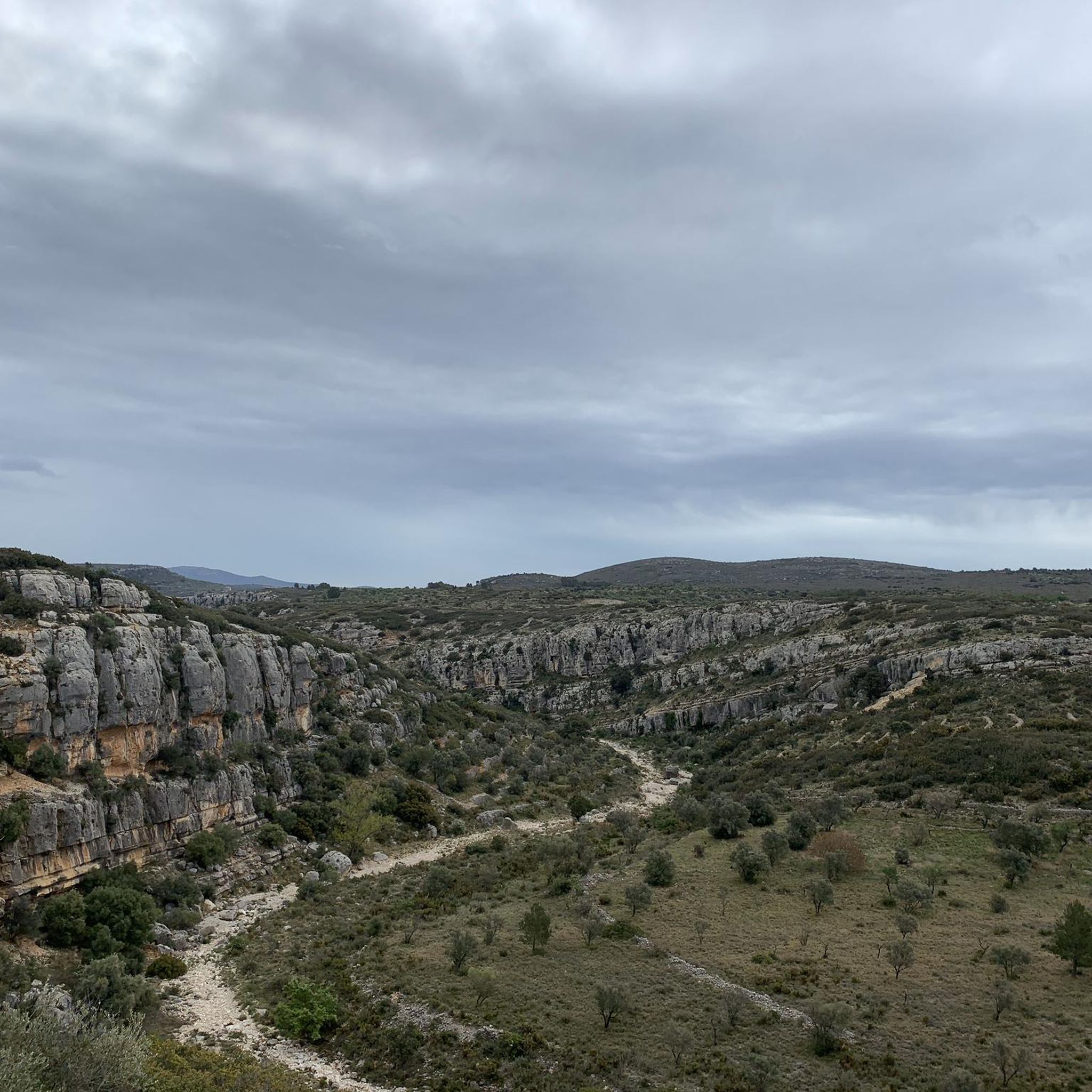
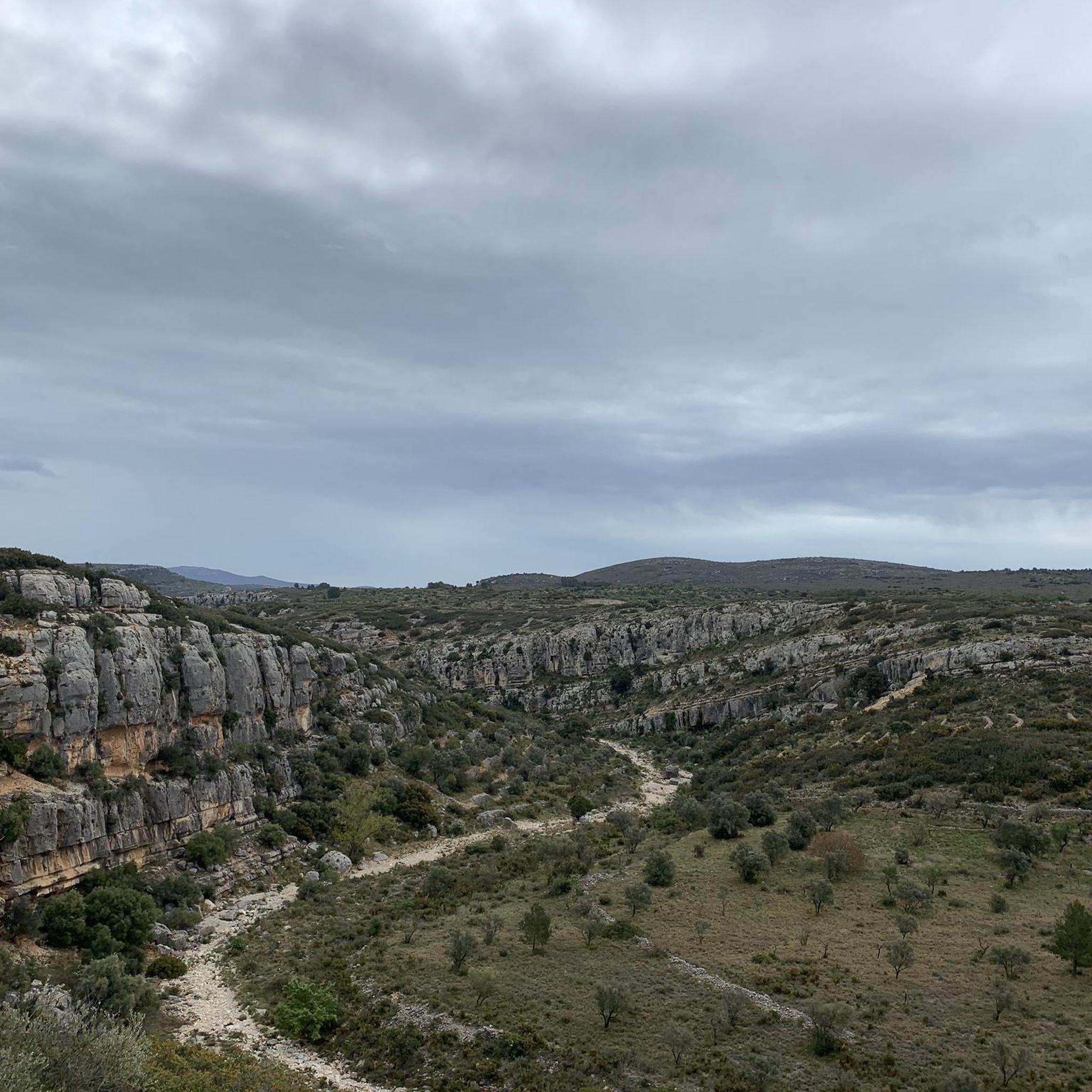
Hiking around Tírig, located in the Castellón province, offers exploration within the dry landscapes of L'Alt Maestrat. The region is characterized by ravines, such as the Barranc de la Valltorta, and features ancient dry stone buildings integrated into the natural environment. Elevation gains on trails vary, providing diverse hiking experiences across its terrain.
Best hiking trails around Tírig
- The most popular hiking route is PR-CV 202: San Cristóbal Trail, a 9.5 miles (15.3 km) trail that takes 4 hours…
Last updated: July 1, 2026
4.6
(5)
17
hikers
15.3km
04:19
340m
340m
Hike the moderate 9.5-mile Route of San Cristóbal (PR-CV 202) to the historic Sanctuary of La Mare de Déu dels Àngels for panoramic views.
4.6
(7)
18
hikers
11.0km
03:10
270m
270m
Moderate hike. Good fitness required. Easily-accessible paths. Suitable for all skill levels.

Sign up for free
14
hikers
20.3km
06:53
990m
990m
Hard hike. Very good fitness required. Easily-accessible paths. Suitable for all skill levels.
5.0
(2)
10
hikers
8.80km
02:41
300m
300m
Moderate hike. Good fitness required. Easily-accessible paths. Suitable for all skill levels.
9
hikers
7.27km
02:06
180m
180m
Moderate hike. Good fitness required. Easily-accessible paths. Suitable for all skill levels.
Get access to more routes and recommendations from other explorers.
Sign up for free
Already have an account?
Our route recommendations are based on thousands of hikes, rides, and runs completed by other people on komoot.
Start today with a free account
Your next adventure awaits.
Login or Signup
Tips from the Community

Large dry stone barracks on the way to the cave paintings of the Cova dels Cavalls.
1
0


Located on a hill overlooking the town of San Mateo, we have the hermitage that also has a restaurant. At the top of the square, there is a fountain where you can refill your bottles.
1
0

Its construction dates from the 16th to the 18th centuries and the complex is made up of the church, the inn, the viewpoint, the well and other adjoining buildings. It has a very particular architectural style, a Renaissance combination with baroque decoration from the 17th century. A very beautiful and picturesque place to visit.
2
0
Frequently Asked Questions
What kind of terrain can I expect on hikes around Tírig?
Hikes around Tírig are primarily characterized by the dry landscapes of L'Alt Maestrat, featuring ravines like the Barranc de la Valltorta. You'll encounter ancient dry stone buildings integrated into the natural environment, offering a blend of cultural heritage and natural beauty. The trails vary, from relatively flat paths to routes with significant elevation gain.
Are there hiking trails suitable for beginners in Tírig?
Yes, Tírig offers a good selection of easier routes. Approximately 15 of the 48 available tours are classified as easy, making them suitable for beginners or those looking for a more relaxed walk. These paths typically have less elevation gain and shorter distances.
Are there challenging hikes for experienced trekkers in Tírig?
For experienced trekkers, Tírig provides more challenging options. Routes like the Tossal de la Nevera – Coll de l'Avellà loop from Catí, for example, cover over 20 km with nearly 1,000 meters of elevation gain, requiring good fitness and sure-footedness. There are 4 difficult routes available for those seeking a greater challenge.
What historical or natural attractions can I see while hiking in Tírig?
The region is rich in history and natural beauty. You can explore the Barranc de la Valltorta, a UNESCO World Heritage site known for its prehistoric cave paintings. Many trails also lead past ancient dry stone buildings. Specific highlights include the Hermitage of Our Lady of the Angels and the Ermita de Santa Bárbara, both offering scenic views.
Where can I learn more about the prehistoric cave paintings in the area?
The primary draw to the region is the wealth of Levantine rock art found within the Valltorta ravine. To learn more, you can visit the Valltorta Museum in Tírig, which features an exhibition with reproductions of the cave paintings. Guided tours from the museum can also lead visitors to the actual painting sites within the ravine.
Are there family-friendly hiking options in Tírig?
While specific 'family-friendly' designations aren't always explicit, the presence of 15 easy routes suggests many are suitable for families. Look for shorter, less elevated paths. The local council highlights routes like the 'Hermitage of Santa Barbara' which is under 5 km and relatively easy, making it a good option for families.
Are there circular hiking routes available in Tírig?
Yes, many of the trails in Tírig are designed as loops. An example is the Dry Stone Hut – Calçiner Stone Well loop from Museo de la Valltorta, which is a moderate 11 km path exploring the cultural landscape. Another is the Racó del Frare loop from Paratge Natural Municipal Racó del Frare.
What is the best time of year to go hiking in Tírig?
Given the dry landscapes of L'Alt Maestrat, spring and autumn are generally the most pleasant seasons for hiking in Tírig. Temperatures are milder, making longer excursions more comfortable. Summer can be very hot, while winter offers cooler, crisp conditions, though some higher routes might be exposed to wind.
What do other hikers enjoy most about hiking in Tírig?
The area is highly rated by the komoot community, with an average score of 4.5 stars from over 40 reviews. Hikers often praise the unique dry landscapes, the historical significance of the ancient dry stone buildings, and the dramatic scenery of the ravines, particularly the Barranc de la Valltorta.
Is public transport available to reach hiking trailheads in Tírig?
Information on specific public transport links directly to trailheads is limited. Tírig is a smaller town in a rural region, so while there might be some local bus services, relying on a car is generally recommended for accessing the various hiking routes and attractions efficiently.
Are there any natural monuments to see near Tírig?
Yes, the region boasts several natural monuments. You can visit La Mola de Xert or the ancient Roure de les Berrugues (Oak of the Warts). These sites offer unique natural features to explore alongside your hikes.
Most popular attractions around Tírig

Get inspired with the komoot mobile app


Explore more
Browse the best Hikes in other regions.
