The best cycling routes around Breitengüßbacher Forst
4.5
(4027)
19,982
riders
647
rides
Touring cycling routes around Breitengüßbacher Forst often follow the Main River and its tributaries, characterized by flat river valleys and gentle rolling terrain. The region features a mix of open fields, agricultural landscapes, and sections of woodland, providing varied scenery for cyclists. Routes frequently offer views of distant hills like Staffelberg and pass through historic villages with traditional architecture.
Best touring cycling routes around Breitengüßbacher Forst
- The most popular touring cycling route is Rattelsdorf Historic Gatehouse – View of the…
Last updated: July 4, 2026
4.5
(53)
175
riders
Easy bike ride. Great for any fitness level. Mostly paved surfaces. Suitable for all skill levels.
4.5
(22)
52
riders
26.1km
01:34
150m
160m
Moderate bike ride. Good fitness required. Mostly paved surfaces. Suitable for all skill levels.

Sign up for free
5.0
(3)
68
riders
Easy bike ride. Great for any fitness level. Mostly paved surfaces. Suitable for all skill levels.
4.5
(11)
38
riders
23.8km
01:23
120m
120m
Easy bike ride. Great for any fitness level. Mostly paved surfaces. Suitable for all skill levels.
4.5
(2)
20
riders
Easy bike ride. Great for any fitness level. Mostly paved surfaces. Suitable for all skill levels.
Get access to more routes and recommendations from other explorers.
Sign up for free
Already have an account?
Our route recommendations are based on thousands of hikes, rides, and runs completed by other people on komoot.
Start today with a free account
Your next adventure awaits.
Login or Signup
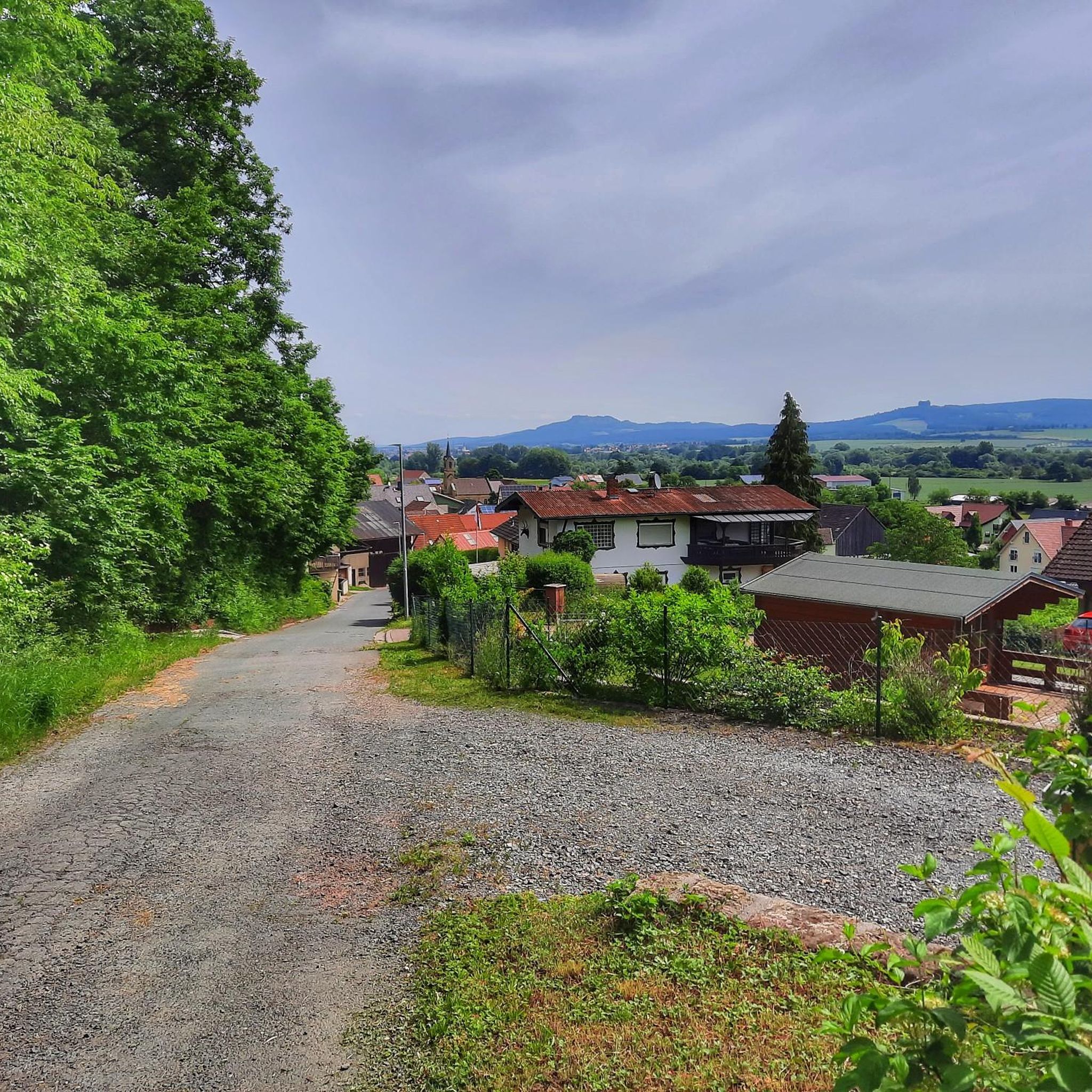
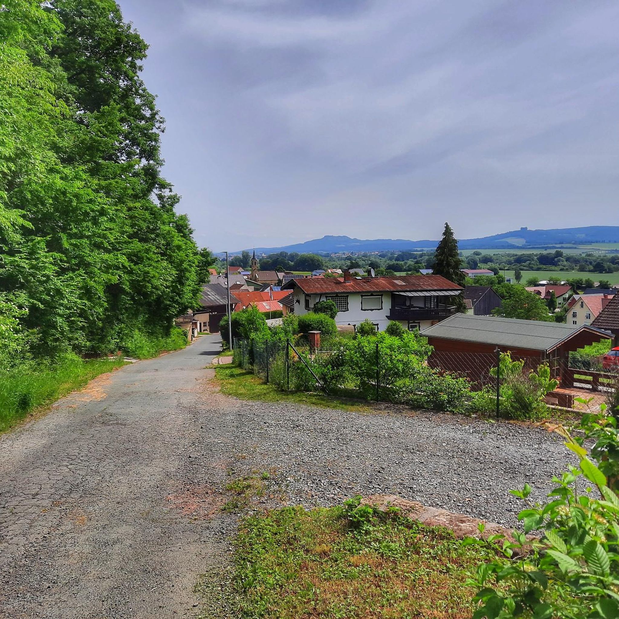
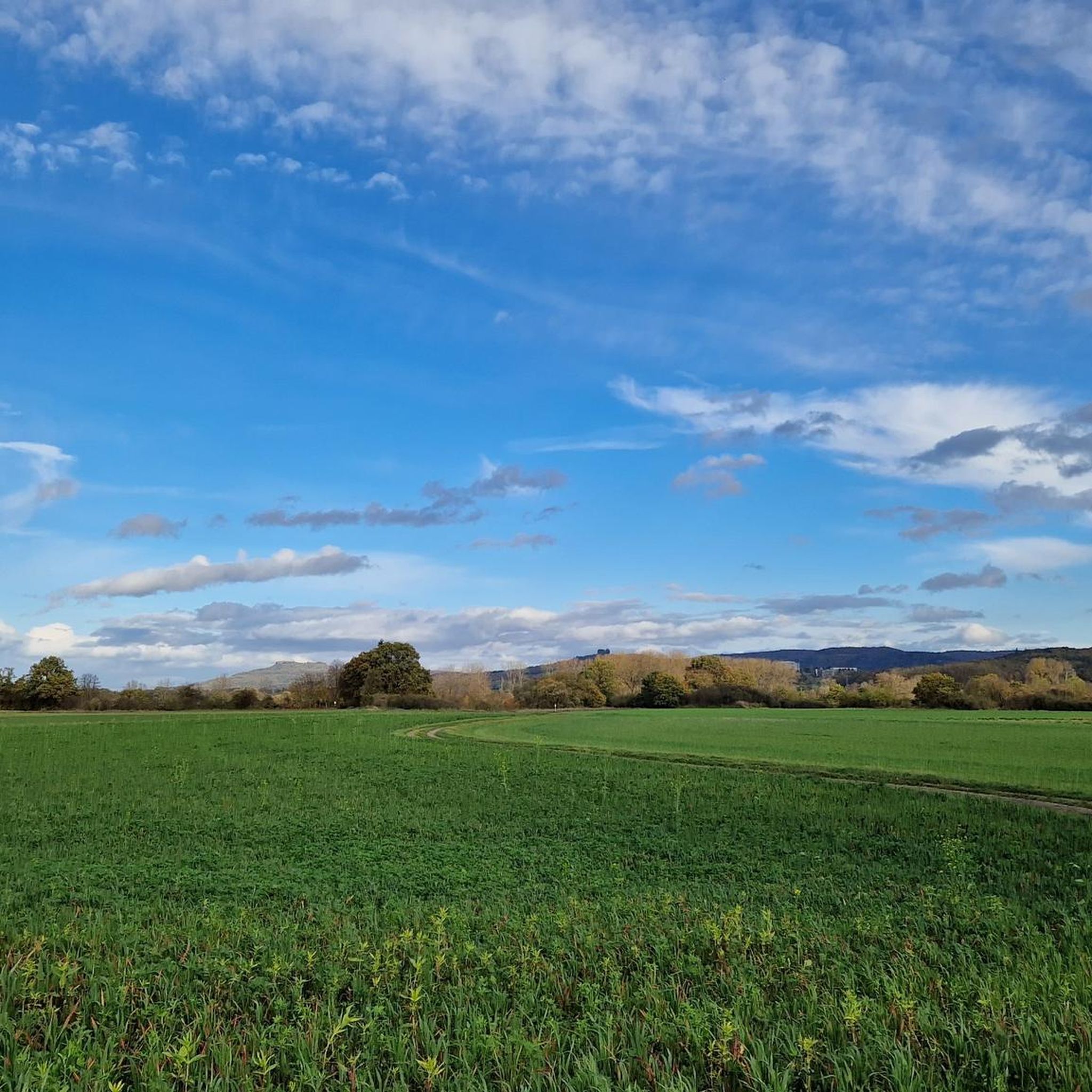
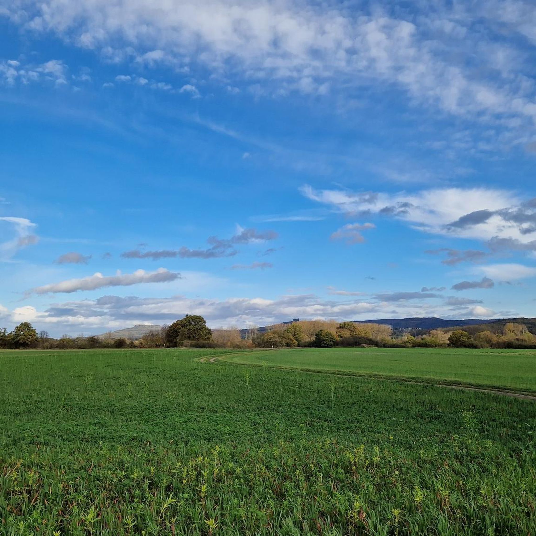

Tips from the Community


Great bike path between Ebensfeld and Unterleiterbach on the former B 173. The entrance via the roundabout near Ebensfeld isn't ideal in my opinion. That's why I always drive through the roundabout with cars and only then onto the bike path. The bike path is better in the other direction. Further west, there's a nice right/left chicane to keep you from falling asleep. 😊
2
0
The Roman Catholic parish church of the Annunciation of Mary is a listed church building located in Ebensfeld, a market town in the Lichtenfels district
0
0
Invites you to take a short rest.
5
0
Schönex's old sandstone bridge. Unfortunately, the view of it is obstructed by the new bridge located directly next to it.
5
0

This view says only one thing... vacation!
1
1

Beautiful area. Lots of nature 😍
1
0
Frequently Asked Questions
How many touring cycling routes are available in Breitengüßbacher Forst?
Breitengüßbacher Forst offers a wide selection of touring cycling routes, with over 600 options available. These routes cater to various skill levels, including over 240 easy, nearly 300 moderate, and more than 130 challenging tours.
What kind of scenery will I encounter on the touring cycling routes in Breitengüßbacher Forst?
The routes in Breitengüßbacher Forst are characterized by flat river valleys, particularly along the Main River and its tributaries. You'll experience a mix of open fields, agricultural landscapes, and sections of woodland. Many routes offer scenic views of distant hills like Staffelberg and pass through charming historic villages with traditional architecture.
Are there easy touring cycling routes suitable for beginners or families in Breitengüßbacher Forst?
Yes, Breitengüßbacher Forst is well-suited for beginners and families, with over 240 easy routes. Many of these follow the flat river valleys. A great option is the Rattelsdorf Historic Gatehouse – View of the Main River loop from Rattelsdorf, an easy 10.2-mile (16.4 km) trail offering views of the Main River and historical points of interest.
Are there any challenging touring cycling routes in Breitengüßbacher Forst?
While the region is known for its gentle terrain, there are over 130 routes rated as difficult for those seeking more of a challenge. These routes might include more significant climbs or longer distances, often venturing into the slightly more undulating areas away from the immediate river plains.
Can I find circular touring cycling routes in Breitengüßbacher Forst?
Yes, many of the touring cycling routes in Breitengüßbacher Forst are designed as loops, allowing you to start and end at the same point. For example, the Oxbow lakes and Main river bend – View of Staffelberg loop from Breitengüßbacher Forst is an easy 17.4-mile (27.9 km) circular path exploring natural landscapes and offering distant views of Staffelberg.
What do other touring cyclists enjoy most about the routes in Breitengüßbacher Forst?
The touring cycling routes in Breitengüßbacher Forst are highly rated by the komoot community, with an average score of 4.5 stars from over 3,500 reviews. Over 18,000 touring cyclists have explored the area, often praising the varied terrain, the scenic river views, and the opportunity to pass through charming villages.
What historical sites or natural landmarks can I see along the touring cycling routes?
The region offers several interesting landmarks. You can explore various castles, such as Unterleiterbach Castle or the ruins of Burgstall Steglitz. The prominent Staffelberg is a notable viewpoint, often visible from routes, and features the Adelgundis Chapel and the Querkeles Cave.
Are the touring cycling routes in Breitengüßbacher Forst dog-friendly?
Many of the touring cycling routes, especially those along river paths and through open landscapes, are suitable for cycling with dogs. Always keep your dog on a leash, especially near agricultural areas, wildlife, or other cyclists and pedestrians. Ensure you carry enough water for both yourself and your dog, as water sources may not always be readily available.
How can I access the touring cycling routes by public transport?
Breitengüßbach is well-connected by regional train services, making it a convenient starting point for many routes. Local bus services also operate in the surrounding villages. It's advisable to check the specific train and bus schedules and bicycle transport policies of the local public transport providers before your trip.
Where can I find parking for touring cyclists in Breitengüßbacher Forst?
Parking is generally available in the larger towns and villages that serve as common starting points for routes, such as Breitengüßbach, Rattelsdorf, or Ebensfeld. Look for designated public parking areas, often near train stations or town centers. Always check local signage for any parking restrictions or fees.
What is a good route for experiencing varied rural landscapes?
For a route that takes you through diverse rural scenery, consider the Alley cycle path near Medlitz – Leucherhof Bridge loop from Rattelsdorf. This moderate 16.2-mile (26.1 km) trail leads through varied agricultural and wooded landscapes, offering a good sense of the region's character.
Are there routes that offer views of the prominent Staffelberg?
Yes, several routes provide excellent views of the Staffelberg. The Cycle Path to Ebensfeld – View of Staffelberg loop from Unterleiterbach is an easy 23.4-km (14.5-mile) route that specifically highlights views of this iconic hill.
Most popular routes around Breitengüßbacher Forst
Most popular attractions around Breitengüßbacher Forst

Get inspired with the komoot mobile app


Explore more
Browse the best Cycling routes in other regions.
