The best walks and hikes around Tierga
5.0
(3)
41
hikers
16
hikes
Hiking around Tierga offers exploration through diverse natural landscapes within the region of Aragón, Spain. The area is characterized by serene forests, historical routes, and picturesque river features. Its location in the Province of Zaragoza provides varied terrain, including natural woodlands, pine forests, and scrubland, suitable for different hiking experiences. The region's topography includes hills and valleys, contributing to a range of trail difficulties.
Best hiking trails around Tierga
- The most popular hiking route is Mirador de la Ermita de…
Last updated: July 2, 2026
5
hikers
Moderate hike. Good fitness required. Easily-accessible paths. Suitable for all skill levels.
5.0
(1)
3
hikers
14.1km
05:04
840m
840m
Hard hike. Very good fitness required. Mostly accessible paths. Sure-footedness required.

Sign up for free
5.0
(1)
2
hikers
Hard hike. Very good fitness required. Easily-accessible paths. Suitable for all skill levels.
7
hikers
8.48km
02:18
110m
110m
Moderate hike. Good fitness required. Easily-accessible paths. Suitable for all skill levels.
2
hikers
12.2km
03:47
450m
450m
Moderate hike. Good fitness required. Easily-accessible paths. Suitable for all skill levels.
Get access to more routes and recommendations from other explorers.
Sign up for free
Already have an account?
Our route recommendations are based on thousands of hikes, rides, and runs completed by other people on komoot.
Start today with a free account
Your next adventure awaits.
Login or Signup


Other adventures around Tierga

Tips from the Community

The Peñas del Cabo Caves are located on the western cliffs of the Peñas del Cabo, near Calcena, in the province of Zaragoza, Aragon. These caves are known for their impressive geological structure and speleothems, such as stalactites, stalagmites and flowstones. One of the most popular caves is the Cueva Honda, which has been used as a shelter for livestock and has housed archaeological remains from the Neolithic period. In addition, the cave is an important refuge for bat colonies during the summer. The caves offer a unique experience for caving and nature lovers.😊
4
0
The Mirador de la Ermita de San Cristóbal is located in the municipality of Los Fayos, in the province of Zaragoza, Aragon. This viewpoint offers spectacular views of the Queiles River Valley and the surrounding area, including the Val reservoir. The San Cristóbal hermitage, located next to the viewpoint, is a place of great historical and cultural interest. Built in the 17th century, the hermitage is an example of religious architecture in the region. Access to the viewpoint and the hermitage can be made through several hiking routes that run through the area, offering the opportunity to enjoy nature and panoramic views.
4
0

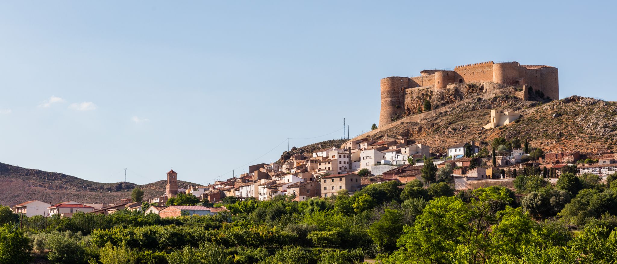
From this point, on the outskirts of Calcena, you have a good view of the whole town with its traditional houses and its magnificent natural environment.
2
0

A charming place with a lot of history is the one that we find perched on top of the rock in the town of Illueca. It is the Castle - Palace of Pope Luna (who was born here) that stands out from afar. They make very interesting guided tours (prior reservation) based on the history of the palace itself and of Papa Luna. There is restaurant and hotel service
2
0
Church of the town of Tabuenca located at the top of the municipality with a beautiful façade next to the staircase. Gothic-Mudejar style from the 16th century with important Baroque reforms during the 18th century.
1
0
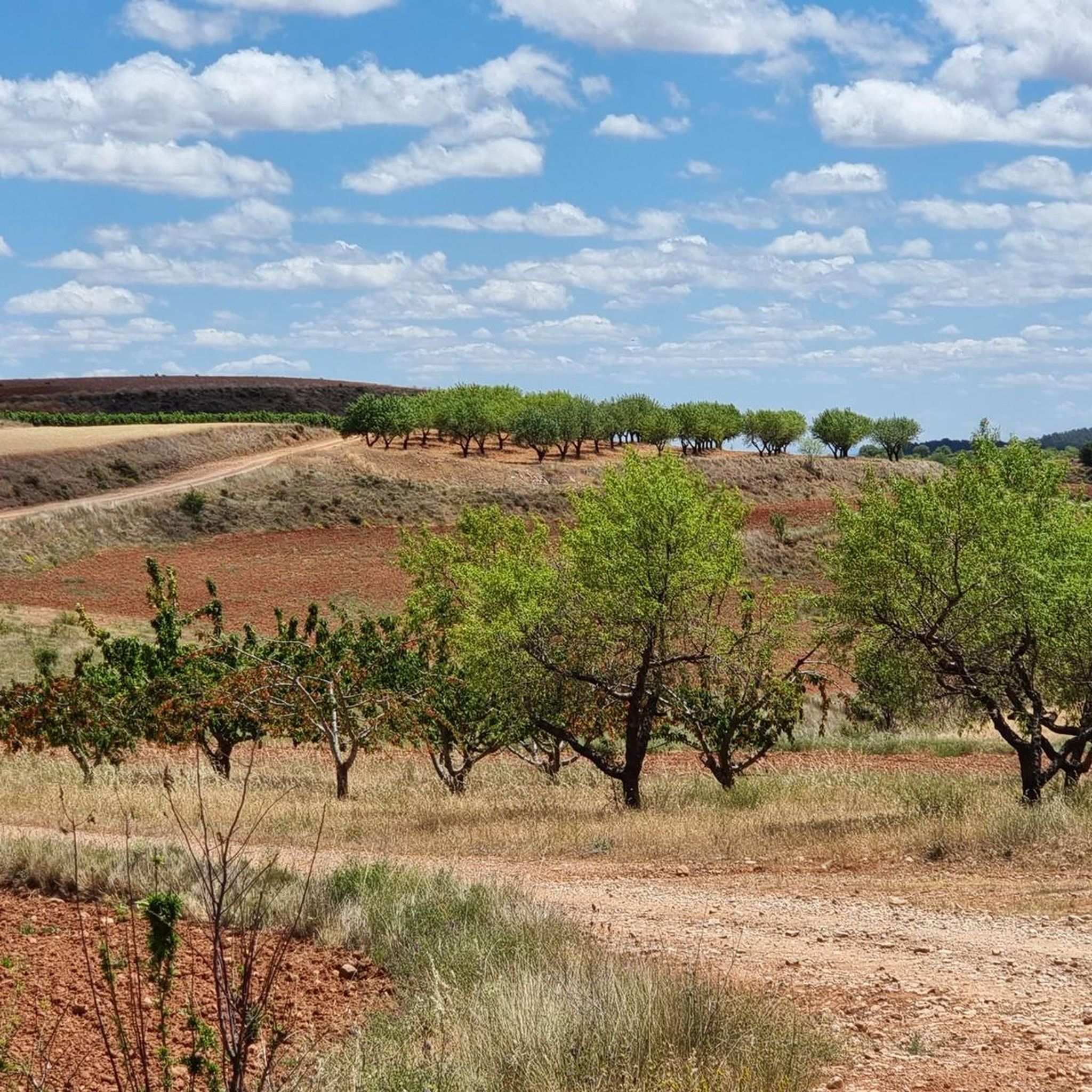
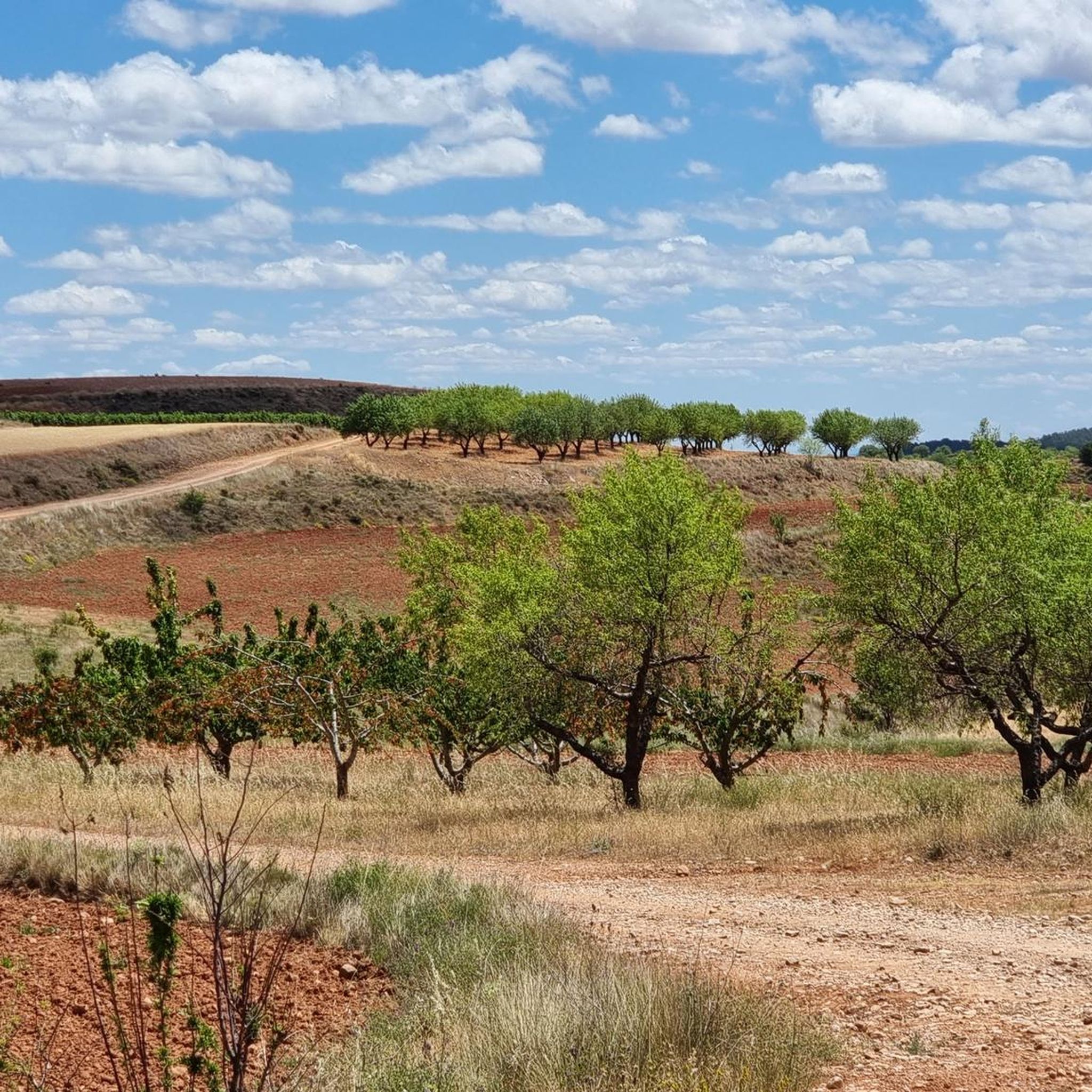
Beautiful picture that the almond fields give us (during the spring season) and the town of Calcena in the background that will surely make us take out the camera to photograph.
1
1
At this point we find ourselves in the Valdeplata ravine, a really beautiful and well-equipped path with wooden walkways so as not to get our feet wet, it will accompany us during the ravine. It is well marked
1
0
At this point we find the Valdeplata Mines in the homonymous ravine, dating from the end of the 16th century and the beginning of the 17th century. They concentrated on the extraction of silver but fell into decline after the expulsion of the Moors from the Iberian Peninsula in 1610.
1
0
Frequently Asked Questions
How many hiking trails are available around Tierga?
There are 15 hiking routes available around Tierga, offering a variety of experiences. These include 10 moderate trails and 5 more challenging routes, catering to different fitness levels.
What kind of terrain can I expect on hikes near Tierga?
Hiking around Tierga offers diverse terrain, from serene forests like the 'Bosque mágico de Tierga' to historical paths and picturesque river features. You'll encounter natural woodlands, pine forests, scrubland, and potentially ancient oak groves, with varied topography including hills and valleys characteristic of the Zaragoza province.
Are there any circular hiking routes available in the area?
Yes, there are several circular routes. For example, the Mirador de la Ermita de San Cristobal from Calcena — circular by Penas del Cabo is a moderate 5.3-mile loop. Another option is the longer Calcena - Trasobares - Barranco de Valdeplata - Calcena — circular by the Moncayo Natural Park, which is a difficult 16.5-mile trail.
Are the hiking trails around Tierga suitable for families?
While there are no specifically designated 'easy' trails, many of the moderate routes can be suitable for families with some hiking experience. The diverse landscapes, including forests and river features, offer engaging environments for children. Always check the distance and elevation gain for specific routes to ensure they match your family's capabilities.
Can I bring my dog on the trails in Tierga?
Generally, dogs are welcome on hiking trails in natural areas around Tierga. However, it's always advisable to keep your dog on a leash, especially in areas with wildlife or livestock, and to check for any specific local regulations or protected areas that might have restrictions. Please ensure you clean up after your pet.
What natural attractions can I discover while hiking near Tierga?
The region offers several natural highlights. You can explore the Peñas del Cabo Caves, or visit the Fuente del Gollizno. The wider Zaragoza province also features impressive river gorges and ravines, contributing to a rich natural environment.
Are there any viewpoints or scenic spots on the trails?
Yes, many trails offer scenic views. The Mirador de la Ermita de San Cristobal from Calcena route, for instance, provides views towards the Ermita de San Cristobal. Additionally, summits like Pico Cabrera (1,433 m) – Sierra de la Virgen and Peña del Café offer panoramic vistas of the surrounding landscape.
What is the best time of year to go hiking in Tierga?
The best time for hiking in Tierga is typically during spring (April-June) and autumn (September-November) when temperatures are milder and the natural scenery is vibrant. Summers can be hot, making early morning or late afternoon hikes preferable, while winters can offer a different, quieter experience, though some higher elevation trails might be affected by snow or colder conditions.
What do other hikers enjoy most about hiking in Tierga?
The komoot community highly rates the hiking experiences in Tierga, with an average score of 5.0 stars. Hikers often praise the varied terrain, from serene forests to historical paths, and the sense of exploration offered by the region's diverse natural landscapes.
Are there any historical sites or landmarks to see near the trails?
Yes, the region has historical significance. You can visit the Sanctuary of Rodanas, a religious building of interest. The area is also part of historical routes, such as the 'Etapa 4: Calcena - Tierga' trail, which connects to the wider hiking network of Aragón.
How long do hikes around Tierga typically take?
Hike durations vary significantly depending on the route's length and difficulty. For example, a moderate route like Mirador de la Ermita de San Cristobal from Calcena takes approximately 2 hours 38 minutes. More challenging and longer trails, such as the Papa Luna Route, can take around 5 hours 3 minutes to complete.
Most popular attractions around Tierga

Get inspired with the komoot mobile app


Explore more
Browse the best Hikes in other regions.
