The best walks and hikes around Uchter Moor
4.6
(779)
2,513
hikers
27
hikes
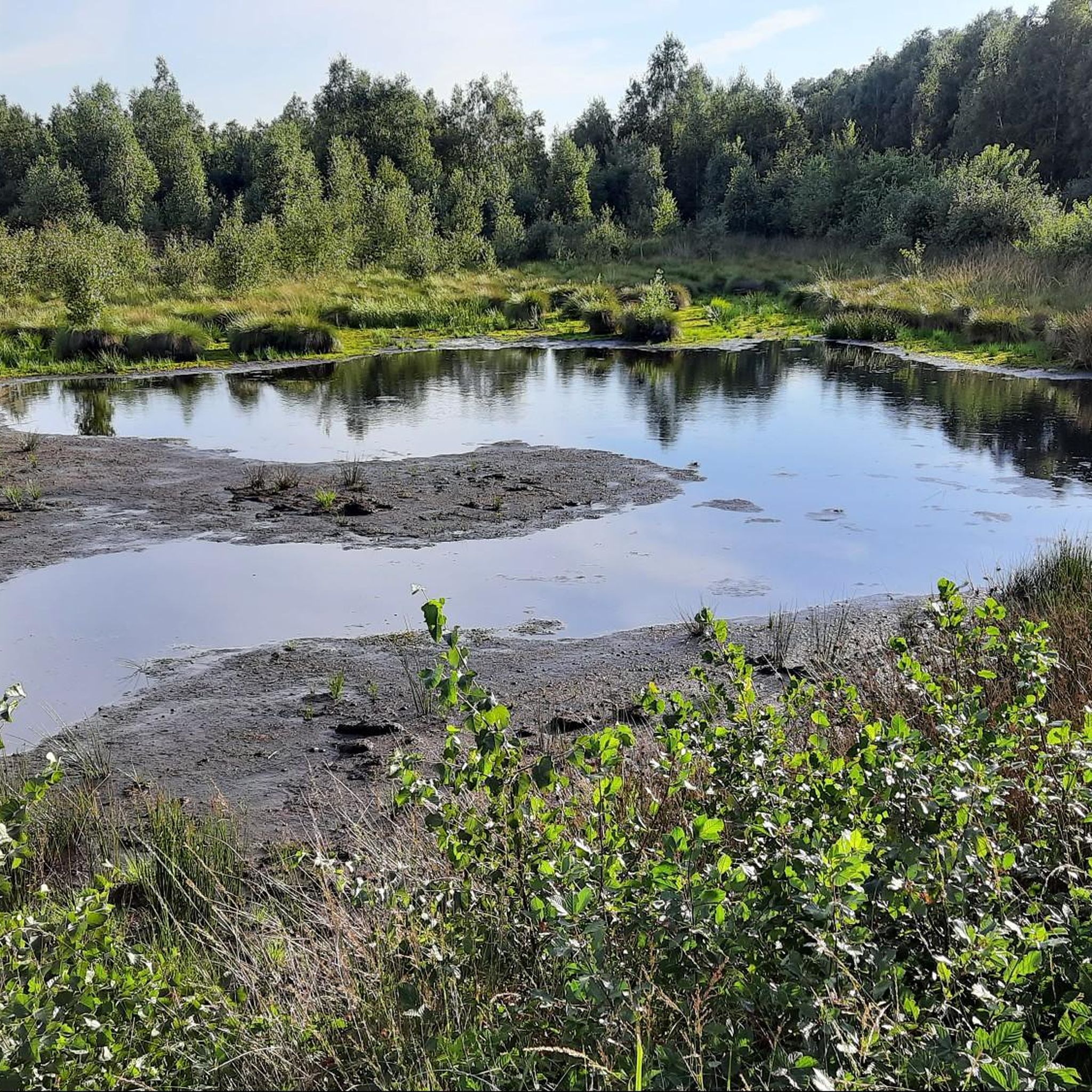
Hiking around Uchter Moor offers trails through an expansive moorland, characterized by centuries of peat formation and ongoing rewetting efforts. The region is part of a lowland plain, featuring a mosaic of habitats including open bog, meadows, and forest sections. An observation tower provides panoramic views of the landscape, allowing visitors to appreciate the scale of the moor. This unique environment provides varied terrain for outdoor activities.
Best hiking trails around Uchter Moor
- The most popular hiking route is Uchter…
Last updated: July 9, 2026
4.8
(35)
103
hikers
Moderate hike. Good fitness required. Easily-accessible paths. Suitable for all skill levels.
4.8
(18)
50
hikers
Moderate hike. Good fitness required. Easily-accessible paths. Suitable for all skill levels.

Sign up for free
4.8
(14)
42
hikers
Easy hike. Great for any fitness level. Easily-accessible paths. Suitable for all skill levels.
4.6
(7)
18
hikers
Moderate hike. Good fitness required. Easily-accessible paths. Suitable for all skill levels.
4.4
(5)
18
hikers
Moderate hike. Good fitness required. Easily-accessible paths. Suitable for all skill levels.
Get access to more routes and recommendations from other explorers.
Sign up for free
Already have an account?
Our route recommendations are based on thousands of hikes, rides, and runs completed by other people on komoot.
Start today with a free account
Your next adventure awaits.
Login or Signup
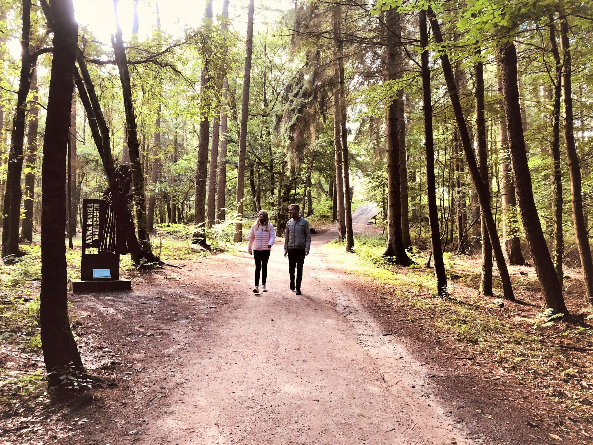
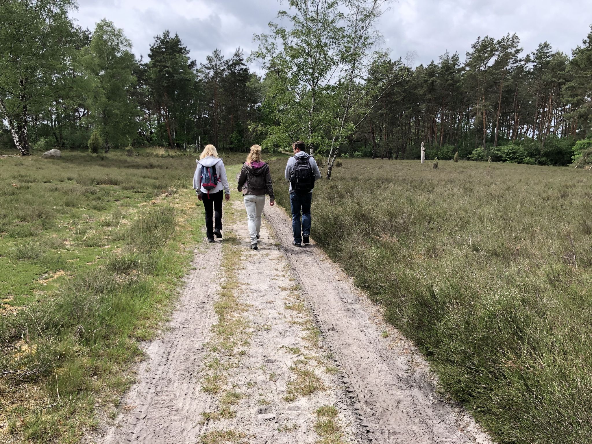
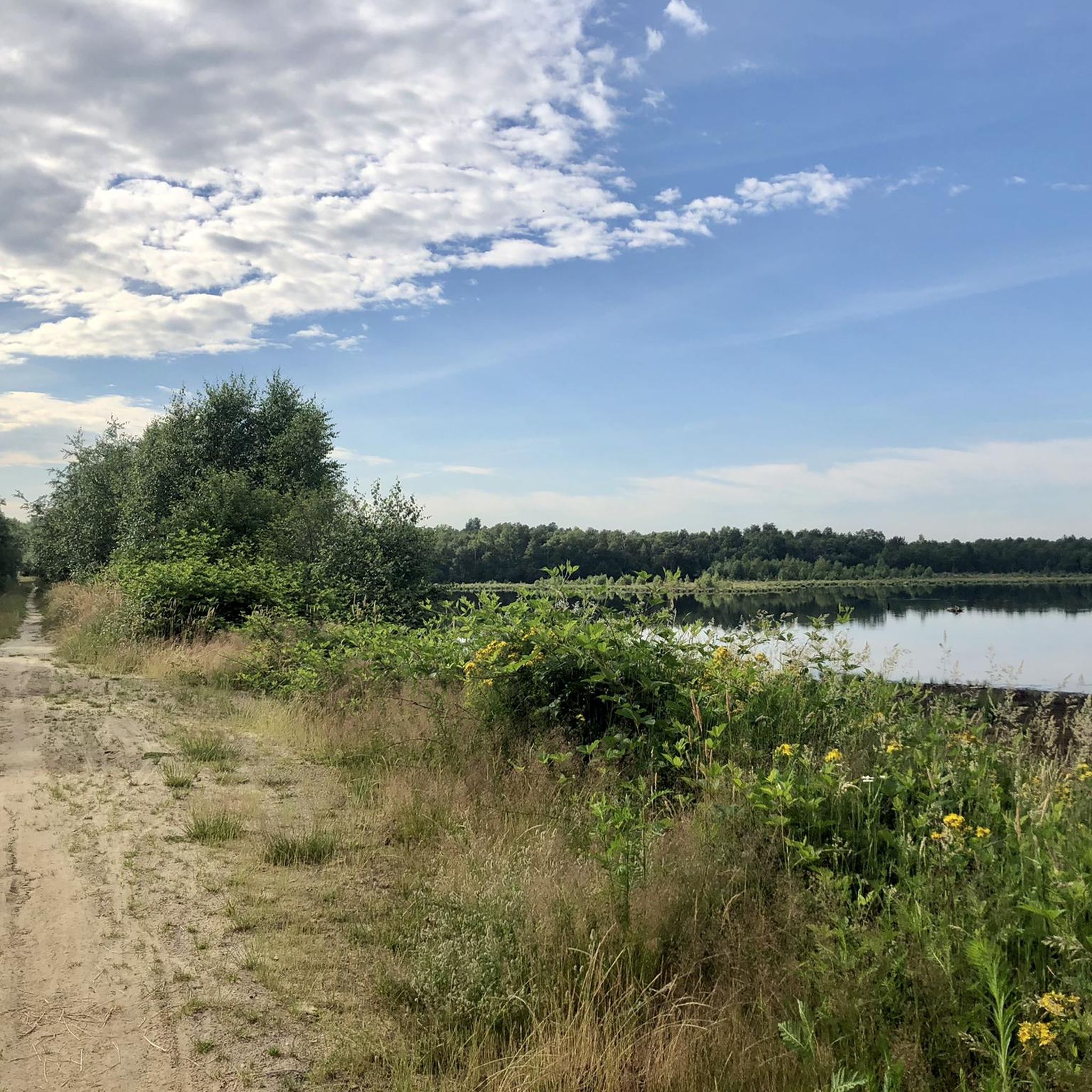
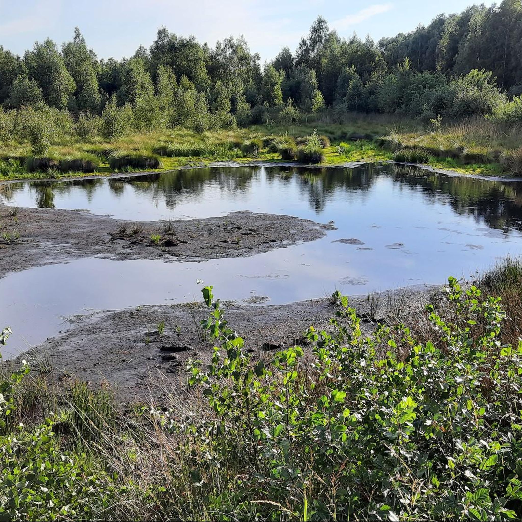



Tips from the Community

A nice resting place, parking spaces are also available.
0
0
The small campsite is the ideal starting point for a visit to the moor.
0
0
How about a ride on the moor railway? It normally runs on weekends. I can recommend it.
0
0
The beautiful campsite Moorcamp is the ideal starting point for a visit to the Großen Uchter Moor.
0
0

Idyllically located campsite in a picturesque landscape on the edge of the Großes Moor nature reserve. (Birkenbusch 50, 31606 Warmsen, Tel. (05767) 9438 655, E-Mail: info@moorcamp.de ). Season is from April to October. The access from the center of Warmsen is signposted. More info at: www.moorcamp.de !
0
0
It's the Warmsen barbecue hut! Always a nice destination for cyclists. 😊🚴♂️🚴♀️But when it's warm and windless, mosquitoes are often a nuisance. I like it there when there's a light breeze.
0
0
The Grillhütte Warmsen, right on the southern edge of the Großen Moores, is always a beautiful destination for cyclists! You can take a good break here and often meet nice and interested people. And if you are alone, you can experience the silence and the vibrant diversity of nature with all your senses. I love ❤📸🍀🌞 this place, even if I have to cycle over 100 kilometers back and forth without an electric motor.🚴♂️🚴♀️‼️
0
0

Frequently Asked Questions
How many hiking trails are available in Uchter Moor?
Uchter Moor offers a diverse network of 28 hiking trails. These routes cater to various preferences, with 14 classified as easy and 14 as moderate, ensuring options for different fitness levels.
What kind of terrain can I expect when hiking in Uchter Moor?
The terrain in Uchter Moor is characterized by its expansive moorland, a result of centuries of peat formation. You'll encounter a mosaic of habitats, including open bog, rewetting areas, meadows, and sections of forest. The area is part of a lowland plain, so trails generally have minimal elevation changes.
Are there any family-friendly hiking options in Uchter Moor?
Yes, Uchter Moor is well-suited for family outings. Many of the trails are relatively flat and offer engaging natural surroundings. The presence of the Uchter Moor Observation Tower and the Uchter Moor Peat Railway provides additional points of interest that can make a hike more exciting for children.
Can I bring my dog on the hiking trails in Uchter Moor?
Generally, dogs are welcome on the hiking trails in Uchter Moor. However, as it is a nature reserve, it's important to keep dogs on a leash to protect the local wildlife and delicate ecosystems, especially in areas undergoing rewetting or near nesting birds.
Are there any circular hiking routes in Uchter Moor?
Yes, Uchter Moor features several circular hiking routes, perfect for exploring the area without retracing your steps. One notable example is the Rundwanderweg Großes Uchter Moor, which offers a comprehensive experience of the moorland landscape.
What are the main attractions or landmarks to see along the hiking trails?
Hikers can enjoy several unique attractions. The Uchter Moor Observation Tower offers panoramic views of the vast moorland. You can also visit the Uchter Moor Peat Railway and Peat Works for a glimpse into the area's industrial history, or explore the Discovery Site of the Moora Bog Body, which adds a fascinating archaeological dimension.
Is there parking available near the trailheads in Uchter Moor?
Yes, there are designated parking areas available at various starting points around Uchter Moor, making it convenient for hikers arriving by car. Specific parking locations can often be found near popular access points or information centers like the 'Tor zum Moor' in Essern.
What is the best time of year to go hiking in Uchter Moor?
Uchter Moor offers unique experiences throughout the year. Spring brings new growth and birdlife, while summer provides longer daylight hours. Autumn showcases beautiful colors, and winter can transform the landscape into a serene, frosty wonderland. The ongoing rewetting efforts mean the landscape is dynamic, offering different views in each season.
What do other hikers enjoy most about hiking in Uchter Moor?
The area is highly rated by the komoot community, with an average score of 4.7 stars from over 470 reviews. Reviewers often praise the unique, expansive moorland scenery, the tranquility of the trails, and the opportunity to observe the diverse ecosystems and rewilding efforts. The Observation Tower is frequently highlighted for its stunning views.
Are there any longer, more challenging hikes in Uchter Moor?
While Uchter Moor is generally a lowland area, some routes offer a longer duration, providing a more extended hiking experience. For example, the Moor Railway Uchter Moor – Lake in the Uchter Moor loop from Plengenhäusen covers over 10 kilometers, offering a moderate challenge through varied sections of the moor.
Can I reach Uchter Moor by public transport for hiking?
While direct public transport access to every trailhead might be limited, the 'Tor zum Moor' information center in Essern often serves as a good starting point and may be accessible via local bus services. It's advisable to check regional public transport schedules for the most current information on reaching the area.
What is the Uchter Moorbahn and can I experience it?
The Uchter Moorbahn is a unique moor railway that offers a special way to experience parts of the moorland, particularly areas where a peat factory still operates a field railway. It starts from the 'Tor zum Moor' information center and provides a different perspective on the landscape and its historical use.
Most popular routes around Uchter Moor
Most popular attractions around Uchter Moor

Get inspired with the komoot mobile app


Explore more
Browse the best Hikes in other regions.
