The best walks and hikes around Dam Spremberg
4.6
(522)
2,584
hikers
367
hikes
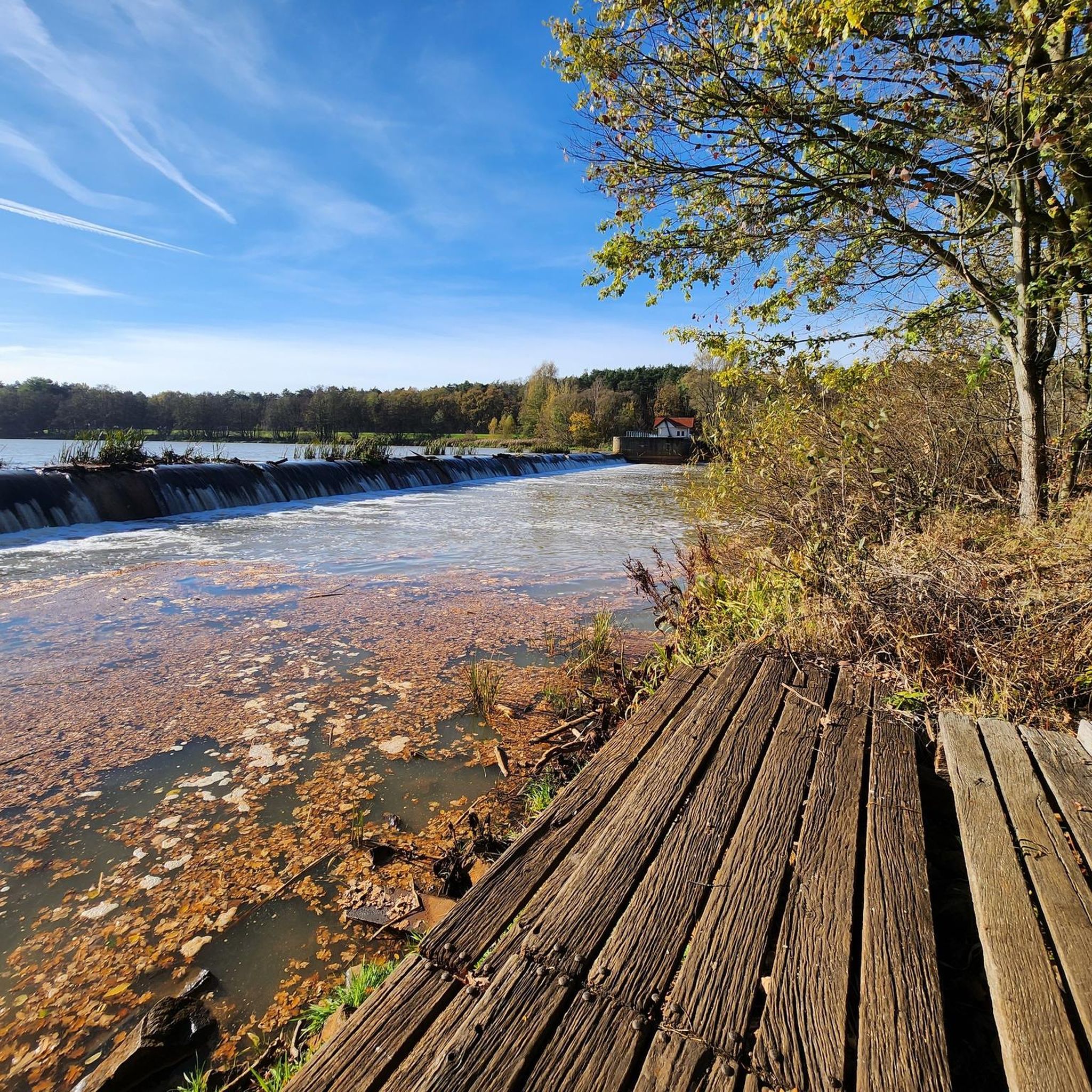
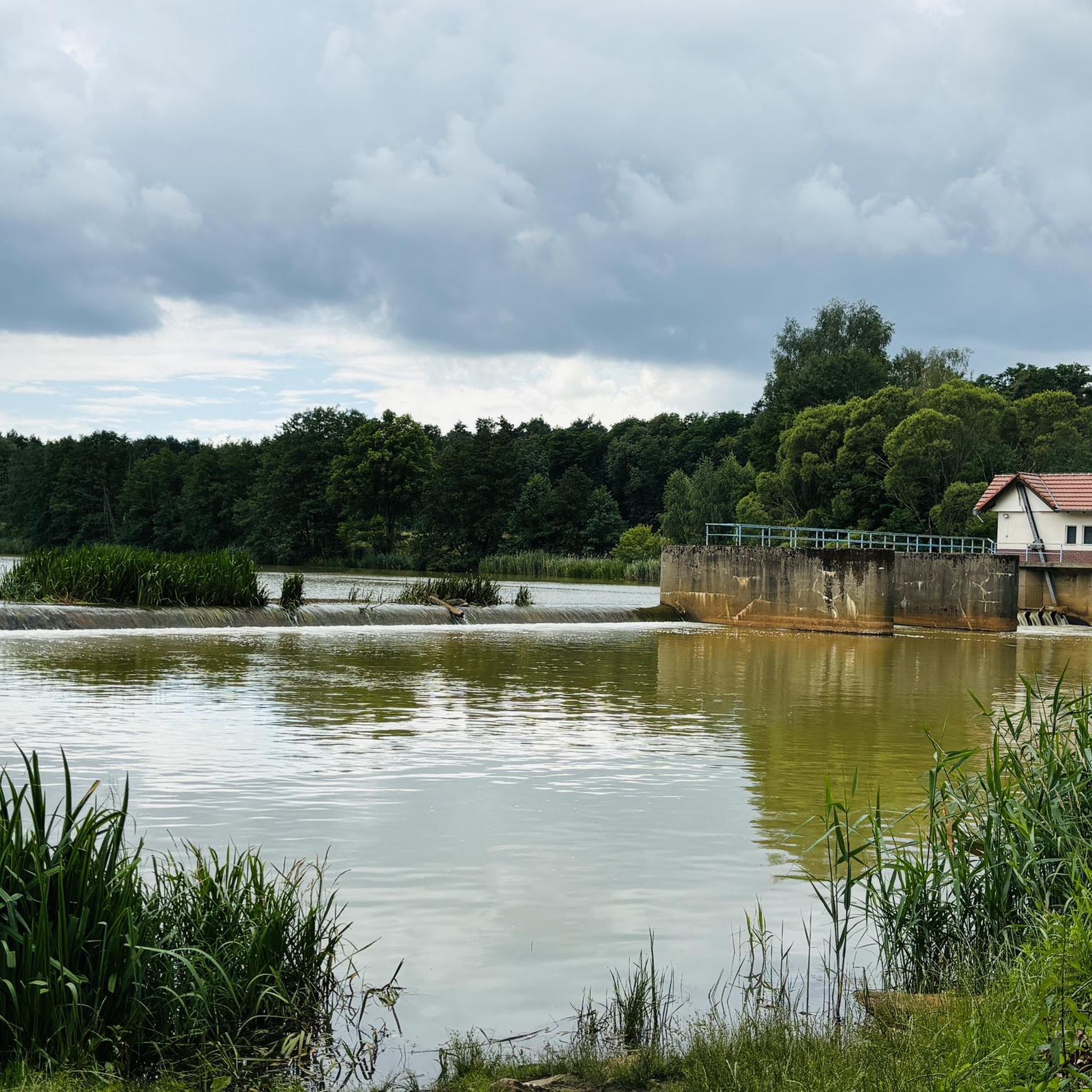
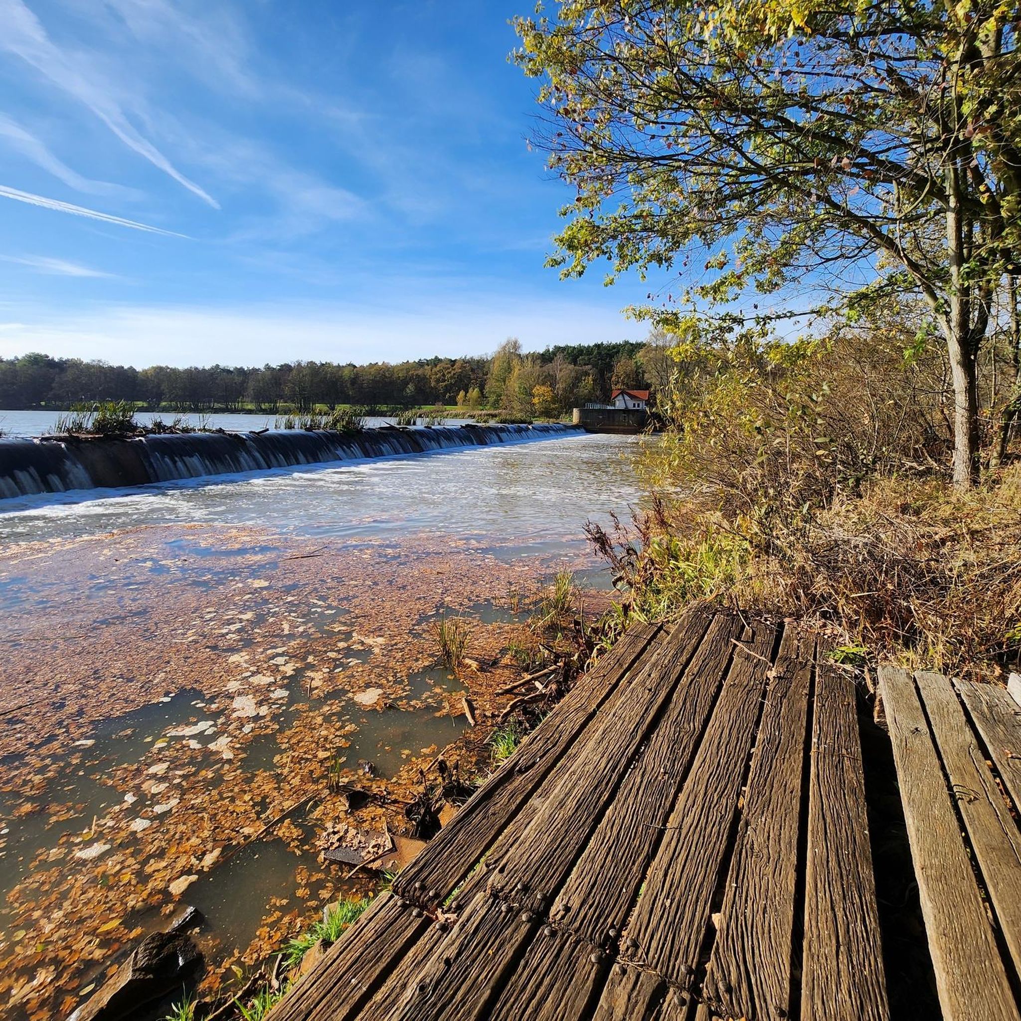
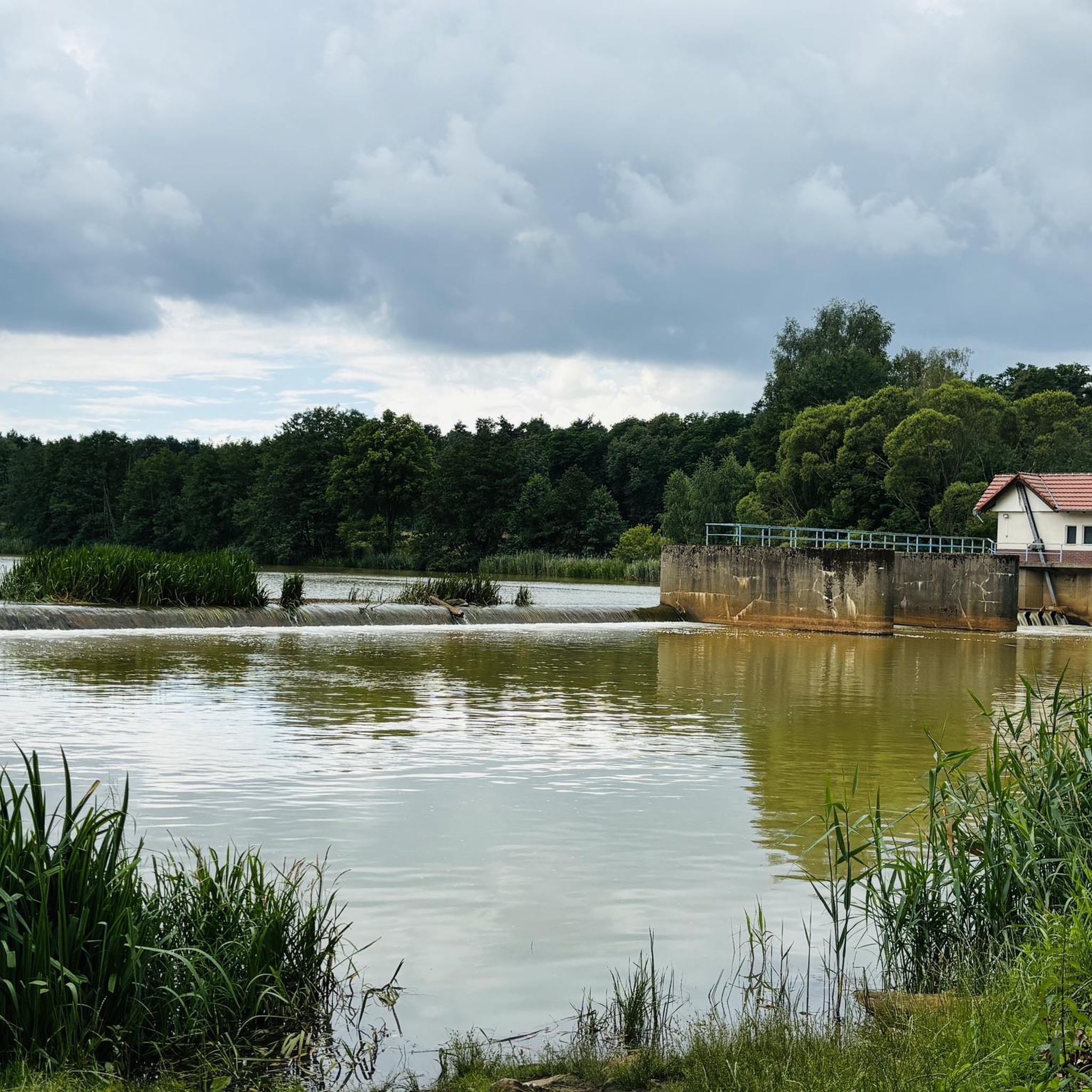
Hiking around Dam Spremberg offers diverse natural features in Brandenburg, Germany, characterized by dense forests, expansive green areas, and the Spremberger Stausee (Spremberg Reservoir). This region, located between Cottbus and Spremberg, is a protected landscape and nature reserve, encompassing various wetland biotopes. The terrain primarily features gentle elevation changes, making it accessible for a range of hiking abilities.
Best hiking trails around Dam Spremberg
- The most popular hiking route is Neuhausen Castle – Neuhausen Bypass Weir loop from Bagenz -…
Last updated: August 21, 2026
4.9
(9)
24
hikers
Moderate hike. Good fitness required. Easily-accessible paths. Suitable for all skill levels.
4.5
(2)
13
hikers
5.63km
01:26
10m
10m
Easy hike. Great for any fitness level. Easily-accessible paths. Suitable for all skill levels.

Sign up for free
4.3
(3)
19
hikers
Easy hike. Great for any fitness level. Easily-accessible paths. Suitable for all skill levels.
4.0
(5)
15
hikers
Easy hike. Great for any fitness level. Easily-accessible paths. Suitable for all skill levels.
5.0
(2)
21
hikers
Easy hike. Great for any fitness level. Easily-accessible paths. Suitable for all skill levels.
Get access to more routes and recommendations from other explorers.
Sign up for free
Already have an account?
Our route recommendations are based on thousands of hikes, rides, and runs completed by other people on komoot.
Start today with a free account
Your next adventure awaits.
Login or Signup
Tips from the Community

The cycle path network between the Spree and the Lusatian Neisse is one of the densest and most comfortable in all of Brandenburg. It covers more than 1000 km. Here, cyclists can experience the wonderful landscape of the Spreewald, far from busy roads, the river valleys of the Spree and the Lusatian Neisse, the Schlaubetal Nature Park, and the unique geological features of the UNESCO GLOBAL Geopark Muskauer Faltenbogen, which are unique in Europe. The cycle path network is easy to navigate with the help of the numbered junction signs. The junction number is at the top of each sign. Below the destination information, there are small inserts with the surrounding junction numbers. This allows you to quickly plan your individual tour using the maps and information boards and then cycle comfortably "by numbers" from junction to junction. https://www.lkspn.de/tourismus/radwandern/radwegenetz.html Of course, also helpful for pedestrians.
0
0
Mobile and stationary water treatment plants: LMBV (Lausitzer und Mitteldeutsche Bergbau-Verwaltungsgesellschaft) operates several plants that intercept and filter iron-laden water - measures against the "brown" Spree.
0
0
Located next to the Hotel Waldhütte. The beach is just a few hundred meters away. An ideal starting point for hikes and bike tours. Ample space is available for loading and unloading bicycles. A day ticket currently costs €6.00 (car).
0
0

It's a beautiful reservoir.
1
0
You shouldn't climb the tower anymore, it's now very dilapidated :-(
2
0

Good that such a board exists
0
0
Thank you very much for the detailed information
0
0
It is a good place for hiking
0
0
Frequently Asked Questions
What kind of landscape can I expect when hiking around Dam Spremberg?
The area around Dam Spremberg is characterized by diverse natural features, including dense forests, expansive green areas, moors, and various bodies of water, most notably the Spremberger Stausee (Spremberg Reservoir). It is a protected landscape and nature reserve, offering a tranquil setting for nature exploration.
How many hiking trails are available around Dam Spremberg?
There are over 380 hiking routes available around Dam Spremberg. These trails cater to various preferences, with a good mix of easy and moderate options, ensuring there's something for every hiker.
What is the general difficulty level of hiking trails around Dam Spremberg?
The majority of hiking trails around Dam Spremberg are considered easy to moderate. Out of over 380 routes, 218 are easy and 166 are moderate, making the area accessible for a wide range of fitness levels. Only a small number of trails are classified as difficult.
What do other hikers enjoy the most about hiking in Dam Spremberg?
The hiking experience around Dam Spremberg is highly rated by the komoot community, with an average score of 4.6 stars from over 490 reviews. Hikers often praise the tranquil surroundings, the scenic views of the reservoir, and the well-maintained paths that allow for enjoyable walks through forests and along the water.
Are there any circular hiking routes around Dam Spremberg?
Yes, circular routes are very popular in the region. A prominent option is the approximately 19 to 20-kilometer circular trail that encircles the Spremberger Stausee, offering continuous scenic views. For a shorter loop, consider the Neuhausen Castle – Neuhausen Bypass Weir loop from Bagenz - Bageńc, which is 9.5 miles (15.3 km) long.
Are the hiking trails around Dam Spremberg suitable for families?
Many trails around Dam Spremberg are family-friendly, particularly the easy and moderate routes with gentle elevation changes. The area also offers attractions like sandy beaches for swimming and relaxation, and a minigolf course, which can enhance a family outing after a hike.
Can I bring my dog on the hiking trails around Dam Spremberg?
Yes, the natural landscapes around Dam Spremberg are generally welcoming for dogs. Many trails pass through forests and along the reservoir, providing ample space for walks. However, always ensure your dog is kept on a leash, especially in protected nature reserve areas, and be mindful of local regulations.
What are some notable landmarks or viewpoints I can discover while hiking?
Hikers can enjoy several notable landmarks and viewpoints. The Observation Tower at Spremberg Reservoir, located near Klein Döbbern, offers panoramic views over Brandenburg's largest reservoir. You can also find scenic spots like the Cycle path along the east side of the Spremberg Reservoir, which provides continuous views of the water.
Are there opportunities for water sports or swimming after a hike?
Absolutely. The Spremberger Stausee is ideal for various water activities. You'll find several attractive sandy beaches, such as Bagenzer Beach and the Small beach at Spremberg Reservoir, perfect for swimming and relaxation. The reservoir also invites activities like fishing, sailing, and rowing.
What is the best time of year to go hiking around Dam Spremberg?
The Dam Spremberg region is beautiful year-round, but spring and autumn offer particularly pleasant hiking conditions with mild temperatures and vibrant natural colors. Summer is also popular, especially for combining hikes with swimming at the reservoir's beaches. Even in winter, the trails can be enjoyed, offering a serene and quiet experience.
Are there any easy, shorter routes suitable for a quick walk?
Yes, there are many easy and shorter routes. For example, the SpreeCamp Bagenz – Spremberg Reservoir loop from Sellessen - Železna is an easy 3.7 miles (6.0 km) path, typically completed in about 1 hour 31 minutes, offering scenic views of the reservoir. Another option is the Junction 81 – SpreeCamp Bagenz loop from Bagenz - Bageńc, also an easy 3.7 miles (6.0 km) route.
Most popular routes around Dam Spremberg
Most popular attractions around Dam Spremberg

Get inspired with the komoot mobile app


Explore more
Browse the best Hikes in other regions.
