The best walks and hikes around Ribota
4.4
(77)
565
hikers
50
hikes
Hiking around Ribota offers access to the varied landscapes of the Comunidad de Calatayud, a region characterized by rugged mountain ranges, valleys, and diverse terrain. The area features a mix of forests, open spaces, and geological formations, providing a range of natural environments for exploration. These physical features contribute to a network of trails suitable for different hiking preferences.
Best hiking trails around Ribota
- The most popular hiking route is La Chorrera de Pico Jarro Trail, a 3.4 miles…
Last updated: July 1, 2026
5.0
(1)
22
hikers
5.43km
01:38
70m
70m
Hike the moderate La Chorrera de Pico Jarro Trail in Sierra de Ayllón, featuring oak forests and a beautiful waterfall.
5.0
(2)
8
hikers
16.3km
06:39
900m
900m
This difficult 10.1-mile circular hike in Sierra de Ayllón offers stunning views, cultural landmarks, and a challenging ascent to Buitrera p

Sign up for free
5.0
(1)
5
hikers
Hard hike. Very good fitness required. Sure-footedness, sturdy shoes and alpine experience required.
1
hikers
Hard hike. Very good fitness required. Easily-accessible paths. Suitable for all skill levels.
5.0
(1)
13
hikers
Moderate hike. Great for any fitness level. Mostly accessible paths. Sure-footedness required.
Get access to more routes and recommendations from other explorers.
Sign up for free
Already have an account?
Our route recommendations are based on thousands of hikes, rides, and runs completed by other people on komoot.
Start today with a free account
Your next adventure awaits.
Login or Signup
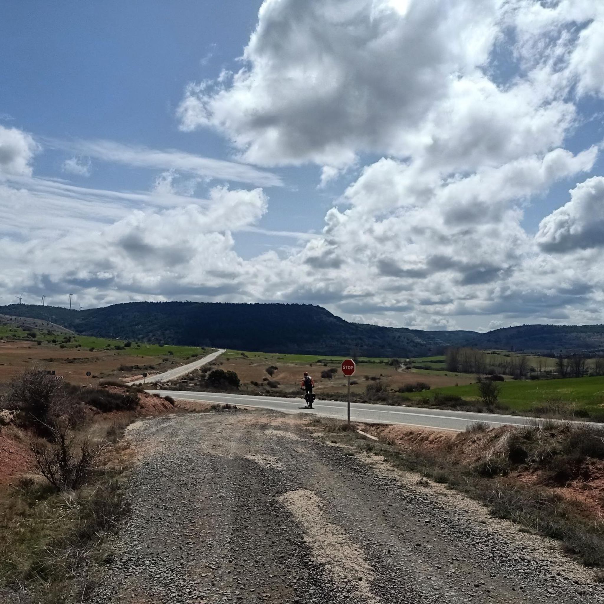
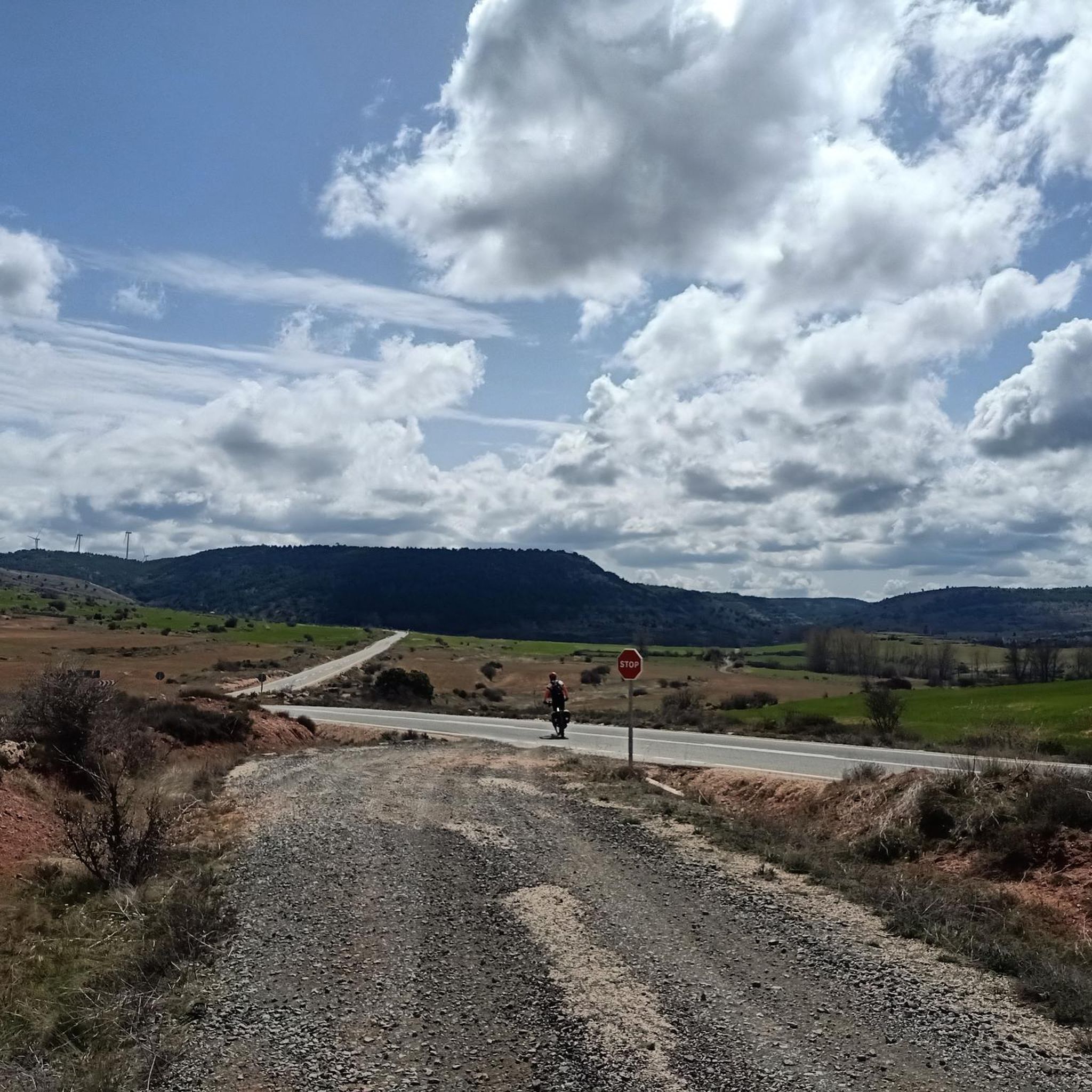
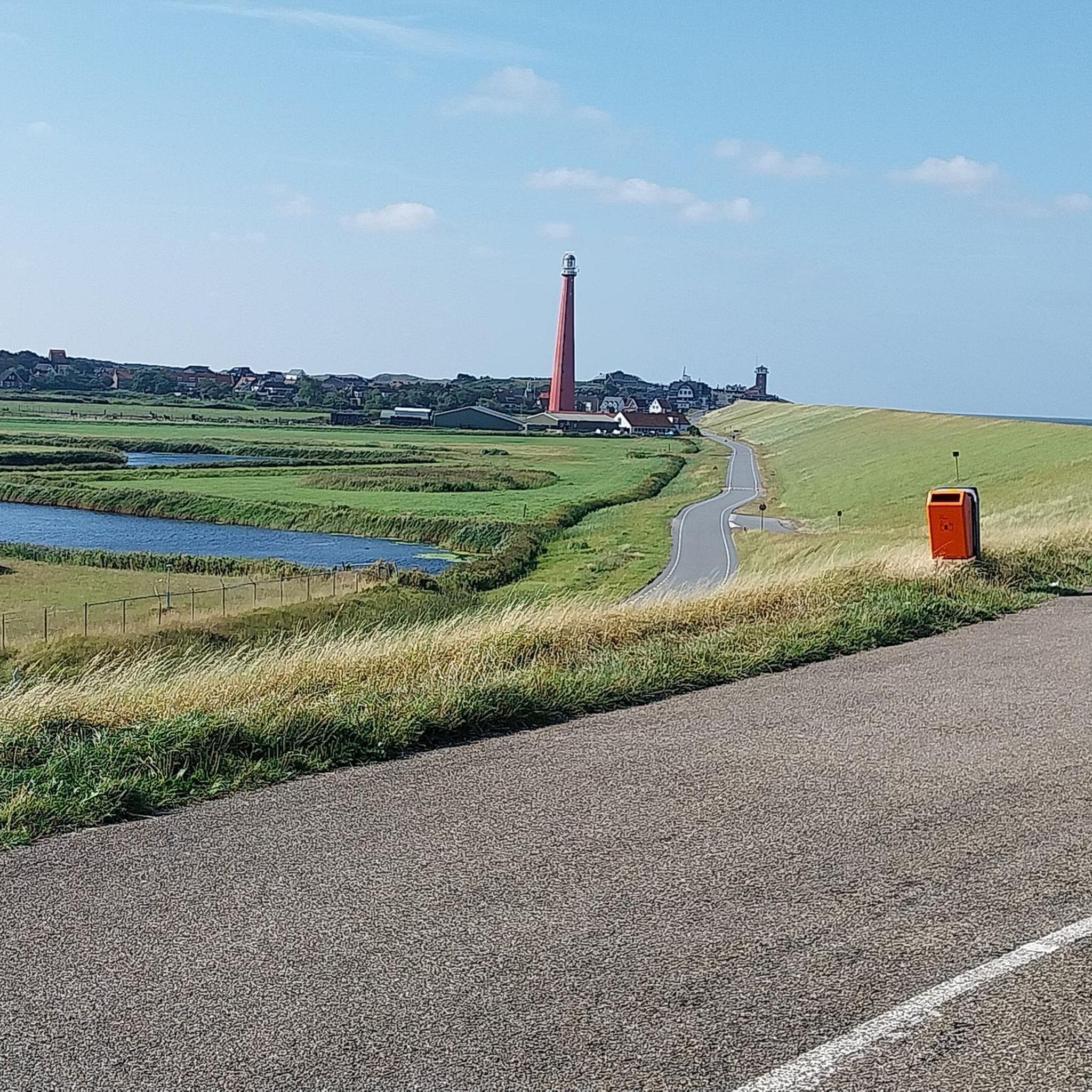
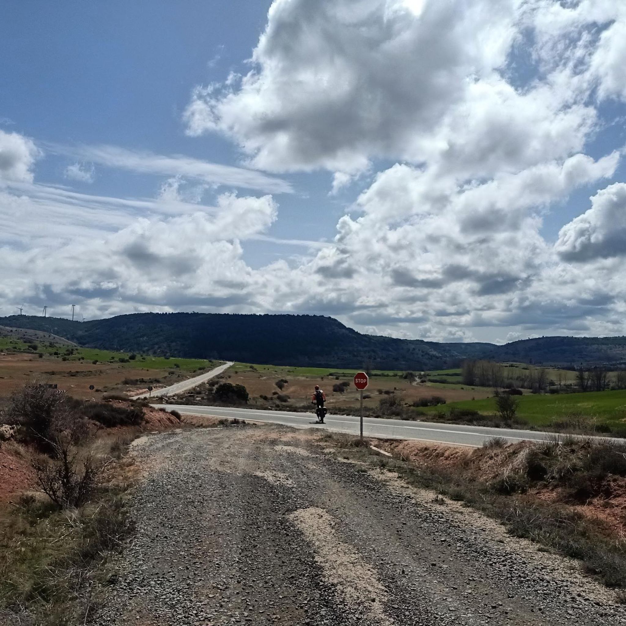
Tips from the Community

Difficult to approach the Cross, but exciting.
0
0
It is usually the highest place on the routes in this area, so it is a good idea to rest next to its geodesic and admire the surrounding landscape.
2
0
Hermitage, restaurant, meadow, forest. Relaxation place near Riaza.
1
0

In the Segovia region, the red town, Madriguera, stands out with its unique construction material.
0
0

Villacorta is part of the Route of the Red Towns of Segovia and is, together with Madriguera, one of the best examples of "red architecture." This characteristic color is due to the iron stones and clay soils of the area.
1
0
The best known of the red towns on the Route of the Red and Black Towns of Segovia, for being the most representative of the so-called "red architecture." The houses have their color thanks to the use of the reddish elements of the iron stone and the clay soil of this area.
1
0
A beautiful waterfall with an approximate height of about 5 meters.
1
0
Frequently Asked Questions
How many hiking trails are available in Ribota, and what are their difficulty levels?
Ribota offers a diverse network of over 45 hiking trails. These routes cater to various fitness levels, with 8 easy trails perfect for beginners, 27 moderate trails for those seeking a bit more challenge, and 12 difficult routes for experienced hikers looking for significant elevation gains and longer distances.
What do other hikers enjoy most about the trails in Ribota?
The hiking trails in Ribota are highly regarded by the komoot community, boasting an average rating of 4.5 stars from over 70 reviews. Hikers frequently praise the varied terrain, from rugged mountain ranges to forested valleys, and the opportunities to explore the natural beauty of the Comunidad de Calatayud.
Are there any natural landmarks or viewpoints to discover on hikes around Ribota?
Yes, the region around Ribota features several natural landmarks and scenic viewpoints. You can explore the serene Riofrío Reservoir, marvel at the dramatic Riaza River Canyon, or enjoy panoramic vistas from the Matarredonda Meadow Viewpoint and Piedras Llanas Viewpoint. The impressive Peñón de los Arcos also offers a unique natural formation to observe.
Are there family-friendly hiking options in Ribota?
While the guide highlights a range of difficulties, there are easy trails suitable for families. For instance, the La Chorrera de Pico Jarro Trail is a moderate 5.4 km route with gentle elevation changes, making it a good option for families looking for a pleasant walk in natural surroundings.
Can I bring my dog on the trails in Ribota?
Many trails in the Ribota area, like those in the broader Sierra de la Demanda region, are suitable for dogs, especially those that traverse forests and open landscapes. However, it's always recommended to check local regulations for specific routes or protected areas regarding leash requirements and waste disposal to ensure a pleasant experience for everyone.
Are there circular hiking routes available in Ribota?
Yes, Ribota offers several circular routes. A notable example is the challenging Buitrera Peak Loop from Hontanares Hermitage, which covers 16.3 km and provides significant elevation gain leading to panoramic views. Another option is the Risco de la Cruz de Hontanares y Riofrío de Riaza — circular desde la Ermita de Hontanares, an 13.7 km trail through varied terrain.
What is the best time of year to go hiking in Ribota?
The best time to hike in Ribota, similar to other regions in Aragon, is generally during spring (April to June) and autumn (September to October). During these seasons, the weather is milder, and the landscapes are particularly beautiful, with blooming flora in spring and vibrant colors in autumn. Summers can be hot, especially in lower elevations, while winters may bring snow to higher mountain areas.
Are there any historical or cultural sites near the hiking trails?
Yes, the area around Ribota is rich in history and culture. You can visit the charming Hontanares Hermitage, which serves as a starting point for some trails. The nearby village of Riofrío de Riaza and the historic Plaza Mayor de Riaza also offer glimpses into the local heritage and are worth exploring.
What kind of terrain can I expect on the hikes in Ribota?
Hiking in Ribota is characterized by rugged mountain ranges, forested valleys, and open landscapes. You can expect a mix of terrain, from well-trodden paths through woodlands to more challenging ascents over rocky ground and crags, offering a diverse experience for hikers.
Are there any trails that feature water bodies or canyons?
Yes, the region offers trails that lead to or through areas with water features. The Riofrío Reservoir is a notable water body, and the dramatic Riaza River Canyon provides an impressive natural spectacle, similar to the gorges found in the Natural Park of the Sierra and Canyons of Guara in broader Aragon.
What are the parking facilities like for hikers in Ribota?
While specific parking details for every trailhead in Ribota are not listed, many popular hiking areas in similar Spanish regions typically offer designated parking spaces near trailheads, especially for well-known routes or attractions like hermitages. It's advisable to check local signage upon arrival or consult detailed route descriptions for specific parking information.
Is public transport an option to reach the trailheads in Ribota?
Accessing trailheads in rural areas like Ribota often requires private transport, as public transport options can be limited. While some larger towns in the Comunidad de Calatayud may have bus services, reaching specific, more remote trail starting points might be challenging without a car. Planning ahead and checking local bus schedules for nearby villages is recommended if relying on public transport.
Most popular attractions around Ribota

Get inspired with the komoot mobile app


Explore more
Browse the best Hikes in other regions.
