The best walks and hikes around Cenlle
4.3
(36)
190
hikers
23
hikes
Hiking around Cenlle offers a variety of routes through its landscape, characterized by river valleys, thermal areas, and woodlands. The region features paths alongside waterways like the Río Barbantiño and Río Avia, often leading to natural attractions such as waterfalls. Elevation changes are generally moderate, providing accessible hiking experiences.
Best hiking trails around Cenlle
- The most popular hiking route is Camino Natural del Río Barbantiño – circular from A Forxa, a 7.5 miles (12.1 km) trail that takes 3…
Last updated: July 2, 2026
4.5
(4)
23
hikers
12.1km
03:22
220m
220m
Moderate hike. Good fitness required. Mostly accessible paths. Sure-footedness required.
4.8
(4)
7
hikers
Moderate hike. Good fitness required. Easily-accessible paths. Suitable for all skill levels.

Sign up for free
4.0
(4)
18
hikers
11.1km
03:04
190m
190m
Moderate hike. Good fitness required. Easily-accessible paths. Suitable for all skill levels.
3.7
(3)
16
hikers
8.73km
02:20
100m
100m
Moderate hike. Good fitness required. Easily-accessible paths. Suitable for all skill levels.
4.0
(4)
19
hikers
13.5km
03:40
190m
190m
Moderate hike. Good fitness required. Easily-accessible paths. Suitable for all skill levels.
Get access to more routes and recommendations from other explorers.
Sign up for free
Already have an account?
Our route recommendations are based on thousands of hikes, rides, and runs completed by other people on komoot.
Start today with a free account
Your next adventure awaits.
Login or Signup
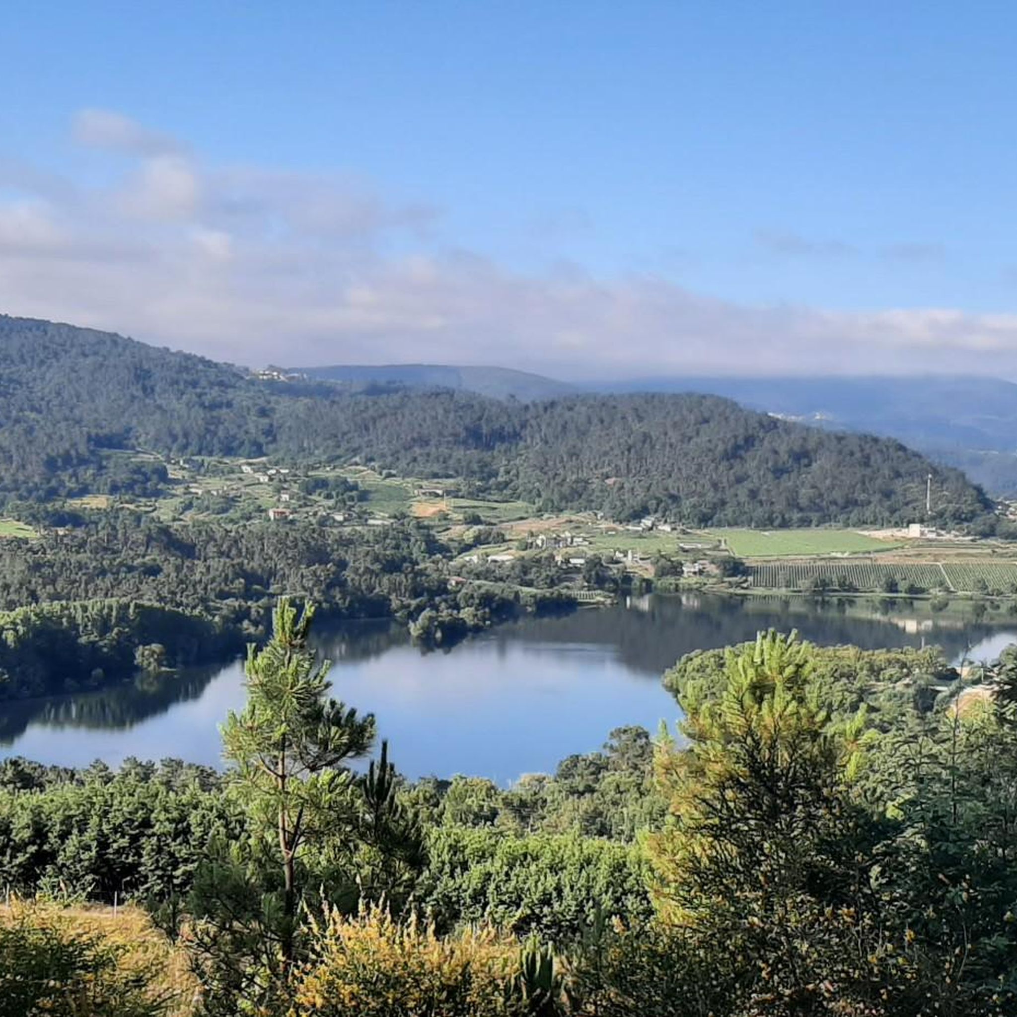
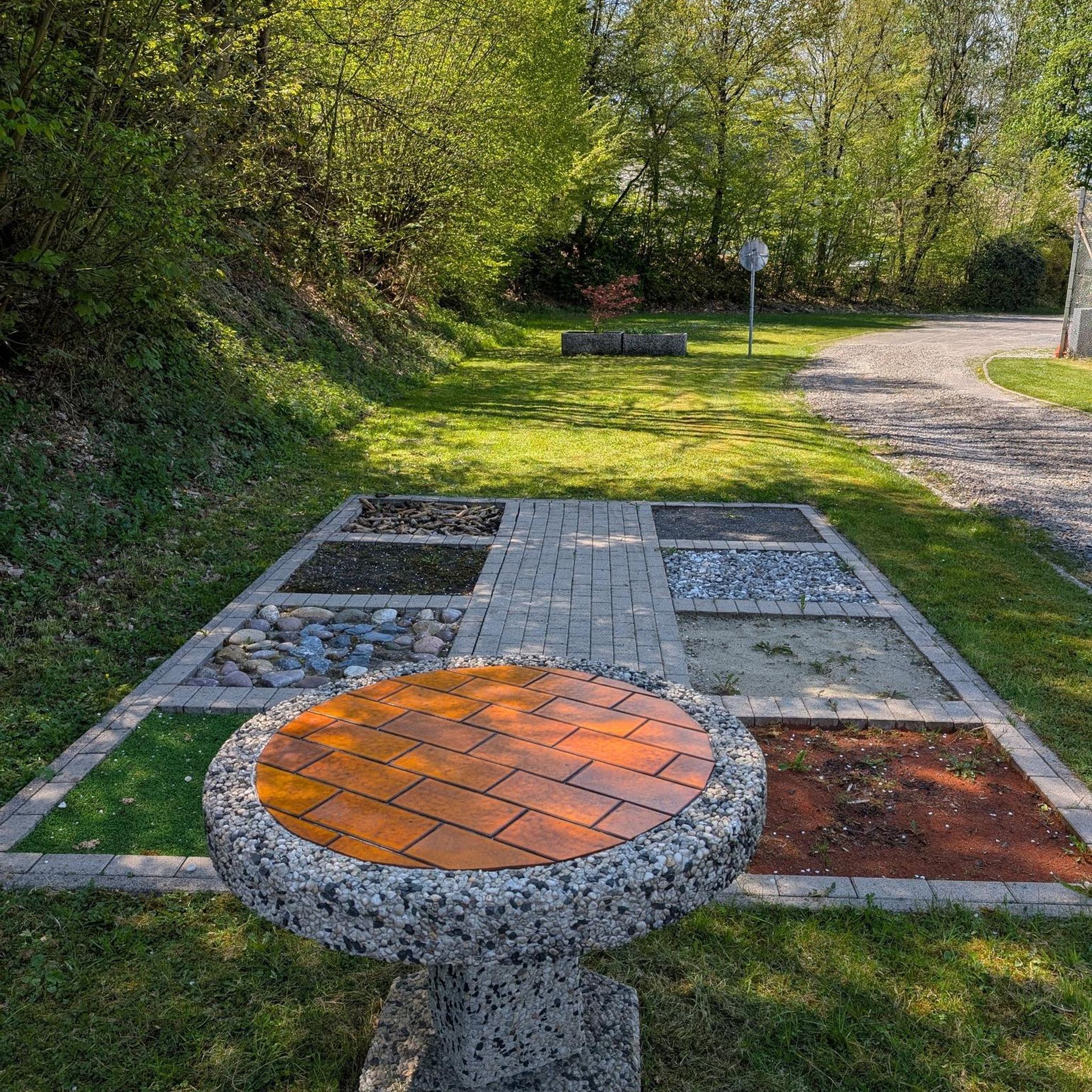
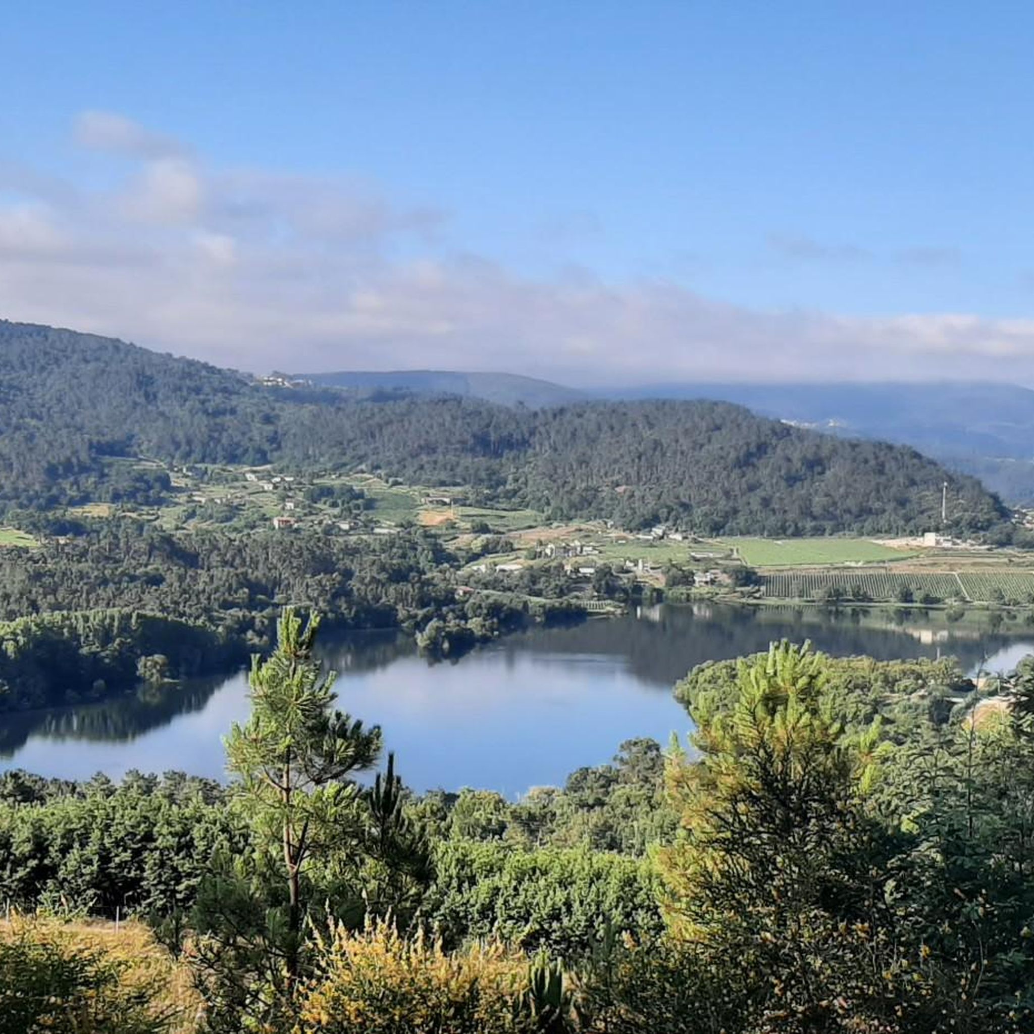
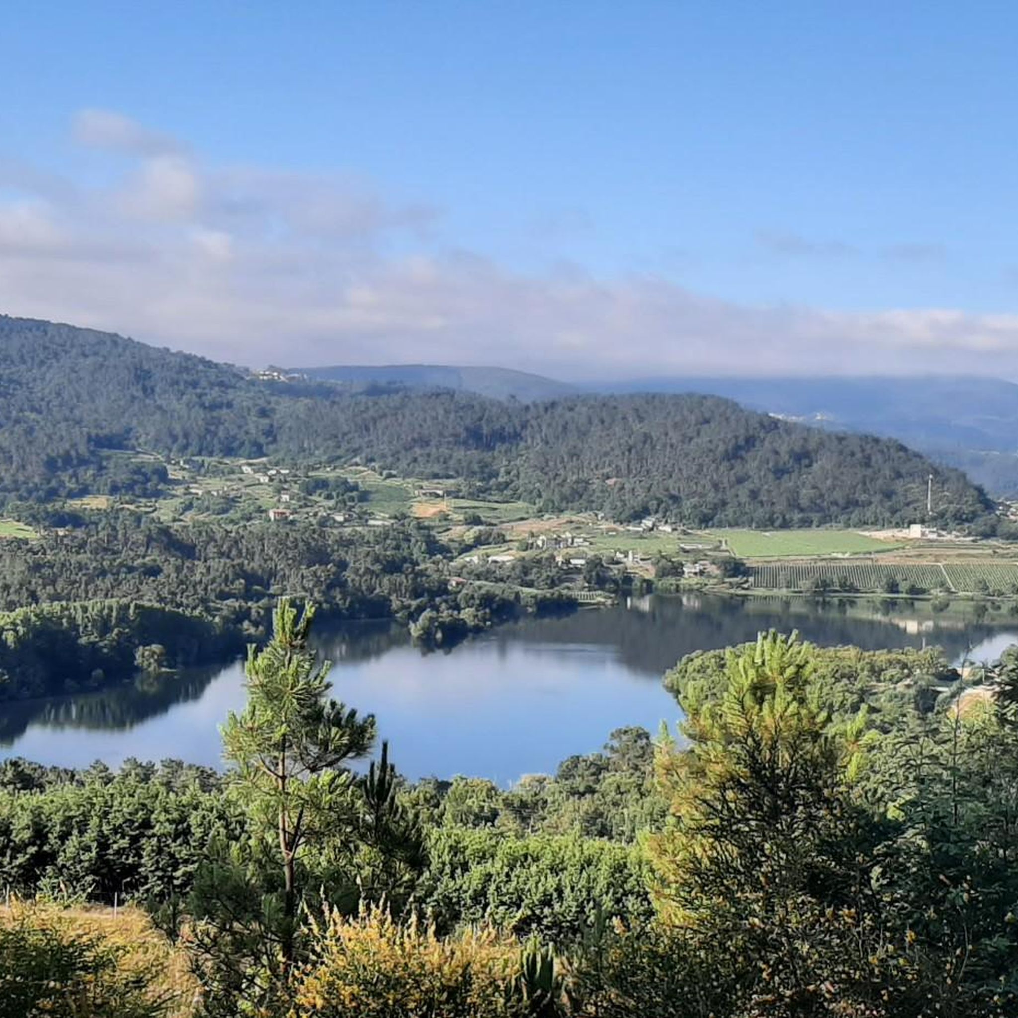
Tips from the Community

It is a beautiful waterfall located on the Barbantiño River, in the province of Ourense, Galicia. With a waterfall of about 20 meters, it is one of the most impressive natural landscapes in the area. Surrounded by a lush and green environment, the waterfall is ideal for those who enjoy hiking and contact with nature.
1
0
The Barbantes Thermal Park, in Cenlle, Ourense, has a thermal water pool that occupies about 200 square meters. The water temperature is constant, around 28-29ºC, ideal for a relaxing bath. Its water is rich in minerals and known for its therapeutic properties. The park has green areas and rest areas, making it a popular place for thermal tourism. It stands out for being on the Ribeiro Wine Route, an area famous for its vineyards and wineries, combining wellness and wine tourism.
1
0

The Fervenza do Barbantiño jump overcomes a difference in height of about 15 meters above the rocky ground and in the rainy season it becomes a true spectacle. However, its course is subject to the rules of a mini hydroelectric plant from the late 1990s that reduces its flow during certain times of the year. To get to this beautiful fervenza, just follow the Barbantiño Natural Trail downstream. From the OU-524 bridge over the river you can take the route, since this is the shortest way to get there, with a distance of only 1.7 km. In any case, it is advisable to start the route from the thermal springs in O Bañiño, in A Forxa, and travel the more than 7 km of beautiful and incomparable path, until you reach the San Fiz bridge.
2
0
These are the remains of what was a magnificent medieval three-arch bridge known as Ponte da Cruz. It has modern wooden walkways that join the bases so that the river can be crossed by this false bridge. The current remains give us an idea of the greatness of the bridge, which could have been almost thirty meters long. Surely the missing arches were smaller than the one that exists today.
1
0

Natural park and path along the river Miño between the town of Laias and the Barbantes hot springs. Cool off by swimming in the cool waters of the river on your adventure. In season, there is a beach bar to buy some food.
1
0
Great gravel track along the river Miño between Barbantes and Laias. The trail is shaded by many native trees. Don't forget your bathing suit to soak in the hot springs and the river
2
0
The path ends along a bridge over the water of the Barbantiño that offers a spectacular view of the waterfall as it falls in four levels, forming pools between the rocks.
2
0

Old mill located in a natural environment of great beauty, next to the Barbantiño river, where there are small bridges and footbridges, as well as other old mills.
2
0
Frequently Asked Questions
How many hiking trails are available in Cenlle?
Cenlle offers a diverse range of hiking experiences with over 20 routes. These trails vary in difficulty, catering to different fitness levels, from easy strolls to more challenging paths.
What kind of terrain can I expect on hikes around Cenlle?
Hiking around Cenlle primarily features paths through river valleys, thermal areas, and woodlands. You'll often find trails alongside waterways like the Río Barbantiño and Río Avia, with generally moderate elevation changes.
Are there easy hiking trails suitable for beginners in Cenlle?
Yes, Cenlle has several easy hiking trails perfect for beginners or those looking for a relaxed walk. There are at least 5 routes classified as easy, offering accessible experiences through the region's scenic landscapes.
Can I find circular hiking routes in Cenlle?
Absolutely. Many of Cenlle's trails are circular, allowing you to start and end at the same point. An example is the Camino Natural del Río Barbantiño – circular from A Forxa, which follows a natural path along the river.
Are there any hikes that feature waterfalls in Cenlle?
Yes, you can discover beautiful waterfalls on some of the hikes. The Barbantiño Waterfall – Molinos de Pazos de Arriba loop from Punxín is a great option that leads you to the impressive Barbantiño Waterfall.
Are the hiking trails in Cenlle family-friendly?
Many of the trails in Cenlle are suitable for families, especially the easier routes with moderate elevation changes. These paths often follow rivers or pass through woodlands, providing pleasant and safe environments for all ages.
Are dogs allowed on the hiking trails in Cenlle?
Generally, dogs are welcome on the hiking trails in Cenlle, especially in the natural and rural areas. It's always a good idea to keep them on a leash and ensure you clean up after them to preserve the natural environment for everyone.
Where can I find parking for hiking trailheads in Cenlle?
Parking is typically available near the starting points of many popular trails, especially in villages or designated recreational areas. For specific routes, such as those starting from A Forxa or Punxín, you can often find roadside parking or small car parks.
What are some interesting places to explore near the hiking trails?
Beyond the trails, Cenlle offers several points of interest. You can visit the Barbantes Thermal Park, explore the Outariz Hot Springs, or discover historical sites like the Medieval Rock Tombs of Castro de Santa Mariña.
Are there any thermal areas or hot springs accessible via hiking trails?
Yes, Cenlle is known for its thermal areas. You can hike through the Barbantes Thermal Park loop from Razamonde, which offers access to the thermal park. Additionally, the Outariz Hot Springs are also nearby and can be reached via some routes.
What do other hikers say about the trails in Cenlle?
The hiking trails in Cenlle are highly regarded by the komoot community, boasting an average rating of 4.0 stars from over 30 reviews. Hikers often praise the region's beautiful riverine scenery and the variety of paths available.
What is the best time of year for hiking in Cenlle?
The best time for hiking in Cenlle is typically during spring and autumn when the weather is mild and the natural scenery is at its most vibrant. Summer can also be pleasant, especially along shaded river paths, but it can get warm. Winter offers a different charm, though some paths might be wetter.
Are there any challenging hikes for experienced hikers in Cenlle?
While most trails are moderate, Cenlle does offer at least one route classified as difficult for those seeking a greater challenge. These routes typically feature more significant elevation gains and longer distances, testing endurance and skill.
Most popular attractions around Cenlle

Get inspired with the komoot mobile app


Explore more
Browse the best Hikes in other regions.
