The best MTB trails around Paredes De Sigüenza
4.5
(4)
66
riders
22
rides
Mountain biking around Paredes De Sigüenza features varied terrain within the Sierra Norte of Guadalajara, characterized by pine and oak forests, ravines, and fertile plains. The region includes the Valle del Río Salado, where the river's origin shapes the landscape, and is near the Barranco del Río Dulce, known for its gorges and waterfalls. Historical trails, including ancient Roman roads, are integrated into the routes, providing a blend of natural and cultural exploration. These geographical features contribute to trails with…
Last updated: July 11, 2026
40
riders
41.7km
03:49
770m
760m
Moderate mountain bike ride. Good fitness required. Advanced riding skills necessary.
4.0
(1)
14
riders
124km
10:01
1,510m
1,510m
Hard mountain bike ride. Very good fitness required. Advanced riding skills necessary.

Sign up for free
4
riders
22.8km
01:51
120m
120m
Moderate mountain bike ride. Great for any fitness level. Advanced riding skills necessary.
4.5
(2)
5
riders
60.7km
04:58
670m
670m
Moderate mountain bike ride. Good fitness required. Advanced riding skills necessary.
5.0
(1)
3
riders
43.5km
03:19
350m
350m
Moderate mountain bike ride. Good fitness required. Advanced riding skills necessary.
Get access to more routes and recommendations from other explorers.
Sign up for free
Already have an account?
Our route recommendations are based on thousands of hikes, rides, and runs completed by other people on komoot.
Start today with a free account
Your next adventure awaits.
Login or Signup
Popular around Paredes De Sigüenza
Tips from the Community

The Lumías Waterfall, although not formally marked as a waterfall in tourist guides, is located in the natural setting of the Talegones River, in the small town of Lumías. The Talegones River runs through the town, dividing it in two, and offers crystal-clear waters, lush vegetation, abandoned orchards, and fruit trees such as cacti and elderberries.
3
0
Arenillas, in the judicial district of Almazán, is a small municipality in the province of Soria, with a rich history and a natural environment very characteristic of the Castilian plateau. The municipality is crossed by the Talegones River (a tributary of the Duero River) and the Parado River. The landscape is hilly, with grain fields and scrubland. The economy is based on agriculture (wheat, barley, rye) and sheep farming. The distillation of aromatic plants such as lavender and spike lavender is particularly noteworthy, giving rise to a small artisanal industry.
3
0
The Talegones River Canyon Bridge, although not a monumental structure like a traditional Roman or medieval bridge, is part of the nature and hiking trail that crosses this spectacular spot in the municipality of Berlanga de Duero, province of Soria.
4
0

Ideal places for mountain biking and hiking routes
0
0

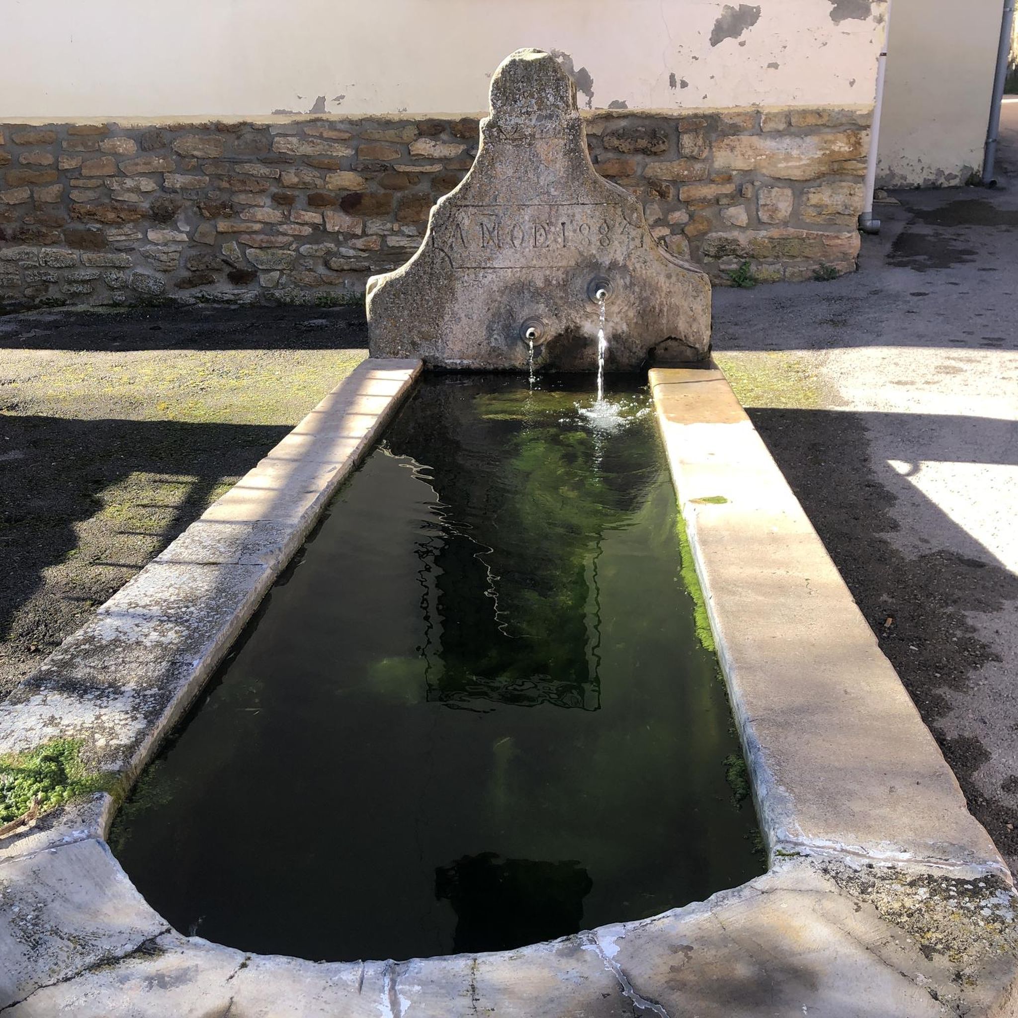
Fountain, shops and at least a couple of bars make Romnillos a good stop on the Camino del Cid
0
0

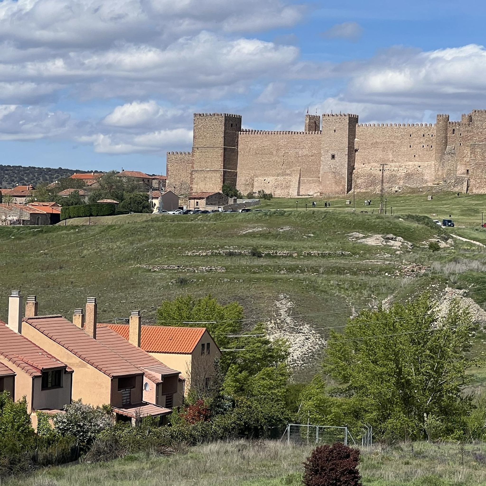
It is worth spending a few minutes to admire the grandeur of the castle and the beautiful medieval village.
0
1
This town with steep slopes crowned by a castle is the gateway to the Dulce River ravine.
0
0
Frequently Asked Questions
How many mountain bike trails are available in Paredes De Sigüenza?
There are over 15 mountain bike trails around Paredes De Sigüenza, offering a variety of experiences for different skill levels. The region is highly rated by the komoot community, with an average score of 4.7 stars.
What is the terrain like for mountain biking in Paredes De Sigüenza?
The terrain in Paredes De Sigüenza is diverse, characterized by the Sierra Norte mountains, the scenic Valle del Río Salado, and ancient historical trails. You'll encounter pine and oak forests, short, steep climbs ('repechos'), ravines ('barrancos'), and fertile plains ('vegas'), providing varied and engaging riding conditions.
Are there mountain bike trails suitable for beginners in Paredes De Sigüenza?
While the area primarily features moderate to difficult routes, some sections of the moderate trails can be enjoyed by less experienced riders. For example, the Highlights of Atienza Village – Castle of Atienza loop from Bochones is a moderate 14.3-mile (23.1 km) trail that offers a good introduction to the region's cycling.
Are there challenging mountain bike routes for experienced riders?
Yes, experienced riders will find challenging routes with significant elevation changes. The Riverside Rest Area – Pelegrina Castle loop from Cerro Grande is a difficult 77.3-mile (124.4 km) trail that takes approximately 10 hours to complete, offering extensive riding through varied landscapes and demanding sections.
What natural features or landmarks can I see along the mountain bike trails?
The region is rich in natural beauty and historical sites. You can explore the Valle del Río Salado, ride through pine and oak forests, and potentially visit the nearby Barranco del Río Dulce, known for its gorges and the impressive Cascada del Gollorio. Notable landmarks include the unique Salinas de Imón and the historic Rello Walled Village.
Are there family-friendly mountain bike trails in Paredes De Sigüenza?
While there are no specifically designated 'easy' trails, some moderate routes can be adapted for families with older children or those comfortable with varied terrain. The region's historical trails and scenic views offer an engaging experience for active families. Always check the route's difficulty and elevation profile before heading out.
Can I bring my dog on the mountain bike trails?
Many trails in natural areas like Paredes De Sigüenza are generally dog-friendly, especially if your dog is well-behaved and kept on a leash. However, it's always advisable to check local regulations for specific trails or protected areas, such as the Barranco del Río Dulce, to ensure compliance.
Are there circular mountain bike routes available?
Yes, many of the mountain bike routes in Paredes De Sigüenza are designed as loops, allowing you to start and end at the same point. An example is the Rello Walled Village – Romanillos de Atienza loop from Rello, a moderate 37.6-mile (60.5 km) path that explores historical villages and the surrounding countryside.
What is the best time of year for mountain biking in Paredes De Sigüenza?
Spring and autumn generally offer the most pleasant conditions for mountain biking, with milder temperatures and beautiful scenery. Summer can be hot, especially in the open plains, so early mornings or late afternoons are recommended. Winter can bring colder temperatures and potentially some snow in higher elevations of the Sierra Norte, but many trails remain accessible.
Is parking available for mountain bikers in Paredes De Sigüenza?
Parking is typically available in the villages and towns that serve as starting points for the trails, such as Paredes De Sigüenza itself or nearby Sigüenza. Look for designated public parking areas, though availability may vary, especially during peak seasons.
How accessible are the mountain bike trails by public transport?
Public transport options directly to trailheads in Paredes De Sigüenza may be limited. It's often more convenient to travel by car to reach the starting points of the routes. However, the nearby town of Sigüenza has better public transport links, and some routes might be accessible from there.
What do other mountain bikers enjoy the most about mountain biking in Paredes De Sigüenza?
The area is highly rated by the komoot community, with an average score of 4.7 stars. Reviewers often praise the region's varied terrain, which includes everything from scenic river valleys to challenging mountain sections, and the opportunity to combine sport with cultural exploration along historical trails and through charming villages.
Most popular routes around Paredes De Sigüenza
Most popular attractions around Paredes De Sigüenza

Get inspired with the komoot mobile app


Explore more
Browse the best MTB trails in other regions.
