The best MTB trails around Genalguacil
4.1
(75)
671
riders
28
rides
Mountain biking around Genalguacil offers routes through extensive woodlands and rugged natural beauty in the Serranía de Ronda. The region is characterized by its dramatic landscapes, including the Sierra Bermeja mountain range and the verdant Genal Valley. Over 90% of Genalguacil's municipal area is covered in diverse forests, providing varied terrain for mountain bikers. This environment features significant elevation changes, from high mountain terrain to valley floors, suitable for challenging rides.
Best mountain bike trails around Genalguacil
- The most popular…
Last updated: October 20, 2026
4.7
(6)
27
riders
35.7km
03:39
890m
890m
Moderate mountain bike ride. Good fitness required. Advanced riding skills necessary.
78
riders
68.2km
07:02
1,850m
1,850m
Hard mountain bike ride. Very good fitness required. Advanced riding skills necessary. Some portions of the route may require you to push your bike.

5.0
(1)
16
riders
49.2km
03:49
820m
820m
Moderate mountain bike ride. Good fitness required.
4.5
(2)
20
riders
30.6km
02:30
610m
610m
Moderate mountain bike ride. Good fitness required.
5.0
(1)
13
riders
60.0km
04:46
1,040m
1,030m
Hard mountain bike ride. Very good fitness required.
Get access to more routes and recommendations from other explorers.
Already have an account?
Our route recommendations are based on thousands of hikes, rides, and runs completed by other people on komoot.
Start today with a free account
Your next adventure awaits.
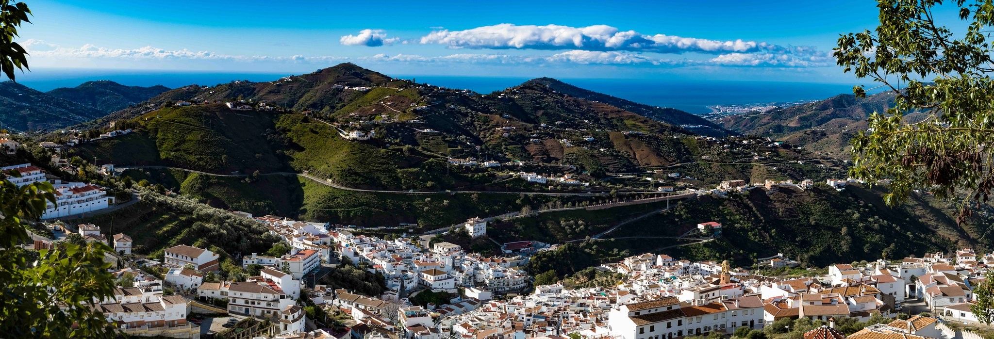
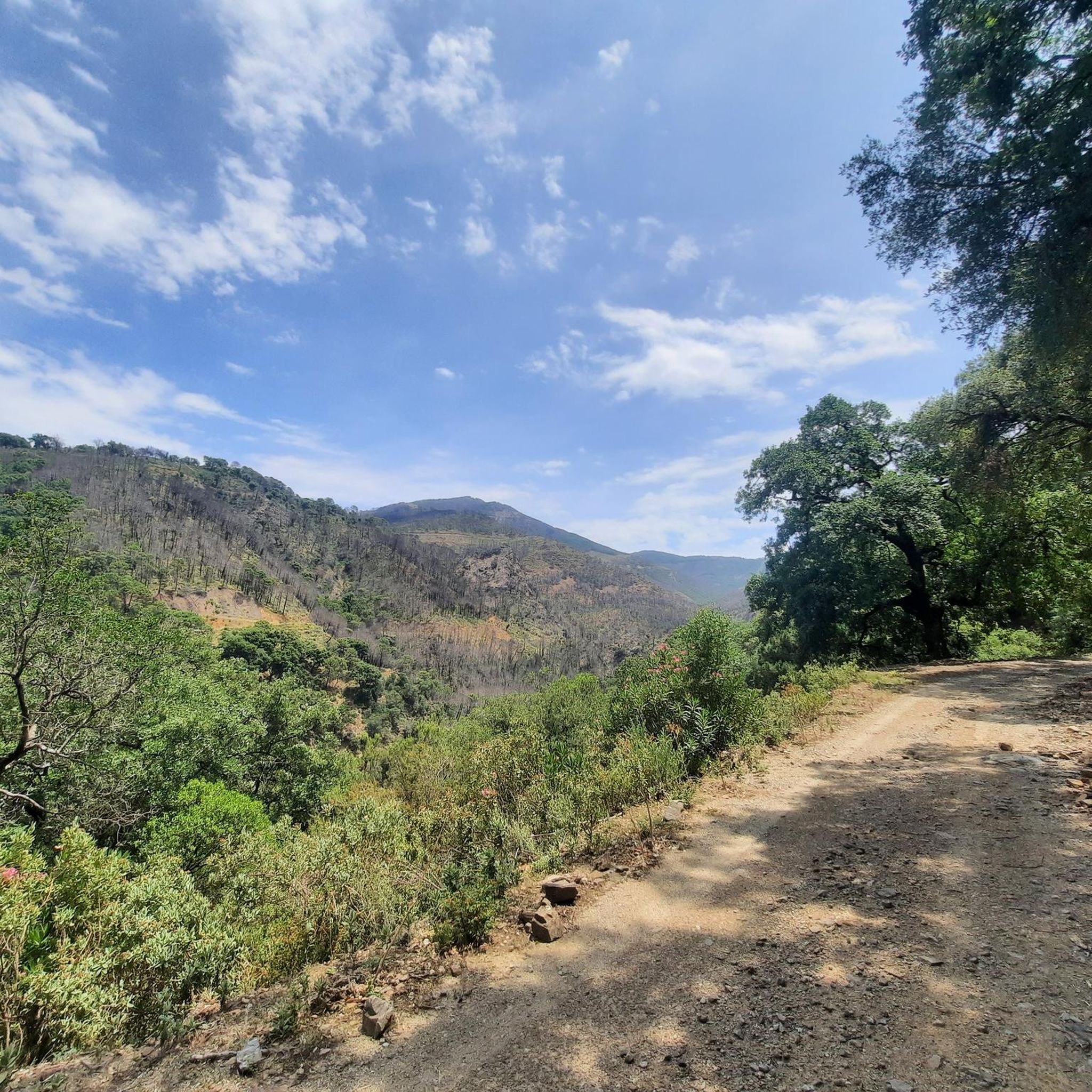
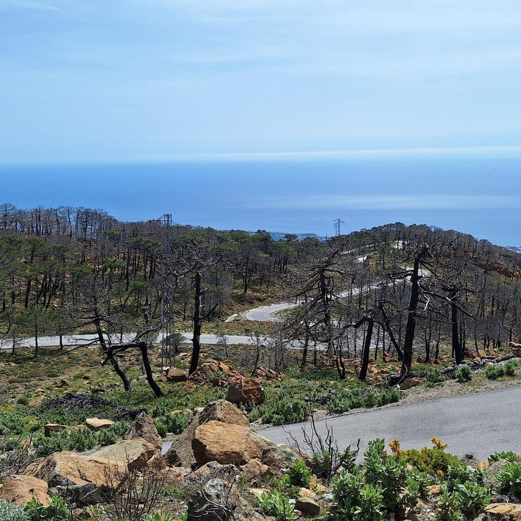

Other adventures around Genalguacil

Tips from the Community

There is no suspension bridge here, only a normal ford across the river. Maybe there used to be one. At any rate, there isn't one now, or it's misplaced.
0
0

The route leads predominantly along a wooden boardwalk along the coastline and offers unobstructed, impressive views of the sea throughout, making the journey particularly attractive.
1
0

Located on the waterfront promenade, this park features many sculptures. All are freely accessible and well-made. A visit is definitely worthwhile.
0
0
The Acueducto del Ángel in Estepona is an impressive relic from the 18th century, reminiscent of the region's agricultural past. It is located in the area of Parque del Ángel, near Arroyo de Hornacinos and Calle Terral, not far from the modern residential complex Playa del Ángel. The historical structure once served to irrigate the surrounding fields and was part of an extensive water supply system that connected springs and water reservoirs. The aqueduct consists of multi-arched masonry viaducts that carried water over an elevated structure, likely to mills or agricultural facilities in the area. After years of decay, it was restored by the city of Estepona as part of a project to upgrade the coastal park and made accessible again. Today, it is surrounded by a small park with walking paths and information boards and can be visited freely. The Acueducto del Ángel is thus not only a technical monument but also a symbol of the connection between history, landscape, and water management in Andalusia. Between modern development and proximity to the sea, it tells of a time when water was a valuable commodity and the engineering skills of the Moors and their successors created the foundation for fertile fields and flourishing gardens.
2
0
The Parque del Ángel in Estepona is a spacious, modernly designed green area near the coast that combines nature, culture, and recreation. Amidst Mediterranean plantings, palm trees, and open meadows, there is a restored aqueduct that gives the park a historical element. A wooden bridge over the small Hornacinos stream connects the surrounding neighborhoods and blends harmoniously into the landscape. In addition, several sculptures by the artist Santiago de Santiago enrich the park like a small open-air museum, while a landscaped noria recalls old irrigation systems. The offering is complemented by a modern calisthenics zone and quiet paths, making the Parque del Ángel a beautiful place for relaxation, sports, and photo opportunities.
1
0

I was unable to complete this hike today because we couldn't find the route, when walking north on the west side of the river about 200 yards from the AP7. The track just ended and we couldn't find any reasonably accessible walk through the vegetation.
0
0

The Castillo de la Duquesa, also known as the Fuerte de Sabinillas, is a fortification located in the town of Manilva, in the province of Málaga. It was built in 1767 during the reign of Charles III as part of an effort to fortify the coast of the Kingdom of Granada.
3
0
Frequently Asked Questions
How many mountain bike trails are available around Genalguacil?
There are over 20 mountain bike trails around Genalguacil, offering a variety of experiences through its extensive woodlands and mountainous terrain. These routes are highly rated by the komoot community, with an average score of 4.1 stars.
What kind of terrain and difficulty can I expect on mountain bike trails in Genalguacil?
Genalguacil's mountain bike trails feature diverse terrain, from extensive woodlands of Spanish firs and cork oaks to rugged mountainous areas with significant elevation changes. You'll find options ranging from moderate to difficult, with 6 moderate and 13 difficult routes. Expect challenging ascents and exhilarating descents through varied ecosystems.
Are there any easy or beginner-friendly mountain bike routes in Genalguacil?
While many routes in Genalguacil are moderate to difficult, there is at least one easy mountain bike trail available. These routes typically traverse the diverse forest ecosystems and offer a less strenuous way to experience the region's natural beauty.
What are some of the longest mountain bike routes in the Genalguacil area?
For those seeking longer rides, the Lobero Bridge – View of El Colmenar loop from Cortes de la Frontera is a challenging 42.3-mile (68.1 km) trail. Another substantial option is the Fuente de la Mina – Nicola Alta Viewpoint loop from Urbanización Altos de Guadalobon, which covers 40.9 miles (65.8 km) with significant elevation gain.
Are there mountain bike routes that offer scenic views in Genalguacil?
Absolutely. The region is known for its breathtaking panoramic views. Routes often traverse the Sierra Bermeja mountain range, offering vistas over the Genal Valley and surrounding white villages. Viewpoints like the Plaza viewpoint, Lentisco Viewpoint, and Poyetes Viewpoint provide stunning perspectives of the landscape.
What is the best season for mountain biking in Genalguacil?
The Serranía de Ronda, where Genalguacil is located, offers pleasant conditions for mountain biking for much of the year. Spring and autumn generally provide the most comfortable temperatures. Summers can be hot, especially at lower elevations, while winters are mild but can have cooler, wetter periods. Always check local weather conditions before heading out.
Are there any circular mountain bike trails around Genalguacil?
Yes, many of the mountain bike trails in Genalguacil are designed as loops. For example, the Artesa-Altabacales Circuit is a popular 22.2-mile (35.7 km) circular route that traverses diverse forest ecosystems.
What interesting places or landmarks can I see near the mountain bike trails?
Beyond the natural beauty, Genalguacil is known as the 'museum village' with contemporary art integrated into its streets. Along or near the trails, you can find historical sites like the Eagle Castle and charming settlements such as Gaucín. The Pico de los Reales — Summit View also offers spectacular vistas.
What do other mountain bikers enjoy most about mountain biking in Genalguacil?
The area is highly rated by the komoot community, with an average score of 4.1 stars from over 40 reviews. Mountain bikers often praise the extensive forests, the challenging mountainous terrain, and the scenic beauty of the Genal Valley. The diverse routes cater to various skill levels, making it a rewarding destination for many.
Is there parking available for mountain bikers in Genalguacil?
While specific parking areas for mountain bikers are not detailed, Genalguacil is a small village, and parking is generally available within or on the outskirts of the town. Many routes also start from nearby urbanizations or villages, where parking facilities would be present. It's advisable to check local parking regulations upon arrival.
Are there any advanced mountain bike trails for experienced riders?
Yes, Genalguacil offers several challenging routes suitable for advanced mountain bikers. Out of the 20 available trails, 13 are classified as difficult. These routes often feature significant elevation gains, such as the Cyclists' Viewpoint – Access to the Camino de Artesa loop from Saladavieja, which includes over 950 meters of ascent.
Most popular routes around Genalguacil
Most popular attractions around Genalguacil

Get inspired with the komoot mobile app


Explore more
Browse the best MTB trails in other regions.
