The best mountain hikes around Weltenburger Enge
4.6
(5)
30
hikers
7
hikes
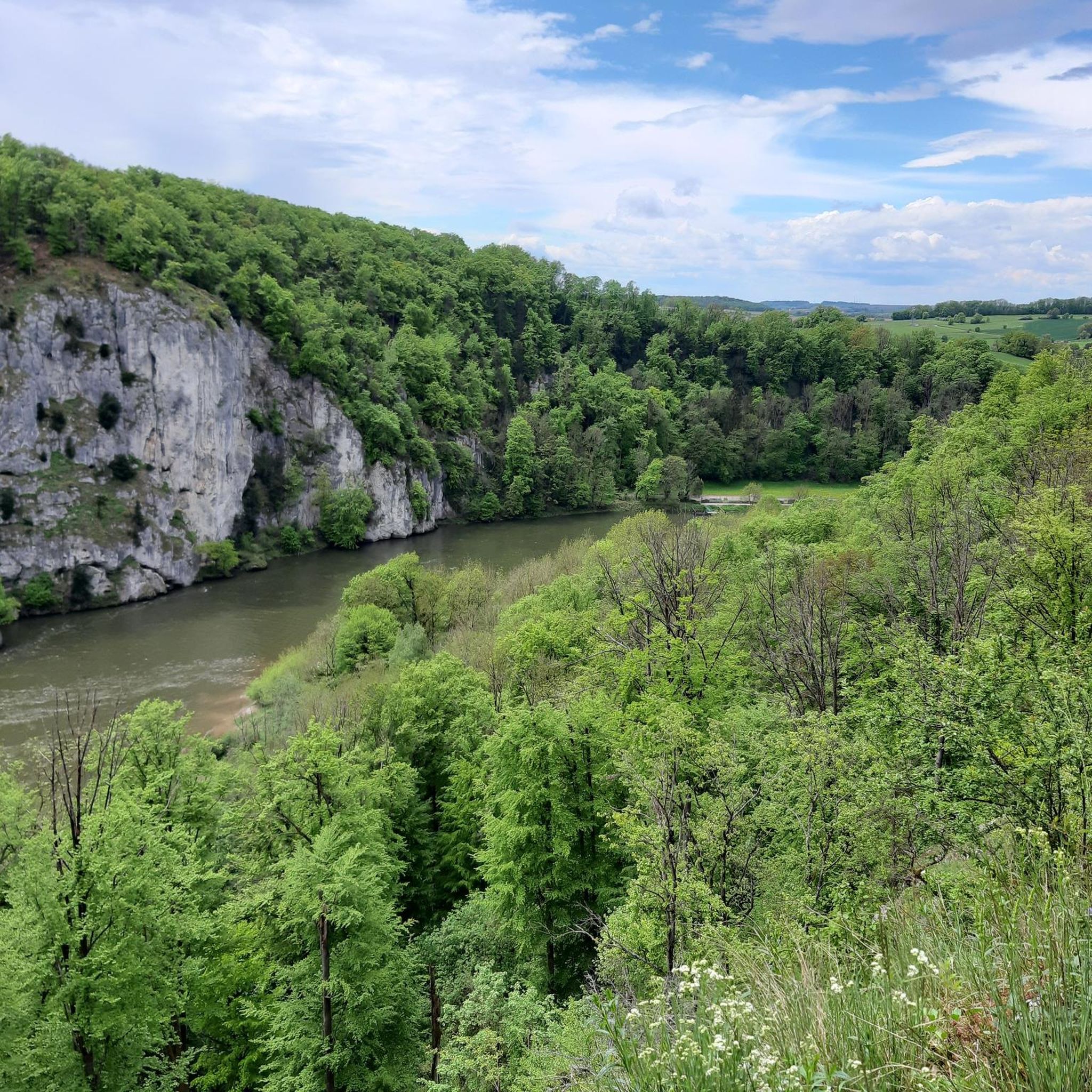
Mountaineering routes around Weltenburger Enge feature dramatic limestone cliffs rising 70-80 meters above the Danube River, forming a unique gorge. This area, Bavaria's first National Natural Monument, is characterized by its ancient geological formations, including fossil-rich Upper Jurassic limestone. The terrain combines steep rock faces with dense mixed forests and the flowing Danube, offering a diverse landscape for outdoor activities.
Best mountaineering routes around Weltenburger Enge
- The most popular mountaineering route is Mountaineering loop from Kelheim, a 6.0 miles…
Last updated: July 5, 2026
5.0
(1)
5
hikers
9.71km
02:45
210m
210m
Moderate mountaineering route. Good fitness required. Easily-accessible paths. Suitable for all skill levels.
2
hikers
13.4km
03:39
190m
190m
Moderate mountaineering route. Good fitness required. Easily-accessible paths. Suitable for all skill levels.

Sign up for free
1
hikers
6.75km
02:05
210m
210m
Moderate mountaineering route. Good fitness required. Mostly accessible paths. Sure-footedness required.
4.7
(3)
9
hikers
13.6km
03:48
250m
250m
Moderate mountaineering route. Good fitness required. Easily-accessible paths. Suitable for all skill levels.
1
hikers
11.9km
03:35
280m
280m
Hard mountaineering route. Good fitness required. Sure-footedness, sturdy shoes and alpine experience required.
Get access to more routes and recommendations from other explorers.
Sign up for free
Already have an account?
Our route recommendations are based on thousands of hikes, rides, and runs completed by other people on komoot.
Start today with a free account
Your next adventure awaits.
Login or Signup
Popular around Weltenburger Enge
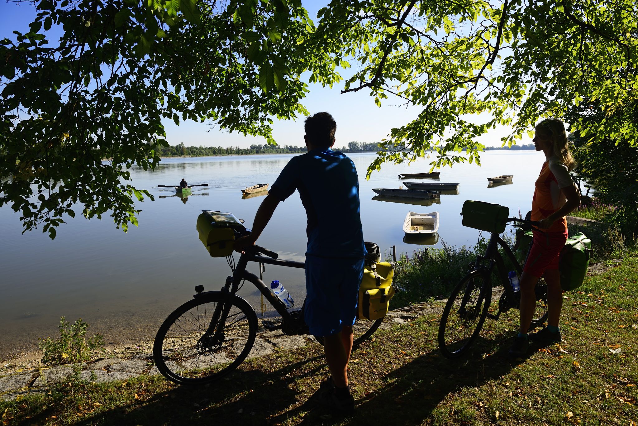
Niederbayerntour in 7 stages — Swim trunks, beer, baroque
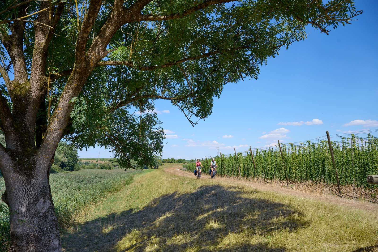
On the Niederbayerntour in 7 stages through the Bayerische Thermenland
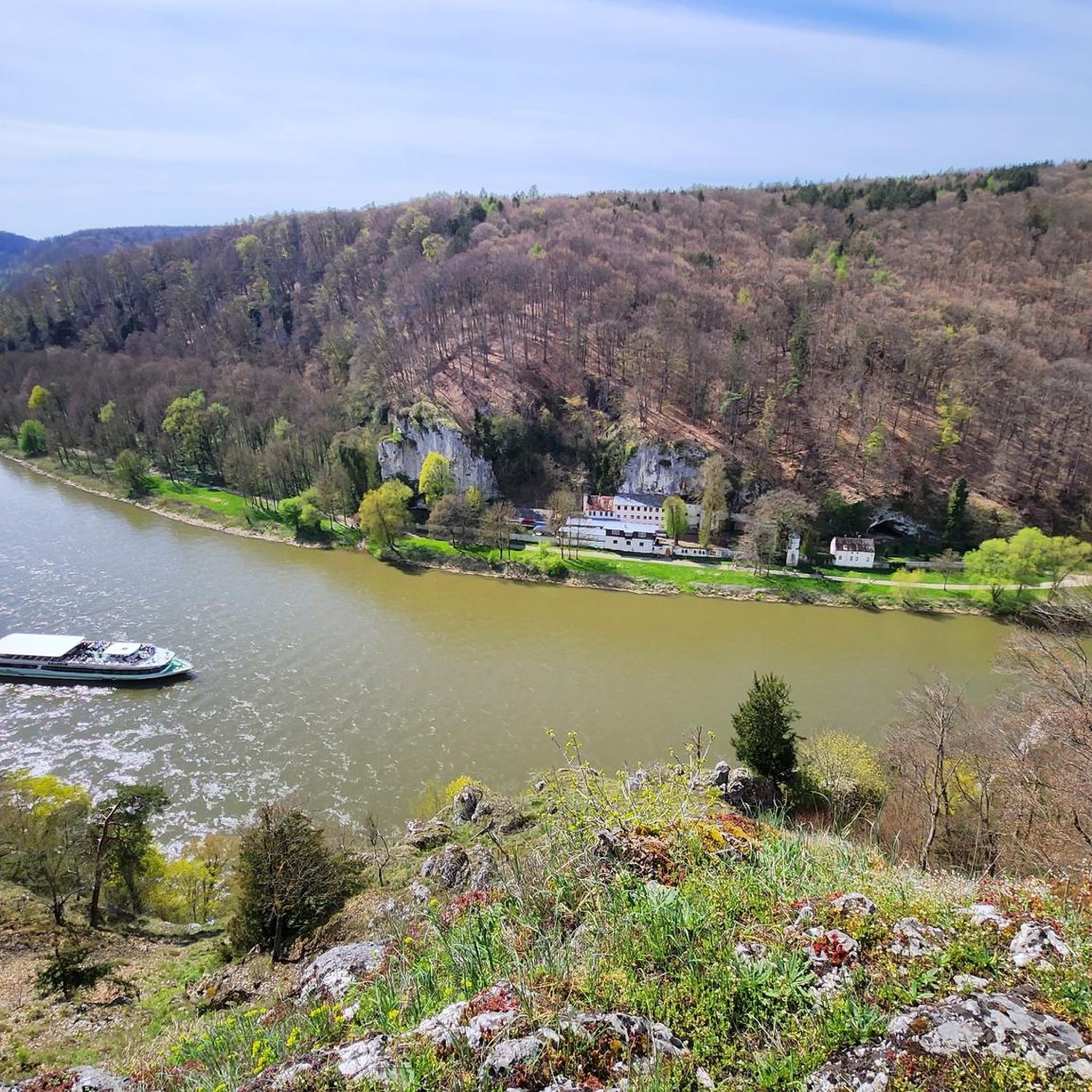
Cycling around Weltenburger Enge
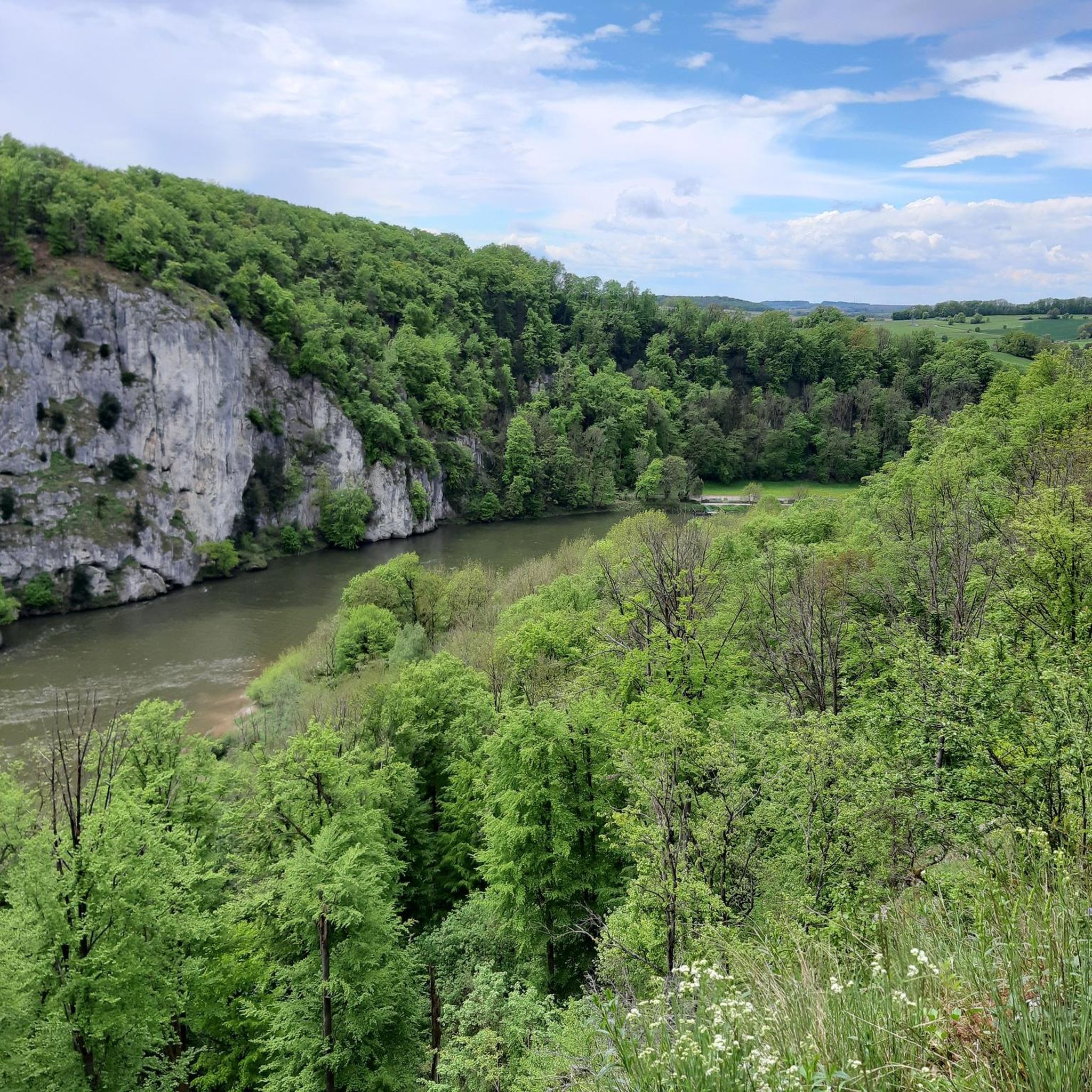
Hiking around Weltenburger Enge
MTB Trails around Weltenburger Enge
Running Trails around Weltenburger Enge
Road Cycling Routes around Weltenburger Enge

Gravel biking around Weltenburger Enge


Tips from the Community

From the location of the highlight, none of the described sights can be seen. You have to drive to the edge of the cliff or, better yet, climb the castle tower, then you'll have the described view.
0
0

At the pier you can also do the Kelheim round
0
0

A little sweating is part of it. It gets your circulation going :-)
1
0

Fantastic vantage point with a view of the Randeck ruins and the Altmühl valley
0
0

Great view from above
0
0

View from the hiking trail to Randeck Castle
0
0

Interesting
3
0
Very nice
3
0
Frequently Asked Questions
How many mountaineering routes are available in Weltenburger Enge?
There are 7 mountaineering routes around Weltenburger Enge, offering a range of experiences from easy to difficult. This includes 1 easy route, 4 moderate routes, and 2 difficult routes.
What kind of terrain can I expect on mountaineering routes in Weltenburger Enge?
The terrain in Weltenburger Enge is characterized by dramatic limestone cliffs rising 70-80 meters above the Danube River, forming a unique gorge. You'll encounter steep rock faces, diverse mixed forests, and paths along the flowing Danube, showcasing the region's ancient geological formations.
Are there any circular mountaineering routes in Weltenburger Enge?
Yes, many routes in Weltenburger Enge are designed as loops. For example, you can explore the Mountaineering loop from Kelheim, which offers varied terrain around the historic town, or the Tatzlwurm Wooden Footbridge – Randeck Castle loop from Hacklberg, leading through forested areas and past historical landmarks.
What are some notable landmarks or attractions I can see along the mountaineering routes?
Mountaineering routes in Weltenburger Enge often pass by significant landmarks. You can see the historic Weltenburg Monastery, the impressive Hall of Liberation in Kelheim, and the stunning Danube Gorge (Weltenburg Narrows) itself. The Beehive Rock Formation is another unique natural monument to look out for.
What do other mountaineers say about the routes in Weltenburger Enge?
The mountaineering routes in Weltenburger Enge are highly rated by the komoot community, with an average score of 4.6 stars from 5 reviews. Many of the 29 visitors who have used komoot to explore the area praise the dramatic landscapes, the unique geological features, and the combination of river views with challenging rock formations.
Are there any difficult mountaineering routes for experienced climbers?
Yes, for those seeking a challenge, there are difficult routes available. One such route is the Essing — Village and Cliffs – Randeck Castle loop from Essing, which covers nearly 12 km and features significant elevation changes, offering a more demanding experience.
Can I combine a mountaineering trip with a visit to Weltenburg Abbey?
Absolutely! Weltenburg Abbey is located directly at the Danube Gorge. You can take a mountaineering route that offers views of the abbey, such as the View of Weltenburg Abbey – Hall of Liberation, Kelheim loop from Kelheim, and then visit the abbey itself, which houses the world's oldest monastery brewery.
What makes the Danube Gorge in Weltenburger Enge so special for mountaineering?
The Danube Gorge (Donaudurchbruch) is a spectacular 6-kilometer-long section where the Danube River carves its path through towering limestone cliffs, reaching 70 to 80 meters high. These cliffs are Bavaria's first National Natural Monument and are geologically significant, formed from ancient coral and sponge reefs, making them one of Germany's most fossil-rich formations. This dramatic scenery provides a unique backdrop for mountaineering.
Are there any routes that offer views of both the Danube and historical town areas?
Yes, the Danube Promenade, Kelheim – Old Town Hall, Kelheim loop from Kelheim is a moderate route that provides excellent views along the river and takes you through Kelheim's historical areas, offering a blend of natural beauty and cultural exploration.
What is the best way to experience the Danube Gorge in addition to mountaineering?
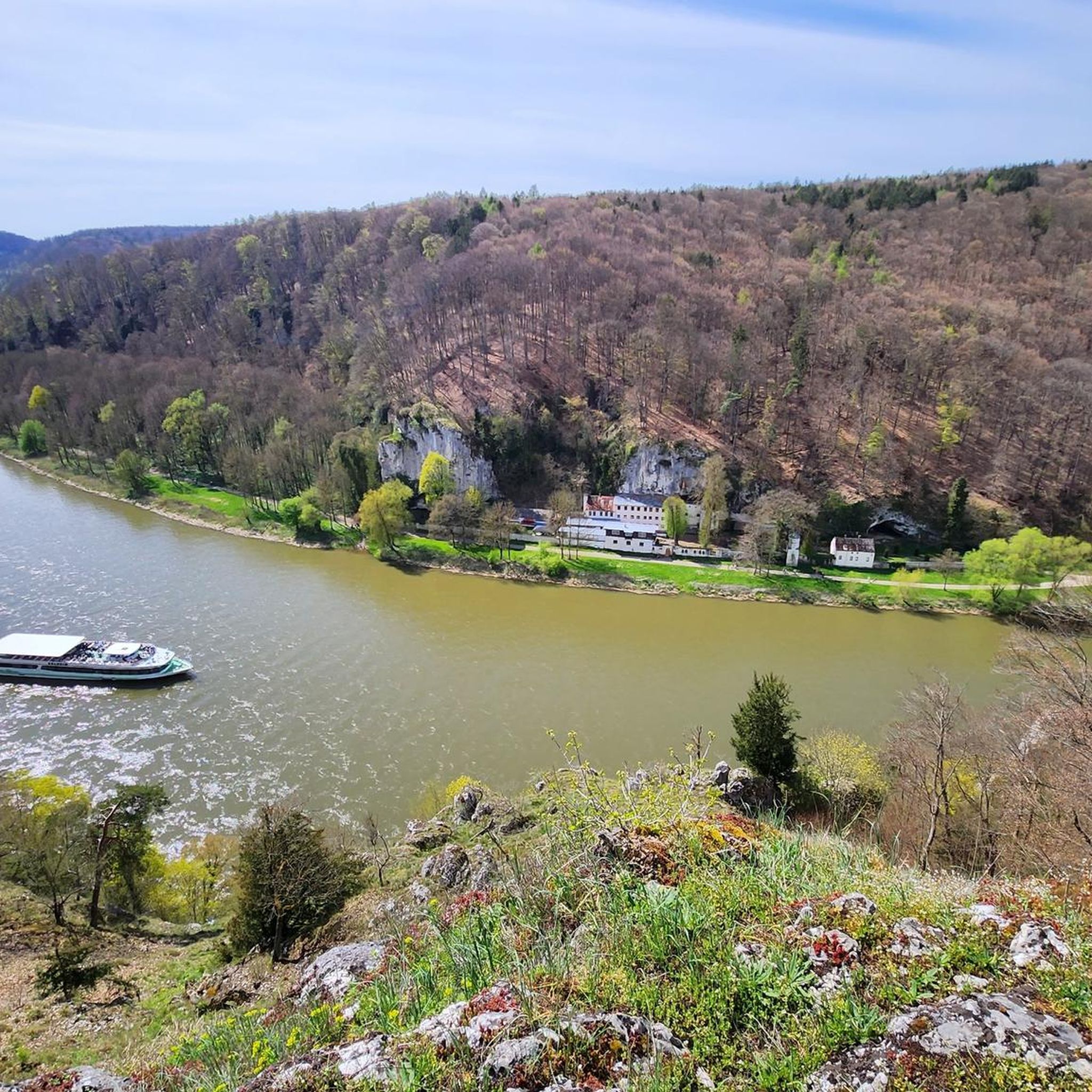
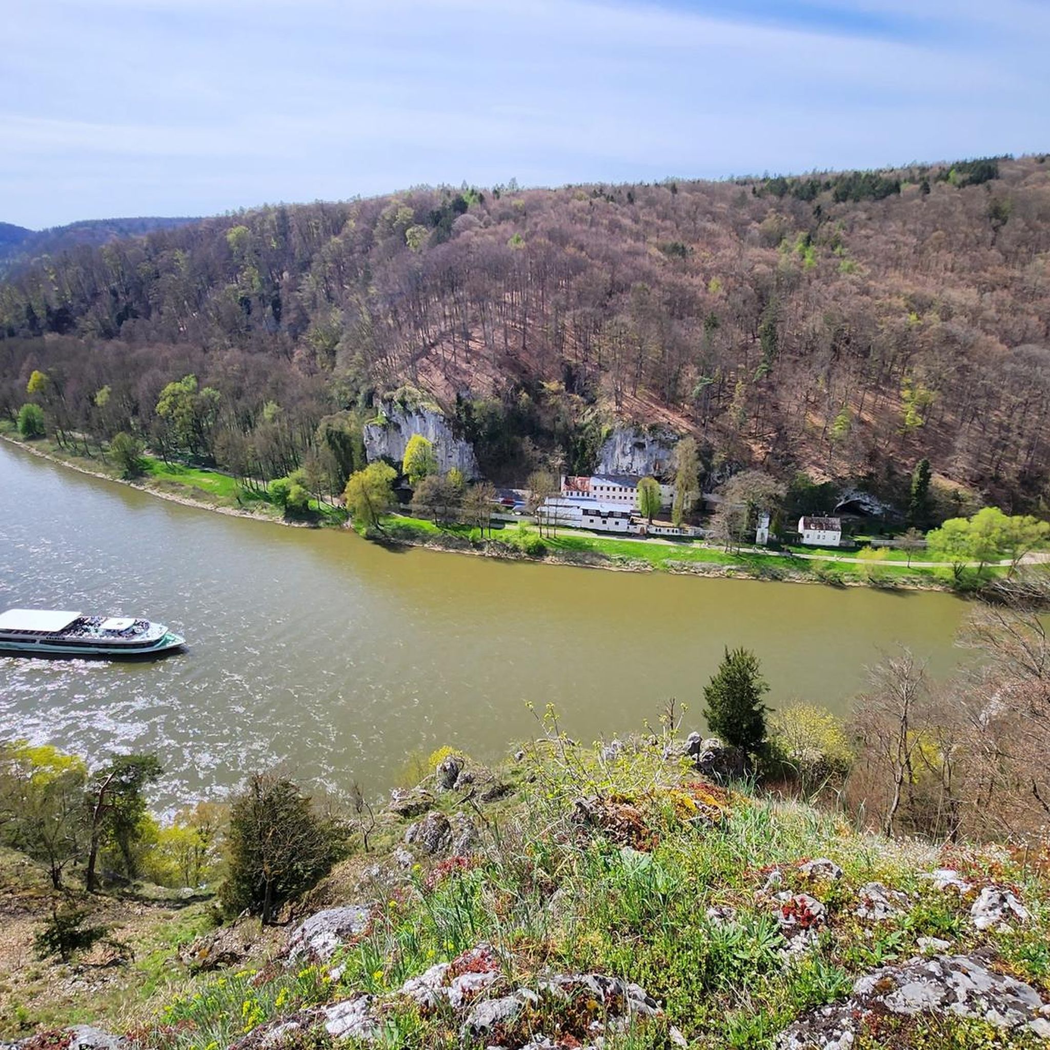
While mountaineering offers incredible perspectives from above, experiencing the Danube Gorge from the water is highly recommended. Boat trips through the gorge provide unparalleled views of the majestic cliffs rising directly from the river, complementing your land-based adventures.
What is the geological significance of the rock faces in Weltenburger Enge?
The towering rock faces in Weltenburger Enge are composed of Upper Jurassic limestone, formed about 150 million years ago from ancient coral and sponge reefs in a shallow, subtropical sea. They are considered some of Germany's most fossil-rich formations and are part of a designated geotope, recognized for its unique geological history and dramatic erosion by the Danube.
Most popular routes around Weltenburger Enge
Most popular attractions around Weltenburger Enge

Get inspired with the komoot mobile app


Explore more
Browse the best Mountain Hikes & Routes in other regions.
