The best mountain hikes around Pradell De La Teixeta
5.0
(1)
10
hikers
3
hikes
Mountaineering routes around Pradell De La Teixeta are situated within the rugged and diverse natural landscape of Catalonia, Spain. The region is characterized by the imposing steep reliefs, ravines, and abrupt limestone cliffs of the Serra de Llaberia, with peaks reaching up to 1000 meters. The Coll de Pradell de la Teixeta, a significant mountain pass, connects various areas for exploration. This terrain provides a challenging environment for mountaineering activities.
Best mountaineering routes around Pradell De La Teixeta
- The most…
Last updated: July 15, 2026
5
hikers
8.34km
03:22
500m
500m
Hard mountaineering route. Good fitness required. Sure-footedness, sturdy shoes and alpine experience required.
5.0
(1)
3
hikers
4.94km
01:41
240m
240m
Moderate mountaineering route. Great for any fitness level. Mostly accessible paths. Sure-footedness required.

Sign up for free
1
hikers
10.7km
04:37
800m
800m
Hard mountaineering route. Good fitness required. Sure-footedness, sturdy shoes and alpine experience required.
Our route recommendations are based on thousands of hikes, rides, and runs completed by other people on komoot.
Start today with a free account
Your next adventure awaits.
Login or Signup
Popular around Pradell De La Teixeta
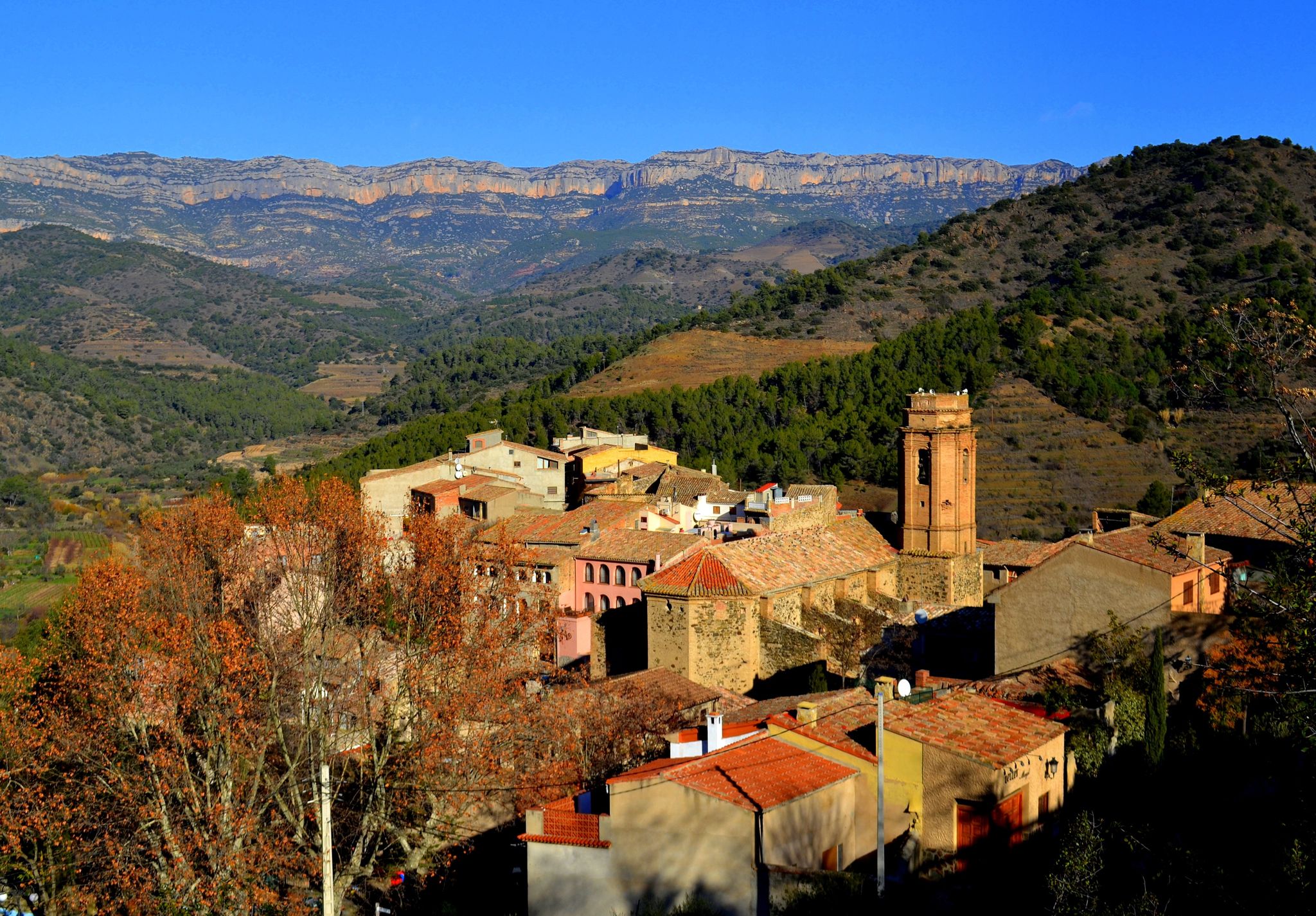
Mountains, views and vineyards – Sendero del Priorato (GR 174)
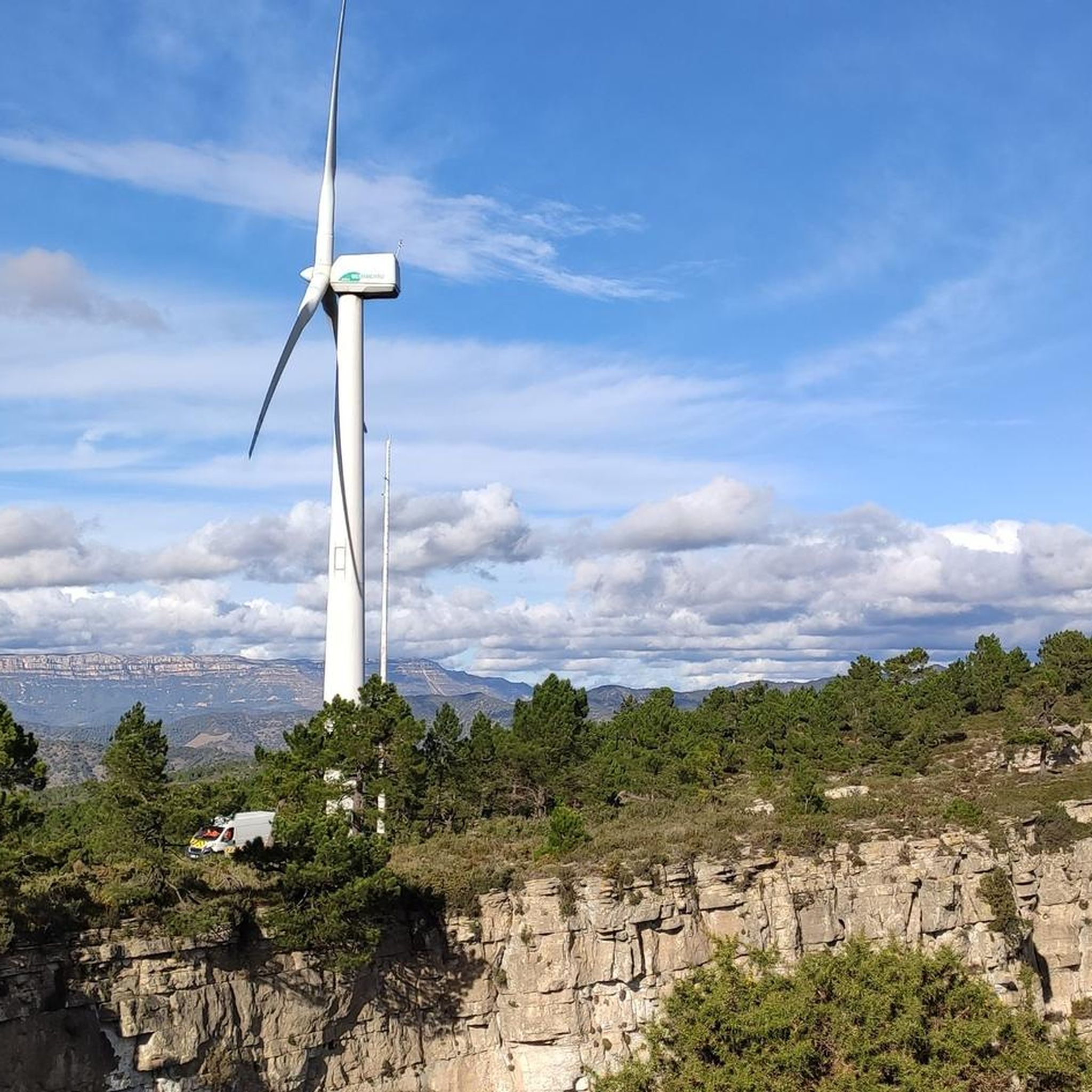
Road Cycling Routes around Pradell De La Teixeta
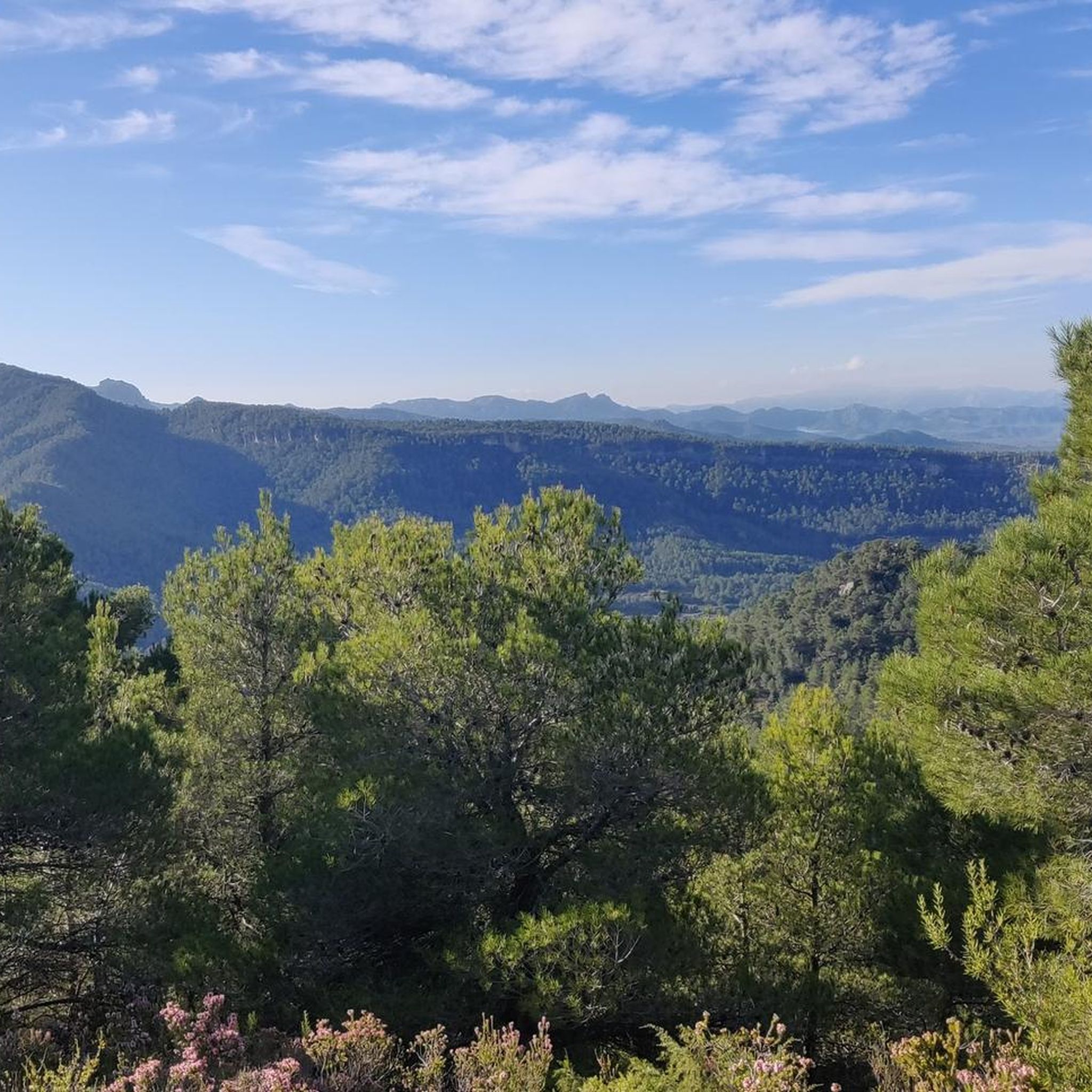
Hiking around Pradell De La Teixeta
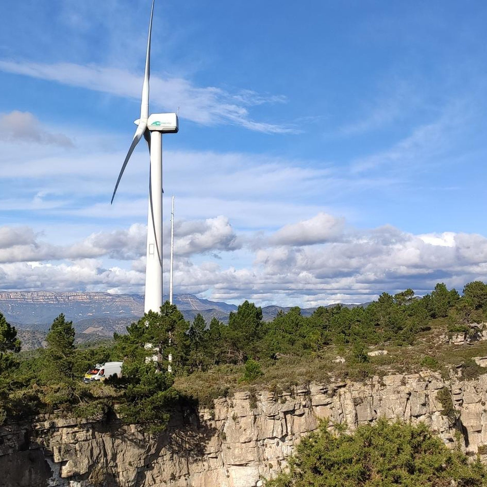
MTB Trails around Pradell De La Teixeta
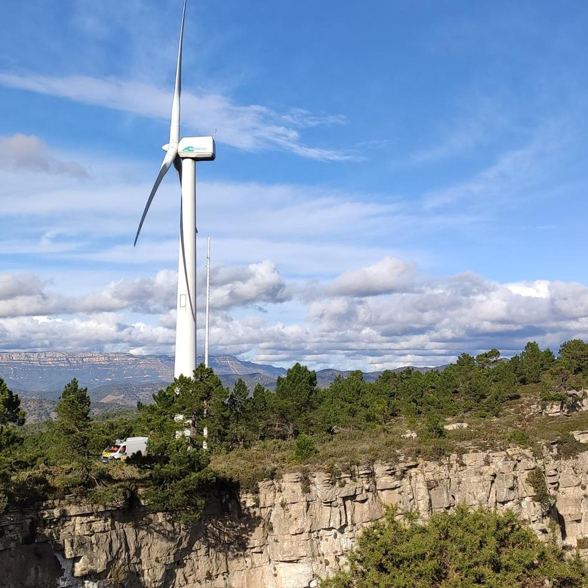
Cycling around Pradell De La Teixeta
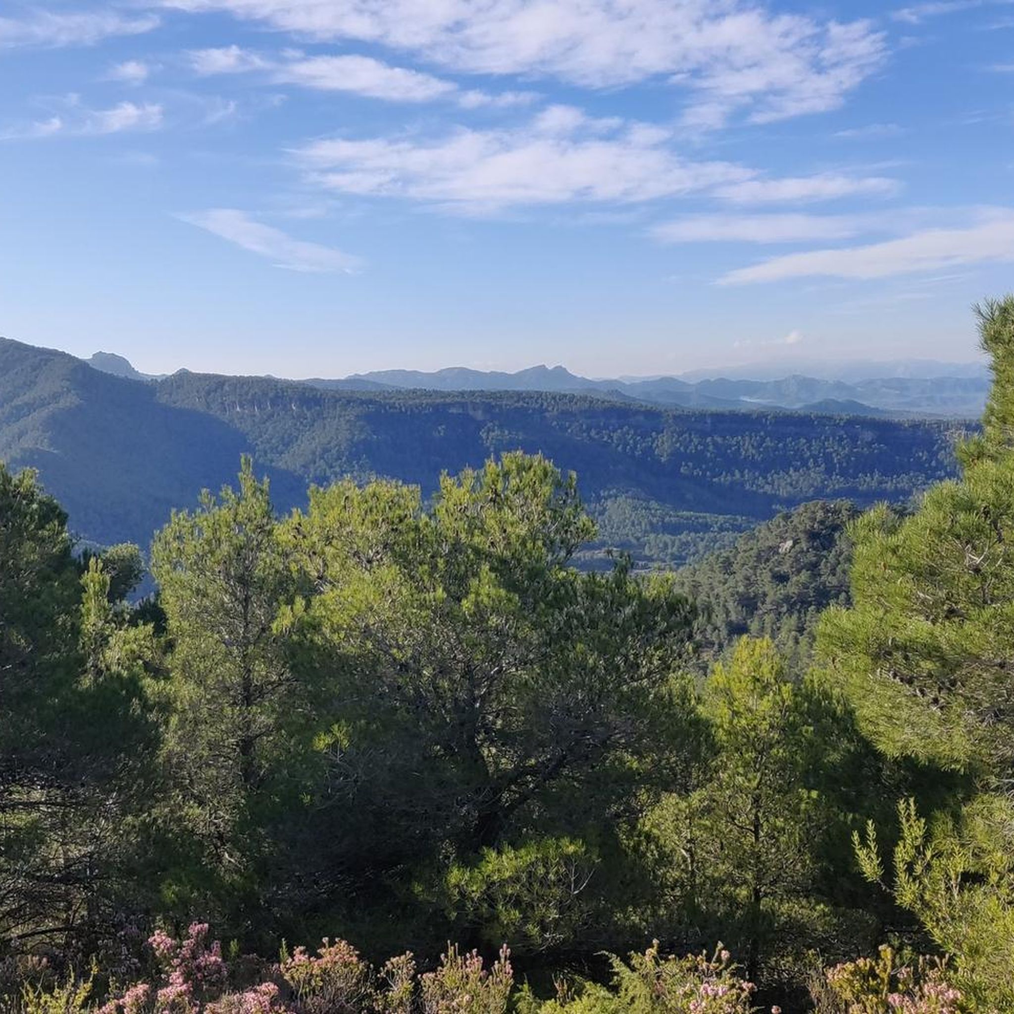
Running Trails around Pradell De La Teixeta
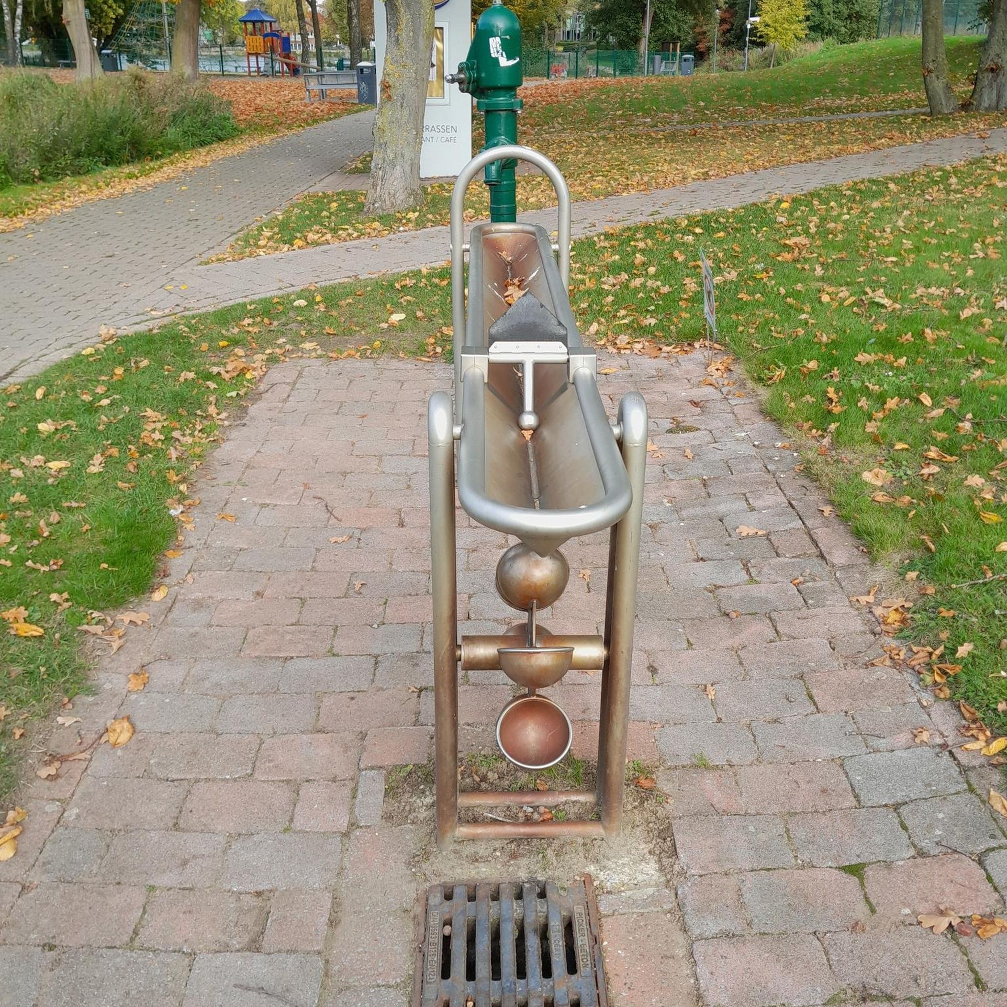
Gravel biking around Pradell De La Teixeta
Other adventures around Pradell De La Teixeta

Tips from the Community

A wonderful place with impressive views...!!!
0
0

Short stretch on a mix of scree and rock, to be tackled without problems with suitable footwear, also suitable for trained dogs and children accustomed to the mountains
0
0

Easy climb and spectacular views. Worth .
2
0

Highly recommended, there is also a restaurant up here and the view from here is simply amazing.
0
0

From up here you have a beautiful view.
0
0

It is a short section of barely 200 meters located on one of the slopes of the Mola de Colldejou. It runs through a fairly incline pan and ends in a meadow. You have to be careful with loose stones, because in some points it exceeds the 25% inclination.
1
0
Located in the highest part of the Mola de Colldejou and just a few meters from the castle, the view reaches the coast of Cambrils. You can also see the impressive Llaberia mountain range and the Pradell-L'Argentera mountain ranges.
1
0

try to go on one day every day, so there will be fewer people, there are more places to visit quickly and without difficulty
0
0
Frequently Asked Questions
What kind of terrain can I expect on mountaineering routes around Pradell De La Teixeta?
The mountaineering routes in this region are primarily characterized by the rugged and diverse natural landscape of the Serra de Llaberia. You'll encounter imposing steep reliefs, deep ravines, and abrupt limestone cliffs, with peaks reaching up to 1000 meters. The area is known for its rocky profiles and geological features, including numerous caves and grottoes.
Are there any moderate mountaineering routes suitable for less experienced climbers?
Yes, there are several moderate options. For instance, the Pla de l'Areny Rock Formations loop from Roca del Pagès is a moderate 4.9 km (3.0 miles) path that navigates through distinctive rock formations. Another moderate choice is the Punta de Fornells – la Miranda loop from Colldejou, which covers 11.2 km (7.0 miles) with significant elevation gain.
What are some of the more challenging mountaineering routes in the area?
For those seeking a challenge, the Mountaineering loop from Colldejou is a difficult 8.3 km (5.2 miles) trail with nearly 500 meters of ascent. Another demanding option is the La Miranda (918 m) – Cavall Bernat (840 m) loop from Colldejou, a difficult 10.7 km (6.7 miles) route leading through high peaks and dramatic terrain.
Are there any circular mountaineering routes available?
Yes, all the mountaineering routes highlighted in this guide are circular (loop) routes. This allows you to start and finish at the same point, making logistics easier. Examples include the Mountaineering loop from Colldejou and the Pla de l'Areny Rock Formations loop from Roca del Pagès.
What natural features or landmarks can I see along these routes?
The region is rich in natural beauty. You can explore the imposing Serra de Llaberia mountains, known for their limestone formations. Nearby, you might encounter gorges like Barranc de la Dòvia or Canaleta del Bondia. The area also features stunning viewpoints, such as the View of Siurana Reservoir and Siurana, and even a waterfall like Salt de la Sabinosa.
When is the best time of year for mountaineering in Pradell De La Teixeta?
Thanks to the south-facing orientation of many of the cliffs and the generally mild climate, mountaineering in Pradell De La Teixeta is enjoyable almost all year round, even in winter. However, spring and autumn offer particularly pleasant temperatures for extended climbs.
What are the typical lengths and elevation gains for mountaineering routes here?
The routes vary significantly. For example, a moderate route like the Pla de l'Areny Rock Formations loop from Roca del Pagès is about 4.9 km (3.0 miles) with around 240 meters of ascent. More difficult routes, such as the La Miranda (918 m) – Cavall Bernat (840 m) loop from Colldejou, can be up to 10.7 km (6.7 miles) long with nearly 800 meters of elevation gain.
Are there any viewpoints offering panoramic vistas on the mountaineering trails?
Absolutely. The region is known for its dramatic landscapes. Routes often lead to high points within the Serra de Llaberia, such as Mont-Redon, which is popular for its stunning views. You can also find specific viewpoints like the View of Siurana Reservoir and Siurana, offering magnificent panoramas of the surrounding mountains.
What do other mountaineers say about the routes in Pradell De La Teixeta?
The mountaineering routes around Pradell De La Teixeta are highly rated by the komoot community, with an average score of 5.0 stars. Users often praise the challenging terrain, the dramatic limestone cliffs, and the rewarding views from the peaks within the Serra de Llaberia.
Are there any specific geological formations worth seeing?
The limestone geology of the Serra de Llaberia is a defining feature. You'll encounter impressive rock formations, ravines, and abrupt cliffs. The area is also home to numerous caves, chasms, and grottoes, such as the large cave of Lo Rector and the gorge of Lo Petitot, showcasing the region's unique geological history.
How many mountaineering routes are available in this guide?
This guide features 4 distinct mountaineering routes around Pradell De La Teixeta, offering a range of difficulties from moderate to difficult, all within the stunning Serra de Llaberia.
Most popular routes around Pradell De La Teixeta
Most popular attractions around Pradell De La Teixeta

Get inspired with the komoot mobile app


Explore more
Browse the best Mountain Hikes & Routes in other regions.
