The best road cycling routes around Ben Lawers National Nature Reserve
4.8
(25)
1,719
riders
18
rides
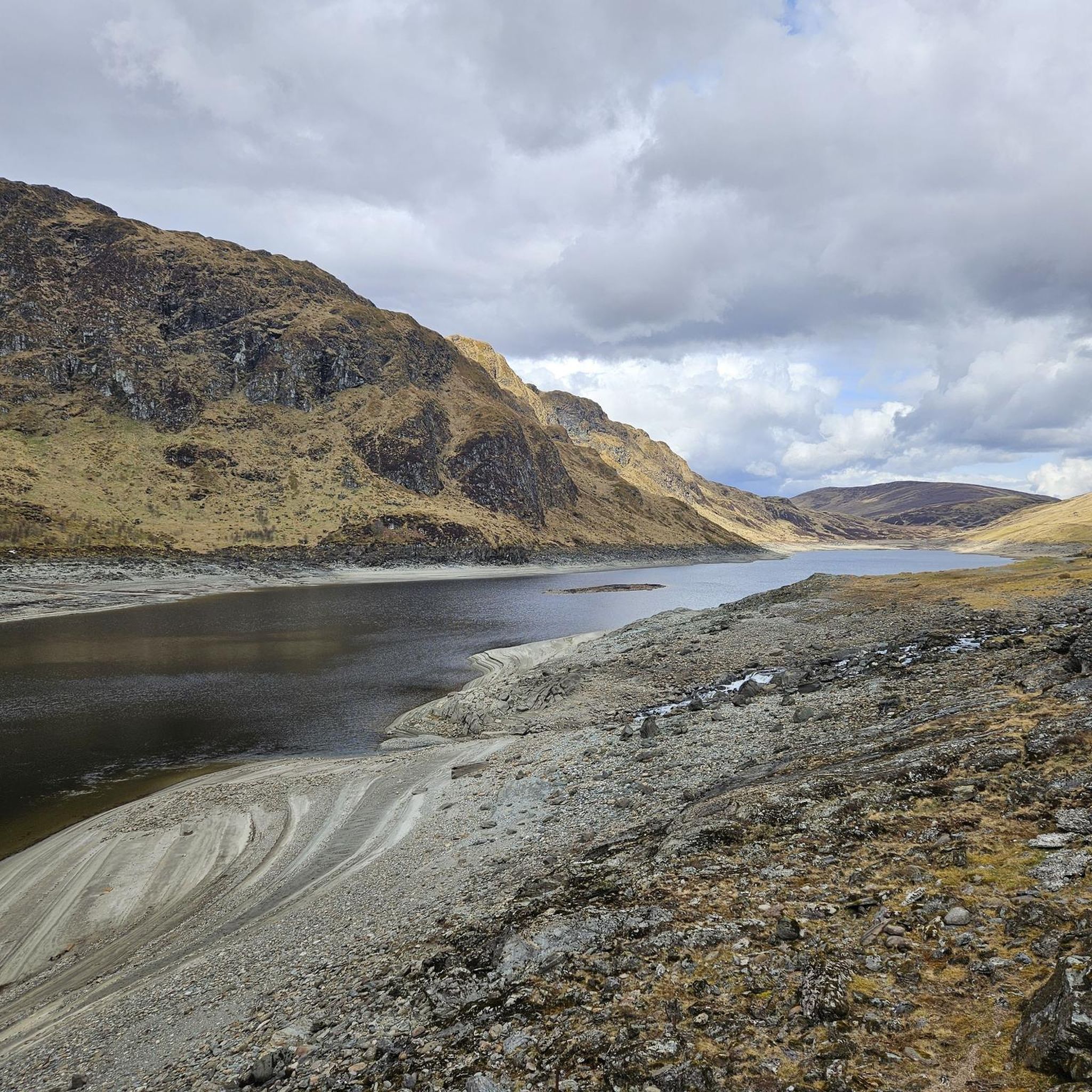
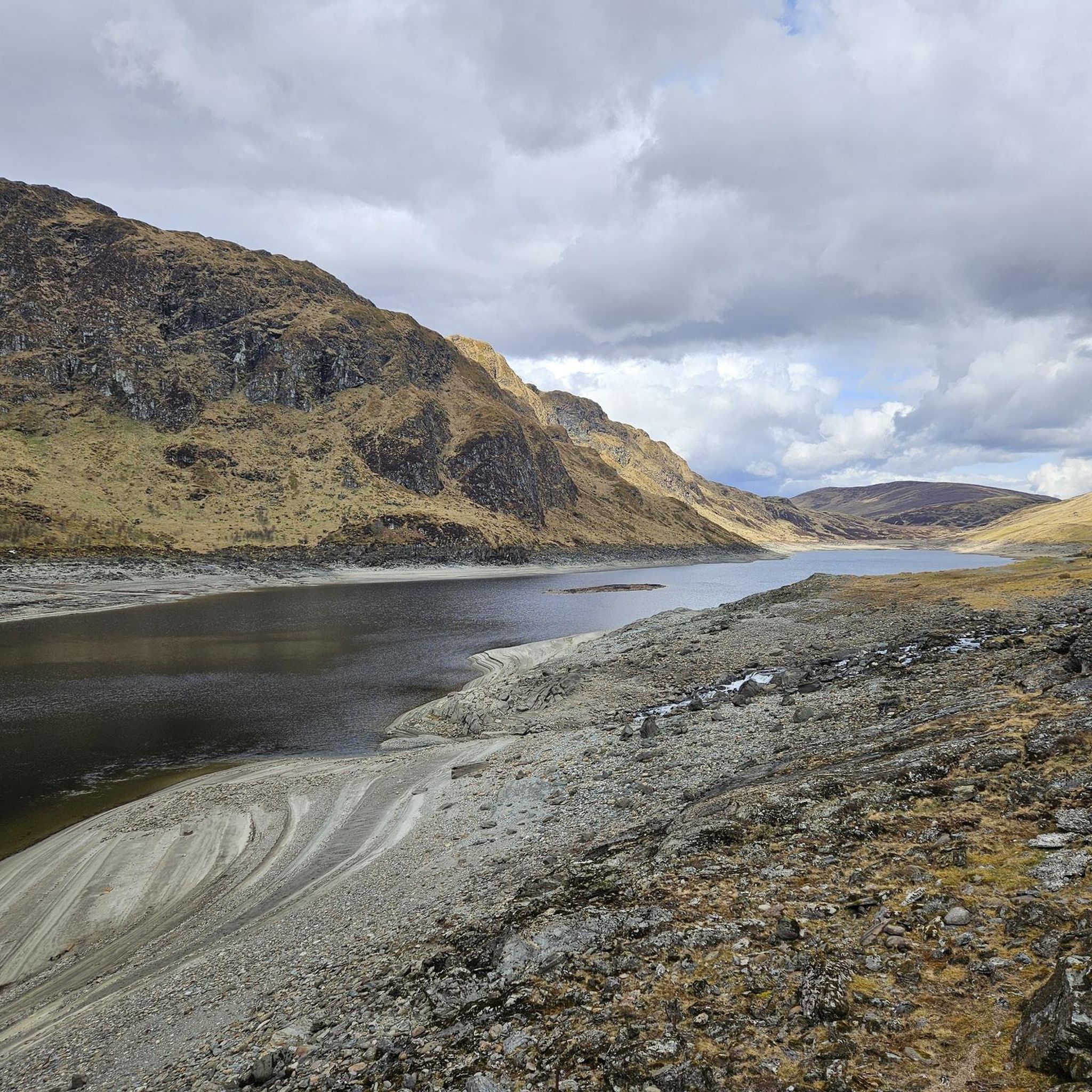
Road cycling routes around Ben Lawers National Nature Reserve traverse a landscape dominated by high mountains, deep glens, and expansive lochs. The area features significant elevation changes, with routes often climbing through mountain passes and descending into valleys. Road cyclists can expect to encounter a mix of open moorland, forested sections, and views across large bodies of water like Loch Tay and Loch Rannoch. The terrain provides varied challenges, from long climbs to undulating stretches along loch shores.
Best road cycling routes around Ben Lawers National Nature Reserve
- The most popular road cycling route is Loch Rannoch – Loch Rannoch South Shore loop from Burn of Edramurchy, a 83.3 miles (134.1 km) trail that takes 6 hours 13 minutes to complete. This challenging route offers extensive views of Loch Rannoch and its surrounding wilderness.
- Another top favourite among local road cyclists is Ben Lawers Dam – Glenlyon Post Office & Tearoom loop from Burn of Edramurchy, a Moderate 47.1 miles (75.9 km) path. This route features a mix of climbs and descents through Glen Lyon, one of Scotland's longest glens.
- Local road cyclists also love the Killin, Ben Lawers & Loch Tay loop, a 48.8 miles (78.5 km) trail leading through mountain passes and along Loch Tay, often completed in about 3 hours 49 minutes.
- Road cycling around Ben Lawers National Nature Reserve is defined by high mountain passes, scenic loch shores, and deep glens. The network offers options for different ability levels, from moderate rides to challenging climbs.
- The routes in Ben Lawers National Nature Reserve are highly rated by the komoot community with an average score of 4.5 stars from over 20 reviews. More than 2000 road cyclists have used komoot to explore Ben Lawers National Nature Reserve's varied terrain.
Last updated: September 27, 2026
241
riders
133km
06:09
1,450m
1,450m
Hard road ride. Very good fitness required. Mostly well-paved surfaces and easy to ride.
5.0
(1)
141
riders
75.9km
03:25
780m
780m
Moderate road ride. Good fitness required. Mostly well-paved surfaces and easy to ride.

5.0
(7)
232
riders
78.5km
03:49
970m
970m
Embark on the Killin, Ben Lawers & Loch Tay loop for a challenging road cycling adventure through Loch Lomond and The Trossachs National Park. This difficult route spans 48.8 miles (78.5 km) and climbs a significant 3181 feet (970 metres), offering continuous panoramic views across Loch Tay. You will often see the five mountains of the Ben Lawers ridge as you ride, experiencing a mix of open landscapes and winding roads through forestry land, especially on the climb towards Ben Lawers Dam.
This is a hard road ride that demands very good fitness due to its substantial elevation gain and distance, typically taking around 3 hours and 49 minutes to complete. Be prepared for the Ben Lawers Road, which is steep and bendy; some sections might even be gravelly, making descents tricky. You should also expect steep hills as you approach Killin towards the end of your ride. The A827 along the north shore can be quite busy, so plan your timing accordingly.
The route provides a rewarding experience for advanced road cyclists seeking routes near Ben Lawers within the Ben Lawers National Nature Reserve. A highlight includes a descent to Lochan na Lairige after the climb. The southern shore of Loch Tay offers a particularly pleasant ride with fantastic views and is generally quieter than the northern A827, allowing for a more serene cycling experience.
5.0
(3)
208
riders
53.6km
02:35
560m
560m
Embark on the Loch Tay loop from Killin for a moderate road cycling experience through Highland Perthshire. This route offers continuous views across Loch Tay, with the Tarmachan and Lawers mountain ranges providing a dramatic backdrop. You will cycle past the impressive Falls of Dochart in Killin village, enjoying the fresh air and open landscapes. The 33.3-mile (53.6 km) loop involves an elevation gain of 1828 feet (557 metres), making it a good challenge. You can expect to complete this ride in about 2 hours and 34 minutes.
When planning your ride, be aware that while this specific loop is rated moderate, the wider Loch Tay area can present more demanding cycling with significant elevation changes. This route largely follows the south side of the loch, which is often considered more suitable for cycling. Always prepare for undulating terrain, even on a moderate route like this one. Starting your ride from Killin provides easy access to the loop. Check local conditions before you go, especially regarding weather in the Scottish Highlands.
This road cycling loop is situated within the Ben Lawers National Nature Reserve, an area renowned for its unique alpine flora and diverse wildlife. The continuous views across Loch Tay and towards Ben Lawers from the southern shore road highlight the natural beauty of this protected landscape. The route offers a chance to immerse yourself in the stunning Scottish Highlands, making it a notable ride for those seeking scenic beauty and a good workout.
Embark on a scenic road cycling journey through Loch Lomond and The Trossachs National Park with the Killin, Falls of Docharty & Bridge of Orchy loop. This moderate route spans 64.2 miles (103.3 km) and features a significant 2823 feet (860 metres) of elevation gain, typically completed in about 4 hours and 23 minutes. You will experience the dramatic spectacle of the Falls of Dochart in Killin, where the river tumbles over rapids, especially impressive after rain. The ride also takes you alongside the serene River Orchy, offering views of its clear waters and the surrounding rolling hills. Expect diverse Scottish Highland scenery and a rewarding challenge for your racebike.
To prepare for this moderate road cycling loop, ensure you have a good level of fitness given its length and elevation. The route is best suited for road bikes, as it primarily follows well-paved surfaces. You will find that the trail largely utilizes quieter single-track roads, providing a more pleasant experience away from busier main roads. Plan your start time to allow ample daylight for the full duration, especially if you anticipate stopping for photos or breaks.
This route offers a deep dive into the natural beauty of the Scottish Highlands, showcasing the region's rugged charm. Beyond the impressive waterfalls, you will cycle through areas framed by a dramatic mountain backdrop, enhancing the grandeur of your ride. The journey along the River Orchy is particularly notable for its tranquil atmosphere and picturesque views, making it a highlight of this extensive loop.
Get access to more routes and recommendations from other explorers.
Already have an account?
Our route recommendations are based on thousands of hikes, rides, and runs completed by other people on komoot.
Start today with a free account
Your next adventure awaits.
Popular around Ben Lawers National Nature Reserve
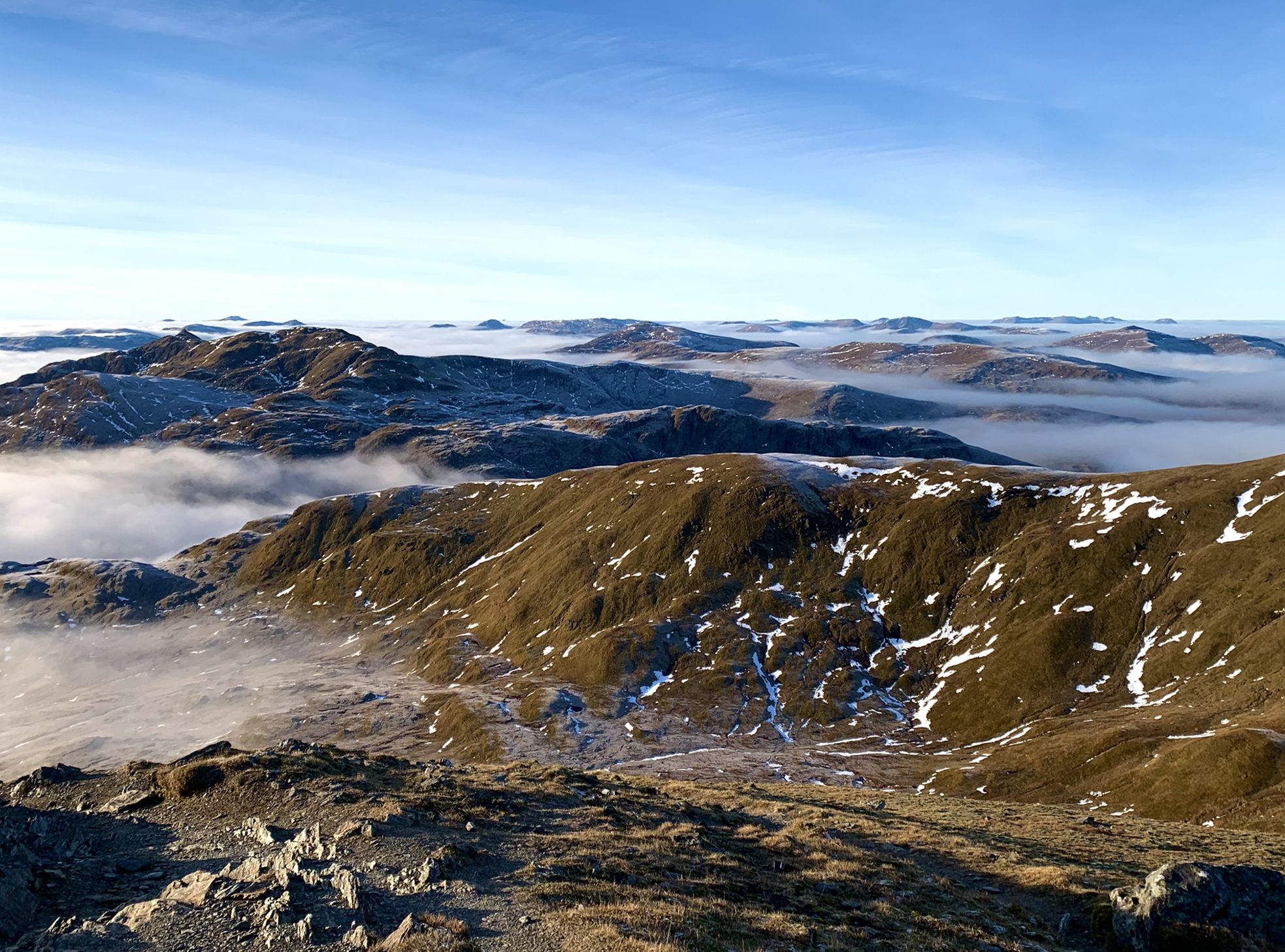
Hiking in Highland Perthshire – accessible giants and lovely glens
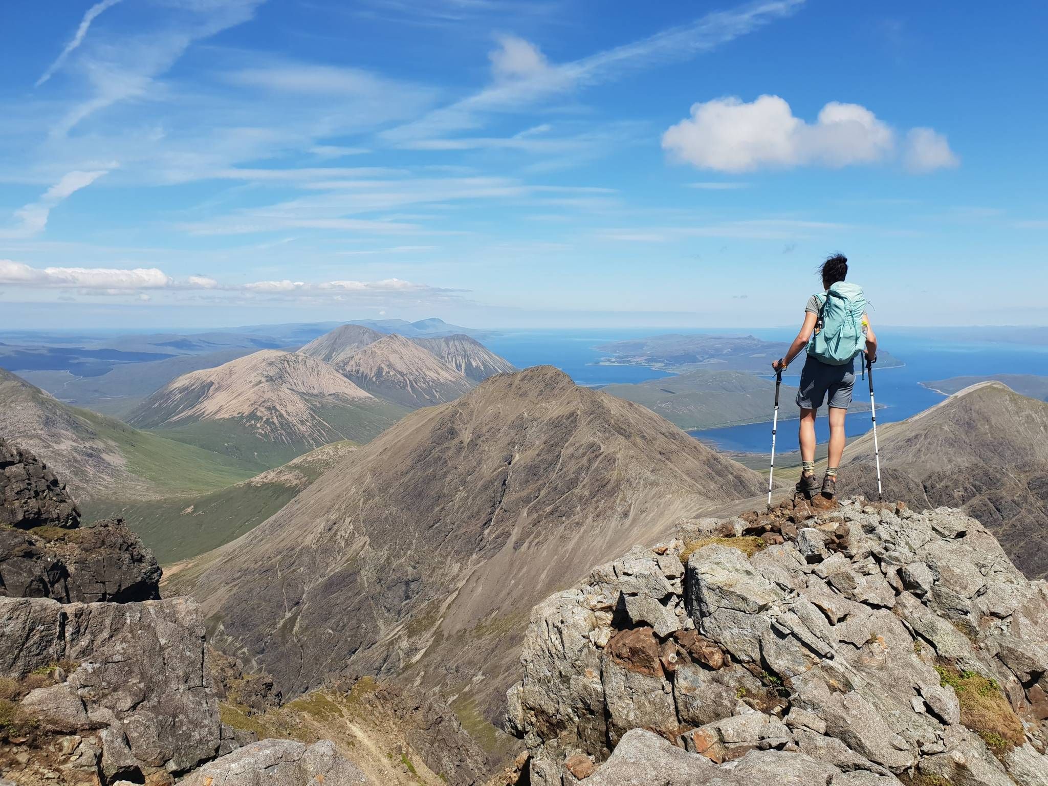
Hiking the 282 munro mountains of Scotland in 95 routes
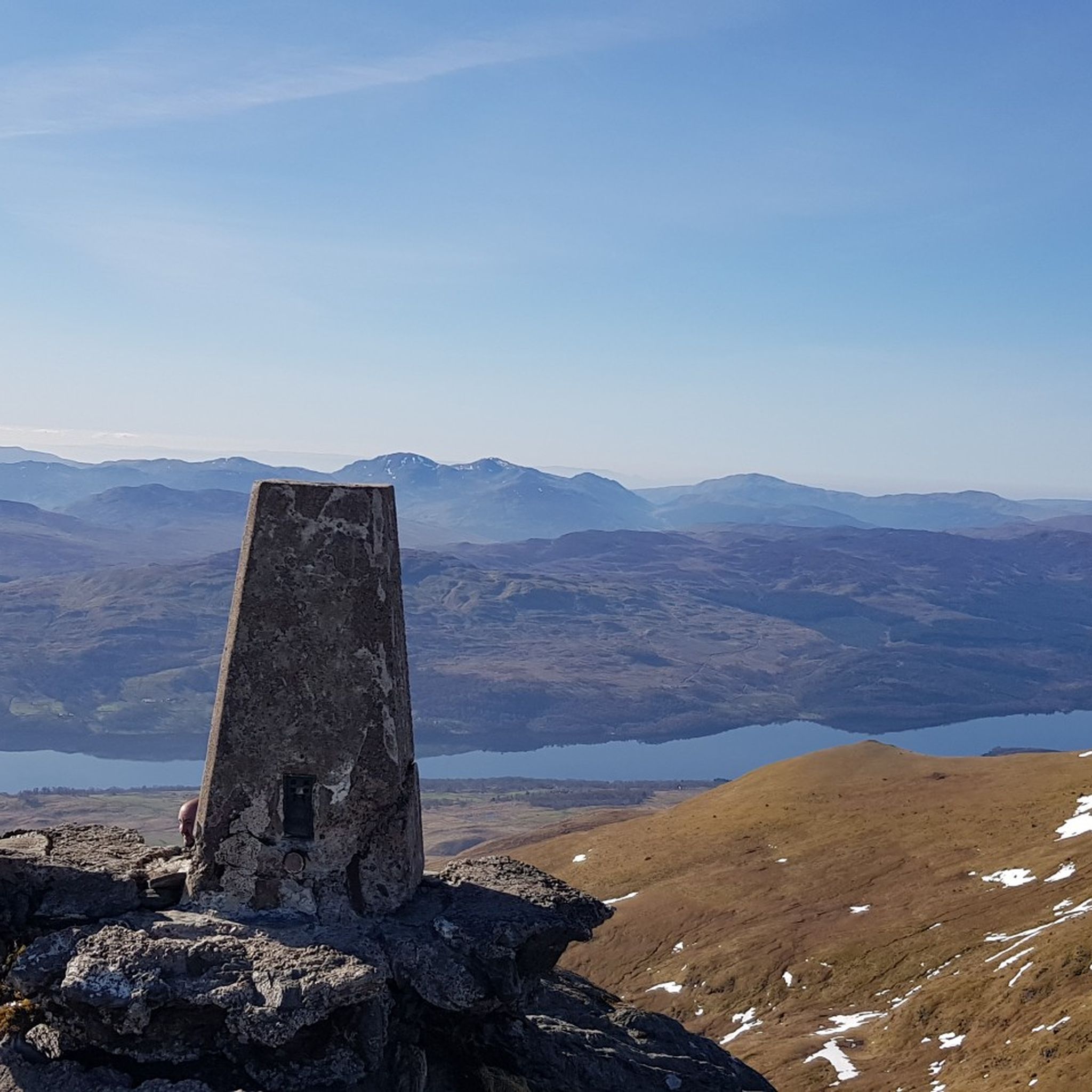
Hiking around Ben Lawers National Nature Reserve
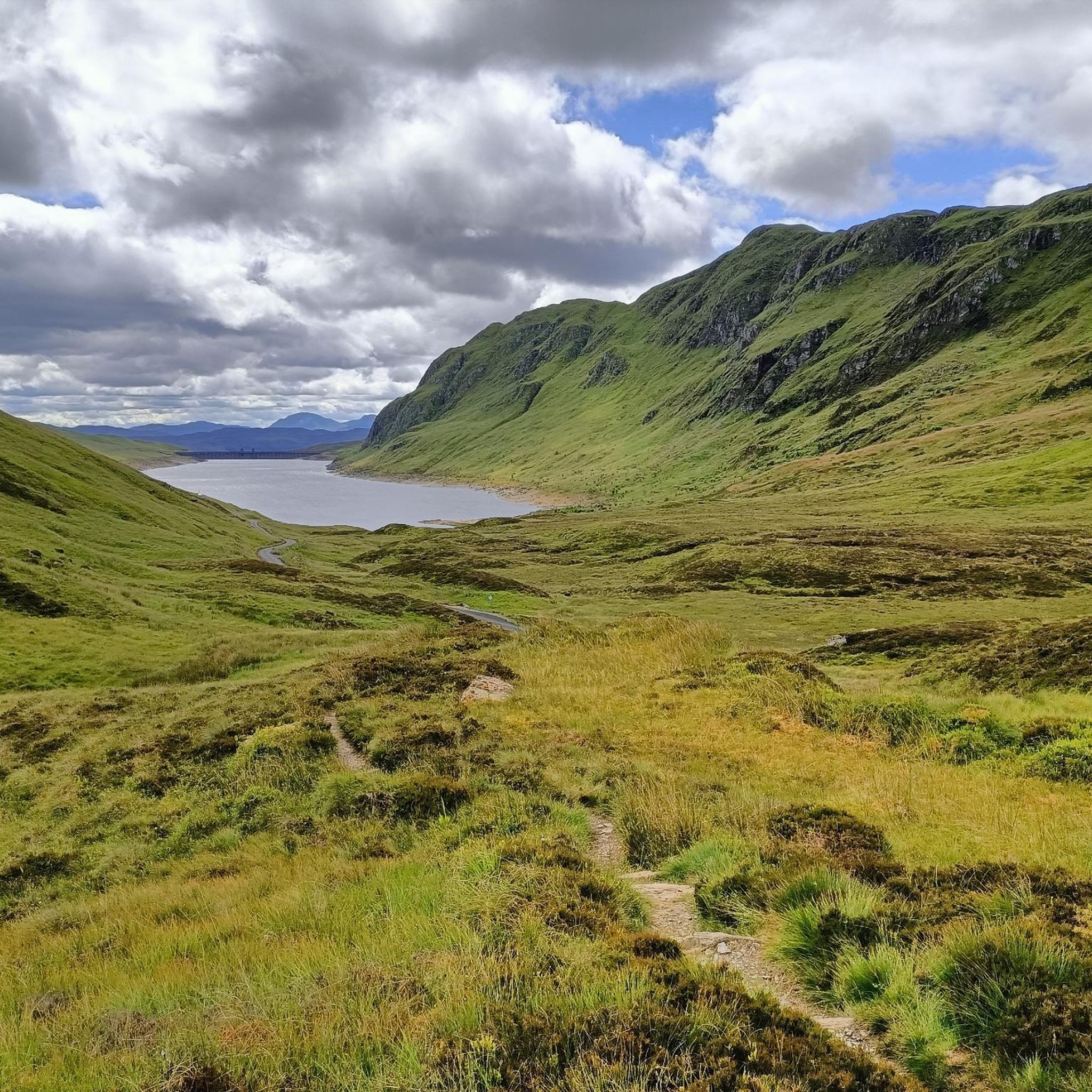
Running Trails around Ben Lawers National Nature Reserve
Cycling around Ben Lawers National Nature Reserve
MTB Trails around Ben Lawers National Nature Reserve

Gravel biking around Ben Lawers National Nature Reserve
Other adventures around Ben Lawers National Nature Reserve


Tips from the Community

The historic Bridge of Orchy bridge was built in 1751 under Major Caulfeild as part of the military road network after the Jacobite uprisings. With a distinctive stone arch, it crosses the rushing River Orchy. Hikers on the West Highland Way cross it just behind the hotel to begin the ascent to Màm Carraigh hill.
5
0

Stayed there for one night on my West Highland Way. Everything was great. The evening meal and breakfast in the morning were also good. Including a vegetarian burger.
0
0


Great camping, but the Scottish MIDGE need I say more. Scotland's only wild creature
0
0

Tends to be quieter after the Ben Lawers Car Park and the descent to Glen Lyon is fast. However, there are some blind corners in this descent so care must be taken as you do get the odd car coming the other way. Glen Lyon is one of the best wee Glens in Scotland.
0
0

We only spent the afternoon in the pub. Great selection of beers from the Harviestoun Brewery and friendly staff
0
0
Frequently Asked Questions
How many road cycling routes are available in Ben Lawers National Nature Reserve?
There are over 15 road cycling routes in Ben Lawers National Nature Reserve, offering a variety of experiences from moderate rides to challenging climbs through mountain passes and along loch shores.
Are there easy or beginner-friendly road cycling routes in Ben Lawers National Nature Reserve?
While many routes feature significant elevation changes, there are a few easier options available. The region offers 3 routes classified as easy, which are generally shorter and have less demanding climbs, making them suitable for beginners or those seeking a more relaxed ride.
What are the most challenging road cycling climbs in Ben Lawers National Nature Reserve?
For experienced cyclists seeking a challenge, the Ben Lawers area offers 2 difficult routes. One notable challenging route is the Loch Rannoch – Loch Rannoch South Shore loop from Burn of Edramurchy, which covers 83.3 miles with over 1,400 meters of elevation gain, providing extensive views and a demanding ride.
Are there circular road cycling routes around Ben Lawers National Nature Reserve?
Yes, many of the road cycling routes in the area are circular, allowing you to start and finish at the same point. For example, the Loch Tay loop from Killin offers a scenic circular ride around the loch.
What is the best time of year for road cycling in Ben Lawers National Nature Reserve?
The best time for road cycling in Ben Lawers National Nature Reserve is typically from late spring to early autumn (May to September). During these months, you can expect more stable weather, longer daylight hours, and less chance of snow or ice on higher passes. However, weather in the Scottish Highlands can be unpredictable, so always be prepared for changing conditions.
Where can I find parking for road cycling routes in the Ben Lawers area?
Parking options vary depending on the specific starting point of your route. Common places include small car parks at visitor centers, designated lay-bys along main roads, or village parking areas. Always check the route description for recommended starting points and parking information.
Is public transport available to access road cycling routes around Ben Lawers?
Public transport options to access the more remote road cycling routes around Ben Lawers National Nature Reserve are limited. Some local bus services may connect larger towns like Killin or Aberfeldy, but direct access to many trailheads is often best achieved by car. It's advisable to check local bus timetables in advance if planning to use public transport.
What can I see along the road cycling routes in Ben Lawers National Nature Reserve?
Road cycling routes in this area offer stunning views of high mountains, deep glens, and expansive lochs. You can pass by significant peaks such as Beinn Ghlas and the Ben Lawers summit, as well as enjoy vistas across Loch Tay and Loch Rannoch. The landscape provides a mix of open moorland and forested sections.
Are there any interesting landmarks or points of interest around Ben Lawers National Nature Reserve?
Beyond the natural beauty, the area is rich in points of interest. Cyclists can explore the historic Glen Lyon, often referred to as Scotland's longest glen, or pass through charming villages. The routes also offer views of various mountain peaks like Meall Corranaich summit and Meall Greigh, providing a sense of the region's dramatic landscape.
What do other road cyclists enjoy most about road cycling in Ben Lawers National Nature Reserve?
The area is highly rated by the komoot community, with an average score of 4.5 stars from over 20 reviews. Reviewers often praise the challenging climbs, the breathtaking scenery of the lochs and mountains, and the sense of wilderness experienced on routes like the Killin, Ben Lawers & Loch Tay loop.
Are there any cafes or pubs near the road cycling routes for a break?
While the Ben Lawers National Nature Reserve itself is quite wild, you'll find cafes and pubs in nearby villages such as Killin, Kenmore, or Fortingall. Routes like the Ben Lawers Dam – Glenlyon Post Office & Tearoom loop specifically mention a tearoom, indicating opportunities for refreshments along certain paths.
What kind of terrain can I expect on road cycling routes in Ben Lawers National Nature Reserve?
The terrain is diverse, characterized by significant elevation changes. You'll encounter long climbs through mountain passes, undulating stretches along loch shores, and descents into deep glens. The routes often traverse a mix of open moorland and forested sections, providing varied surfaces and scenic backdrops.
Most popular routes around Ben Lawers National Nature Reserve
Most popular attractions around Ben Lawers National Nature Reserve

Get inspired with the komoot mobile app


Explore more
Browse the best Road cycling routes in other regions.
