The best walks and hikes around Viñas
4.3
(3)
13
hikers
3
hikes
Hiking around Viñas offers trails through varied landscapes, including the Sierra de la Culebra mountain range and river valleys. The region features moderate elevation changes and diverse natural environments. These routes provide opportunities to explore the local geography, from forested areas to open terrain.
Best hiking trails around Viñas
- The most popular hiking route is Barranco Cibeo y Peña Mira — circular por la Sierra de la Culebra, a 7.5 miles (12.1 km) trail that takes 3 hours 40…
Last updated: July 4, 2026
5
hikers
12.1km
03:40
420m
420m
Moderate hike. Good fitness required. Mostly accessible paths. Sure-footedness required.
3.5
(2)
3
hikers
14.8km
04:13
340m
340m
Moderate hike. Good fitness required. Easily-accessible paths. Suitable for all skill levels.

Sign up for free
1
hikers
10.1km
02:44
140m
130m
Moderate hike. Good fitness required. Easily-accessible paths. Suitable for all skill levels.
1
hikers
11.7km
03:21
280m
280m
Moderate hike. Good fitness required. Easily-accessible paths. Suitable for all skill levels.
7.62km
02:14
210m
210m
Moderate hike. Good fitness required. Easily-accessible paths. Suitable for all skill levels.
Our route recommendations are based on thousands of hikes, rides, and runs completed by other people on komoot.
Start today with a free account
Your next adventure awaits.
Login or Signup
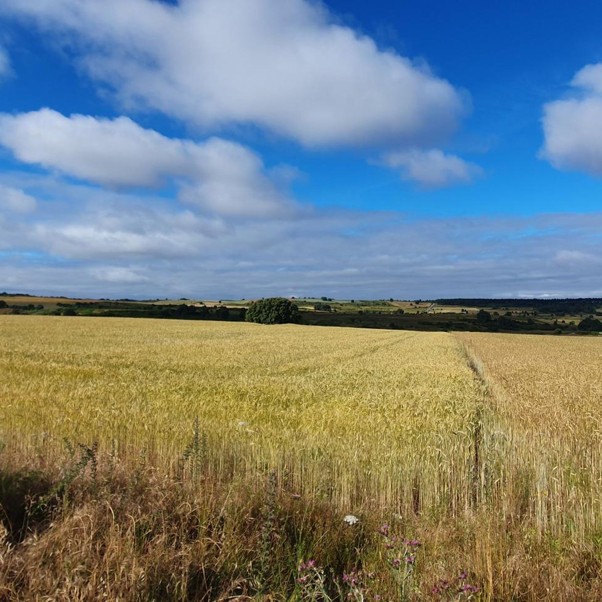
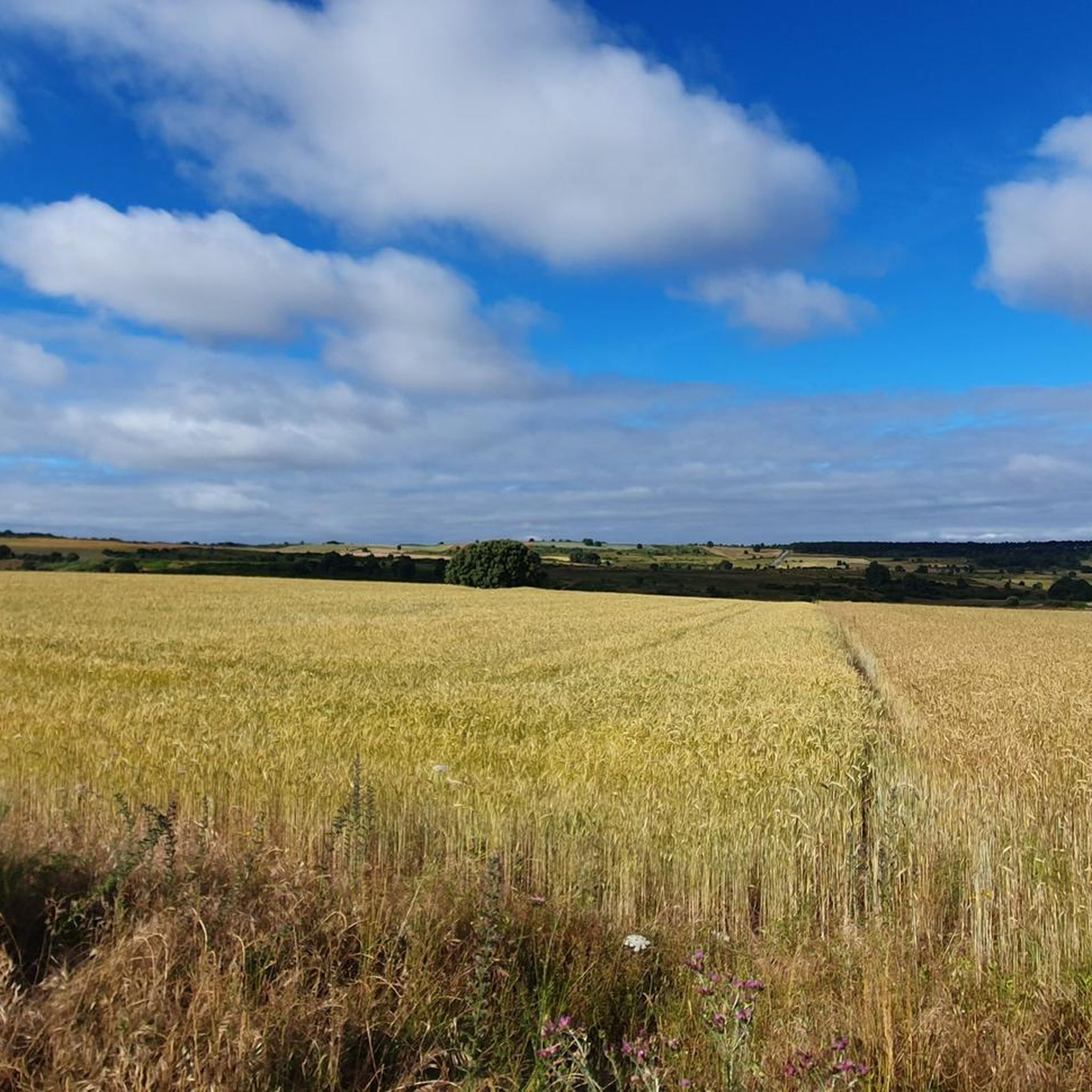


Tips from the Community

Peña el Pingón is a prominent natural landmark on the hiking trails of Alcañices. Located in a spectacular setting, it is one of the most highly recommended spots by both local and visiting hikers. At the base of Peña el Pingón, or in its immediate vicinity, lies a cave, seamlessly integrated into the surrounding rocky landscape. It adds to the area's charm and is a popular stopping point on hiking routes.
2
0

Spectacular view from the top. Reaching 1,240 meters above sea level, on a clear day you can have a panoramic view of the surrounding landscape.
1
0
Following the undulating curves of the Ribera de Arriba along the gravel track of the canyon, crossing paths through pine forests, the river is crossed by a small bridge. You can stop and cool off in the waters on a warm summer day.
1
0

Close to the forest border between Spain and Portugal, we are surprised by this beautiful picture that offers us a forest track between pine forests while we walk along a wide dirt road.
3
0
At this point of the route we find the El Pingón rock located in a spectacular environment, just like the kilometers that lie ahead of us. In the place there is a cave and a picturesque bridge.
3
0
After crossing a narrow valley we arrive at Boca Barreros where we can admire the reservoir that makes up the dam of the same name. To your left is the Barreros Fountain signposted.
2
0
Arriving at Fuente Ferrada, we can rest in the picnic area sheltered in the shade of hundred-year-old holm oaks, accompanied by the sound of the waters and enjoying the peace that is breathed in this place.
2
0
Beautiful picture that the Arroyo del Valle gives us as we walk the path that accompanies it for a long and picturesque stretch.
2
0
Frequently Asked Questions
What kind of hiking trails can I expect around Viñas?
Hiking around Viñas features diverse landscapes, including the Sierra de la Culebra mountain range and various river valleys. The trails generally involve moderate elevation changes, offering a mix of forested areas and open terrain. All routes in this guide are rated as moderate.
Are there any circular hiking routes available in Viñas?
Yes, Viñas offers several circular hiking routes. For example, the Barranco Cibeo y Peña Mira — circular por la Sierra de la Culebra is a popular choice exploring the Sierra de la Culebra. Another option is the Via verde del rio Angueira — circular desde Alcanices, which takes you through river valleys. The Riverbank of the Cabrón stream — circular from Figueruela de Arriba also provides a scenic loop.
What is the typical duration and distance for hikes in Viñas?
The hiking trails in this guide around Viñas vary in length and duration. You can find routes ranging from approximately 7.6 km (4.7 miles) taking about 2 hours 13 minutes, up to 14.8 km (9.2 miles) which can take around 4 hours 13 minutes to complete. All routes are rated as moderate.
What are some interesting natural landmarks or attractions to see while hiking in Viñas?
While hiking in Viñas, you can discover several natural landmarks. Highlights include the Fidionda Spring and the unique Peña el Pingón Cave and Bridge. You might also encounter the Fontano Stream Bridge or the Puente de la Canzona. For scenic views, consider the View of São Julião in the Montesinho Natural Park.
Are the hiking trails in Viñas suitable for families with children?
The trails around Viñas are generally rated as moderate. While they offer beautiful scenery, some routes might be challenging for very young children due to their length and moderate elevation changes. Shorter circular options like the Riverbank of the Cabrón stream — circular from Figueruela de Arriba (7.6 km) could be more suitable for families looking for a less strenuous experience.
What is the best season for hiking in Viñas?
The best season for hiking in Viñas typically spans from spring to autumn. During these months, the weather is generally mild and pleasant, making for comfortable hiking conditions. Spring brings blooming flora, while autumn offers beautiful fall colors. Summers can be warm, so early morning or late afternoon hikes are recommended.
What do other hikers enjoy most about the trails in Viñas?
The hiking experience in Viñas is highly regarded by the komoot community, with an average score of 5.0 stars. Hikers often praise the diverse natural environments, the tranquility of the river valleys, and the opportunity to explore the Sierra de la Culebra. The well-maintained paths and scenic viewpoints are also frequently highlighted.
Are there any less crowded hiking options around Viñas?
While specific crowd levels can vary, exploring routes slightly off the most popular paths can offer a quieter experience. The Peña Beneita Route or the Riverbank of the Cabrón stream — circular from Figueruela de Arriba might provide a more secluded feel compared to the more frequently visited trails.
What should I wear for hiking in Viñas?
Given the moderate terrain and varied landscapes, it's advisable to wear comfortable hiking boots with good ankle support. Layered clothing is recommended to adapt to changing weather conditions, especially in spring and autumn. Don't forget sun protection, a hat, and plenty of water, particularly during warmer months.
Are there any historical villages or settlements near the hiking routes?
Yes, you can find interesting settlements near the hiking routes. For instance, the Via verde del rio Angueira — circular desde Alcanices starts near Alcanices. You can also explore the Nuez de Aliste Historic Village Center, which offers a glimpse into the local heritage.
What are the easiest hiking trails in Viñas?
All the routes in this guide are classified as moderate. However, for a shorter and potentially less strenuous option, the Riverbank of the Cabrón stream — circular from Figueruela de Arriba is the shortest at 7.6 km (4.7 miles) and takes about 2 hours 13 minutes, making it a good choice for those seeking a more relaxed hike.
Most popular attractions around Viñas

Get inspired with the komoot mobile app


Explore more
Browse the best Hikes in other regions.
