The best walks and hikes around Meranges
4.5
(147)
1,710
hikers
30
hikes
Hiking around Meranges offers diverse experiences in Catalonia's highest-altitude municipality, set within the dramatic Pyrenean landscapes. The region features prominent glacial lakes such as Estany Sec and Estany de Malniu, alongside the significant Puigpedrós peak at 2,911 meters. Extensive Pyrenean forests, including the Meranges and Carbassa forests, provide varied terrain, while the Duran river basin shapes the Vall Tova. These natural features contribute to some of the best hiking routes Meranges has to offer.
Best hiking trails around Meranges
- The most popular hiking route is Puigpedrós and Engorgs Cirque Loop from Malniu, a 7.6 miles (12.2 km) trail that takes 6 hours 0 minutes to complete. This difficult route offers high-mountain vistas and views of glacial lakes.
- Another top favourite among local hikers is Meranges - Refugi de Malniu Loop, a moderate 7.5 miles (12.1 km) path. This trail winds through Pyrenean forests and past glacial lakes to the Malniu Mountain Hut.
- Local hikers also love the The lakes of the Refugio de Malniu - Estany Sec, Estany de Malniu and Estany de Mal, a 4.7 miles (7.5 km) trail leading through glacial lakes, often completed in about 2 hours 27 minutes.
- Hiking around Meranges is defined by high mountain peaks, Pyrenean forests, and numerous glacial lakes. The network offers options for different ability levels, from moderate forest paths to challenging ascents.
- The routes in Meranges are highly rated by the komoot community with an average score of 4.5 stars from over 120 reviews. More than 1600 hikers have used komoot to explore Meranges's varied terrain.
Last updated: July 7, 2026
4.9
(11)
75
hikers
12.2km
06:00
850m
850m
Hike the difficult 7.6-mile Puigpedrós and Engorgs Cirque Loop from Malniu for high-mountain views and glacial lakes.
4.9
(8)
53
hikers
Moderate hike. Good fitness required. Mostly accessible paths. Sure-footedness required.

Sign up for free
5.0
(1)
22
hikers
12.1km
04:58
730m
730m
Hike the moderate 7.5-mile Meranges - Refugi de Malniu Loop, exploring Pyrenean forests, glacial lakes, and the Malniu Mountain Hut.
4.8
(13)
188
hikers
12.2km
06:33
990m
990m
Hard hike. Very good fitness required. Sure-footedness, sturdy shoes and alpine experience required.
4.5
(8)
154
hikers
3.05km
01:12
120m
120m
Moderate hike. Great for any fitness level. Mostly accessible paths. Sure-footedness required.
Get access to more routes and recommendations from other explorers.
Sign up for free
Already have an account?
Our route recommendations are based on thousands of hikes, rides, and runs completed by other people on komoot.
Start today with a free account
Your next adventure awaits.
Login or Signup


Other adventures around Meranges

Tips from the Community

If you want to see what the arrival at the lake is like https://www.youtube.com/watch?v=2-kwjBhEkwU
0
0

Collado of 2634 m altitude with impressive views, pass point prior to the ascent to Puigpedros to the east.
0
0
Starting point for various routes such as Puigpedros or Estany de Malniu, if you have the chance, try the refuge cake, amazing!
0
0
Words are superfluous, you have to see it and enjoy it ;-)
0
0
Very easy ascent and impressive views.
1
0

This small refuge, is in fact an unguarded and self-managed hut. It offers shelter from bad weather but has no electricity, no mattresses and no more running water (but this runs in many rivers nearby). You will find all the information about the refuge here: https://www.feec.cat/refugi/refugi-engorgs-joaquim-folch-i-girona/
0
0

The church of Sant Serni de Meranges, also known as Sant Sadurní, is a parish church located in the town of Maranges in the Cerdanya region.
1
0
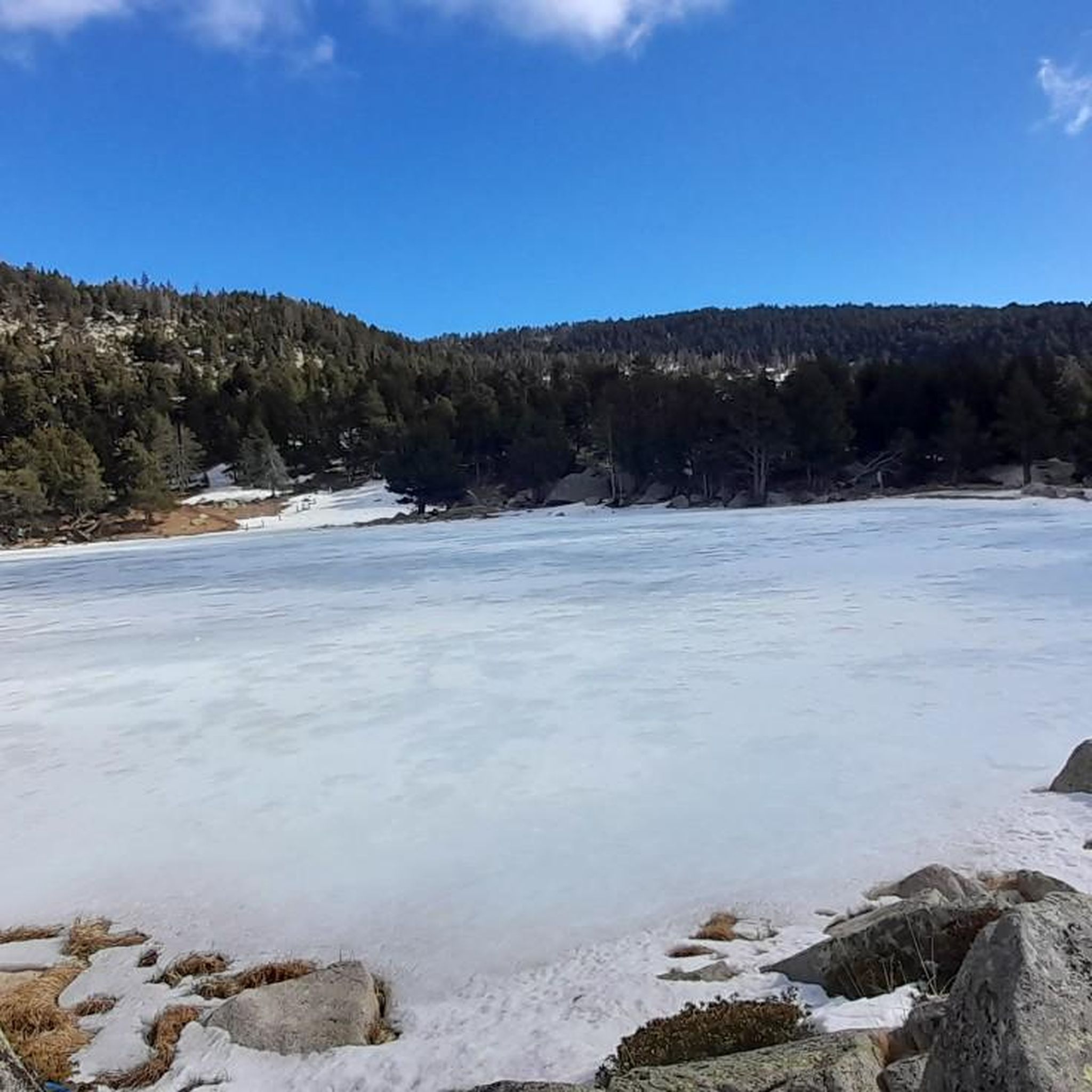
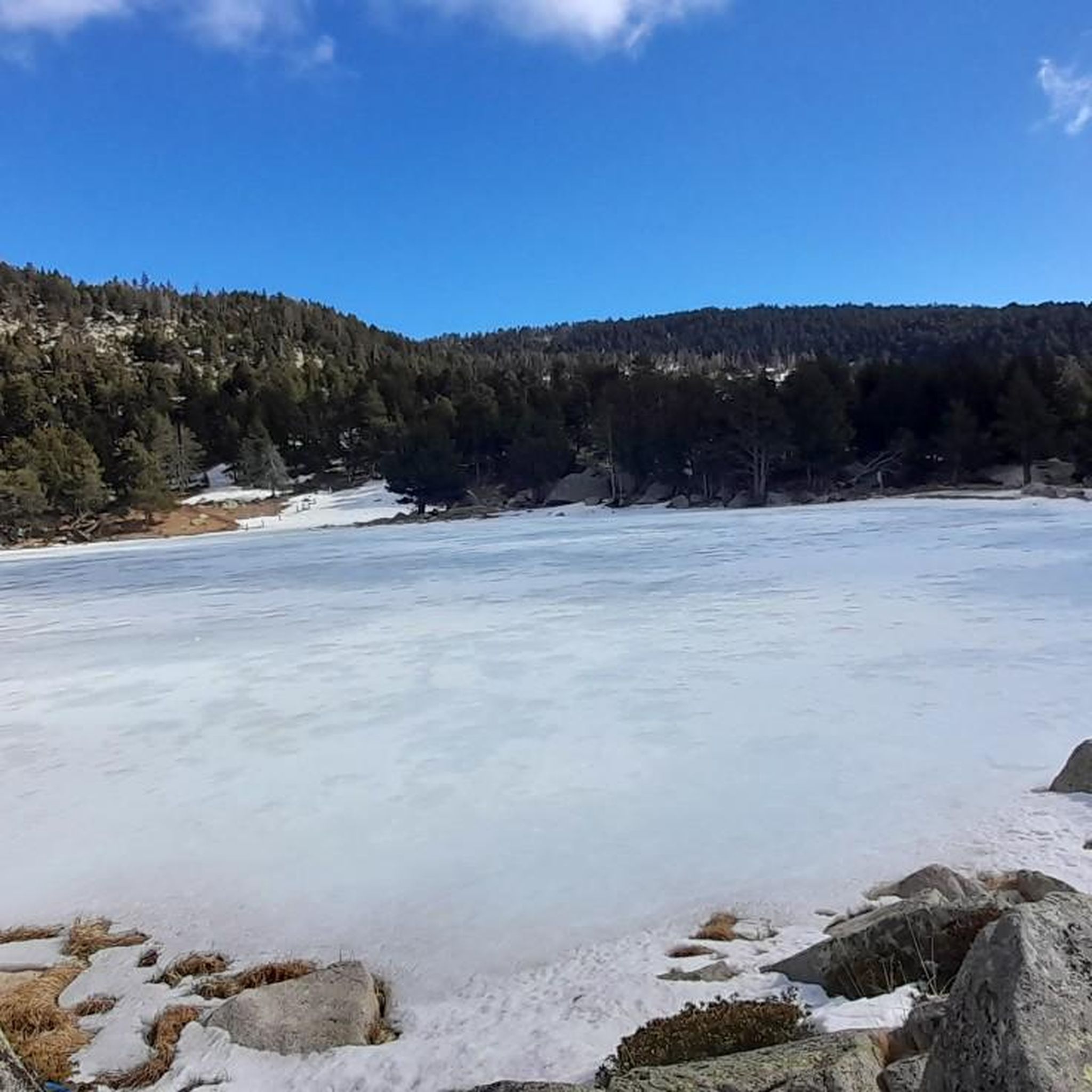
Legend has it that this lake is cursed, so if someone drinks its water it will hurt them. There are those who say that fish cannot live and according to others yes, but when they are fished and put them in the pan to fry them they come to life and flee.
0
0
Frequently Asked Questions
How many hiking trails are available in Meranges?
Meranges offers a wide variety of hiking experiences, with over 28 routes documented on komoot. These range from moderate forest paths to challenging high-mountain ascents, ensuring options for different ability levels.
What is the best time of year to go hiking in Meranges?
The best time for hiking in Meranges is typically from late spring through early autumn (May to October). During these months, the weather is generally favorable, and the high-altitude trails are free of snow, allowing access to glacial lakes and peaks like Puigpedrós. Winter offers opportunities for snowshoeing or ski touring, but requires specialized gear and experience.
Are there hiking options suitable for families or beginners in Meranges?
Yes, Meranges offers several moderate trails that are great for families or those new to hiking. Routes through the Pyrenean forests, such as parts of the Meranges forest or Carbassa forest, provide shaded paths. A good option for a more relaxed outing is the Malniu Mountain Hut – Lake Malniu loop from Refugi de Malniu, which is a shorter, moderate trail.
Are there any circular hiking routes in Meranges?
Yes, Meranges features several excellent circular routes. For a moderate experience through forests and past glacial lakes, consider the Meranges - Refugi de Malniu Loop. For a more challenging high-mountain adventure with stunning vistas, the Puigpedrós and Engorgs Cirque Loop from Malniu is a popular choice.
Can I hike with my dog in Meranges?
Meranges is generally dog-friendly, and many trails in the Pyrenees allow dogs. However, it's always recommended to keep dogs on a leash, especially in areas with livestock or protected wildlife. Be mindful of water sources and carry enough water for your pet, particularly on longer or higher-altitude routes.
What kind of natural attractions can I see along the hiking trails?
Meranges is rich in natural beauty. You can explore numerous glacial lakes, such as Estany Sec, Estany de Malniu, and Estany de Mal, which are featured on routes like The lakes of the Refugio de Malniu. The region is also home to the dramatic Engorgs Cirque and the impressive Puigpedrós peak, offering breathtaking panoramic views. You can find more details about specific lakes in the Lakes around Meranges guide.
Are there any notable landmarks or points of interest around Meranges?
Beyond the natural landscapes, the historic center of Meranges village itself maintains traditional Cerdan architecture. For specific landmarks, the Puigpedrós Summit (2,911 m) is a significant point of interest, offering incredible views. The Refugi de l'Illa is another notable mountain hut in the wider area.
Where can I find parking for hiking trails in Meranges?
Many popular trailheads, especially those leading to the Malniu area, have designated parking. The Refugi de Malniu, for instance, is a common starting point and accessible by car in spring, summer, and autumn, offering parking facilities. It's advisable to arrive early during peak season to secure a spot.
Are there cafes or places to eat near the hiking trails?
The village of Meranges itself offers amenities, and the Refugi de Malniu, a guarded mountain hut, provides food and accommodation and serves as a popular stop for hikers. It's always a good idea to check opening times, especially outside of peak season.
What do other hikers enjoy most about hiking in Meranges?
The area is highly rated by the komoot community, with an average score of 4.5 stars from over 120 reviews. Reviewers often praise the stunning high-mountain vistas, the beauty of the glacial lakes, and the diverse terrain that ranges from lush Pyrenean forests to challenging peaks.
Are there any challenging hikes for experienced trekkers?
Absolutely. Meranges is an excellent destination for experienced trekkers seeking challenging ascents. The Puigpedrós Summit (2,911 m) – Lake Malniu loop from Meranges is a hard hike designed for those looking to conquer the highest peak in the Catalan Cerdanya. The Puigpedrós and Engorgs Cirque Loop from Malniu also offers difficult terrain and high-mountain rewards.
Is public transport available to reach hiking trailheads in Meranges?
While Meranges is a high-altitude municipality, public transport options directly to specific trailheads can be limited. Access is primarily by car. Some local bus services might connect to nearby towns in La Cerdanya, but reaching the more remote starting points often requires private vehicle access or a taxi service from a larger hub.
Most popular routes around Meranges
Most popular attractions around Meranges

Get inspired with the komoot mobile app


Explore more
Browse the best Hikes in other regions.
