The best mountain hikes around Llanars
4.8
(4)
102
hikers
13
hikes
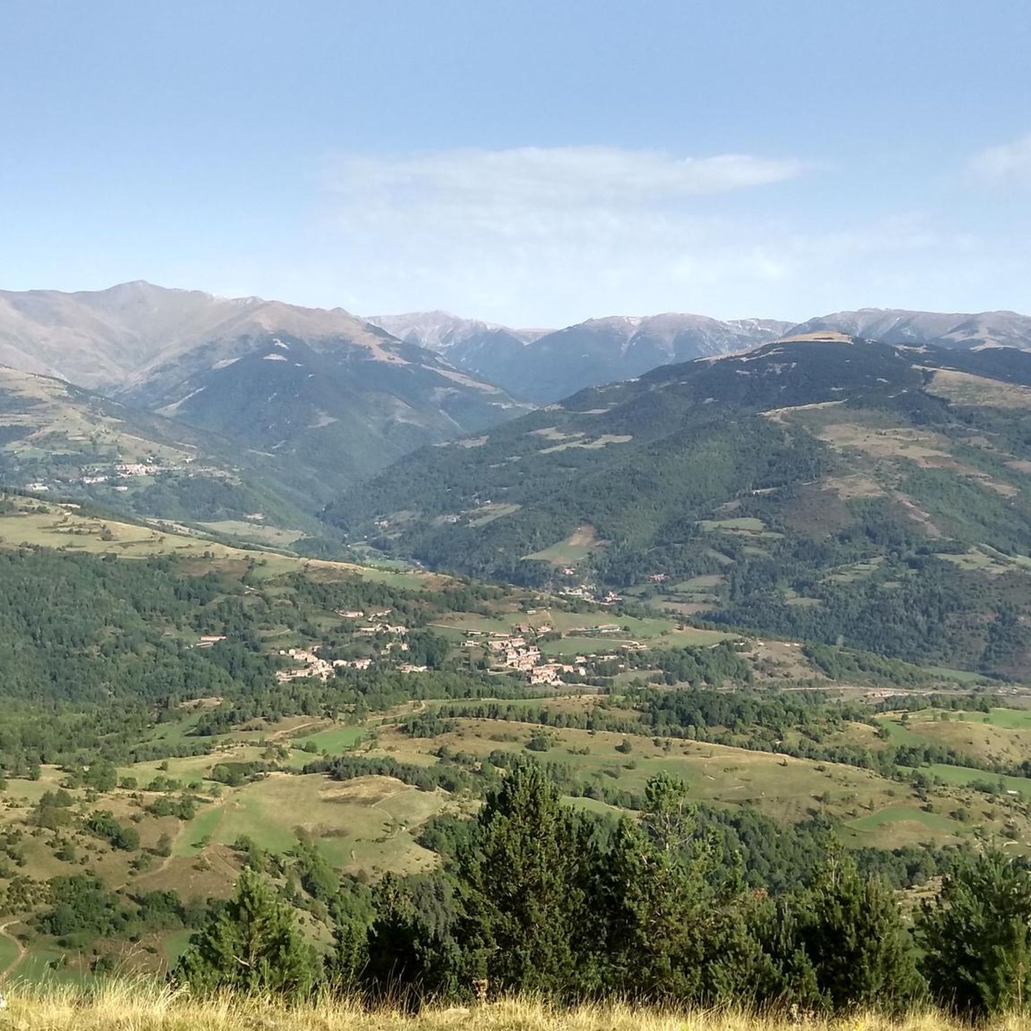
Mountaineering routes Llanars are situated in the Ripollès region of Girona, Spain, within the Camprodon valley, offering diverse mountainous terrain. The area is part of the Pre-Pyrenees, characterized by high-mountain landscapes and proximity to the Capçaleres del Ter i del Freser Natural Park. Prominent features include the Taga Summit (2,040 m), providing views of the Pyrenees, and the Ter and Ribera de Feitús rivers defining the rural environment. This setting provides varied terrain suitable for mountaineering.
Best mountaineering routes around…
Last updated: July 1, 2026
24
hikers
8.65km
04:52
840m
840m
Moderate mountaineering route. Good fitness required. Mostly accessible paths. Sure-footedness required.
5.0
(1)
13
hikers
14.2km
06:59
1,140m
1,140m
Hard mountaineering route. Very good fitness required. Sure-footedness, sturdy shoes and alpine experience required.

Sign up for free
5.0
(1)
12
hikers
Moderate mountaineering route. Good fitness required. Mostly accessible paths. Sure-footedness required.
7
hikers
18.2km
06:57
820m
820m
Hard mountaineering route. Very good fitness required. Mostly accessible paths. Sure-footedness required.
3
hikers
10.3km
04:16
700m
690m
Moderate mountaineering route. Good fitness required. Mostly accessible paths. Sure-footedness required.
Get access to more routes and recommendations from other explorers.
Sign up for free
Already have an account?
Our route recommendations are based on thousands of hikes, rides, and runs completed by other people on komoot.
Start today with a free account
Your next adventure awaits.
Login or Signup
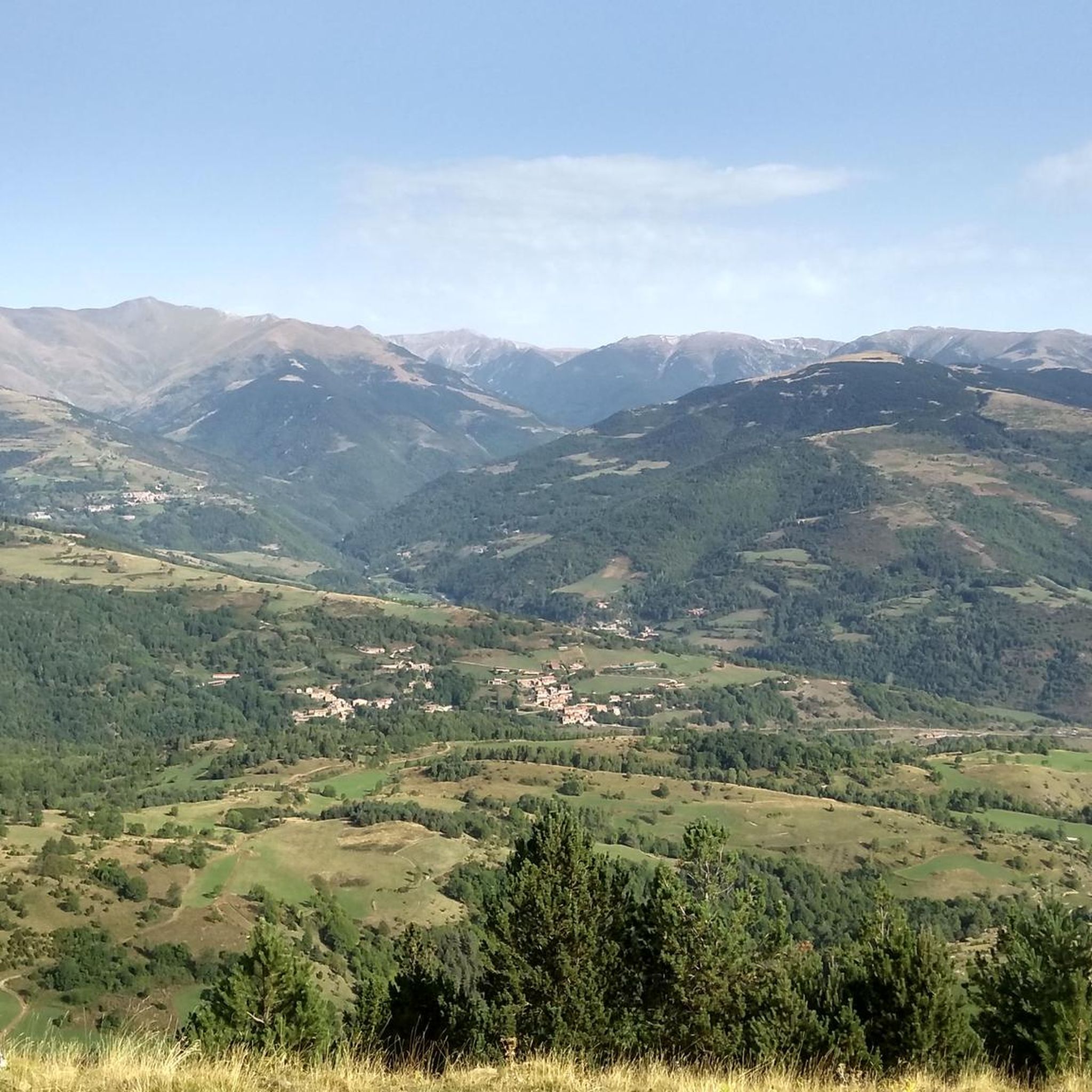
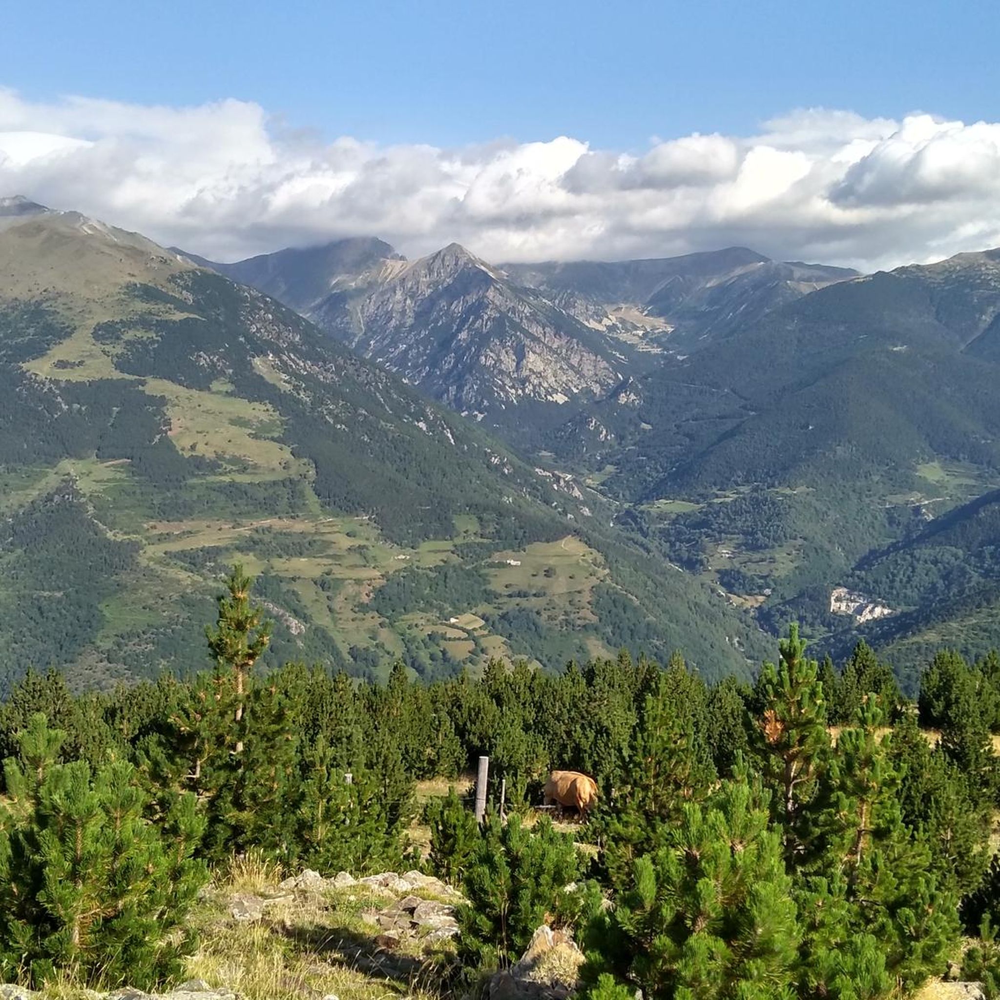
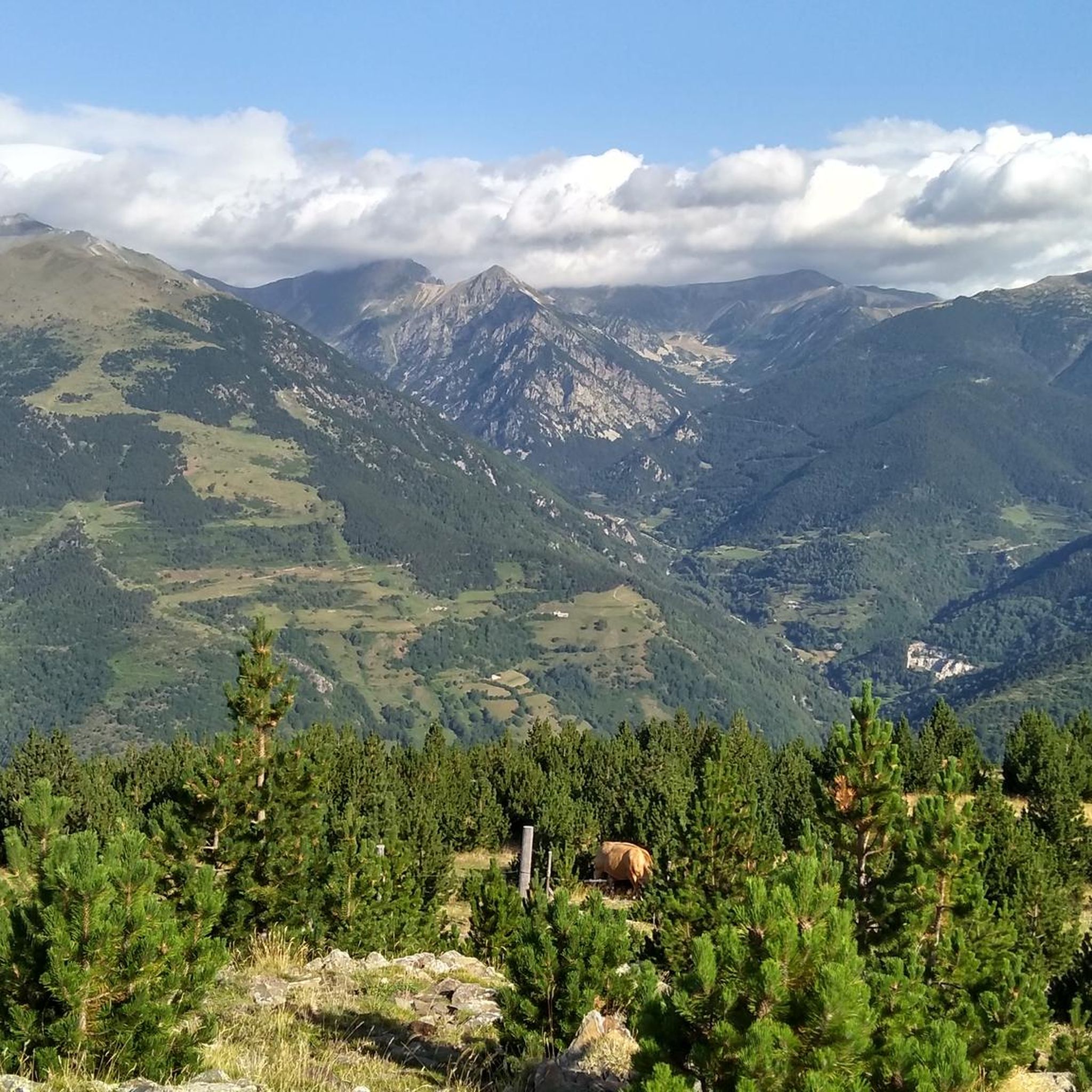
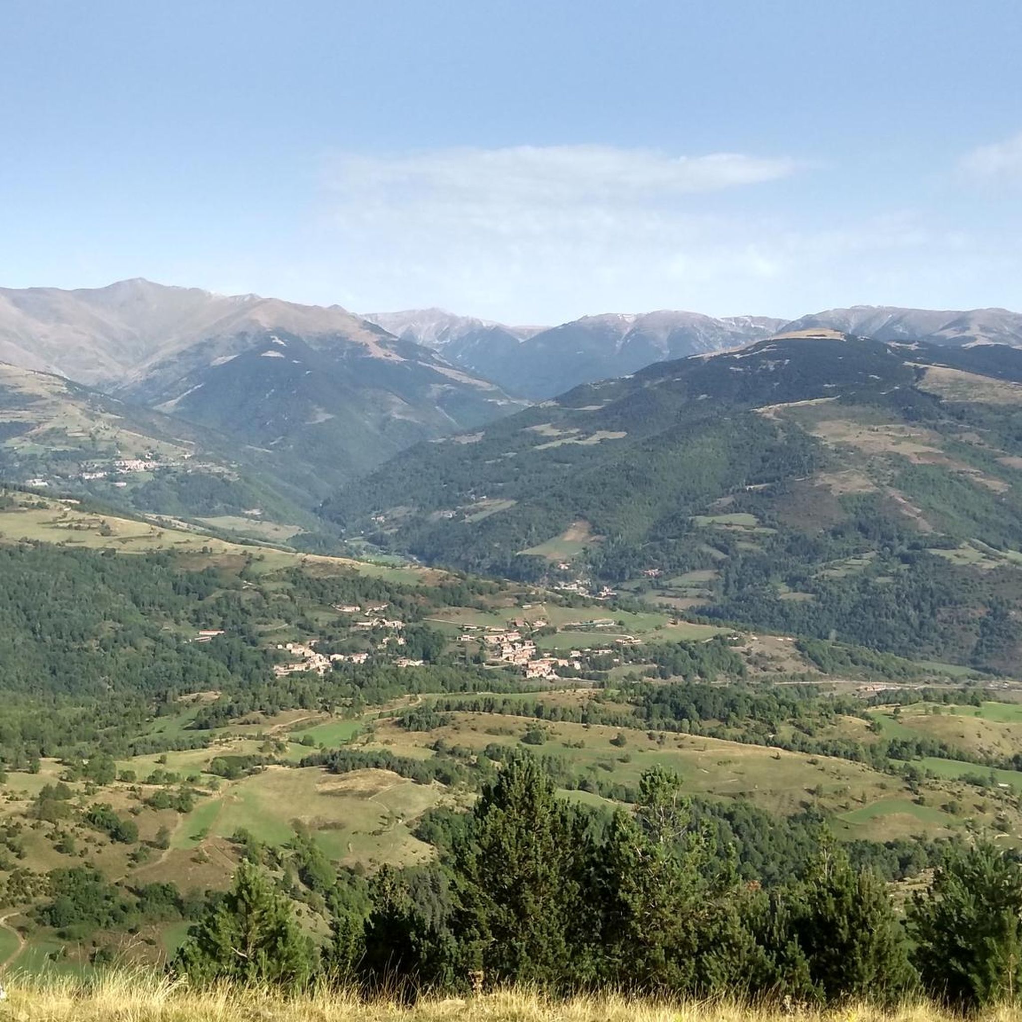

Tips from the Community

Walk without too much difficulty
0
0

At 2,881 m, it is the highest peak on the ridge, reaching Puigmal. It invites you to a longer ridge crossing.
2
0
East side of the summit ridge of the Bastiment with summit cross. A long ridge crossing is possible via this point.
2
0

Very busy peak. You can continue along the ridge in a westerly direction to the Pic de l'Infern
0
0

You get here with pains and work, I got off the bike a few meters earlier, there are parts with a very steep slope and just before the pass today I found snow. From the pass you have many routes, but none to be able to do on top of the bike. At the bottom of the valley, on the opposite side if you go up Fontlletera, you can see the refuge of Coma de Vaca, on the left the ascent to Balandrau and on the left in the background the peak of Bastiments and next to the path the house with antenna and the Gr cap in Vallter
1
0
If you leave the main track and pass the fence, you start a steep ascent up to the pass of the three peaks, from here to Balandrau, Nuria (cow coma refuge) or Vallter (on foot, not by bike)
1
0


The most characteristic peak of the area. In good weather, it is easily accessible from Vallter.
0
0
Frequently Asked Questions
What are the general difficulty levels for mountaineering routes around Llanars?
The mountaineering routes around Llanars offer a range of challenges. You'll find a good mix of both moderate and difficult trails. For instance, there are 7 moderate routes and 7 difficult routes available, catering to various experience levels.
Are there any routes suitable for experienced mountaineers seeking a challenge?
Yes, experienced mountaineers will find several challenging routes. For example, the Pic de Bastiments – Coll de la Marrana loop from Vallter 2000 is a difficult 7.3-mile (11.7 km) trail with significant elevation gain. Another demanding option is the Coll de la Marrana – Pic de Bastiments loop from Vallter 2000, which spans 8.8 miles (14.2 km) and offers panoramic Pyrenean vistas.
What natural features or landmarks can I expect to see along the mountaineering routes?
The Llanars area, situated in the Camprodon valley and near the Capçaleres del Ter i del Freser Natural Park, is rich in natural beauty. You can expect stunning mountain views, especially from prominent peaks like the Taga Summit (2,040 m). The rural landscape is also defined by the Ter and Ribera de Feitús rivers, offering picturesque riverside scenery.
Are there any specific viewpoints along the mountaineering trails?
Absolutely. The Taga Summit (2,040 m) is a significant landmark offering exceptional views of the Pyrenees peaks and the Freser and Ter valleys. Additionally, mountain passes like Coll d'Arès provide impressive vistas, particularly towards the French side.
What do other mountaineers enjoy most about the routes in Llanars?
The mountaineering routes in Llanars are highly rated by the komoot community, with an average score of 4.8 stars. Users often praise the high-mountain challenges, expansive views, and the varied terrain of the Pre-Pyrenees. The area is appreciated for its diverse options, from moderate ascents to more challenging high-altitude routes.
Are there any circular mountaineering routes available?
Yes, several routes are designed as loops, allowing you to start and end at the same point. Examples include the Pic de Bastiments – Coll de la Marrana loop from Vallter 2000 and the El Balandrau – Coll dels Tres Pics loop from Collet de la Gralla. These circular options are convenient for planning your day.
What is the best time of year for mountaineering in Llanars?
Llanars, located in the light-bathed Camprodon valley, is generally inviting for outdoor pursuits. While specific recommendations for mountaineering seasons aren't detailed, the region's high-mountain characteristics suggest that late spring, summer, and early autumn would offer the most favorable conditions, avoiding heavy snow and extreme winter weather.
Are there any historical sites or cultural attractions near the mountaineering routes?
Yes, you can combine your mountaineering with cultural exploration. The Romanesque church of Sant Esteve (12th century) in Llanars is a notable historical site. In the vicinity, the Pont Nou of Camprodon, a Gothic-style bridge from the 12th century, is another significant attraction that can be incorporated into your itinerary.
Where can I find parking for the mountaineering trailheads?
Many of the popular mountaineering routes, such as those leading to Pic de Bastiments or Gra de Fajol Summit, often start from areas like Vallter 2000. These locations typically offer designated parking facilities, making it convenient to access the trails.
Are there any other notable mountain peaks to explore besides Taga Summit?
Beyond the prominent Taga Summit (2,040 m), the region around Llanars offers several other impressive peaks for mountaineers. You can also challenge yourself with ascents to Costabona Summit (2,480 m), Roca Colom summit, or Balandrau Summit (2,585 m), each providing unique perspectives of the Pyrenees.
What is a good moderate mountaineering route for someone looking for a solid day hike?
For a moderate yet rewarding experience, consider the Coll de la Marrana – Gra de Fajol Summit loop from Vallter 2000. This 4.1-mile (6.6 km) route involves a good elevation gain and offers a taste of the region's beautiful mountain landscapes without being overly strenuous.
How many mountaineering routes are available in the Llanars area?
There are 14 mountaineering routes available around Llanars, offering a diverse selection for various skill levels and preferences. This includes a balanced mix of moderate and difficult trails.
Most popular routes around Llanars
Most popular attractions around Llanars

Get inspired with the komoot mobile app


Explore more
Browse the best Mountain Hikes & Routes in other regions.
