The best MTB trails around Villanueva De Ávila
3.9
(23)
383
riders
37
rides
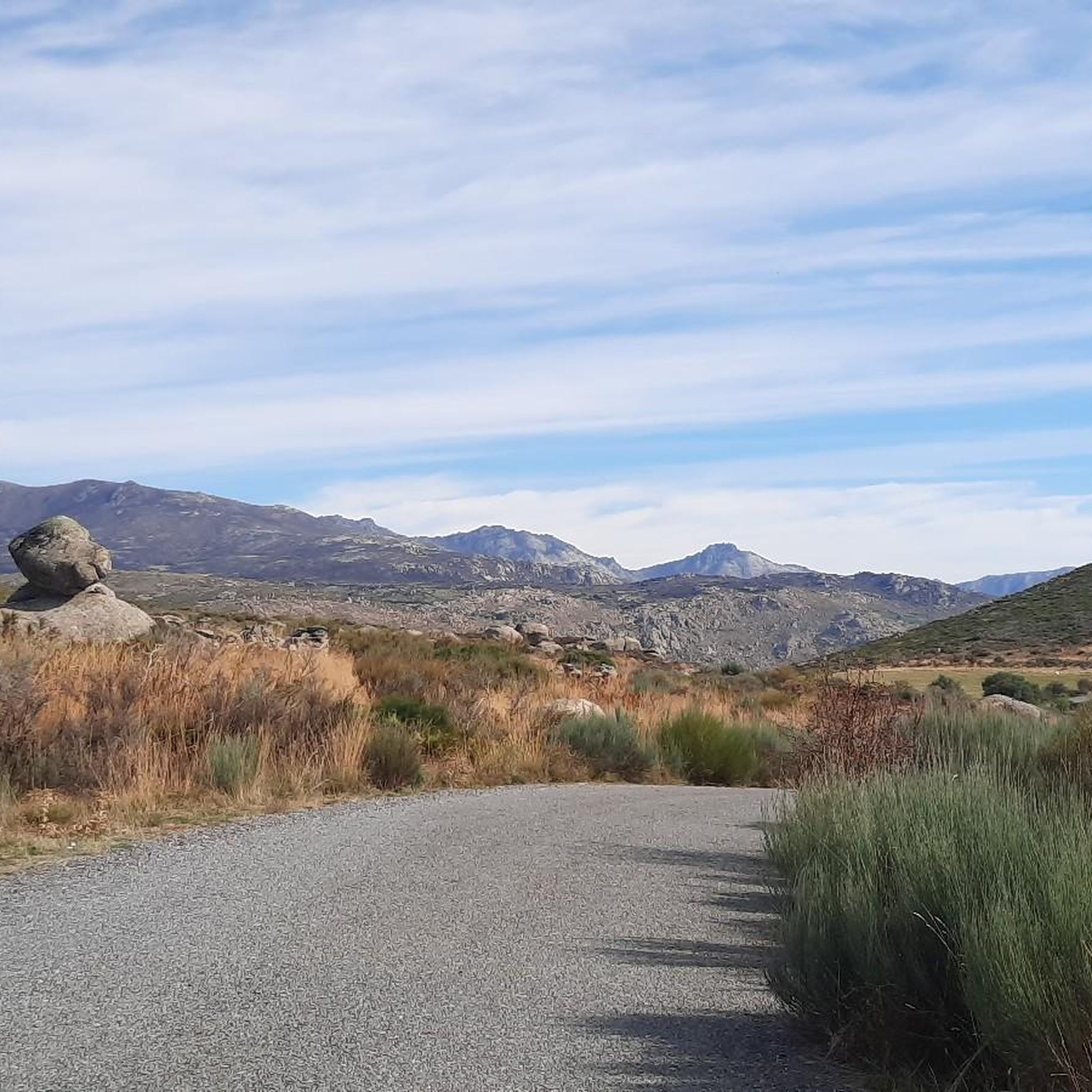
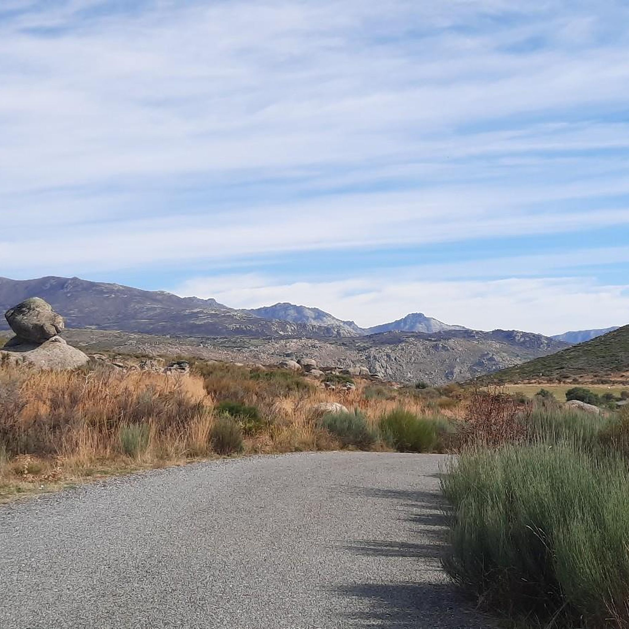
Mountain bike trails around Villanueva De Ávila are set within a mountainous enclave in the Sierra de Villafranca, part of the Sierra de Gredos Regional Park. This region features high peaks, granite slopes, and dense forests of chestnut, pine, and oak, providing varied terrain for mountain biking. Diverse waterways, including placid rivers, streams, gorges, and crystalline reservoirs, also characterize the landscape. The area's natural environment includes fertile valleys and ancient trails that connect villages.
Best mountain bike trails around Villanueva…
Last updated: November 1, 2026
59
riders
39.3km
03:17
550m
550m
Moderate mountain bike ride. Good fitness required. Advanced riding skills necessary.
5.0
(2)
15
riders
Moderate mountain bike ride. Good fitness required.

4.0
(4)
15
riders
Moderate mountain bike ride. Good fitness required.
4.0
(1)
19
riders
Moderate mountain bike ride. Good fitness required.
8
riders
Moderate mountain bike ride. Good fitness required.
Get access to more routes and recommendations from other explorers.
Already have an account?
Our route recommendations are based on thousands of hikes, rides, and runs completed by other people on komoot.
Start today with a free account
Your next adventure awaits.



Tips from the Community

A good place to rest in the middle of Gredos. There's a fountain.
1
0

A path in perfect condition that connects Navaluenga and El Barraco. It is also very well signposted with beacons and signs for mountain biking.
0
0
Beautiful path that runs parallel to the Alberche River towards Navaluenga.
0
0
A rather damaged path that avoids the road, sometimes it becomes a nice blurred trail, and has some very broken sections, with unevenness and full of roots. If you do it towards the road it is easy with a couple of more complicated points.
0
0
At this point we came across a couple of broken slides that were impossible to climb.
0
0
Very good views of the Burguillo Reservoir. The path is sometimes quite rutted.
0
0
Beautiful stone bridge over the Alberche River as it passes through Navaluenga.
0
0

The Alberche River is one of the tributaries of the Tagus, and runs through the communities of Castilla y León, Madrid, and Castilla - La Mancha. It is born on the southern slope of the Villafranca mountain range, in the Central system. It is a river with a shallow flow, like all the rivers that originate from the southern slope of the Central system. It serves as a border between the Gredos and Guadarrama mountain ranges.
1
0
Frequently Asked Questions
How many mountain bike trails are available around Villanueva de Ávila?
There are over 30 mountain bike trails around Villanueva de Ávila, offering a variety of experiences. These routes are set within the Sierra de Villafranca and the Sierra de Gredos Regional Park, providing diverse terrain from high peaks to dense forests.
Are there any easy mountain bike trails suitable for beginners in Villanueva de Ávila?
While there are no trails specifically classified as 'easy' in our current selection, there are 16 'moderate' difficulty routes. These moderate trails offer a good balance for riders with some experience, allowing them to enjoy the region's varied terrain without extreme technical challenges.
What kind of terrain can I expect on the mountain bike trails in Villanueva de Ávila?
The terrain around Villanueva de Ávila is highly varied, ranging from high peaks and granite slopes to dense forests of chestnut, pine, and oak. You'll encounter ancient trails that once connected villages, offering natural berms, narrow curves, and sometimes steep sections, alongside flowy descents. The region also features placid rivers, streams, and gorges.
What are some notable natural attractions or landmarks I can see along the mountain bike trails?
The trails often pass through or near significant natural and historical landmarks. You might encounter the impressive Puerto de Mijares, the historic Puente Viejo de Navaluenga, or the serene Presa del Horcajo. For natural beauty, look out for the El Chorro Waterfall or the dramatic Valley of the Garganta del Niño Cojo.
Are there any mountain bike trails with good viewpoints?
Many trails in the region offer excellent viewpoints, given the mountainous terrain of the Sierra de Gredos Regional Park. For example, the route Views of Gavilanes – Views of Pedro Bernardo loop from Gavilanes is specifically highlighted for its significant elevation gain and panoramic vistas of the surrounding mountains.
What do other mountain bikers enjoy most about the trails in Villanueva de Ávila?
The mountain bike trails around Villanueva de Ávila are highly rated by the komoot community, with an average score of 4.1 stars. Riders often praise the varied terrain, the challenging climbs, and the rewarding panoramic views, especially across areas like the Navaluenga Valley.
Are there any circular mountain bike routes available?
Yes, many of the mountain bike routes around Villanueva de Ávila are designed as loops, allowing you to start and finish at the same point. Examples include the Puente Viejo de Navaluenga – Navaluenga Valley loop from Parking del mirador estelar de Navaluenga and the Puente Viejo de Navaluenga loop from Parking del mirador estelar de Navaluenga.
What is the best time of year to go mountain biking in Villanueva de Ávila?
The region's climate makes spring and autumn ideal for mountain biking, offering pleasant temperatures and vibrant natural scenery. Summer can be hot, especially at lower elevations, so early mornings or late afternoons are preferable. Winter riding is possible, but higher elevations may experience colder temperatures and occasional snow.
Are there any specific permits required for mountain biking in the Ávila province?
Generally, no specific permits are required for mountain biking on the established trails in the Ávila province, including those within the Sierra de Gredos Regional Park. However, it's always advisable to respect local regulations, stay on marked paths, and be mindful of protected areas.
Are there any cafes or places to eat near the mountain bike trails?
Villanueva de Ávila and nearby towns like Navaluenga and Burgohondo offer various amenities, including cafes, restaurants, and accommodation options where you can refuel after your ride. These settlements are often starting or ending points for many routes, making them convenient for refreshments.
Can I access the mountain bike trails using public transport?
While some larger towns in the Ávila province have public transport links, direct access to all trailheads by public transport might be limited. It's recommended to check local bus schedules to nearby villages like Navaluenga or Burgohondo, which serve as common starting points for many routes. Parking facilities are generally available in these areas if you're traveling by car.
Are there any particularly challenging mountain bike routes for advanced riders?
Yes, the region offers several difficult routes for experienced mountain bikers. The Views of Gavilanes – Views of Pedro Bernardo loop from Gavilanes, for instance, is a challenging 29.9-mile path with significant elevation gain, providing a demanding experience for advanced riders.
Most popular routes around Villanueva De Ávila
Most popular attractions around Villanueva De Ávila

Get inspired with the komoot mobile app


Explore more
Browse the best MTB trails in other regions.
