The best walks and hikes around Minglanilla
4.3
(66)
311
hikers
22
hikes
Hiking around Minglanilla offers diverse landscapes, from lush forests to rolling hills and steep, rocky terrain. The region is characterized by its varied natural features, including the historic Man-Made Forest and several waterfalls. Trails often involve ascents and river crossings, providing a range of experiences for outdoor enthusiasts. The area's biodiversity, with numerous species of flora and fauna, enhances the natural appreciation aspect of hiking.
Best hiking trails around Minglanilla
- The most popular hiking route is Cuchillos de Contreras Trail…
Last updated: July 7, 2026
4.8
(25)
83
hikers
5.99km
01:47
190m
190m
Easy hike. Great for any fitness level. Easily-accessible paths. Suitable for all skill levels.
4.2
(5)
48
hikers
6.38km
01:42
60m
60m
Easy hike. Great for any fitness level. Easily-accessible paths. Suitable for all skill levels.

Sign up for free
5.0
(1)
2
hikers
17.9km
04:56
310m
310m
Moderate hike. Good fitness required. Easily-accessible paths. Suitable for all skill levels.
4.4
(5)
54
hikers
Moderate hike. Good fitness required. Easily-accessible paths. Suitable for all skill levels.
4
hikers
29.1km
08:35
870m
870m
Hard hike. Very good fitness required. Easily-accessible paths. Suitable for all skill levels.
Get access to more routes and recommendations from other explorers.
Sign up for free
Already have an account?
Our route recommendations are based on thousands of hikes, rides, and runs completed by other people on komoot.
Start today with a free account
Your next adventure awaits.
Login or Signup
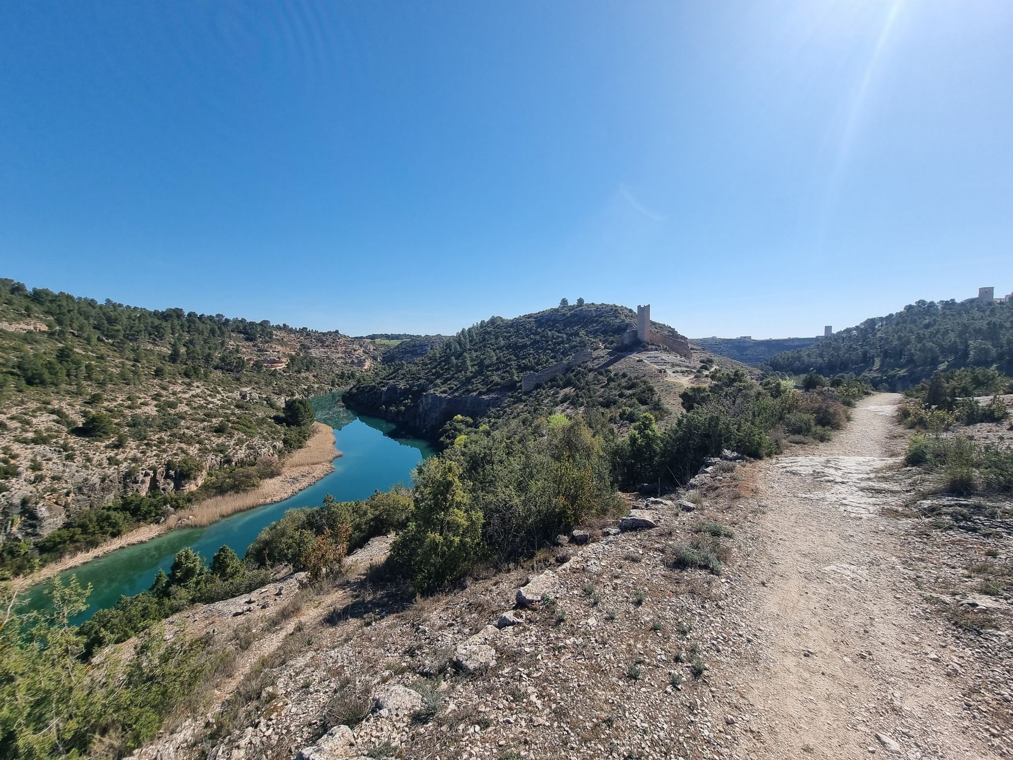
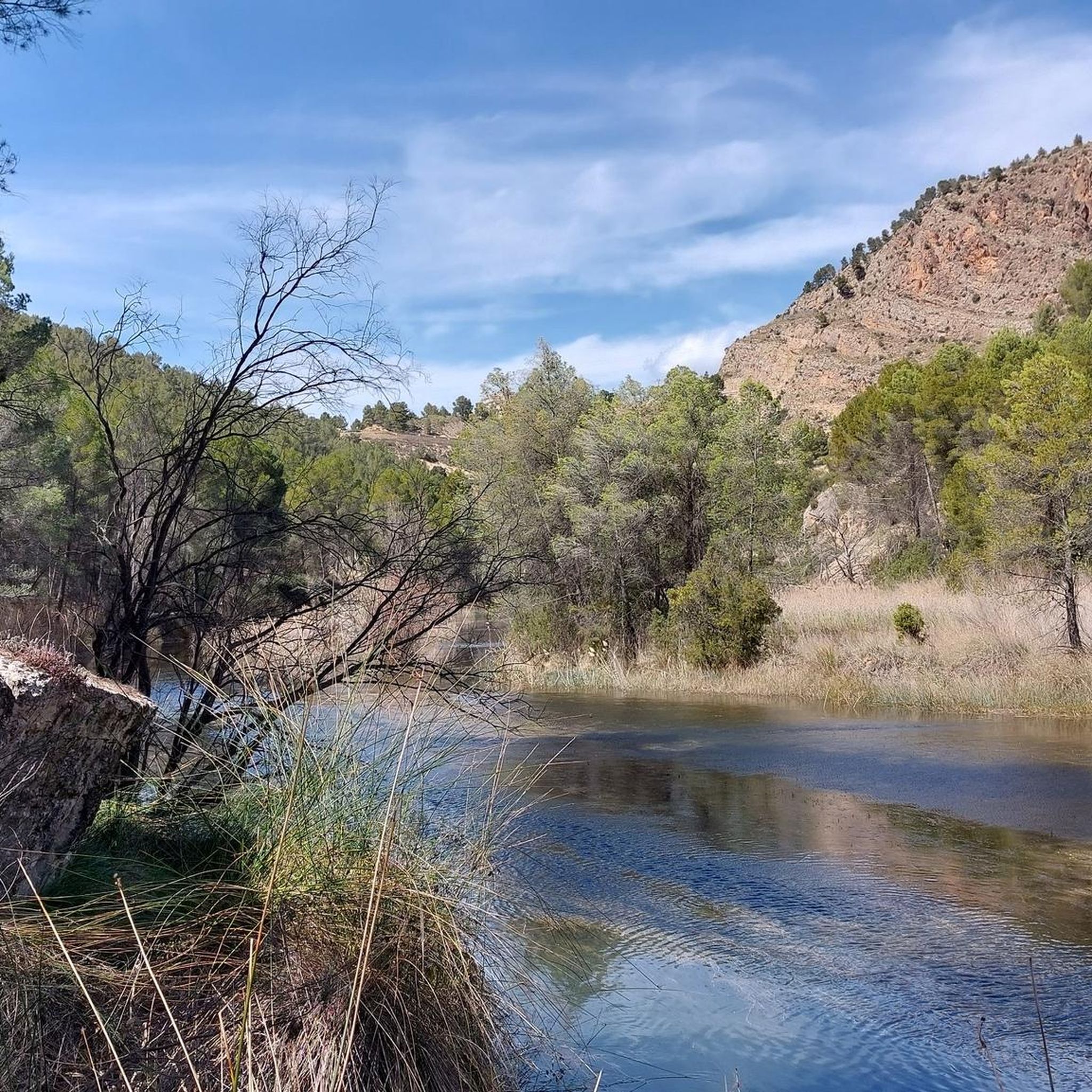
Other adventures around Minglanilla

Tips from the Community

The path leads across private land. Passage is not possible.
0
0
The path leads across private property. Passage is not possible.
0
0

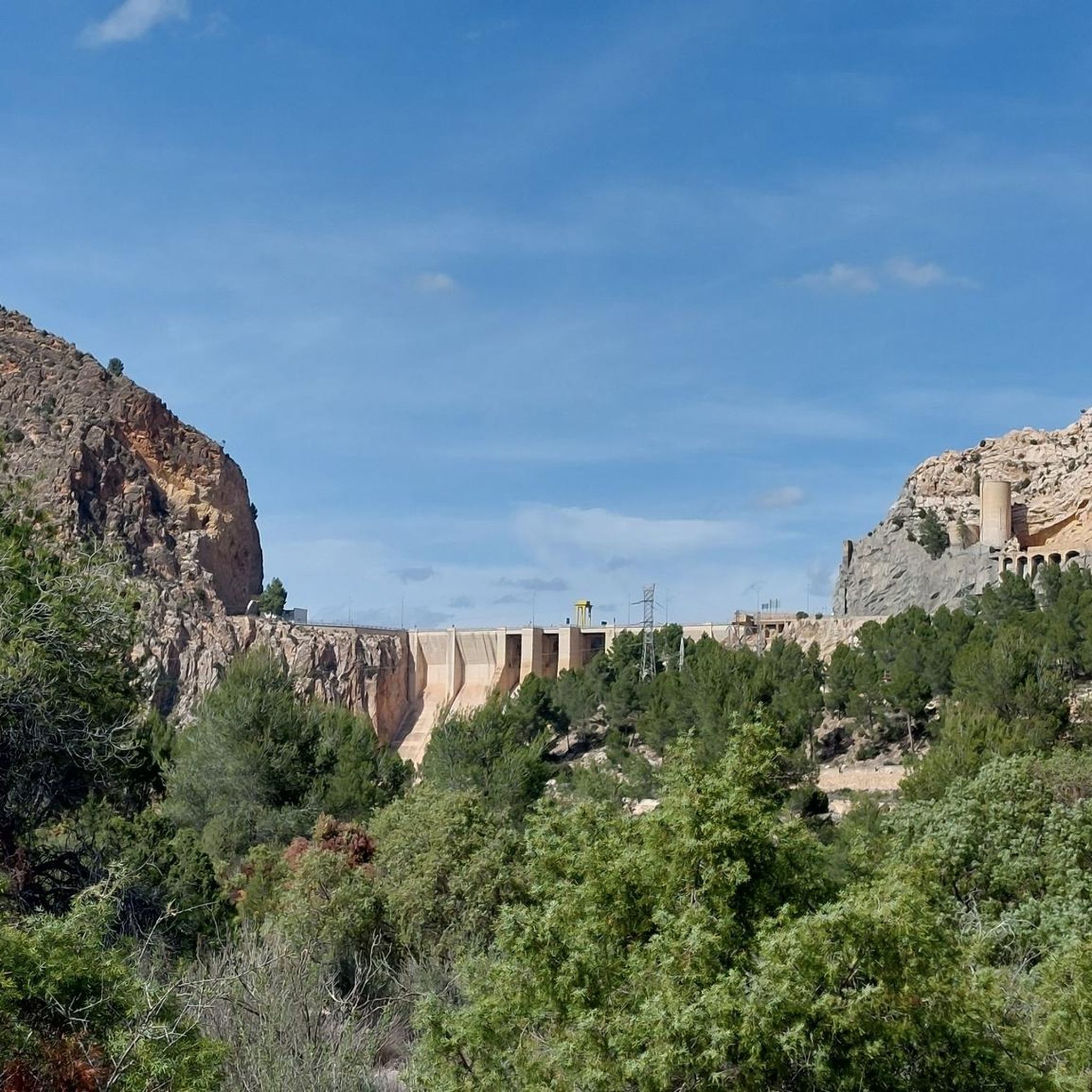
The Contreras dam (Embalse de Contreras) is a 129-meter-high arch dam built in 1972. Located on the border of the provinces of Cuenca (Castilla-La Mancha) and Valencia, the dam spans the Cabriel and Guadazaón rivers. The reservoir serves mainly for water supply, flood protection, and irrigation.
11
1

Hiking: Popular routes, such as the "Engineer's House" trail, offer viewpoints overlooking the reservoir and the Cabriel River gorges. Guided tours: Occasionally, the Hydrographic Confederation and the Villargordo Town Council organize tours and talks in the village of Contreras. Historic roads: The abandoned section of the old N-III highway and the Contreras Hills attract engineering enthusiasts, with their original 20th-century asphalt and signage.
9
0
Contreras Dam (Contreras Reservoir), located on the border between Cuenca and Valencia provinces. It lies between Villargordo del Cabriel (Valencia) and the Cuenca municipalities of La Pesquera, Mira, Enguídanos, and Minglanilla, spanning the Cabriel and Guadazaón rivers. Below the dam is the historic Contreras Bridge, built between 1845 and 1851 by Lucio del Valle, part of the old zigzag mountain pass.
10
0

It was built in 1972 at the confluence of the Cabriel and Guadazaón rivers. The dam height is 129 metres. Its purpose is, among other things, to supply water to the city of Valencia. The Contreras Bridge was built between 1845 and 1851 by the engineer Lucio del Valle. To descend the ravine, he had to build a zigzag road that formed the port of Contreras.
2
1

If you go around the Fuente de Oliva counterclockwise (which I recommend), this is the second viewpoint and the first where you can see the Rio Cabriel in the gorges below beautiful cliffs. Continue to the right of the first bench along the cliff, and you will find a second bench and more beautiful views.
1
0
I recommend doing the Fuente de Oliva tour counterclockwise, so the views become more and more beautiful. Here this viewpoint is the first in the series, we see the Rio de Cabriel on the right and the beautiful rocks in the distance on the right. We begin to guess the gorges on the left.
2
0
Frequently Asked Questions
How many hiking trails are available in Minglanilla?
Minglanilla offers a diverse network of over 20 hiking trails, catering to various skill levels. You'll find everything from easy walks to more challenging ascents through varied landscapes.
Are there easy hiking trails suitable for beginners in Minglanilla?
Yes, Minglanilla has several easy trails perfect for beginners. For instance, the Cuchillos de Contreras Trail is an easy 3.7-mile path known for its distinctive ridgeline formations. Another great option is the Los Cuchillos del Cabriel Trail, an easy 4.0-mile route with gentle elevation changes.
What kind of landscapes can I expect to see while hiking in Minglanilla?
Hiking in Minglanilla offers a rich tapestry of landscapes. You'll traverse lush forests, rolling hills, and sometimes steep, rocky terrain. The region is also characterized by unique features like the historic Man-Made Forest and refreshing waterfalls, with many trails involving river crossings.
Are there any waterfalls to visit on hikes in Minglanilla?
Yes, Minglanilla is home to several refreshing waterfalls. Matun-og Falls is a multi-tiered cascade with clear waters, often visited alongside Kabugbugan Falls. Hinagdanan Falls, located in Brgy. Manduang, also offers a pleasant view and a refreshing stop during your hike.
Can I find circular hiking routes in Minglanilla?
Yes, circular routes are available. For example, the Peñas Blancas Path Trench – Peñas Blancas Viewpoint loop offers a scenic 3-mile circular hike. Another option is the challenging Cuchillares de Contreras – La Fonseca Viewpoint loop, which is a longer 13.2-mile route.
What are some notable natural attractions or viewpoints along the trails?
Minglanilla's trails lead to several impressive natural attractions and viewpoints. You can discover the unique ridgeline formations of the Cuchillas de Contreras Trail. For panoramic views, consider visiting the Hoz del Rabo de la Sartén Viewpoint, La Fonseca Viewpoint, or the Peña Azul Viewpoint.
Is Minglanilla a good destination for family-friendly hikes?
Minglanilla offers options for families, particularly within the Man-Made Forest (Osmeña Reforestation Project). It features a dedicated 240-meter kiddie trail and a 1.3-kilometer EcoDiscovery and Heritage Trail, providing an engaging and educational experience for all ages amidst picturesque trees.
What is the best time of year to go hiking in Minglanilla?
While specific seasonal recommendations are not provided, Minglanilla's diverse landscapes and natural features are generally enjoyable year-round. However, for the most comfortable hiking experience, consider visiting during cooler, drier periods to avoid intense heat or heavy rains, which can make river crossings more challenging.
What makes the Man-Made Forest a unique hiking destination in Minglanilla?
The Man-Made Forest, part of the Osmeña Reforestation Project, is a truly unique destination. Established in 1916, it's considered the oldest man-made forest in the Philippines, covering 2,710 hectares. It offers challenging climbs, nature walks, and bird watching amidst its solemn trees, serving as a beacon of environmental conservation and home to diverse wildlife.
What do other hikers say about the trails in Minglanilla?
The trails in Minglanilla are highly regarded by the komoot community, boasting an average rating of 4.5 stars from over 50 reviews. Hikers often praise the diverse terrain, from rolling hills to unique ridgeline formations, and the opportunity to explore natural wonders like the Man-Made Forest and various waterfalls.
Are there any challenging hikes for experienced trekkers in Minglanilla?
Yes, experienced trekkers will find challenging options in Minglanilla. Routes like the Manduang Ridgeline Climb are known for their steep ascents. The Cuchillares de Contreras – La Fonseca Viewpoint loop is also classified as a difficult 13.2-mile hike, featuring significant elevation changes.
What kind of wildlife or biodiversity can I observe while hiking?
The mountainsides of Minglanilla and Manipis are rich in biodiversity. Hikers can observe 75 species of flora, including 36 tree species, and 30 species of birds, amphibians, mammals, and reptiles. Additionally, there are 32 species of insects and spiders, making for an engaging nature appreciation experience.
Are there any caves to explore in Minglanilla?
Yes, Minglanilla is known for its seven caves, adding an element of spelunking adventure to the outdoor activities. The 'White Cave' is particularly notable as the largest and a highlight of local eco-tours, offering a unique underground exploration opportunity.
Most popular attractions around Minglanilla

Get inspired with the komoot mobile app


Explore more
Browse the best Hikes in other regions.
