The best running trails around Hormilleja
143
runners
17
runs
Jogging routes around Hormilleja offer a variety of landscapes, primarily characterized by riverine paths and agricultural areas. The region features routes along riverbanks, providing relatively flat terrain suitable for running. Some routes extend into the surrounding countryside, incorporating gentle ascents and descents through vineyards and fields. The elevation changes range from minimal, near the river, to more significant in routes exploring the wider area, with some trails reaching over 600 meters of cumulative elevation gain.
Best jogging routes around Hormilleja
…Last updated: July 4, 2026
9
runners
6.34km
00:39
30m
30m
Moderate run. Good fitness required. Mostly paved surfaces. Suitable for all skill levels.
9
runners
11.1km
01:25
300m
300m
Hard run. Very good fitness required. Mostly paved surfaces. Suitable for all skill levels.

Sign up for free
8
runners
7.83km
00:51
40m
40m
Moderate run. Good fitness required. Mostly paved surfaces. Suitable for all skill levels.
4
runners
12.7km
01:26
110m
110m
Moderate run. Good fitness required. Mostly paved surfaces. Suitable for all skill levels.
7
runners
44.0km
04:51
640m
640m
Hard run. Very good fitness required. Mostly paved surfaces. Suitable for all skill levels.
Get access to more routes and recommendations from other explorers.
Sign up for free
Already have an account?
Our route recommendations are based on thousands of hikes, rides, and runs completed by other people on komoot.
Start today with a free account
Your next adventure awaits.
Login or Signup
Tips from the Community


The Torreón de Sor María de Leiva is one of the historical attractions of Santo Domingo de la Calzada. It is part of the walled enclosure of Santo Domingo de la Calzada. Built between the 14th and 16th centuries, the tower is an example of the defensive architecture of the period. The tower and its surroundings offer excellent opportunities for photography, especially at sunset.
1
0

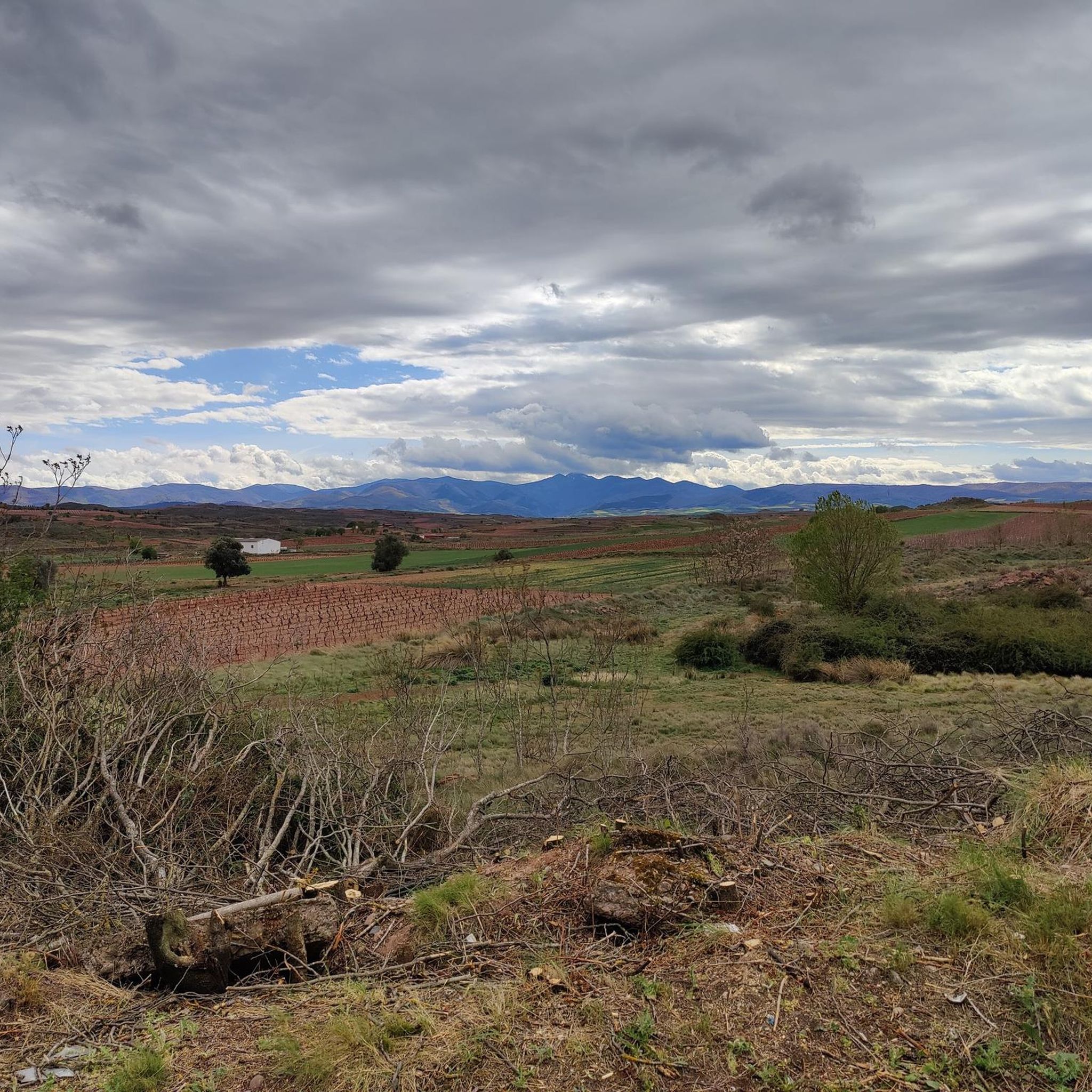
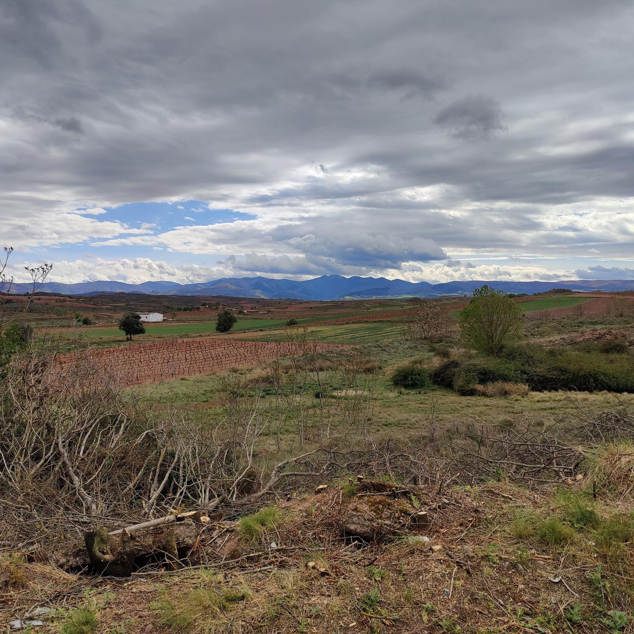
A great view of this impressive landscape.
1
0

Great view of Santa Domingo de la Calzada below you as you cross the ridgeline
0
0

Even though it looks close enough to touch, from here on it feels like it takes forever to walk.
0
0
As you walk over the summit of the road, you get the first view of the town below you. A welcome sight after the long dusty field road.
0
0

The rolls are stone columns, usually topped with a cross, which served as the insignia of a town's jurisdiction. They also served as a pillory, that is, it was the place where the severed heads of the executed were placed. The roll of Azofra was granted by Carlos V, so that the inhabitants of Azofra had to be judged in Azofra itself.
2
0

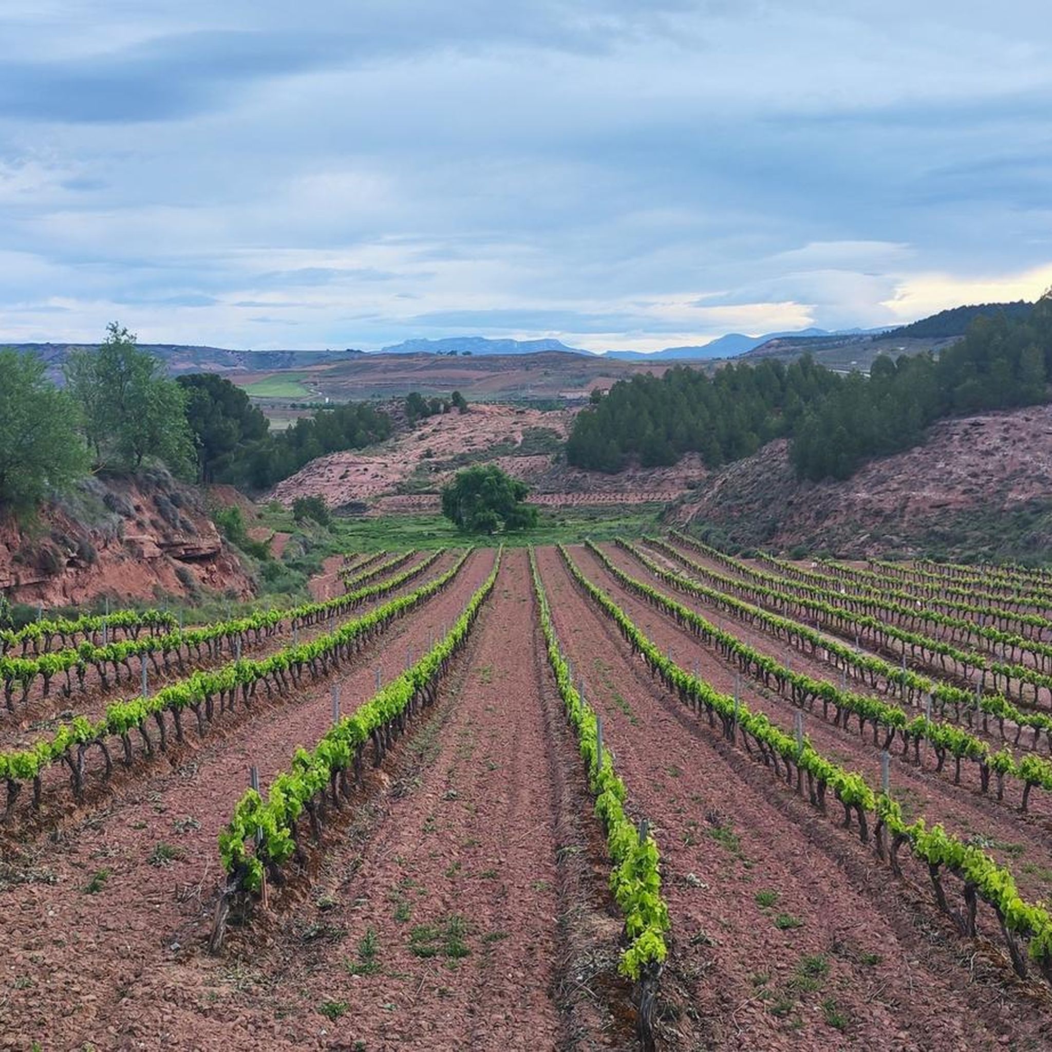
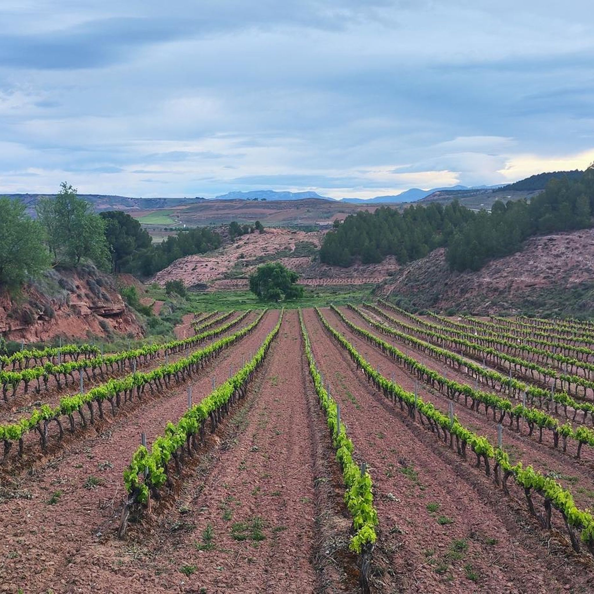
In this section of the Camino de Santiago Francés, near the municipality of Cirueña, it has magical views of the popular vineyards of La Rioja, as well as the small mountains that surround this beautiful land.
5
0
Frequently Asked Questions
What types of terrain can I expect on running trails around Hormilleja?
The running routes around Hormilleja are primarily characterized by riverine paths and agricultural areas. You'll find relatively flat terrain along riverbanks, as well as routes extending into the surrounding countryside with gentle ascents and descents through vineyards and fields.
What are the typical distances and durations for running routes in this region?
Running routes in the Hormilleja area vary significantly. For example, the Park on the riverbank (Nájera) loop from Nájera is about 3.9 miles (6.3 km) and takes around 40 minutes. Longer, more challenging routes like Nájera – Pilgrims' Rest Area loop from Alesanco can be over 27 miles (44 km) and take several hours.
What are the difficulty levels of running routes around Hormilleja?
The area offers a range of difficulties. There are 10 moderate routes, often found along riverbanks with minimal elevation changes. Additionally, there are 6 difficult routes that include more significant climbs, with some trails reaching over 600 meters of cumulative elevation gain.
Are there any circular running routes available near Hormilleja?
Yes, many routes are designed as loops. For instance, the popular Park on the riverbank (Nájera) loop from Nájera offers a convenient circular path. Another option is the Running loop from Alesanco, which provides a moderate circular experience.
What can I see along the running routes in the Hormilleja area?
Many routes offer scenic views of riverbanks, agricultural landscapes, and vineyards. You might also encounter historical landmarks. For example, the Park on the riverbank (Nájera) – Nájera Old Town loop from Nájera takes you through the historic Nájera Old Town. Nearby attractions include the San Vicente de la Sonsierra Fortress Castle and the Poyo de Roldán Stone Hut.
Are there any family-friendly running options around Hormilleja?
While there are no routes specifically marked as 'easy' in the guide, many of the moderate riverbank paths, such as the Park on the riverbank (Nájera) loop from Nájera, are relatively flat and accessible, making them suitable for families looking for a less strenuous run.
What do other runners enjoy most about jogging in Hormilleja?
The komoot community frequently praises the varied terrain, from flat riverside paths to more challenging trails through vineyards. The combination of natural beauty and opportunities to explore historic towns like Nájera is often highlighted by the 131 visitors who have used komoot to explore the area.
Are there running routes that pass through or near towns with amenities like cafes?
Yes, several routes start from or pass through towns. For instance, the Park on the riverbank (Nájera) – Nájera Old Town loop from Nájera goes through Nájera, where you can find various amenities. Routes starting from Alesanco also offer access to local facilities.
What is the best time of year for running in Hormilleja?
The region's agricultural and riverine landscape makes it enjoyable for running across multiple seasons. Spring and autumn offer pleasant temperatures and vibrant scenery, while summer mornings or evenings can be ideal. Winter running is also possible, though conditions may vary.
How many running routes are available in the Hormilleja area?
There are 16 distinct running routes documented around Hormilleja, offering a diverse range of experiences for runners of all levels.
Are there any routes that offer significant elevation challenges for experienced runners?
Absolutely. For those seeking a challenge, routes like Park on the riverbank (Nájera) – Nájera loop from Nájera feature over 300 meters of elevation gain. The Nájera – Pilgrims' Rest Area loop from Alesanco is even more demanding, with over 600 meters of climbing.
Most popular routes around Hormilleja
Most popular attractions around Hormilleja

Get inspired with the komoot mobile app


Explore more
Browse the best Running Trails & Routes in other regions.
