The best walks and hikes around Quemada
4.6
(13)
92
hikers
36
hikes
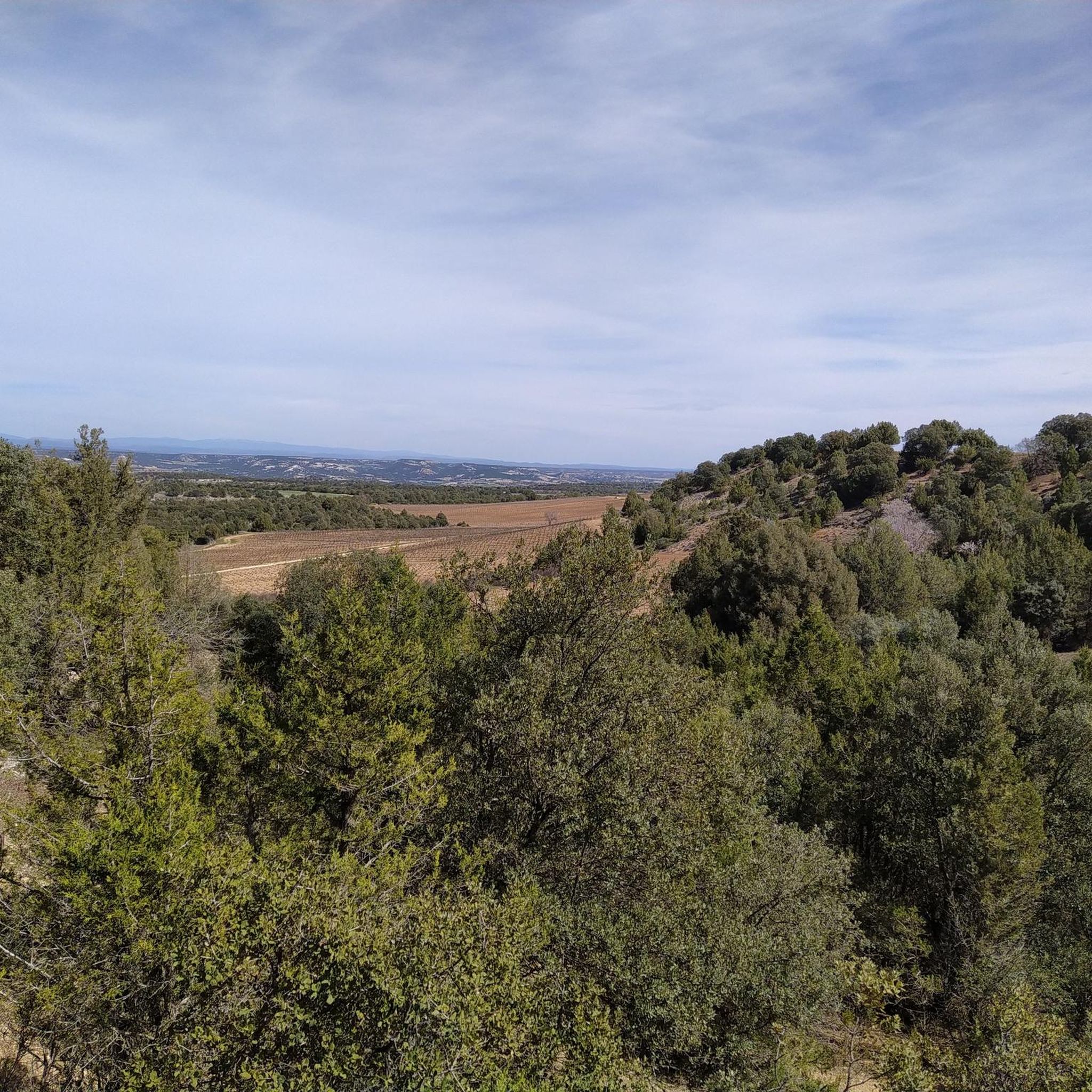
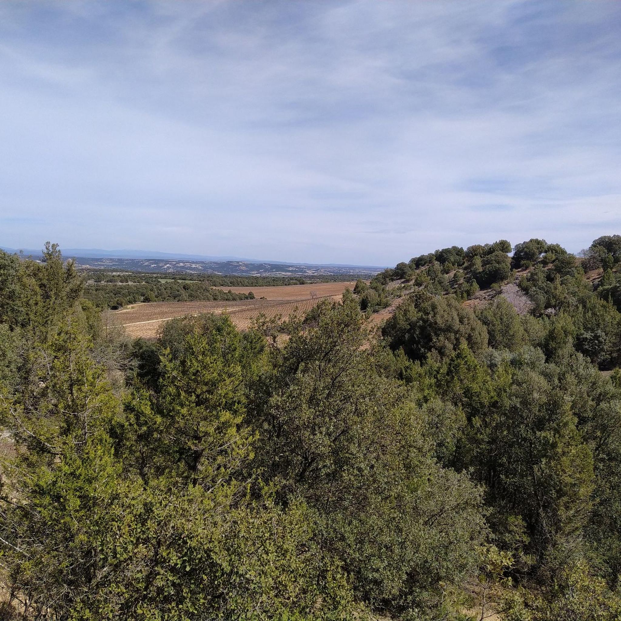
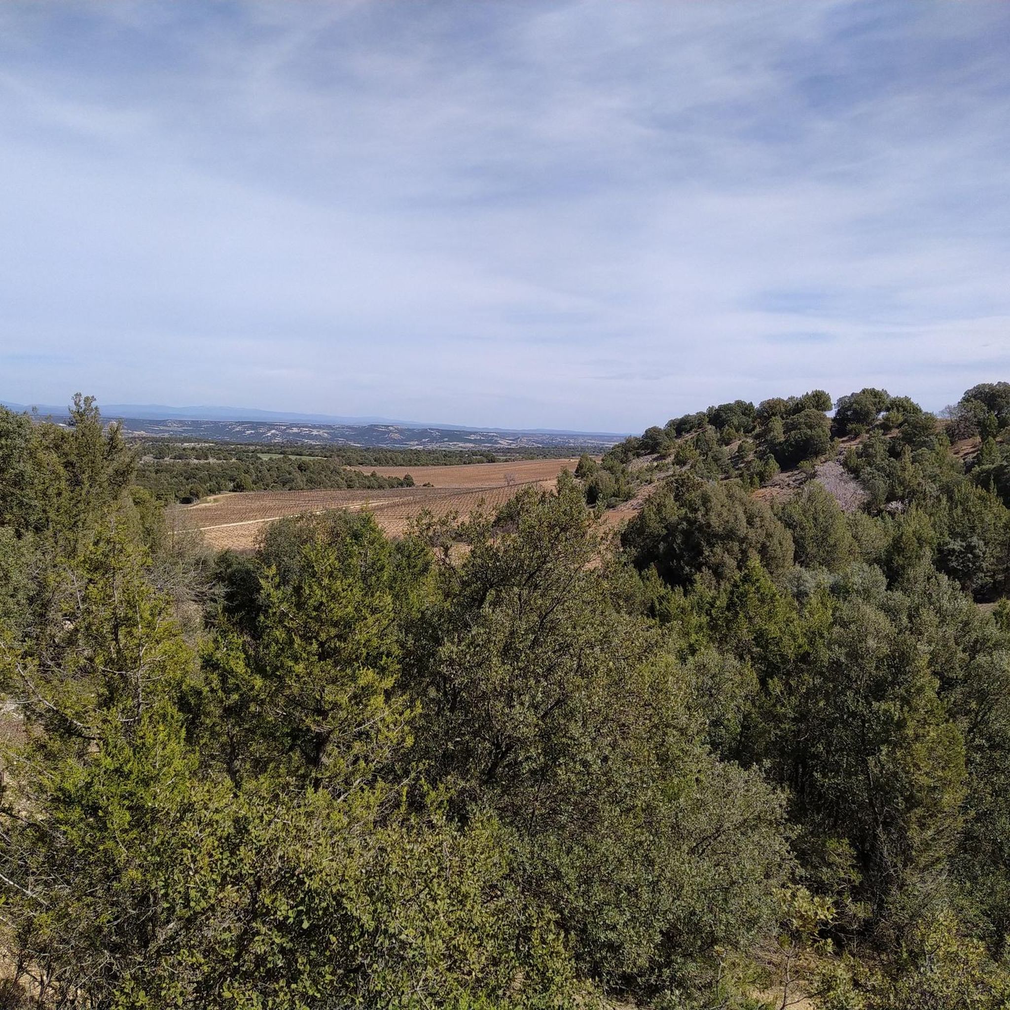
Hiking around Quemada reveals a landscape characterized by river valleys, such as those of the Duero and Arandilla, and extensive agricultural areas. The terrain often features gentle slopes and open countryside, with routes passing through vineyards and along waterways. This region offers a network of trails suitable for exploring its rural charm and natural features.
Best hiking trails around Quemada
- The most popular hiking route is Sendero de las Viñas (PRC-BU 71) — circular desde Quemada por Zazuar, a…
Last updated: July 5, 2026
1
hikers
3.44km
00:54
30m
30m
Explore the ancient streets and Duero riverbank of Aranda del Duero on this easy 2.1-mile circular hike, passing historic landmarks.
4.5
(2)
4
hikers
12.4km
03:17
120m
120m
Moderate hike. Good fitness required. Easily-accessible paths. Suitable for all skill levels.

Sign up for free
5.0
(1)
2
hikers
Moderate hike. Good fitness required. Easily-accessible paths. Suitable for all skill levels.
5.0
(1)
2
hikers
18.4km
04:55
210m
200m
Hike the moderate 11.4-mile Sendero de los Valles (PRC-BU 168) circular route from Vadocondes, exploring riverside forests and vineyards.
Moderate hike. Good fitness required. Easily-accessible paths. Suitable for all skill levels.
Get access to more routes and recommendations from other explorers.
Sign up for free
Already have an account?
Our route recommendations are based on thousands of hikes, rides, and runs completed by other people on komoot.
Start today with a free account
Your next adventure awaits.
Login or Signup

Tips from the Community

Built of stone and with several semicircular arches, it is a good example of medieval civil engineering and has withstood the test of time thanks to its solidity, although it has been restored at different times. At one time it was key for the transit of workers and goods between neighborhoods, contributing to the economic growth of Aranda. Today it is preserved as a heritage element and is a pleasant place to walk, forming part of the city's historic complex and allowing visitors to learn about its industrial and medieval past along the river.
2
0
The medieval Puente de las Tenerías, located in Aranda de Duero over the Bañuelos river, is one of the most interesting historical corners of the city, although less known than the Duero bridge. It is a construction of medieval origin, linked to the urban and industrial development of the town, as it takes its name from the old tanneries (leather tanning workshops) that were in the area and that needed abundant water for their activity.
2
0
The bridge is built of stone and is characterized by its semicircular arches; it originally had four, although today it retains three due to later renovations. Over the centuries it has undergone numerous restorations, especially due to the floods of the Duero, one of the most important being the expansion and widening in the 19th century. In addition to its architectural value, it has been a strategic point for the passage of people, goods and herds, and today it is a symbol of the city and a very pleasant place to walk and enjoy the views of the river and Aranda de Duero. [iglesiaslocales.com], [edadesdelh...ogspot.com]
2
0
The Aranda de Duero Bridge, also known as Puente Mayor, is one of the city's most important historical elements, as it crosses the Duero River and has been key to its development. Although often called "Roman", it is actually a bridge of medieval origin, with references from the 12th-14th centuries, when it served as a fundamental crossing point on trade routes and the old Royal Road that connected the center and north of Spain.
2
0

The Church of Saint Andrew the Apostle in Zazuar is a large church built between the 16th and 19th centuries. Its interior combines Gothic and Renaissance styles and is notable for its altars with 15th-century Castilian panels, a Gothic monstrance, and a processional cross. The masonry and stone tower was completed in 1802.
4
0
The Church of Saint Andrew the Apostle in Zazuar was built between the 16th and 19th centuries. Its interior combines Gothic and Renaissance styles and is notable for its altars with 15th-century Castilian panels, a Gothic monstrance, and a processional cross. The masonry and stone tower was completed in 1802.
4
0
The Church of Our Lady of the Assumption in Quemada, Burgos, is a Romanesque church (12th-13th centuries). Its most notable features are the 16th-century Renaissance tower, an 18th-century main altarpiece, and a Renaissance baptismal font.
4
0
The Aranda de Duero Bridge, also known as the Puente Mayor, is a medieval stone bridge over the Duero River. It is a symbol of the city and its heritage, connecting the old town with the modern areas. Although it has been renovated over time, it retains its historic essence.
4
1
Frequently Asked Questions
What kind of terrain can I expect when hiking around Quemada?
The hiking trails around Quemada are characterized by river valleys, such as those of the Duero and Arandilla, and extensive agricultural areas. You'll find gentle slopes and open countryside, with routes often passing through vineyards and along waterways. The region offers a network of trails suitable for exploring its rural charm and natural features.
Are there any easy hiking trails suitable for beginners in Quemada?
Yes, Quemada offers several easy hiking options. For example, the Duero Path is an easy 2.1 miles (3.4 km) trail that follows the Duero River, providing a flat and accessible option perfect for a relaxed stroll.
What are some notable landmarks or attractions I can see near the hiking trails?
While hiking around Quemada, you can explore several interesting attractions. Consider visiting the historic Church of Santa María la Real of Aranda de Duero, the impressive Aranda Bridge, or the serene Monastery of Santa María de la Vid. The charming settlement of Peñaranda de Duero is also a significant point of interest.
Are there any circular hiking routes available in Quemada?
Yes, there are several circular routes. A popular option is Sendero de las Viñas (PRC-BU 71) — circular desde Quemada por Zazuar, a 7.7-mile (12.4 km) trail offering views of vineyards and rural landscapes. Another is Peñaranda de Duero to San Juán del Monte — circular via the Río Arandilla, which is a moderate 5.6-mile (9.1 km) loop.
What do other hikers enjoy most about the trails in Quemada?
The area is highly rated by the komoot community, with an average score of 4.5 stars from over 12 reviews. Hikers often praise the peaceful rural landscapes, the well-maintained paths along the rivers, and the opportunity to experience the region's vineyards and agricultural fields.
How many hiking trails are there in Quemada?
There are over 25 hiking routes available in Quemada, ranging from easy riverside strolls to more moderate, longer routes through varied rural terrain.
Are there any longer or more challenging hikes for experienced hikers?
For those seeking a longer experience, the Trail of the Valleys is a moderate 11.4-mile (18.4 km) trail leading through varied rural terrain, typically completed in about 5 hours. Another moderate option is Castillo de Peñaranda de Duero y Ermita de la Virgen de la Vega — circular por el Río Arandilla, a 10.5-mile (16.9 km) route.
Is Quemada a good destination for family-friendly hikes?
Yes, Quemada offers several options suitable for families. The generally gentle terrain and accessible paths, particularly along the river valleys, make it a pleasant area for walks with children. Easy routes like the Duero Path are ideal for families.
What is the best time of year to go hiking in Quemada?
The region experiences a varied climate, making it suitable for outdoor enthusiasts throughout much of the year. Spring and autumn are particularly pleasant, offering mild temperatures and beautiful scenery, whether for enjoying spring wildflowers or autumn foliage in the vineyards.
Is there public transport available to reach hiking trailheads near Quemada?
Information regarding specific public transport links directly to trailheads is limited. It is generally recommended to use a car to access many of the rural starting points for hikes in the Quemada region, especially for flexibility. However, local bus services might connect larger towns in the area.
Are there parking facilities available at the trailheads?
While specific parking details for every trailhead are not always listed, many rural hiking areas in Spain typically have informal parking spots or small designated areas near villages or points of interest. It's advisable to check specific route details on komoot for any user-provided parking information.
Most popular attractions around Quemada

Get inspired with the komoot mobile app


Explore more
Browse the best Hikes in other regions.
