The best running trails around Boniches
113
runners
21
runs
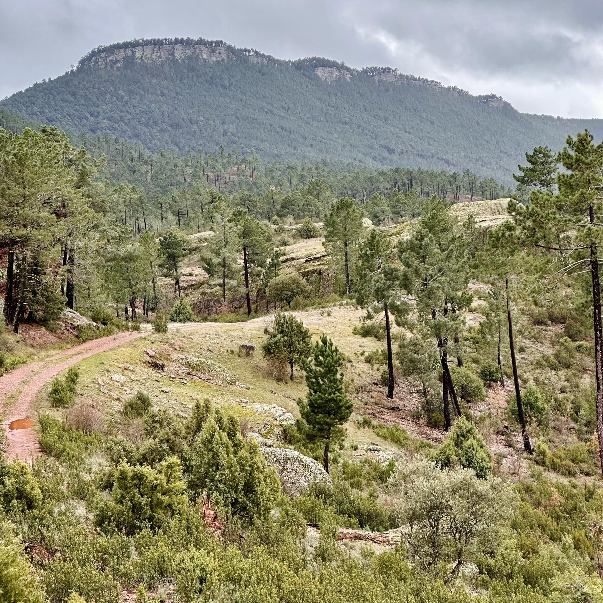
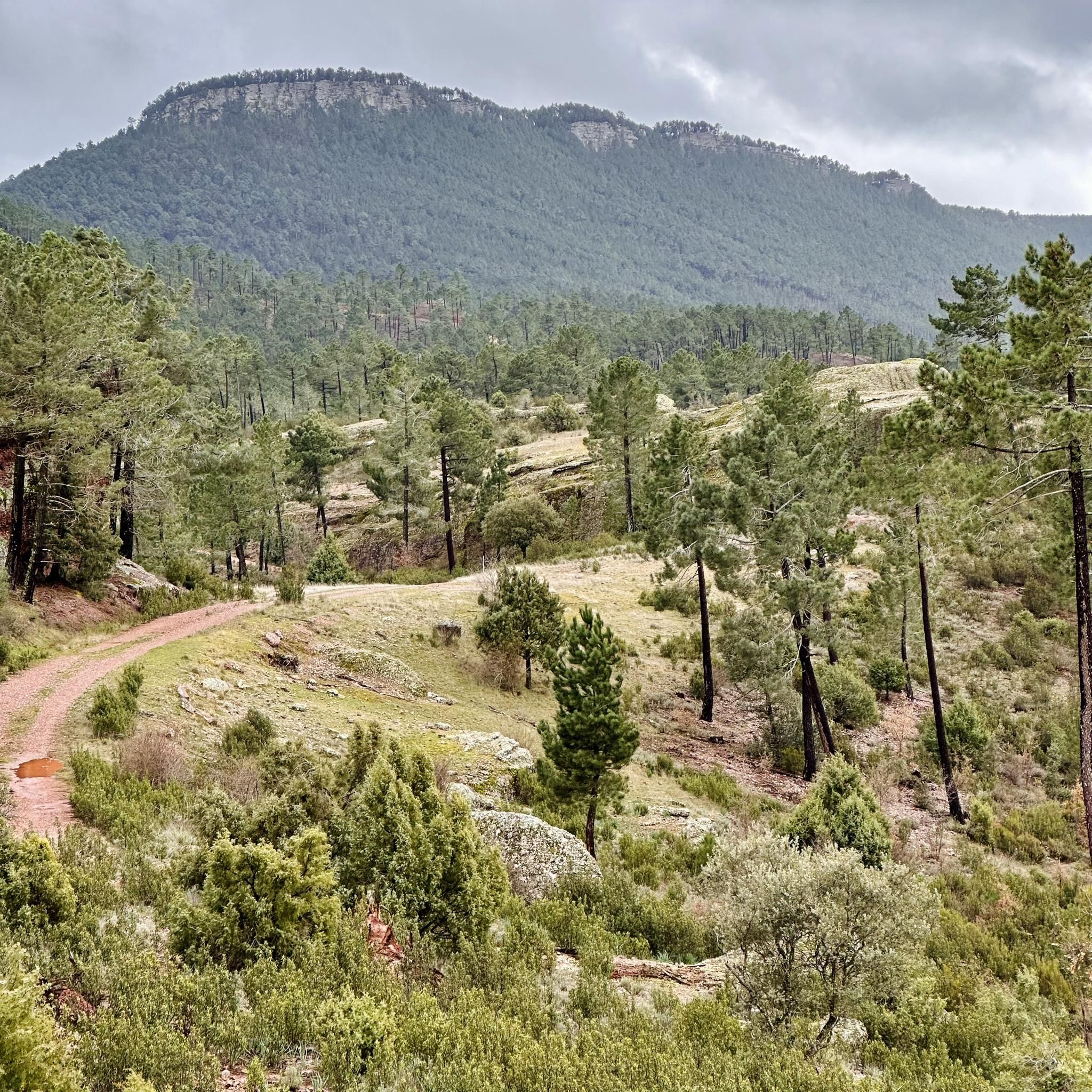
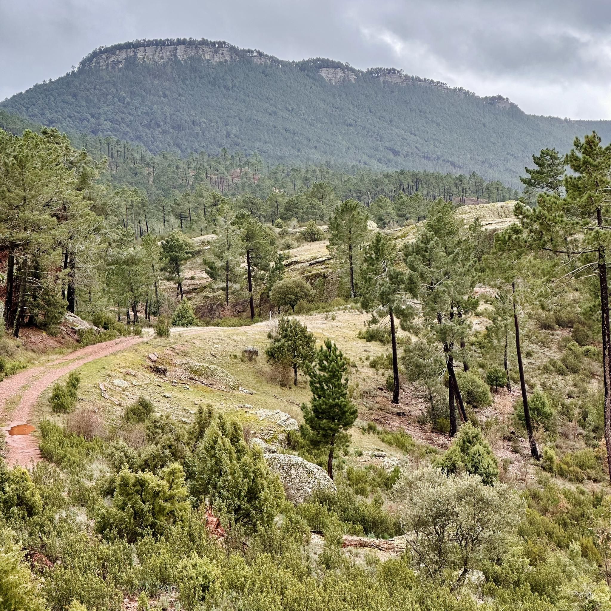
Jogging around Boniches offers a chance to explore the diverse landscapes of the Serranía Baja of Cuenca, Spain. The region is characterized by extensive pine forests, varied rock formations, and the Cabriel River, providing a range of natural features for running. Situated at an altitude of 1,090 meters, Boniches features varied terrain, from river valleys to impressive rock formations like "El Castil del Rey." These physical features contribute to a dynamic environment for outdoor activities, including running.
Best jogging routes around Boniches
- The most popular jogging route is Cascada El Traqueiro – circular from Boniches via the river Cabriel, a 5.4 miles (8.6 km) trail that takes about 1 hour to complete. This route features the scenic Cabriel River and its natural cascades.
- Another top favourite among local runners is Running loop from Boniches, a moderate 4.1 miles (6.6 km) path. This circular route offers varied terrain directly from Boniches.
- Local runners also love the Cabeza de Don Pedro – Cañete loop from Cañete, a 14.1 miles (22.7 km) trail leading through mountainous landscapes, often completed in about 3 hours 20 minutes.
- Jogging around Boniches is defined by pine forests, river valleys, and unique rock formations. The network offers options for different ability levels, from moderate loops to more challenging long-distance runs.
- The guide includes highly-rated routes that showcase the best of the region's landscape. More than 90 runners have used komoot to explore Boniches's varied terrain.
Last updated: June 30, 2026
8.65km
00:59
180m
180m
Moderate run. Good fitness required. Mostly paved surfaces. Suitable for all skill levels.
34
runners
22.7km
03:20
1,010m
1,010m
Hard run. Very good fitness required. Mostly paved surfaces. Suitable for all skill levels.

Sign up for free
21
runners
16.4km
02:15
540m
540m
Hard run. Very good fitness required. Mostly accessible paths. Some sure footedness required.
13
runners
8.56km
01:06
190m
190m
Moderate run. Good fitness required. Mostly paved surfaces. Suitable for all skill levels.
7
runners
20.2km
02:49
760m
770m
Hard run. Very good fitness required. Mostly paved surfaces. Suitable for all skill levels.
Get access to more routes and recommendations from other explorers.
Sign up for free
Already have an account?
Our route recommendations are based on thousands of hikes, rides, and runs completed by other people on komoot.
Start today with a free account
Your next adventure awaits.
Login or Signup

Tips from the Community

Municipality that is mainly dominated by its castle that is located at the top of the hill that accompanies the mountain. The wall starts at the foot of the town and climbs up the mountain making the turn!
0
0

As it passes through the province of Cuenca, the Cabriel River offers several natural waterfalls that are worth visiting. One of them is the one known as El Traqueiro, a waterfall less than 2 km from the town of Boniches, a very quiet and picturesque place that you can reach by an entertaining path bordering the river.
1
0
As it passes through the province of Cuenca, the Cabriel River offers several natural waterfalls that are worth visiting. One of them is known as El Traqueiro, a waterfall less than 2 km from the town of Boniches, a very quiet and picturesque place ideal for a plan with the whole family.
2
0
Frequently Asked Questions
How many running routes are available around Boniches?
Komoot offers a selection of over 10 curated running routes around Boniches. These routes cater to various fitness levels, with a mix of moderate and challenging options to explore the region's diverse landscapes.
Are there any easy or beginner-friendly jogging routes in Boniches?
While many routes are moderate to difficult, the region research highlights paths suitable for all ages and fitness levels. For a tranquil and easy jog, consider the River walk of the Vencherque River, which is noted for being flat, shaded, and suitable for families. You can also find shorter, less strenuous sections within longer trails.
Can I find circular running routes in Boniches?
Yes, Boniches offers several circular running routes. A popular option is Cascada El Traqueiro – circular from Boniches via the river Cabriel, which is 5.4 miles (8.6 km) long and takes about an hour. Another local favorite is the Running loop from Boniches, a moderate 4.1 miles (6.6 km) path directly from the village.
What kind of scenery can I expect on the jogging trails around Boniches?
Jogging in Boniches offers stunning natural scenery, characterized by extensive pine forests, impressive rock formations like "El Castil del Rey" and "La Peña de Sancho", and the picturesque Cabriel River. You'll encounter unique red sandstone formations in areas like El Rodenal, and various waterfalls such as El Troqueadero and Cascada El Pozo de La Horca, providing a visually rich experience.
Are there any jogging routes that feature waterfalls?
Absolutely! The region is known for its beautiful water features. The Cascada El Traqueiro – circular from Boniches via the river Cabriel route specifically highlights the scenic Cabriel River and its natural cascades. You can also find other waterfalls like El Troqueadero and Cascada El Pozo de La Horca in the wider Boniches area.
Are the running trails in Boniches suitable for families?
Many trails can be enjoyed by families, especially those looking for a more relaxed pace. The River walk of the Vencherque River is particularly recommended as an easy, flat, and shaded route, ideal for all ages. When choosing a route, consider the distance and elevation gain to match your family's fitness level.
What are some notable landmarks or points of interest along the running routes?
Beyond the natural beauty, you might encounter unique rock formations like Las Corbeteras and the impressive rock formations near Cañete. The confluence of the Cabriel and Mayor Rivers at Paraje del Ayuntaderos is also a notable natural resource. The area also features historical elements, such as rock shelters in the Rodenal del Cabriel.
Are there any long-distance or challenging running routes for experienced runners?
Yes, for experienced runners seeking a challenge, Boniches offers several demanding routes. The Cabeza de Don Pedro – Cañete loop from Cañete is a significant 14.1 miles (22.7 km) trail through mountainous landscapes, typically taking over 3 hours to complete. Another difficult option is the Cabeza de la Vereda – La Picota loop from Cañete, which covers 12 miles (19.4 km).
What do other runners say about jogging in Boniches?
The komoot community highly values the running experience in Boniches. Over 90 runners have explored these trails, often praising the chance to disconnect from urban life and immerse themselves in the rich natural heritage. The diverse landscapes, from pine forests to river valleys and unique rock formations, are frequently highlighted as key attractions.
Is there parking available near the trailheads in Boniches?
While specific parking details for every trailhead are not provided, Boniches is a rural area, and parking is generally available in or near the village. For popular areas like El Rodenal de Boniches or the River walk of the Vencherque River, you can usually find designated or informal parking spots nearby, especially in the village itself.
What is the best time of year to go jogging in Boniches?
Boniches, situated at an altitude of 1,090 meters, offers pleasant conditions for jogging during many months. Spring and autumn generally provide mild temperatures and vibrant scenery. During summer, the shaded river walks, like the River walk of the Vencherque River, are ideal for escaping the heat. Winters can be cooler but offer a different, serene experience.
Are there any routes that offer natural bathing spots for a post-run cool down?
Yes, Boniches is home to several natural bathing areas. El Estrecho de Boniches, an impressive gorge, features natural bathing spots during the summer months. Additionally, "El pozo de las mulas" is a natural bathing spot in a lush forest with small waterfalls, perfect for a refreshing dip after your run.
Most popular routes around Boniches
Most popular attractions around Boniches

Get inspired with the komoot mobile app


Explore more
Browse the best Running Trails & Routes in other regions.
