The best road cycling routes around Rundkollen og Sortungsbekken
4.3
(3)
175
riders
7
rides
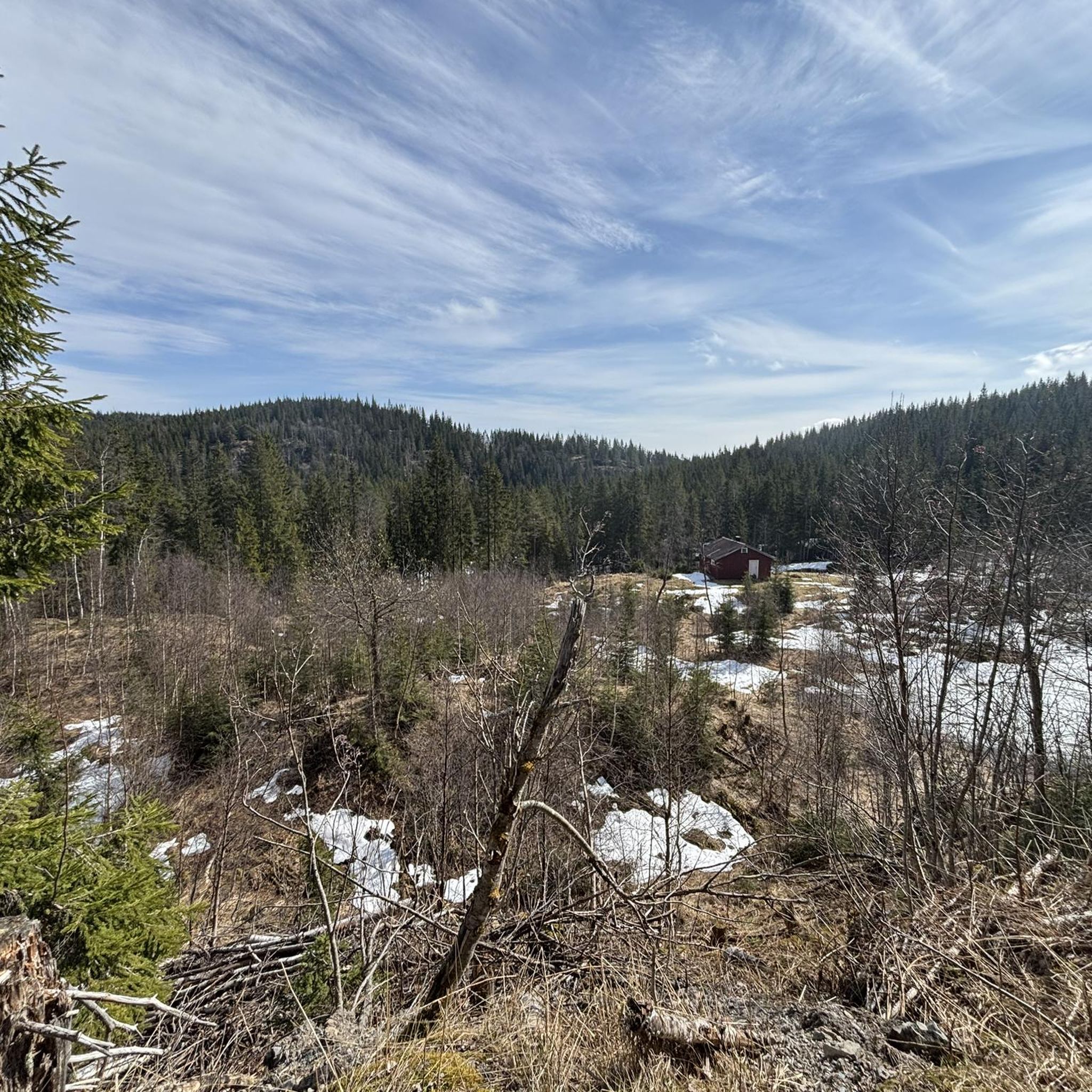
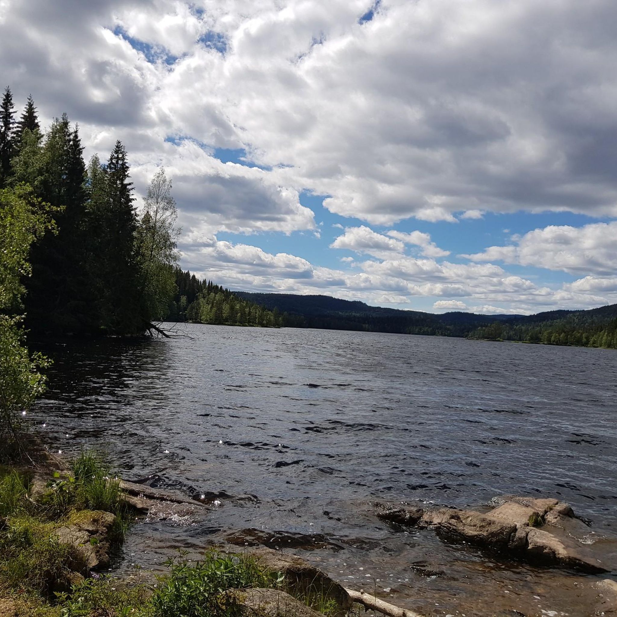
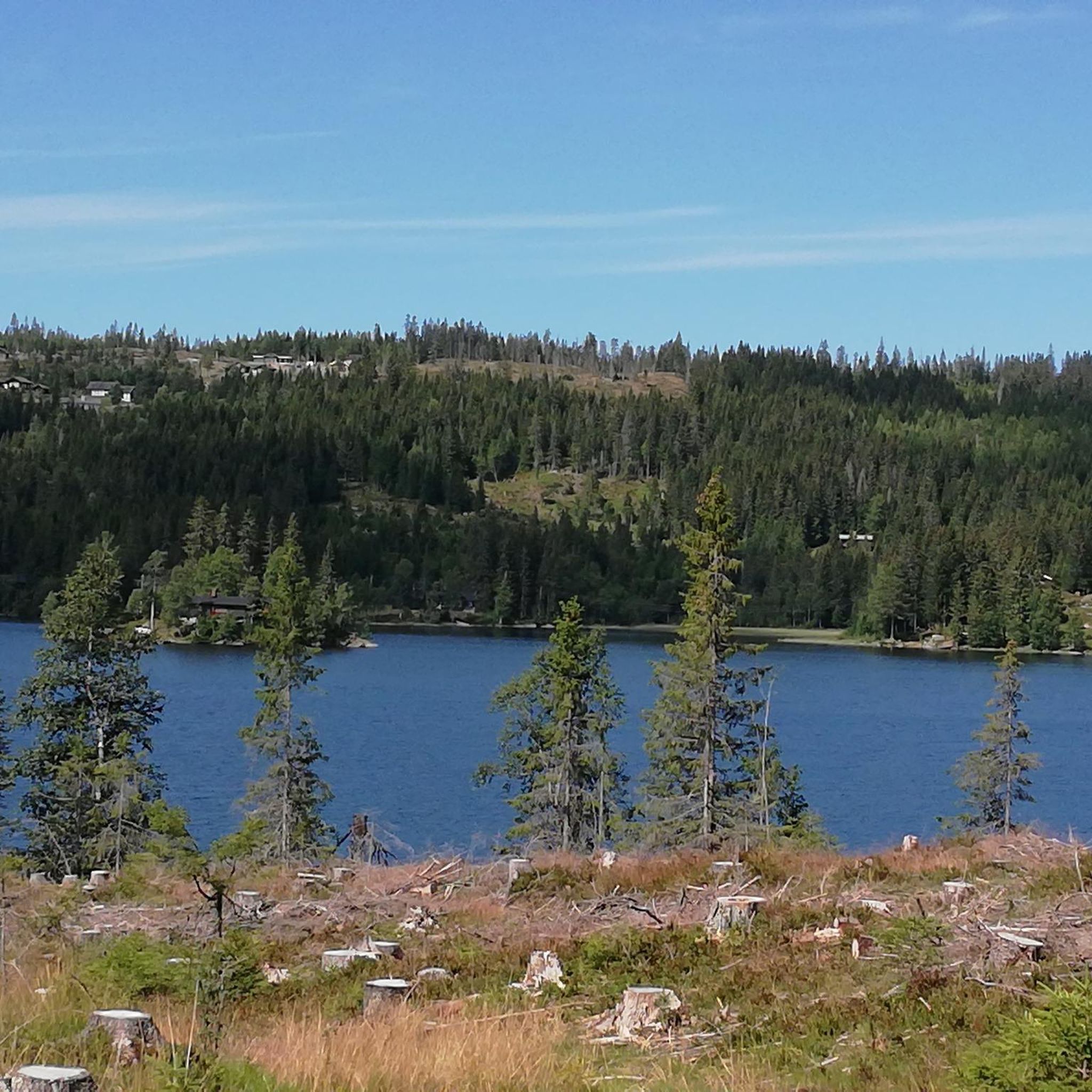
Road cycling routes around Rundkollen og Sortungsbekken traverse a region characterized by its mountainous terrain and natural reserve status. The area features varied elevation changes, with routes that include both gentle gradients and more significant climbs. While the core nature reserve is known for its peaks, the surrounding areas offer a network of paved roads suitable for road cycling, often winding through valleys and past natural features. These routes provide opportunities to experience the landscape's diverse topography.
Best road cycling…
Last updated: August 22, 2026
14
riders
23.3km
01:07
200m
200m
Easy road ride. Great for any fitness level. Mostly well-paved surfaces and easy to ride.
15
riders
20.8km
00:59
200m
200m
Easy road ride. Great for any fitness level. Mostly well-paved surfaces and easy to ride.

Sign up for free
3.5
(2)
64
riders
43.9km
02:06
510m
510m
Moderate road ride. Good fitness required. Mostly well-paved surfaces and easy to ride.
10
riders
83.9km
03:55
920m
920m
Hard road ride. Very good fitness required. Some segments of this route may be unpaved and difficult to ride.
7
riders
40.2km
02:08
640m
640m
Moderate road ride. Good fitness required. Some segments of this route may be unpaved and difficult to ride.
Get access to more routes and recommendations from other explorers.
Sign up for free
Already have an account?
Our route recommendations are based on thousands of hikes, rides, and runs completed by other people on komoot.
Start today with a free account
Your next adventure awaits.
Login or Signup


Frequently Asked Questions
How many road cycling routes are available around Rundkollen og Sortungsbekken?
There are 7 road cycling routes available around Rundkollen og Sortungsbekken on komoot. These routes traverse a region characterized by its mountainous terrain and natural reserve status, offering varied elevation changes.
What kind of terrain can I expect on road cycling routes in this region?
The road cycling routes around Rundkollen og Sortungsbekken feature mountainous terrain, valleys, and country roads. While the core nature reserve is known for its peaks, the surrounding areas offer a network of paved roads suitable for road cycling, often winding through valleys and past natural features. You can expect both gentle gradients and more significant climbs.
Are there road cycling routes suitable for beginners around Rundkollen og Sortungsbekken?
Yes, there are 3 easy road cycling routes in the area. For example, the Hakadalselva loop from Hakadal is an easy 14.5-mile (23.3 km) trail that follows the Hakadalselva river, offering a smooth ride. Another easy option is the Hakadal Verk Hydropower Dam loop from Varingskollen, which features gentle ascents and descents.
Are there challenging road cycling routes for experienced cyclists?
Yes, there is 1 difficult road cycling route available for experienced cyclists seeking a greater challenge. Additionally, there are 3 moderate routes, such as the Kalvsjøtjernet – Stortjernet loop from Harestua, which covers 50.8 miles (81.8 km) with significant elevation gain, providing a demanding ride.
What is the best time of year for road biking around Rundkollen og Sortungsbekken?
The best time for road cycling in this region, like much of Norway, is typically from late spring to early autumn (May to September). During these months, the weather is generally milder, roads are clear of snow and ice, and the natural scenery is at its most vibrant. Always check local weather conditions before heading out.
Are there any loop road bike trails in the area?
Yes, many of the road cycling routes in the Rundkollen og Sortungsbekken area are designed as loops. Examples include the Hakadalselva loop from Hakadal and the Hakadal Verk Hydropower Dam – Scenic Country Road loop from Åneby, allowing you to start and finish at the same point.
Are there family-friendly road cycling routes near Rundkollen og Sortungsbekken?
For families, the easier routes are generally more suitable. The 3 easy routes, such as the Hakadalselva loop from Hakadal, offer smoother rides with less elevation, making them more enjoyable for a family outing. Always consider the distance and elevation profile to match your family's ability.
Can I find cafes or places to stop along the road cycling routes?
While specific cafes directly on every route are not detailed, the routes are generally in areas with small towns and villages like Hakadal, Varingskollen, Åneby, and Harestua. These locations typically offer opportunities to find cafes, shops, or other amenities for a break during your ride.
Is public transport accessible for reaching road cycling routes?
The region around Rundkollen og Sortungsbekken has some public transport options, particularly in larger nearby towns. For routes starting from places like Hakadal, Varingskollen, Åneby, or Harestua, it's advisable to check local bus or train schedules to see if they align with your starting points. Specific public transport details for each route are not provided, so planning ahead is recommended.
Are there parking options near the road cycling routes?
Parking is generally available in the towns and villages where many of these routes begin, such as Hakadal, Varingskollen, Åneby, and Harestua. Look for designated parking areas or public parking facilities in these locations to start your road cycling adventure.
What are some moderate road cycling routes in the Rundkollen og Sortungsbekken area?
There are 3 moderate road cycling routes available. A popular choice is the Hakadal Verk Hydropower Dam – Scenic Country Road loop from Åneby, a 27.2-mile (43.9 km) trail leading through scenic country roads. Another moderate option is the Elgsjøen – Grønntjernet loop from Harestua, covering 24.4 miles (39.2 km) with notable elevation changes.
What do other road cyclists enjoy most about road cycling in Rundkollen og Sortungsbekken?
Road cyclists using komoot often appreciate the diverse topography of the Rundkollen og Sortungsbekken region, which offers a mix of mountainous terrain, valleys, and scenic country roads. The variety of routes, from easy river-following paths to more challenging loops with significant elevation, allows cyclists of all levels to find an enjoyable experience.
Most popular routes around Rundkollen og Sortungsbekken

Get inspired with the komoot mobile app


Explore more
Browse the best Road cycling routes in other regions.
