The best MTB trails around Tronchón
5.0
(1)
41
riders
7
rides
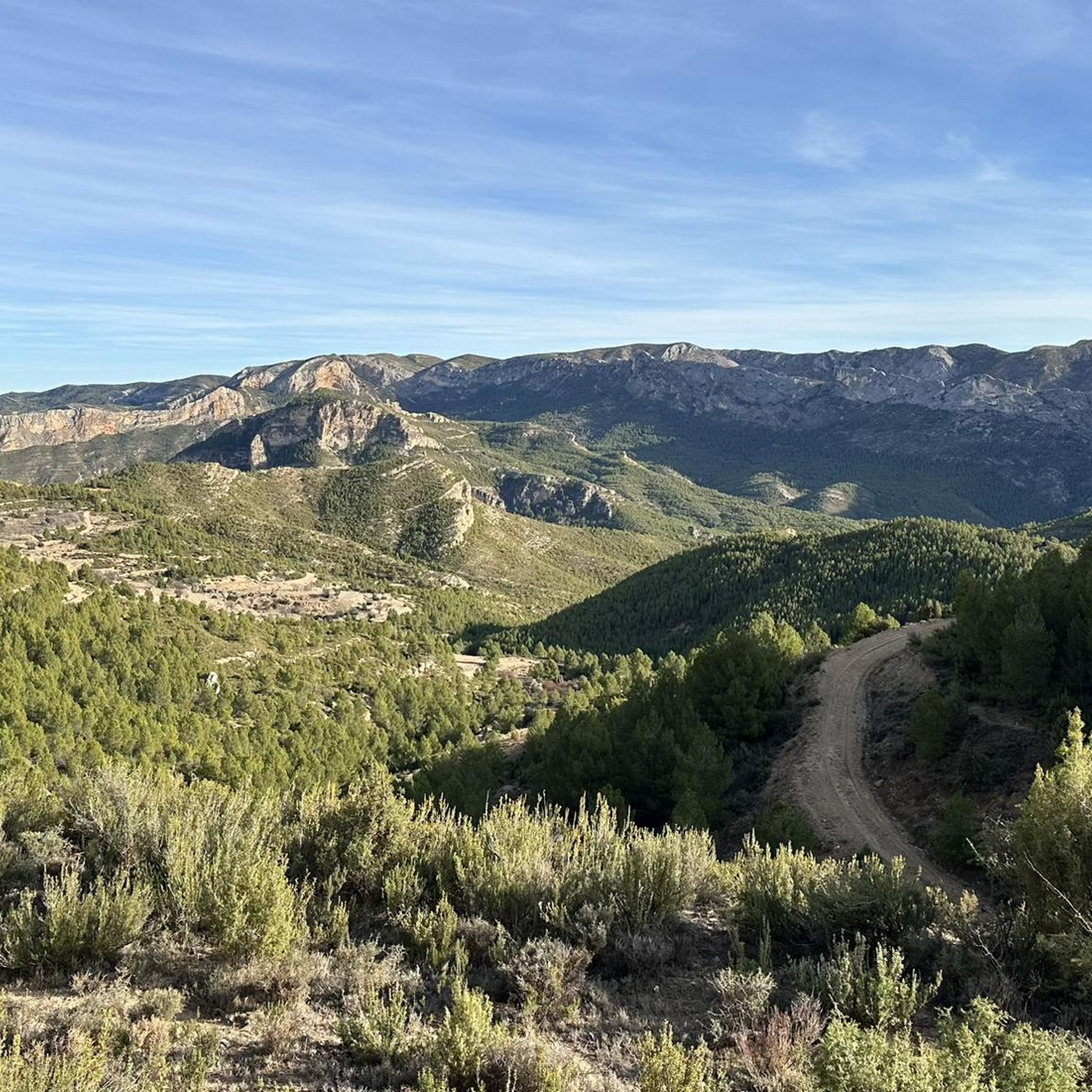
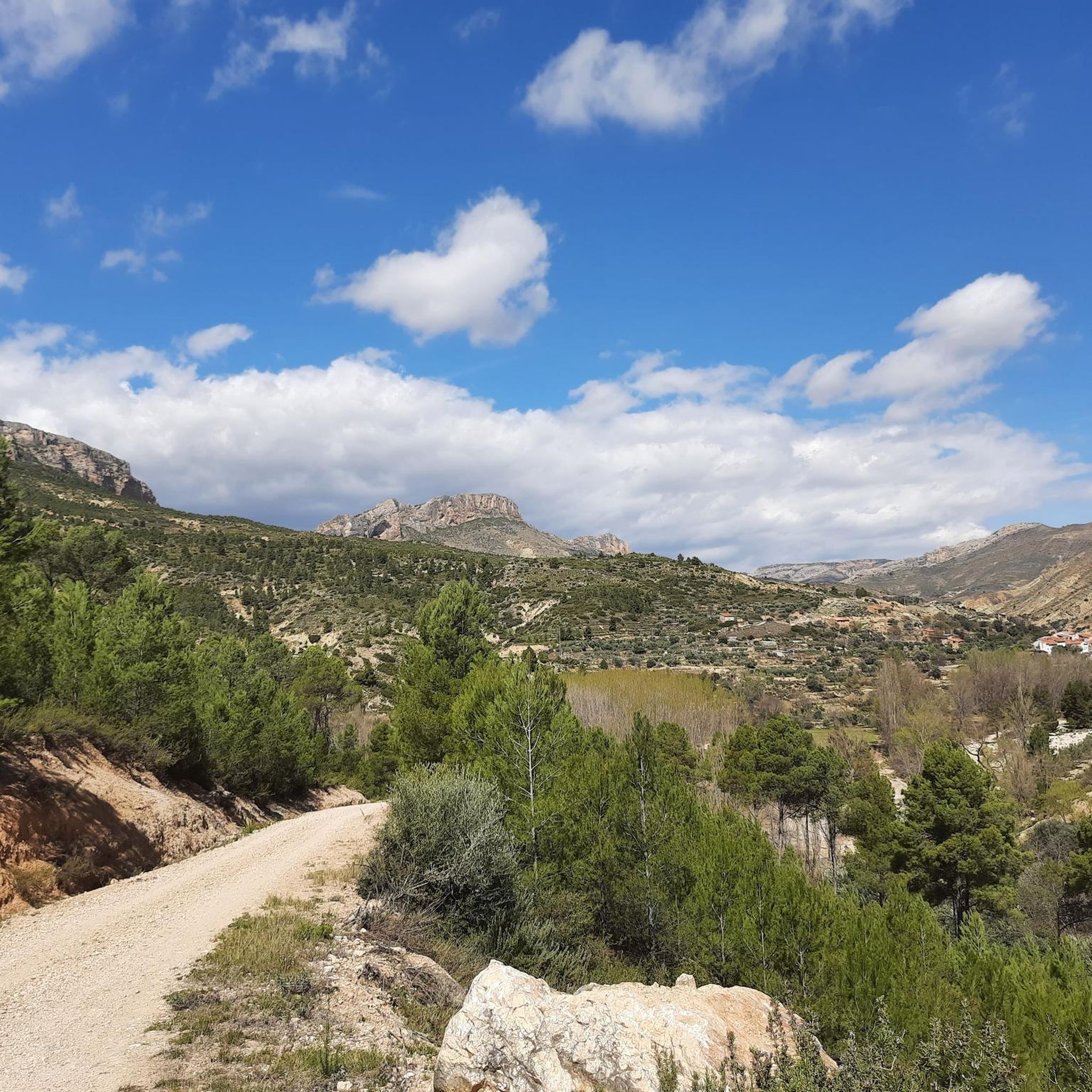
Mountain bike trails around Tronchón are set within the rugged Maestrazgo region of Teruel, Aragón, characterized by high limestone mountains, deep ravines, and extensive pine forests. The village itself sits at 1009 meters above sea level, offering naturally elevated and challenging terrain. This area provides a diverse landscape for mountain biking, from technical descents to flowing paths through natural environments. The region's geology, part of the Maestrazgo Cultural Park, includes dramatic viewpoints and varied natural features.
Best mountain bike trails…
Last updated: June 28, 2026
5.0
(1)
9
riders
Moderate mountain bike ride. Good fitness required. Suitable for all skill levels.
4
riders
Moderate mountain bike ride. Good fitness required. Advanced riding skills necessary.

Sign up for free
2
riders
39.9km
04:01
890m
890m
Moderate mountain bike ride. Good fitness required. Advanced riding skills necessary.
1
riders
28.2km
02:42
600m
600m
Moderate mountain bike ride. Good fitness required. Advanced riding skills necessary.
13
riders
29.1km
02:51
720m
730m
Moderate mountain bike ride. Good fitness required. Advanced riding skills necessary.
Get access to more routes and recommendations from other explorers.
Sign up for free
Already have an account?
Our route recommendations are based on thousands of hikes, rides, and runs completed by other people on komoot.
Start today with a free account
Your next adventure awaits.
Login or Signup

Tips from the Community

We also find numerous interesting buildings scattered throughout the rest of the municipality. For example, the castle of El Cid (11th-12th century), the fortified farm of La Torre. Also several hermitages such as those of Loreto (1648), Santa Bárbara (1715), San Cristóbal (around 1500) and Buen Suceso, in short, definitely worth a visit.
1
0
Fortanete offers incredible views and is surrounded by two rugged mountain ranges: the Sierra de la Cañada and the Tarrascón-Las Las Lastras mountain ranges. The natural environment is mainly dominated by high, cool pastures and especially by the extensive and well-preserved winter pine forests.
1
0

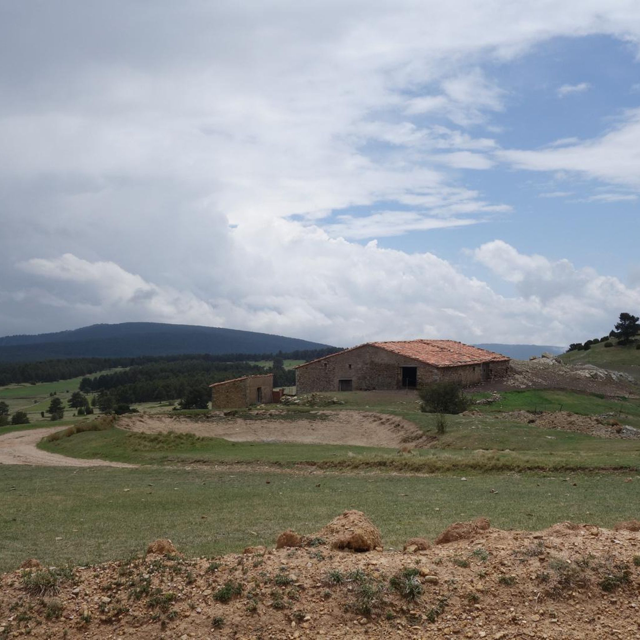
Narrow trail ideal for running and a little more complicated for MTB.
0
0

Las Casas de San Juan is one of the farmer neighborhoods that were part of the municipality of Cantavieja. Currently abandoned, we find it in the ravine of the Cuba river and we will also see it if we take route 6 of the Maestrazgo btt center.
1
0
Cantavieja is another wonderful town belonging to the Teruel Maestrazgo that will encourage us to get lost in its ancient and beautiful streets and corners until we reach the town's castle. Without a doubt, the town of Cantavieja deserves to be listed among the 100 most beautiful towns in Spain.
2
0
The port of Villarroya separates the Sierra de Gúdar. From the Villarroya viewpoint we will have magnificent views of the town of Villarroya de los Pinares.
1
0
Located at an altitude of 1,575 meters, we are at the Las Dehesas viewpoint with impressive views of the Fortanete forests and the Dehesas Valley. We will see an information panel and a wooden bench in case we want to rest.
1
0
We are in the town of Cañada de Benatanduz (a town with a lot of history) located at the foot of the Sierra de la Cañada, in the central area of the Maestrazgo Cultural Park with impressive views that will undoubtedly make us take out the camera to photograph them.
1
0
Frequently Asked Questions
How many mountain bike trails are available around Tronchón?
There are 13 mountain bike trails available around Tronchón. These routes offer a mix of moderate and difficult challenges, catering to experienced riders.
What is the general difficulty level of mountain biking in Tronchón?
Mountain biking around Tronchón is characterized by its challenging terrain. The routes are primarily of moderate and difficult ability levels, with no easy routes available. Riders should be prepared for high limestone mountains, deep ravines, and extensive pine forests.
Are there any family-friendly mountain bike trails in Tronchón?
Given the terrain and the listed difficulty levels, which are primarily moderate and difficult, Tronchón does not offer specific easy or family-friendly mountain bike trails suitable for young children or beginners. The routes are better suited for more experienced riders.
What kind of landscapes can I expect to see while mountain biking in Tronchón?
You'll experience dramatic and varied landscapes, including high, untamed limestone mountains, deep ravines, and expansive pine forests. The area is part of the Maestrazgo Cultural Park, offering a blend of rugged natural beauty and scenic vistas. You might also encounter fields scented with thyme and rosemary, adding to the immersive natural environment.
What are some notable natural features or viewpoints to look out for?
The region offers several impressive natural features. Keep an eye out for dramatic viewpoints like Piedra del Castillo, which provides panoramic vistas. The natural monument of Los Órganos de Montoro, near Villarluengo, is also a significant attraction in the vicinity. You can explore the village of Villarluengo itself, or the historic town center of Cantavieja.
What do other mountain bikers say about the trails in Tronchón?
The mountain bike routes in Tronchón are highly rated by the komoot community, with an average score of 5.0 stars from over 1 review. Riders often praise the varied terrain and the immersive natural environment of the Maestrazgo region.
Are there any circular mountain bike routes available?
Yes, there are several circular routes. For example, you can try the Masadas y Casas de San Juan — circular desde Cantavieja (BTT06 Maestrazgo), a moderate 20.3-mile trail. Another option is the Cantavieja – Iglesuela del Cid loop from Cantavieja, which is 19.2 miles long.
What is the best time of year to go mountain biking in Tronchón?
Tronchón, situated at 1009 meters above sea level in the high Maestrazgo mountains, experiences distinct seasons. Spring and autumn generally offer the most pleasant weather for mountain biking, with milder temperatures. Summers can be warm, while winters can be cold, especially at higher elevations, so check local weather conditions before planning your trip.
Are there places to eat or stay near the mountain bike trails?
Tronchón is a charming medieval village, and the broader Maestrazgo region has infrastructure for adventure tourism. While specific cafes or pubs directly on trails are not detailed, you can find accommodation and dining options in Tronchón itself and nearby villages like Cantavieja, Fortanete Village, or Mirambel.
Is there parking available at the trailheads?
While specific trailhead parking is not detailed, the presence of the 'Centro BTT Maestrazgo' in the wider area suggests developed infrastructure for mountain biking, which typically includes parking facilities. It's advisable to check specific route starting points for parking availability.
Can I reach Tronchón by public transport for mountain biking?
Public transport options directly to Tronchón for mountain biking may be limited due to its rural, elevated location. It's generally recommended to travel by car to access the trailheads and explore the region more flexibly.
Are there any particularly long or challenging routes for experienced riders?
Yes, for experienced riders seeking a significant challenge, the Tower of La Iglesuela del Cid – View of Cinctorres loop from Cantavieja is a difficult route spanning 79.3 miles (127.7 km) with over 1500 meters of elevation gain, typically taking around 6 hours to complete.
Most popular routes around Tronchón
Most popular attractions around Tronchón

Get inspired with the komoot mobile app


Explore more
Browse the best MTB trails in other regions.
