The best walks and hikes around Vallclara
4.7
(604)
3,771
hikers
198
hikes
Hiking around Vallclara offers diverse terrain, characterized by rolling hills, expansive open spaces, and dense forests. The region's proximity to the Catalan Pyrenees provides access to a mountainous landscape, including alpine lakes and traditional stone villages. This varied Vallclara hiking terrain allows for a range of experiences, from gentle walks to more challenging ascents. The area also borders the Aigüestortes i Estany de Sant Maurici National Park, known for its glacial lakes and rich biodiversity.
Best hiking trails around Vallclara
…Last updated: July 1, 2026
4.7
(9)
71
hikers
5.90km
01:41
140m
140m
Easy hike. Great for any fitness level. Easily-accessible paths. Suitable for all skill levels.
5.0
(1)
17
hikers
13.2km
04:08
480m
480m
Moderate hike. Good fitness required. Easily-accessible paths. Suitable for all skill levels.

Sign up for free
15
hikers
13.6km
04:13
480m
480m
Moderate hike. Good fitness required. Easily-accessible paths. Suitable for all skill levels.
21
hikers
Moderate hike. Good fitness required. Easily-accessible paths. Suitable for all skill levels.
4.7
(3)
7
hikers
8.30km
02:49
410m
410m
Moderate hike. Good fitness required. Easily-accessible paths. Suitable for all skill levels.
Get access to more routes and recommendations from other explorers.
Sign up for free
Already have an account?
Our route recommendations are based on thousands of hikes, rides, and runs completed by other people on komoot.
Start today with a free account
Your next adventure awaits.
Login or Signup

Tips from the Community

Ideal place to see the Pyrenees with clear skies, amazing.
1
0
Place with a magical touch, you can see a very positive energy. Nearby is a little-known site, where burials dating back to the 10th century were found during logging work, known as the Gringol Necropolis.
2
0

Peter's cave has an entrance 15 meters wide and about five meters high and where in the past, it was covered by a wall that gave it protection. It is known as the cave of Nen de Prades who was a soldier in the Carline War of the late 19th century.
1
1

A good viewpoint where you can contemplate the Prades Mountains.
2
0
Impressive modernist style forest house built at the beginning of the 20th century. Formerly, in this house, lived the person in charge of carrying out the surveillance of the forest.
2
0

El Tossal de la Baltasana, better known as the Tower by the people of Prades. At the top there is a geodesic vertex, a weather vane and also a small lookout hut with signals, repeaters and a web cam/weather station. From the geodesic vertex, protruding a little from the forest, you will contemplate the views of the surroundings: you will see the village of Prades below and, beyond, the Montsant mountain range. Other peaks in the Tarragona regions can also be seen, such as the Mola de Colldejou or the antennas of the Mussara. In the background, on clear days, you might be able to see the Massif del Port. On the other side, if the sky is clear you can see the Pyrenees, from Puigmal to Mont Perdut. This peak is on the list of the 100 peaks of the F.E.E.C.
3
0


Frequently Asked Questions
How many hiking trails are available around Vallclara?
There are over 170 hiking routes recorded around Vallclara, offering a wide variety of experiences. These trails are highly rated by the komoot community, with an average score of 4.7 stars.
What is the range of difficulty for hikes in Vallclara?
Vallclara offers a diverse range of hiking difficulties. You'll find approximately 60 easy routes, 89 moderate trails, and 25 more challenging hikes, ensuring options for all experience levels.
Are there family-friendly hiking options near Vallclara?
Yes, Vallclara has several easy routes suitable for families. For example, the Serra de la Llena – Punta Curull Summit loop from Vilanova de Prades is an easy 3.7-mile (5.9 km) trail that offers pleasant views and takes about 1 hour 41 minutes to complete.
Can I find circular hiking routes in Vallclara?
Many of the trails around Vallclara are designed as circular routes, allowing you to start and end at the same point. An example is the Punta Curull Summit – El Vilosell loop from Vilanova de Prades, a moderate 7.9-mile (12.8 km) path connecting the summit with the village of El Vilosell.
What natural landmarks or viewpoints can I discover on hikes around Vallclara?
Hiking in Vallclara offers access to several notable natural landmarks. You can explore the Cave of the Cranes, the unique rock formations of Els Avencs de la Febró, or reach the Tossal de la Baltasana summit for panoramic views. The Casa Forestal del Tillar – Tossal de la Baltasana summit loop is a great route to experience forested areas leading to this summit.
Are there any multi-day trekking opportunities in the Vallclara region?
Yes, for more adventurous hikers, the Vallclara area is part of routes like the Carros de Foc (Chariots of Fire). This is a renowned loop trail connecting various mountain huts (refugis) across the Aigüestortes i Estany de Sant Maurici National Park, facilitating multi-day trekking experiences.
What kind of terrain can I expect when hiking around Vallclara?
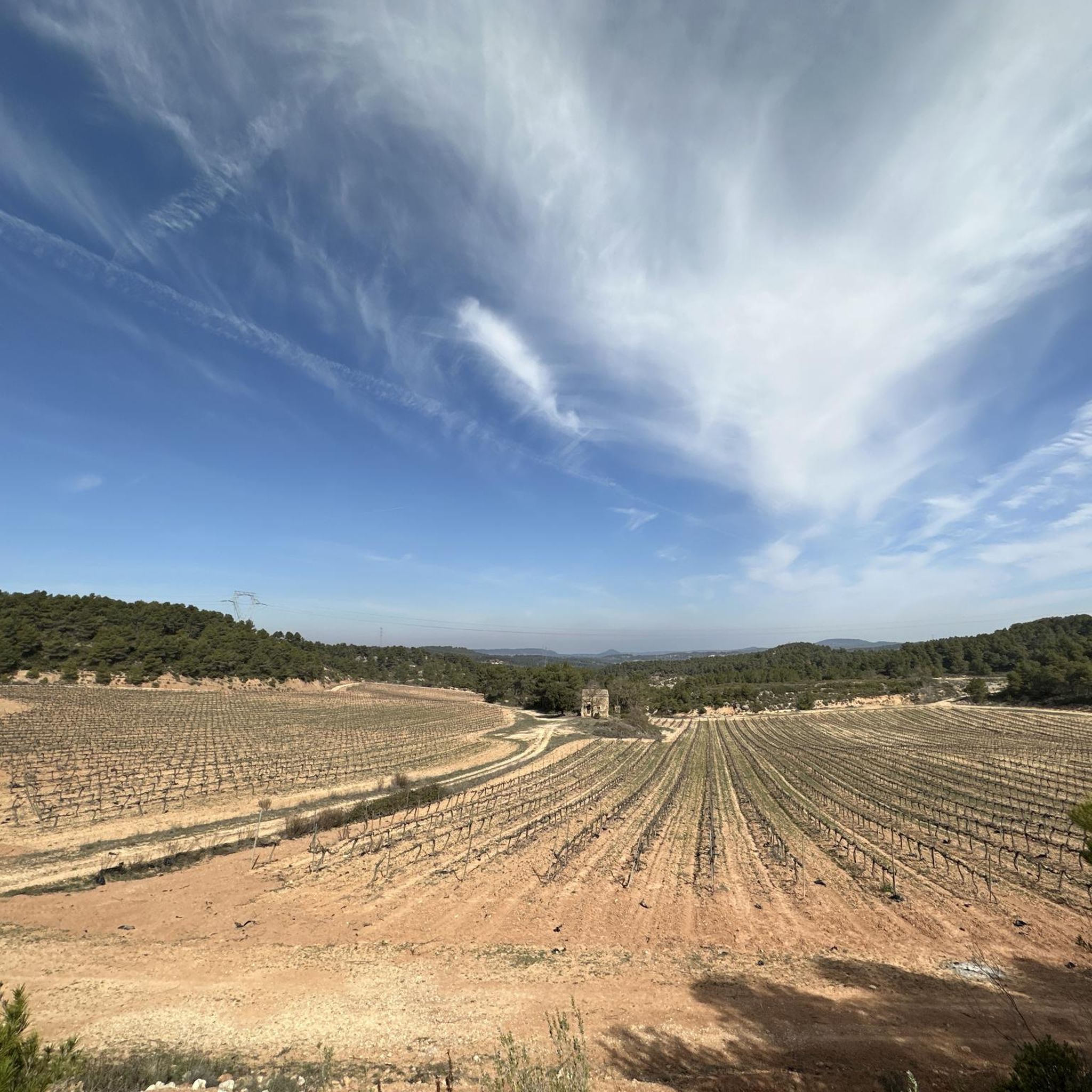
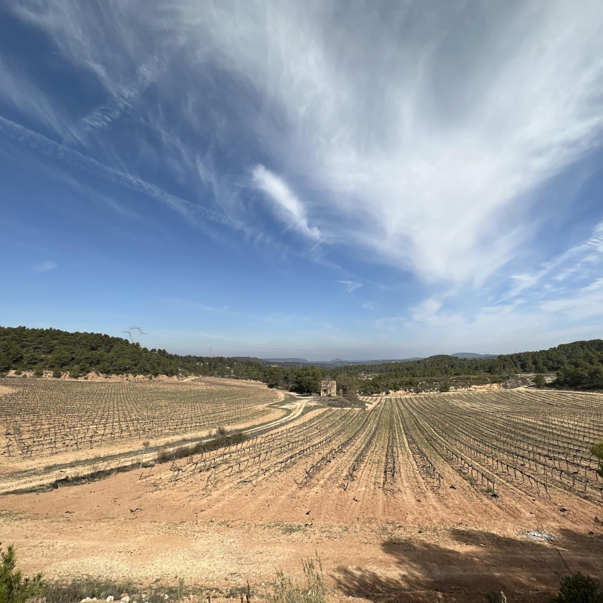
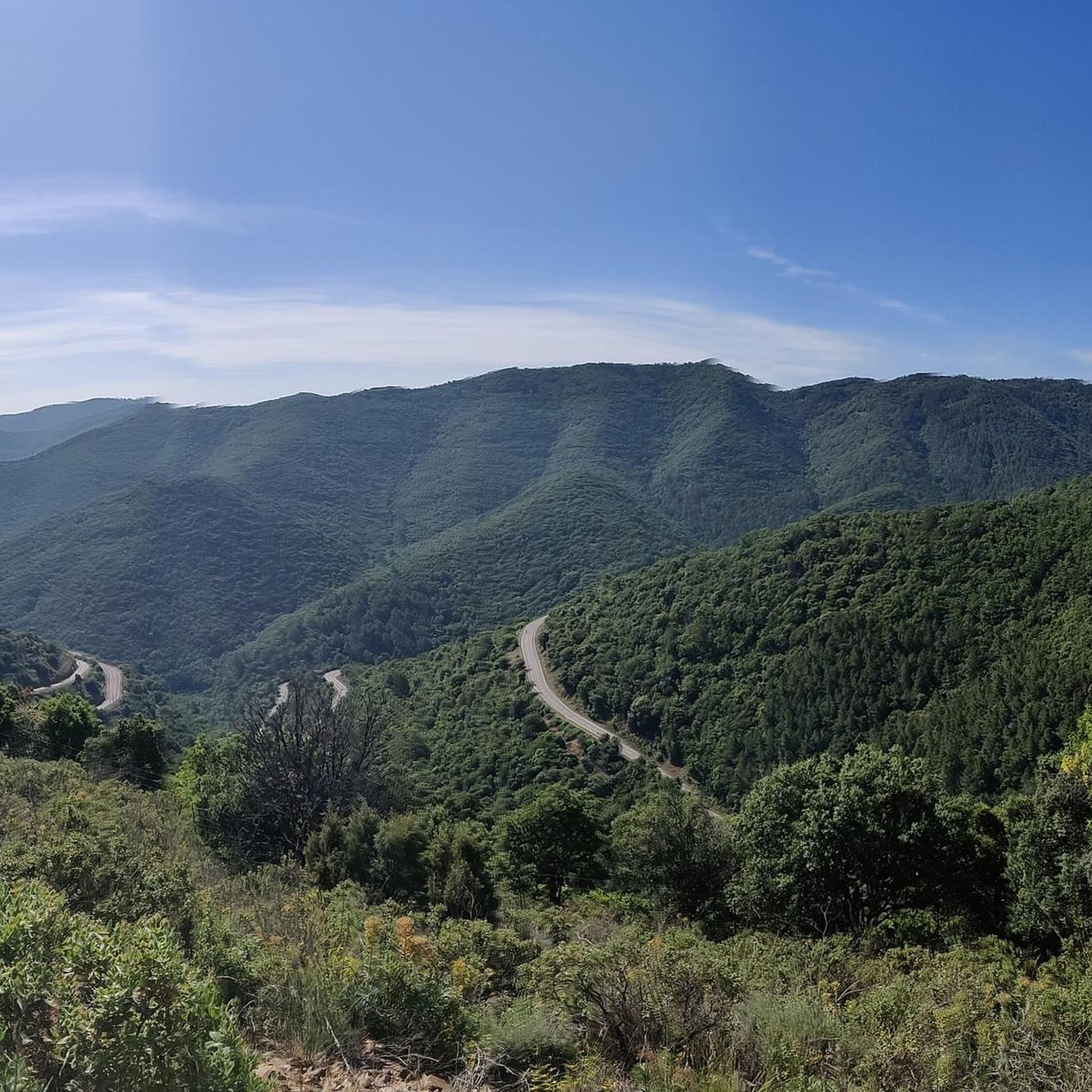
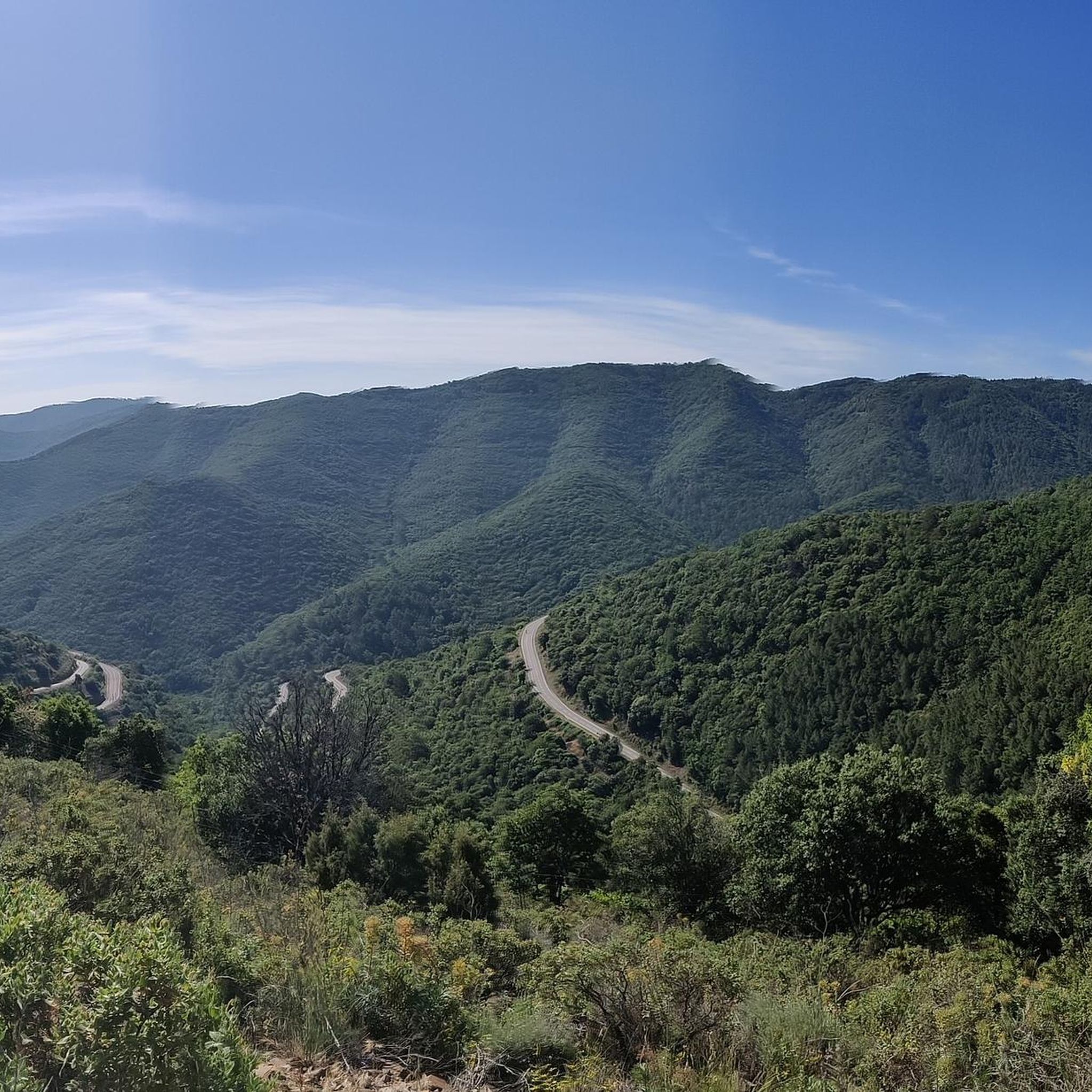
The terrain around Vallclara is quite diverse, featuring rolling hills, expansive open spaces, and dense forests. The region's proximity to the Catalan Pyrenees also introduces mountainous landscapes, including alpine lakes and traditional stone villages, offering a varied hiking experience.
What do other hikers enjoy most about hiking in Vallclara?
The komoot community highly rates the hiking in Vallclara, with an average score of 4.7 stars from over 500 reviews. Hikers often praise the diverse terrain, from rolling hills to dense forests, and the well-maintained trail system that caters to various ability levels.
Are there any challenging hikes for experienced trekkers?
Yes, for those seeking a challenge, Vallclara offers difficult routes. An example is the Main Square of Prades – Tossal de la Baltasana summit loop from Área de Lleure de la Font de la Teula, a 10.1-mile (16.2 km) trail with significant elevation gain, providing a rewarding experience for experienced hikers.
Can I hike to viewpoints offering panoramic scenery?
Absolutely. Many trails in the region lead to stunning viewpoints. The Penya Alta – Punta Curull Summit loop from Vilanova de Prades is a moderate route that offers excellent opportunities for panoramic views of the surrounding landscapes.
What is the best time of year to hike in Vallclara?
While specific seasonal data isn't provided, the diverse terrain of Vallclara, with its forests and hills, generally makes spring and autumn ideal for hiking due to milder temperatures and vibrant natural colors. Summer can also be pleasant, especially at higher elevations or during cooler parts of the day.
Are there any historical trails or cultural points of interest along the hikes?
Yes, the region features historic routes such as the Camin Reiau, an ancient Roman road. This trail traverses valleys and charming mountain villages, offering a blend of natural beauty and cultural heritage for hikers to explore.
Most popular routes around Vallclara
Most popular attractions around Vallclara

Get inspired with the komoot mobile app


Explore more
Browse the best Hikes in other regions.
