The best road cycling routes in the Bridger Range
5.0
(2)
387
riders
18
rides
Road cycling in the Bridger Range traverses a landscape characterized by dramatic escarpments, rounded peaks, and a series of ridges and valleys. This region features forested lower elevations transitioning to alpine meadows, offering varied terrain for cyclists. The range extends approximately 40 miles between Bozeman and Maudlow, with prominent peaks such as Sacagawea Peak at 9,596 feet. The network includes stretches of asphalt and rolling gravel, providing diverse cycling experiences.
Best road cycling routes in the Bridger Range
- The most popular road cycling route is Bridger Canyon – Flaming Arrow Rock loop from Bridger Creek, a 43.7 miles (70.4 km) trail that takes 3 hours 30 minutes to complete. This route offers varied terrain through scenic canyon landscapes.
- Another top favourite among local road cyclists is Highland Glen Nature Preserve – Kelly Canyon Road loop from Bozeman, a moderate 45.6 miles (73.4 km) path. This route leads through low-traffic Kelly Canyon Road.
- Local road cyclists also love the Glen Lake loop from Bridger Creek, an 18.8 miles (30.3 km) trail providing views of the surrounding natural environment, often completed in about 1 hour 30 minutes.
- Road cycling in the Bridger Range is defined by dramatic escarpments, forested lower elevations, and alpine meadows. The network offers options for easy and moderate ability levels.
- The routes in Bridger Range are highly rated by the komoot community with an average score of 5.0 stars from 1 review. More than 280 road cyclists have used komoot to explore Bridger Range's varied terrain.
Last updated: October 15, 2026
69
riders
62.3km
03:23
640m
640m
Moderate road ride. Good fitness required. Some segments of this route may be unpaved and difficult to ride.
45
riders
26.2km
01:27
250m
250m
Moderate road ride. Great for any fitness level. Some segments of this route may be unpaved and difficult to ride.

25
riders
72.7km
04:09
830m
830m
Moderate road ride. Good fitness required. Some segments of this route may be unpaved and difficult to ride.
5.0
(2)
37
riders
44.0km
02:14
340m
340m
Moderate road ride. Good fitness required. Some segments of this route may be unpaved and difficult to ride.
14
riders
41.8km
02:04
280m
280m
Moderate road ride. Good fitness required. Some segments of this route may be unpaved and difficult to ride.
13
riders
17.6km
00:51
90m
90m
Moderate road ride. Great for any fitness level. Some segments of this route may be unpaved and difficult to ride.
11
riders
71.6km
03:42
580m
580m
Moderate road ride. Good fitness required. Some segments of this route may be unpaved and difficult to ride.
10
riders
29.6km
01:28
250m
250m
Moderate road ride. Great for any fitness level. Some segments of this route may be unpaved and difficult to ride.
11
riders
23.3km
01:12
190m
190m
Easy road ride. Great for any fitness level. Mostly well-paved surfaces and easy to ride.
6
riders
79.0km
04:30
990m
990m
Hard road ride. Very good fitness required. Some segments of this route may be unpaved and difficult to ride.
Get access to more routes and recommendations from other explorers.
Already have an account?
Our route recommendations are based on thousands of hikes, rides, and runs completed by other people on komoot.
Start today with a free account
Your next adventure awaits.

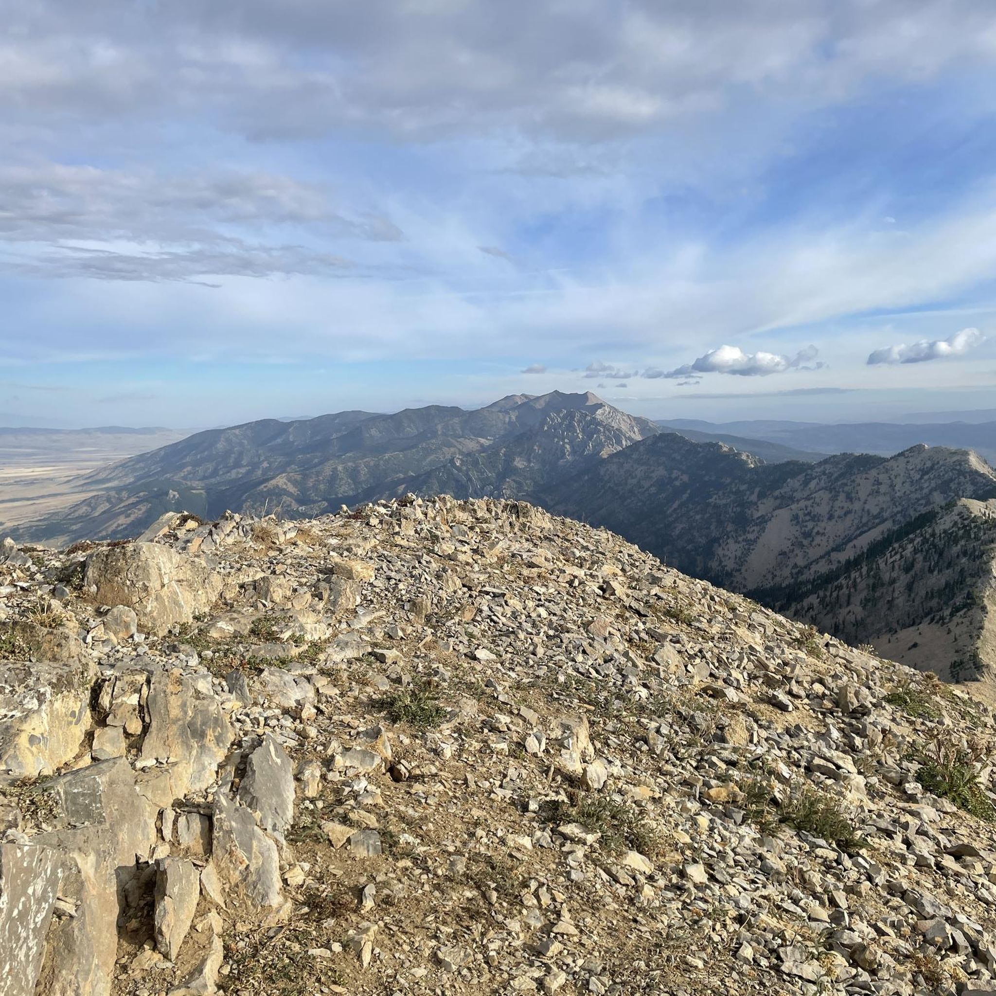
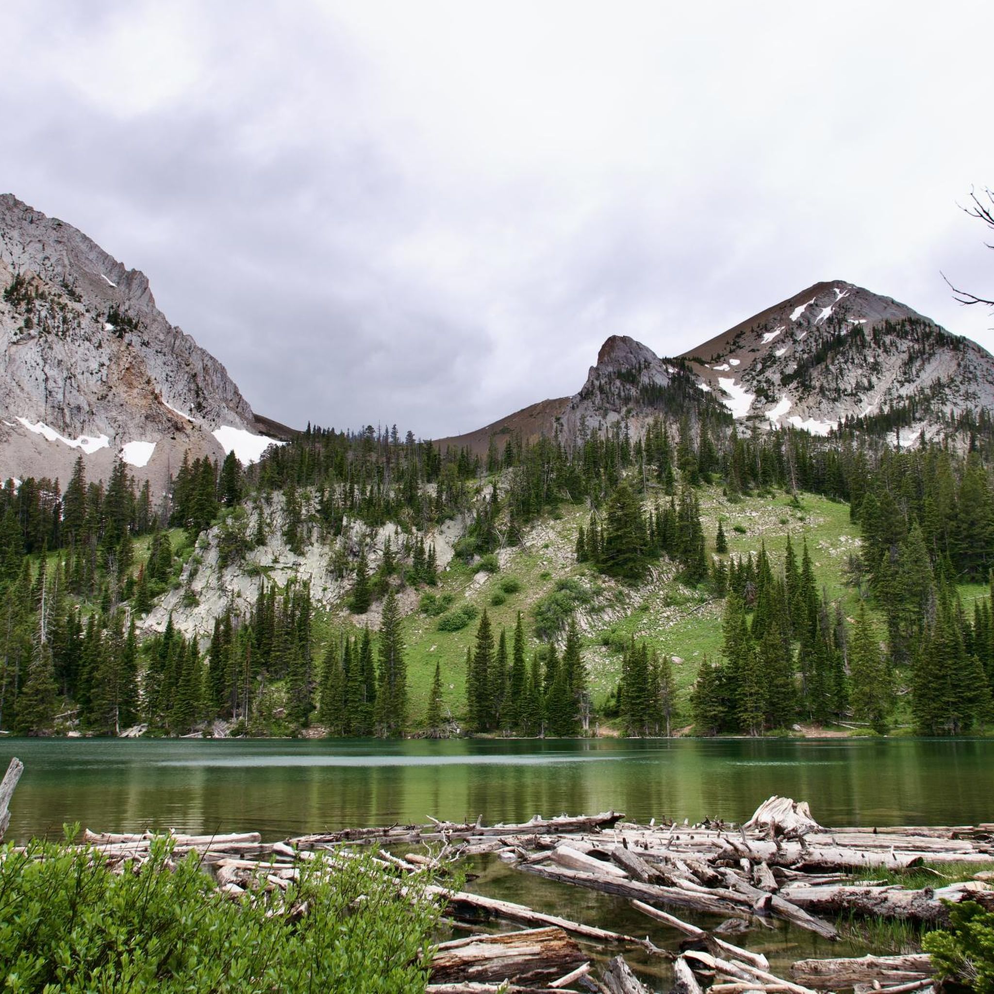
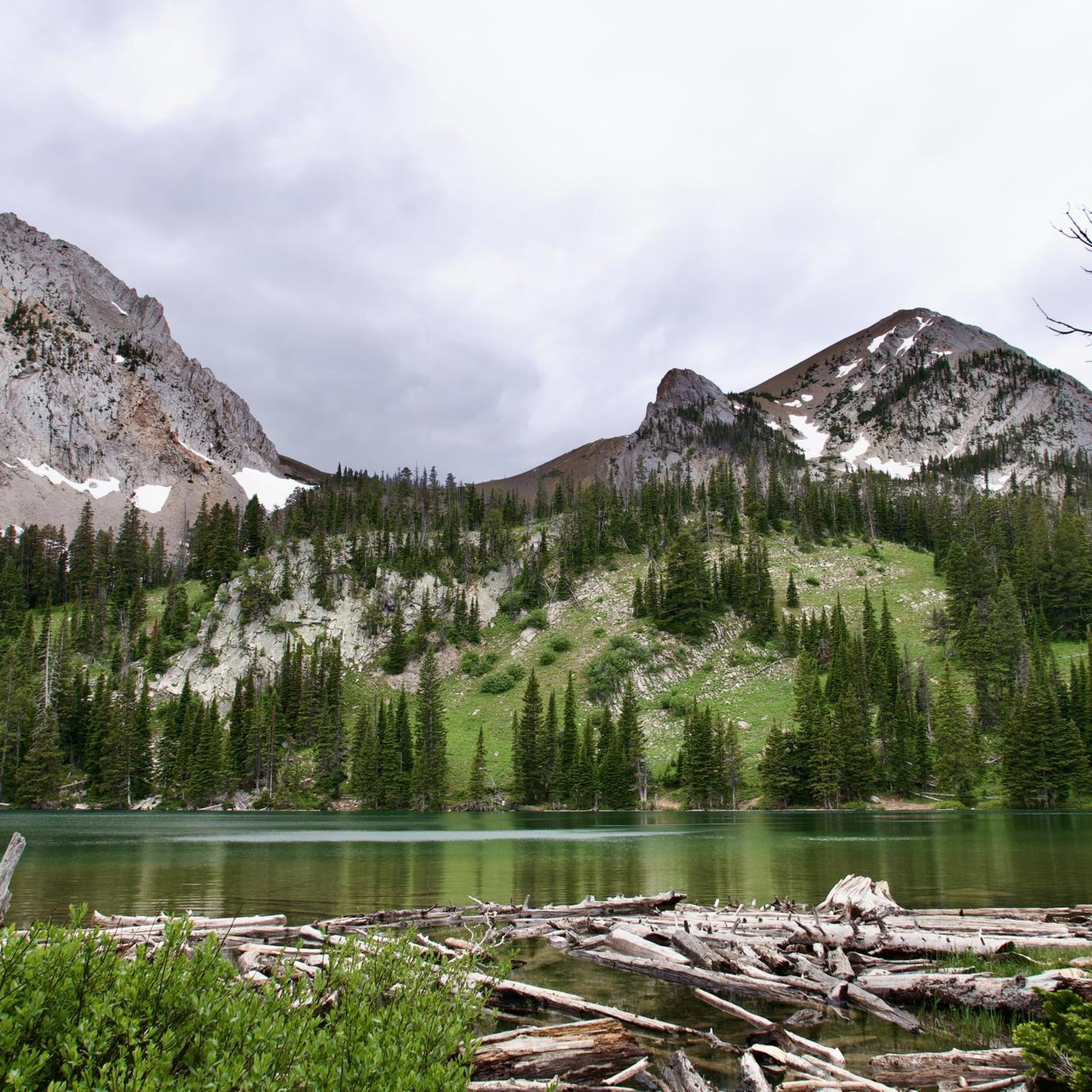
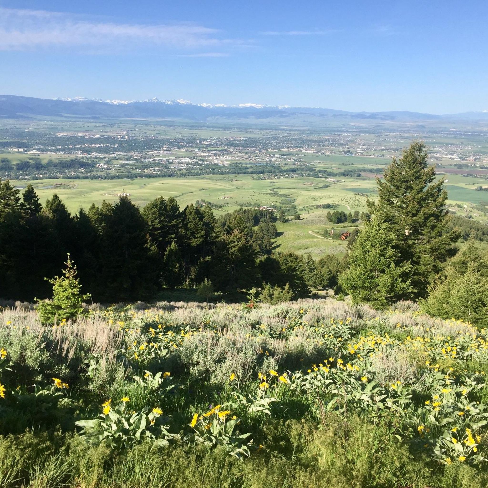

Other adventures in the Bridger Range

Tips from the Community

Commonly referred to as the "Cow Trails," the Highland Glen Nature Preserve has a network of single track and double track trails that are open to biking, running, and hiking. In the winter, this is a cross country ski area. The trails get their nickname from the herd of cows that lives in the preserve. Make sure to always close and latch any gates that you go through!
0
0

The spur trail is well-maintained, finely crushed gravel.
0
0

This is the northern terminus for the Gallagator Trail. The trail is a popular route for walkers and cyclists. It is crushed gravel and takes you into the center of Bozeman via a beautiful tree lined gravel path.
0
0
This is the trail head for the Triple Tree Trail. It is a popular loop in the southern suburbs of Bozeman, frequented by runners, hikers, and bikers. Expect to encounter plenty of other trail users, especially on nice days. Much of the route winds through forested areas, eventually leading to a bald summit with a bench and sweeping views of Bozeman and the Bridger Range. The lookout is exposed, offering little to no shade.
0
0
Story Mill Nature Reserve is a 40 acre nature sanctuary that has several miles of trails that cut through a large green space. There are still remnants of the water-powered mill and grain elevator that used to be active on this land.
0
0

Nice road with a short steep climb up to 11% eastward to summit. Good way to get to/from Bozeman to miss the busier lower sections of Bridger Canyon Road. Not much traffic!
0
0

Bozeman Fish Technology Center is a working fish hatchery that you can visit just outside of Bozeman, Montana in Bridger Canyon. You can view and feed the fish, learn about the important work and services that fish hatcheries provide, and hike one of over 2,100 miles of trails and boardwalks located near the facility.
0
0

The Gallatin Valley, now known as Bridger Canyon, was referred to as "The Valley of Flowers" by Native Americans long before Lewis and Clark's arrival. Despite being claimed by the Blackfoot, it was recognized by all Indian tribes as neutral ground, signifying its historical importance as a meeting place and symbol of unity. Along this route you will be able to see the stunning landscape of mountains, rivers, valleys and meadows.
0
0
Frequently Asked Questions
How many road cycling routes are available in the Bridger Range?
There are over 15 road cycling routes in the Bridger Range, offering a variety of experiences from easy to moderate difficulty levels. The komoot community has explored more than 350 of these routes.
What is the best time of year for road cycling in the Bridger Range?
The best season for road cycling in the Bridger Range typically extends from late spring through early fall. During this period, conditions are generally favorable, though late spring and early fall can still see variable weather, including snow on higher peaks like Sacagawea well into May or June. Always check local weather forecasts before heading out.
Are there any easy road cycling routes suitable for beginners or families in the Bridger Range?
Yes, the Bridger Range offers several easy road cycling routes. For instance, the Roadbike loop from Bozeman is an easy 12.1-mile path. Another good option is the Highland Glen Nature Preserve – Kelly Canyon Road loop from Bobcat Stadium, which is 23.8 miles and also rated easy.
What kind of road surfaces can I expect while cycling in the Bridger Range?
Road cycling in the Bridger Range offers diverse terrain. You'll find long stretches of glassy high-speed asphalt, particularly on routes like Kelly Canyon Road, which is known for low traffic. However, some areas may feature rolling gravel sections. While some remote passes are better suited for all-road or mountain bikes due to rough dirt sections, many routes provide a mix of paved and packed gravel surfaces.
Where can I find parking for road cycling routes in the Bridger Range?
Parking availability varies by trailhead. Many routes are accessible from Bozeman, which offers various parking options. For specific routes like those involving Kelly Canyon Road, you can often find parking near the starting points in and around Bozeman or at designated trailheads. Always check local signage for parking regulations.
Are there any challenging road cycling routes with significant elevation gain?
Yes, the Bridger Range features routes with notable elevation gain. For example, the Highland Glen Nature Preserve – Kelly Canyon Road loop from Bozeman covers 45.6 miles with over 850 meters of elevation gain, offering a moderate challenge. The range's dramatic escarpments contribute to varied and sometimes steep climbs.
What landmarks or viewpoints can I see along road cycling routes in the Bridger Range?
Road cycling routes in the Bridger Range offer stunning views of dramatic escarpments, rounded peaks, and alpine meadows. You might pass by areas near Bridger Canyon, or enjoy the scenic Kelly Canyon Road. The region is also known for its wildflowers, historically referred to as the 'Valley of Flowers'.
Are there any circular road cycling routes in the Bridger Range?
Yes, many road cycling routes in the Bridger Range are designed as loops. Popular options include the Bridger Canyon – Flaming Arrow Rock loop from Bridger Creek, a 43.7-mile route, and the shorter Glen Lake loop from Brentwood, which is 17.3 miles.
What do other road cyclists enjoy most about cycling in the Bridger Range?
The Bridger Range is highly rated by the komoot community, with an average score of 4.0 stars. Cyclists often praise the diverse terrain, from smooth asphalt to rolling gravel, and the stunning natural beauty, including dramatic escarpments and alpine meadows. The low-traffic roads, such as Kelly Canyon Road, are frequently highlighted for their peaceful and scenic experience.
Are there any road cycling routes that pass by lakes or natural preserves?
Yes, some routes offer views of natural features like lakes and preserves. The Glen Lake loop from Brentwood circles Glen Lake, providing scenic views. Additionally, routes like the Highland Glen Nature Preserve – Kelly Canyon Road loop from Bozeman pass by natural preserve areas.
Can I access road cycling routes in the Bridger Range using public transport from Bozeman?
While the Bridger Range is conveniently located just northeast of Bozeman, direct public transport options to specific trailheads for road cycling may be limited. It's advisable to check local Bozeman public transport schedules and routes for connections that might get you close to the starting points of your chosen cycling routes.
Are there any permits required for road biking in the Bridger Range?
Generally, no specific permits are required for road biking on public roads within the Bridger Range. However, if your route takes you through private land or specific managed areas, it's always best to check for any local regulations or access requirements. Most Forest Service-maintained trails are multi-use and accessible.
Most popular routes in the Bridger Range
Most popular attractions in the Bridger Range

Get inspired with the komoot mobile app


Explore more
Browse the best Road cycling routes in other regions.
