The best walks and hikes around Gallegos Del Río
12
hikers
6
hikes
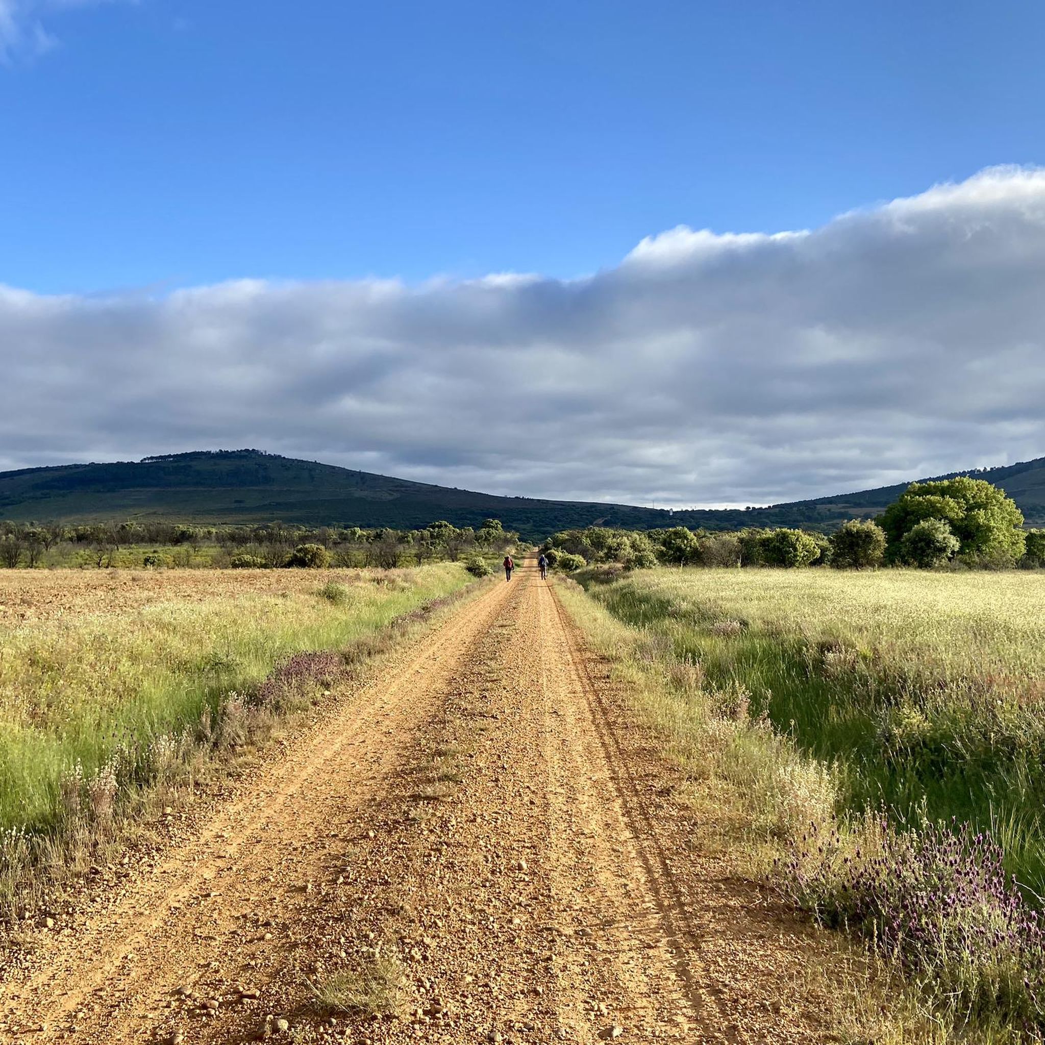
Hiking around Gallegos Del Río offers exploration of the Aliste region's natural environment, centered around the Aliste River. The terrain features riverine paths, small gorges, and traditional rural scenery with stone houses and old mills. Hikers can experience a diverse ecosystem, including varied flora and fauna, as routes often traverse forest tracks and trails with rich vegetation. The area provides a tranquil setting for outdoor activities, with landscapes shaped by the river's course.
Best hiking trails around Gallegos Del Río
- The most popular hiking route is Castillo de Alba de Aliste Trail, a 4.9 miles (7.9 km) trail that takes 2 hours 13 minutes to complete. This moderate route offers views of the local landscape and historical elements.
- Another top favourite among local hikers is Rabanales Trail, a moderate 6.9 miles (11.2 km) path. This trail winds through rural landscapes, showcasing the region's characteristic riverine environment.
- Local hikers also love the Route of the Corrals (PR-ZA 3), a 9.2 miles (14.8 km) trail leading through traditional rural scenery and river views, often completed in about 4 hours.
- Hiking around Gallegos Del Río is defined by the Aliste River and its banks, traditional rural scenery, and a diverse ecosystem. The network offers options for different ability levels, from easy loops to more moderate excursions.
- The guide includes highly-rated routes that showcase the best of the region's landscape. More than 10 hikers have used komoot to explore Gallegos Del Río's varied terrain.
Last updated: July 4, 2026
2
hikers
7.95km
02:13
160m
150m
Moderate hike. Good fitness required. Easily-accessible paths. Suitable for all skill levels.
14.8km
04:00
190m
190m
Moderate hike. Good fitness required. Mostly accessible paths. Sure-footedness required.

Sign up for free
11.2km
02:59
130m
130m
Moderate hike. Good fitness required. Easily-accessible paths. Suitable for all skill levels.
4
hikers
6.91km
01:57
150m
150m
Easy hike. Great for any fitness level. Easily-accessible paths. Suitable for all skill levels.
2
hikers
5.31km
01:25
60m
60m
Easy hike. Great for any fitness level. Easily-accessible paths. Suitable for all skill levels.
Our route recommendations are based on thousands of hikes, rides, and runs completed by other people on komoot.
Start today with a free account
Your next adventure awaits.
Login or Signup
Popular around Gallegos Del Río
Tips from the Community

Rabanales is known in the Aliste region for preserving a historic center with abundant examples of traditional stone architecture, a hallmark of western Zamora. This architecture is characterized by its robustness, its integration with the landscape, and the use of local materials. The traditional houses and buildings are constructed primarily with local stone, especially granite, which provides solidity and a distinctive rustic aesthetic.
2
0
The Aliste River is a watercourse that originates in the Sierra de la Culebra, in the district of San Pedro de las Herrerías, in the province of Zamora, Spain. Along its route, it passes through the towns that make up the valley of the region that bears its name. Some of these towns include Mahíde, Las Torres de Aliste, Pobladura de Aliste, Palazuelo de las Cuevas, San Vicente de la Cabeza, Bercianos de Aliste, Flores de Aliste, Gallegos del Río, Domez, Vegalatrave, Vide de Alba, El Castillo de Alba, and finally reaches Carbajales de Alba.
1
0
The Alba de Aliste Castle is an old medieval fortification located in the town of the same name, belonging to the municipality of Losacino, in the province of Zamora, Spain. The remains of the castle are located on a hill that overlooks the Aliste river and the Retael stream. Although its geographical environment is currently profoundly modified due to the construction of the Ricobayo dam, this castle had notable defensive value in its time.
2
0

another example of a corral restored a few years ago
1
0
wonderful enclave with traditional corals
1
0

Medieval fortress located on a defensive hill. The ruined castle offers spectacular views of the Aliste River canyon. The first references to the castle date back to the 10th century.
2
0

Fortress on a defensive hill that dominates the Aliste river. The ruined castle offers spectacular views of the river canyon.
1
0
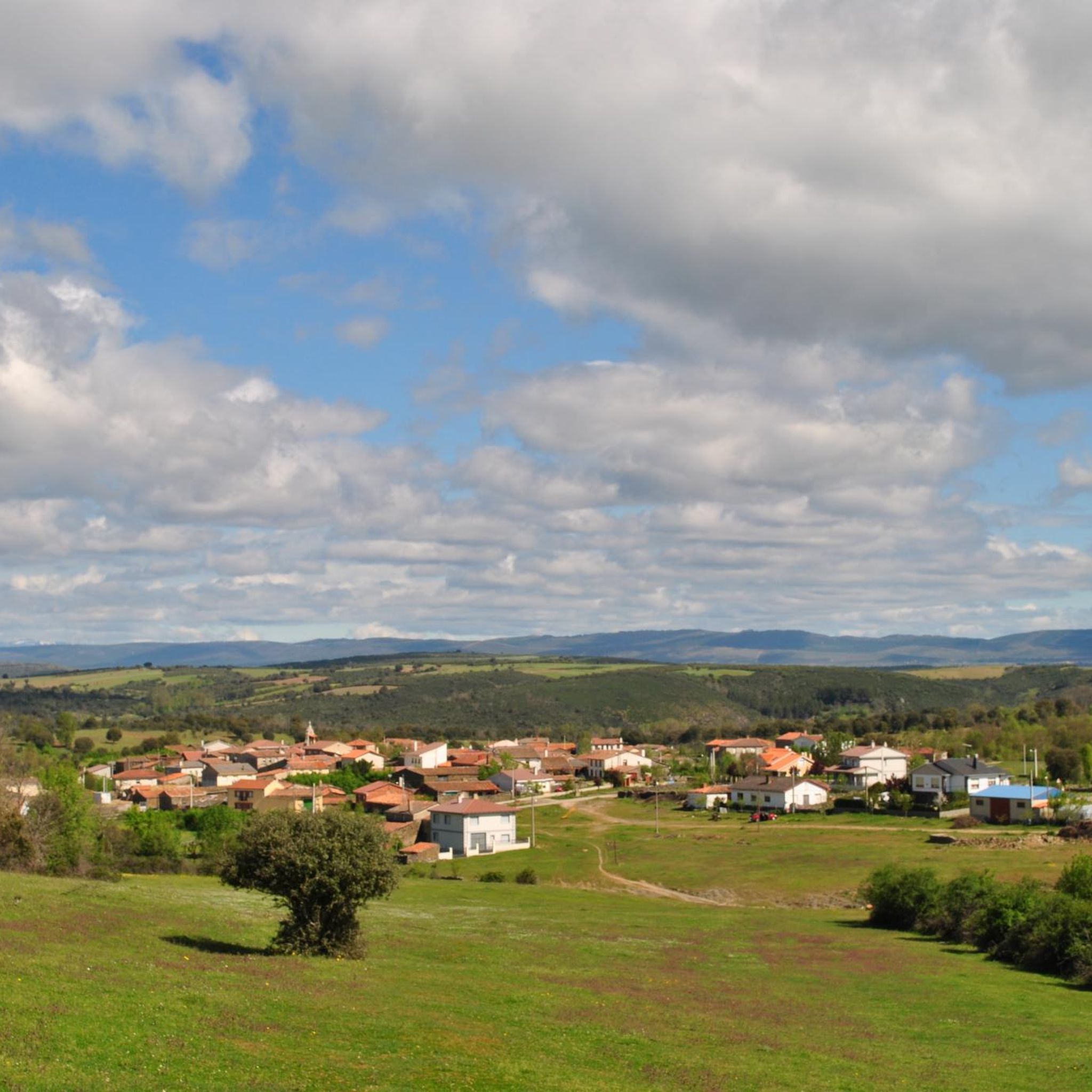
Rabanales is a small town located in the Aliste region with the typical traditional local architecture of masonry buildings.
1
1
Frequently Asked Questions
What kind of landscapes can I expect to see while hiking around Gallegos Del Río?
Hiking in Gallegos Del Río offers a blend of natural and traditional rural scenery. You'll primarily encounter picturesque riverine paths along the Aliste River, which has sculpted varied terrain including small gorges. The landscape is also dotted with traditional stone houses, old mills, and bridges, providing a glimpse into rural life. The area is rich in flora, with abundant mushrooms in autumn, and diverse fauna.
Are there any easy hiking trails suitable for beginners or families in Gallegos Del Río?
Yes, Gallegos Del Río offers easy trails suitable for beginners and families. For instance, the Alba Castle – Castle of Alba de Aliste loop from Los Milanos is an easy 6.9 km route, and the Abejera Shoeing Frame loop from Abejera is another easy option at 5.3 km. These routes provide a gentle introduction to the region's beautiful scenery.
What natural features or landmarks can I explore along the hiking routes?
Along the hiking routes, you can discover several interesting natural features and historical landmarks. The Aliste River in Vegalatrave is a prominent natural highlight. You can also visit historical sites like Alba Castle and Castro de Valdemera. For a unique natural spot, consider the Fidionda Spring.
Are there any circular walks available in the Gallegos Del Río area?
Yes, there are circular walks available. The Alba Castle – Castle of Alba de Aliste loop from Los Milanos is an easy circular route, as is the Abejera Shoeing Frame loop from Abejera. These loops are great for experiencing the local scenery without retracing your steps.
What is the best time of year to go hiking in Gallegos Del Río?
The region's rich flora, particularly the presence of mushrooms in autumn, suggests that autumn could be a particularly scenic time for hiking. However, the natural environment centered around the Aliste River makes it appealing for outdoor activities throughout much of the year, offering varied terrain and rich vegetation.
What kind of wildlife might I encounter on the trails?
The region boasts valuable fauna. While hiking, you might encounter various fish species, amphibians like the common toad and marbled newt, and a wide array of birds including bee-eaters, hoopoes, and various warblers. The Iberian wolf is also a prominent species in the wider area, though sightings are rare.
Are there any trails that showcase traditional rural architecture?
Many trails in the area will lead you through traditional rural scenery. The Route of the Corrals (PR-ZA 3), for example, leads through traditional rural scenery and offers river views. You can also find Traditional Stone Architecture of Rabanales as a highlight in a nearby village.
How many hiking routes are available in Gallegos Del Río?
There are 5 hiking routes available in Gallegos Del Río, catering to various fitness levels. These include easy, moderate, and difficult options, allowing hikers to choose based on their experience and preferences.
What is the longest moderate trail in the area?
The longest moderate trail in the area is the Route of the Corrals (PR-ZA 3). This route spans 14.8 km and typically takes about 4 hours to complete, offering extensive views of traditional rural scenery and the river.
Can I find trails that follow the Aliste River?
Yes, the Aliste River is central to the region's hiking experience. Many routes, such as the Rabanales Trail, wind through rural landscapes and showcase the characteristic riverine environment. The river's banks provide picturesque paths ideal for walking.
What is the typical duration for hikes in Gallegos Del Río?
Hikes in Gallegos Del Río vary in duration depending on the route and your pace. Easy trails like the Abejera Shoeing Frame loop from Abejera can be completed in about 1 hour 24 minutes, while longer moderate routes such as the Route of the Corrals (PR-ZA 3) may take around 4 hours.
Most popular attractions around Gallegos Del Río

Get inspired with the komoot mobile app


Explore more
Browse the best Hikes in other regions.
