The best walks and hikes around Salmorth
4.5
(7068)
34,906
hikers
1,543
hikes
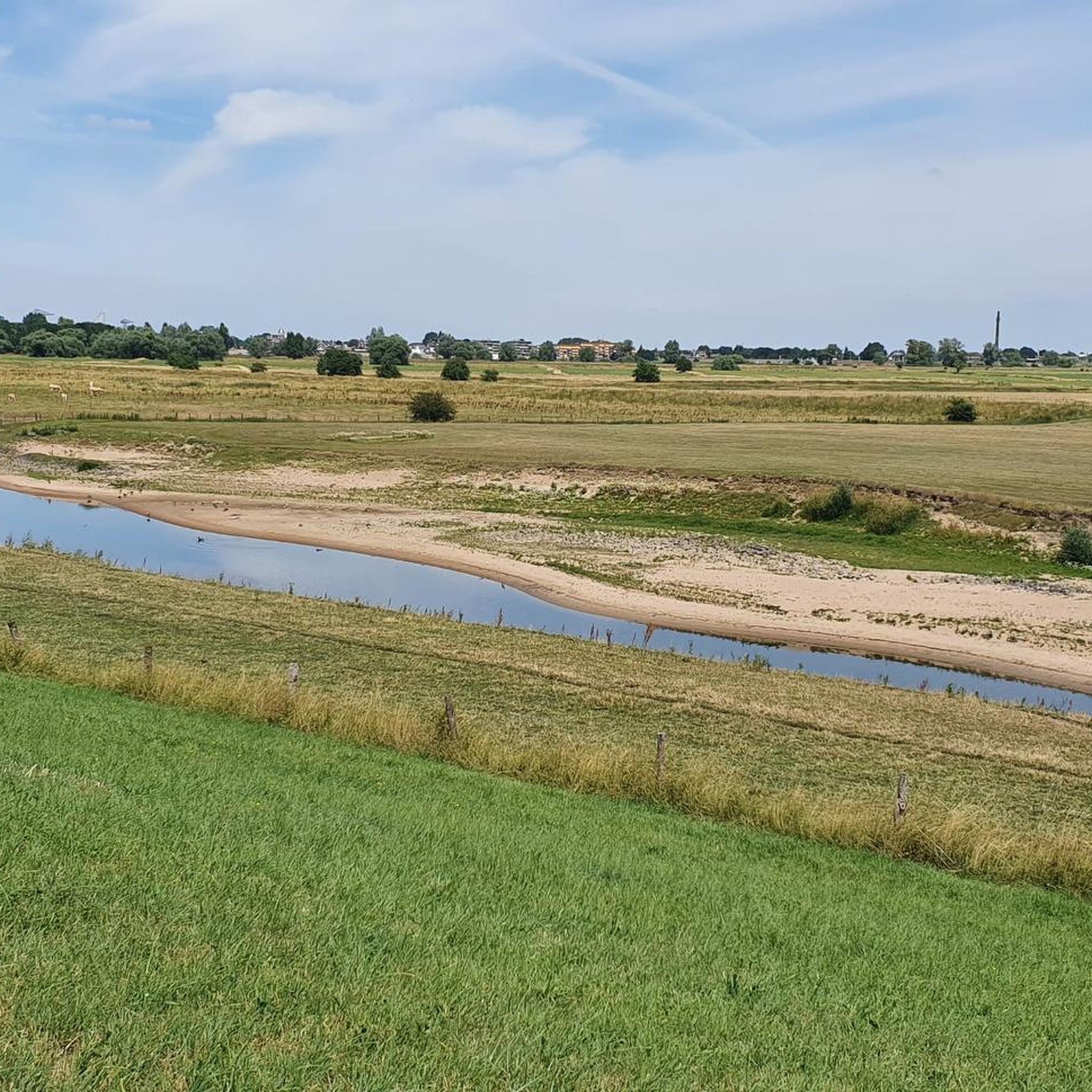
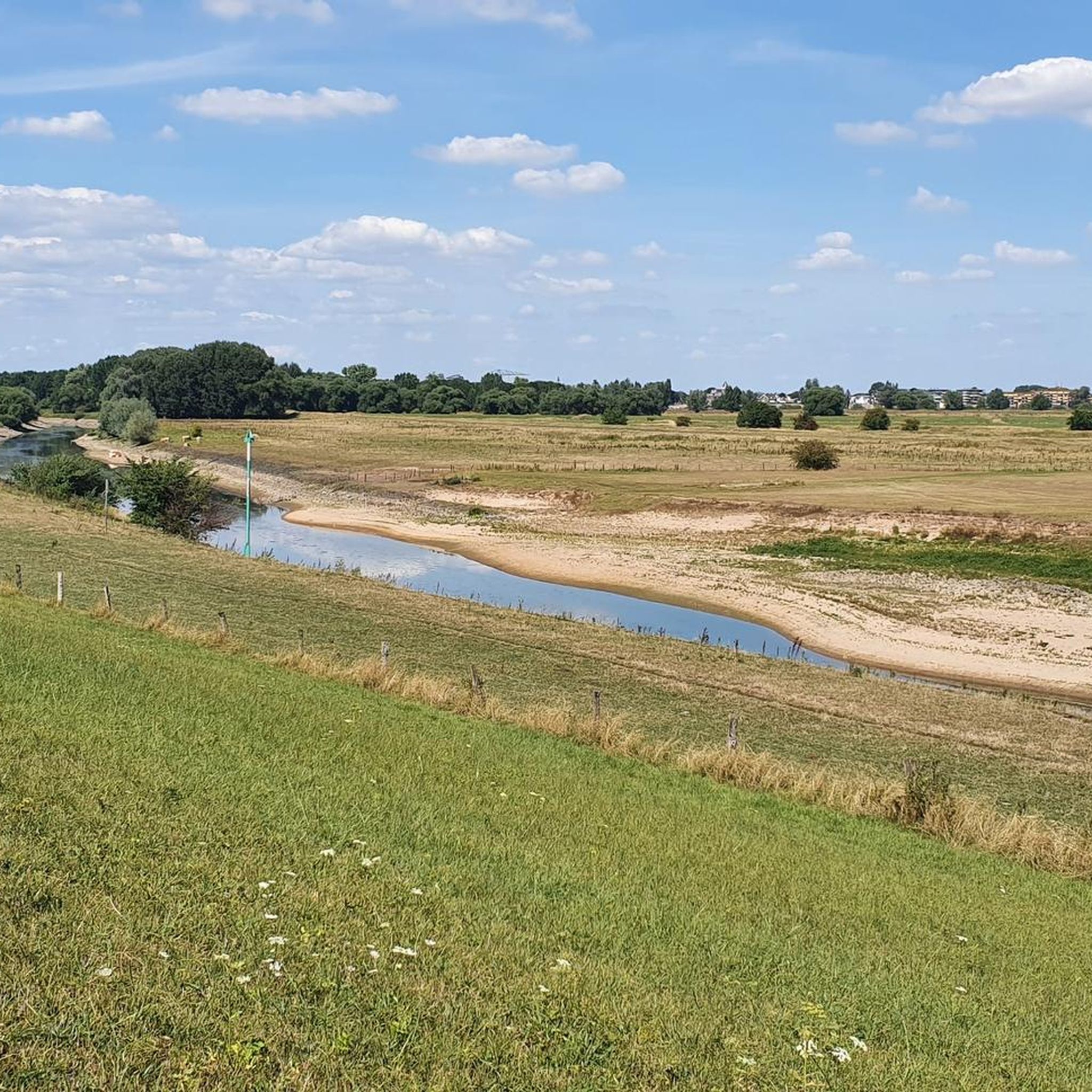
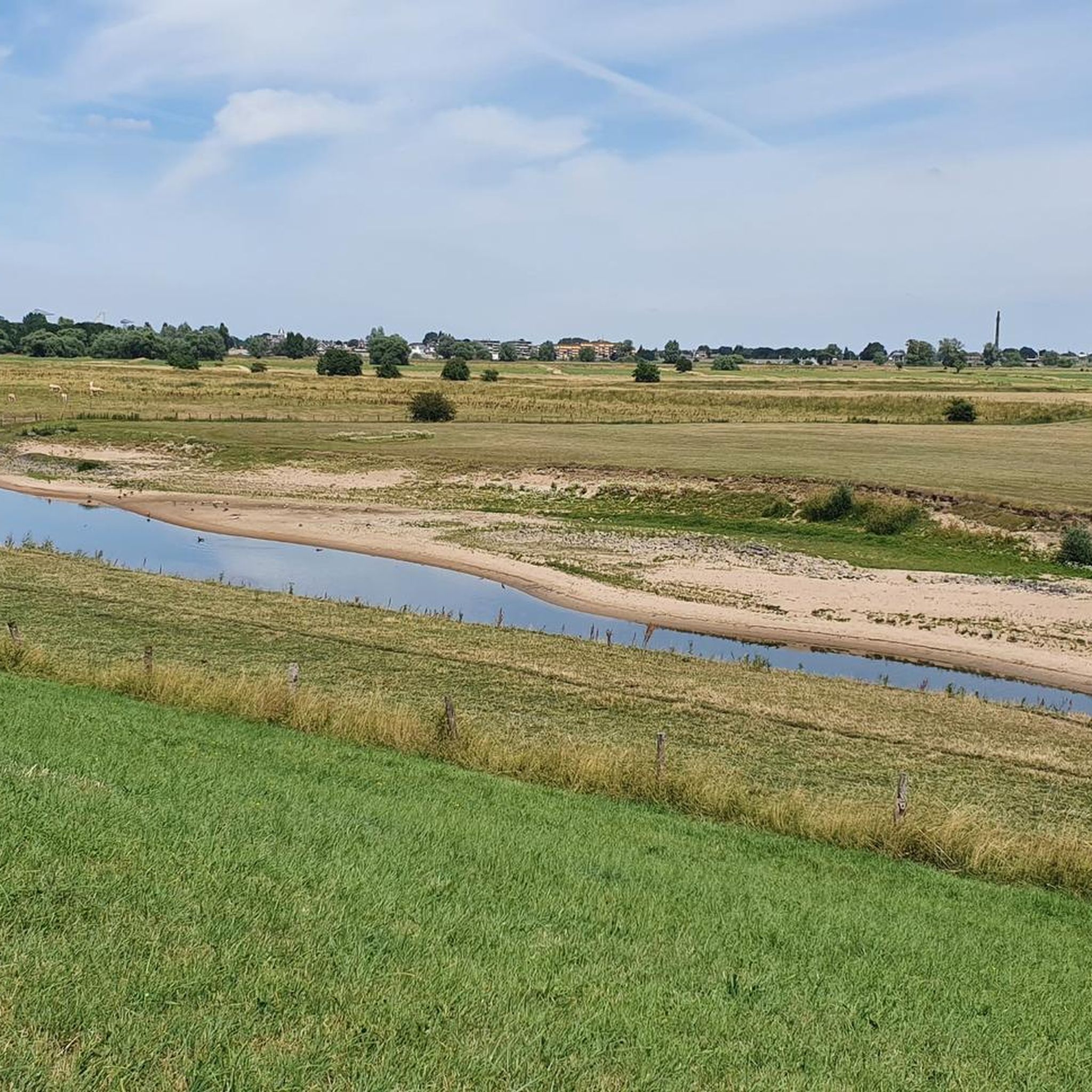
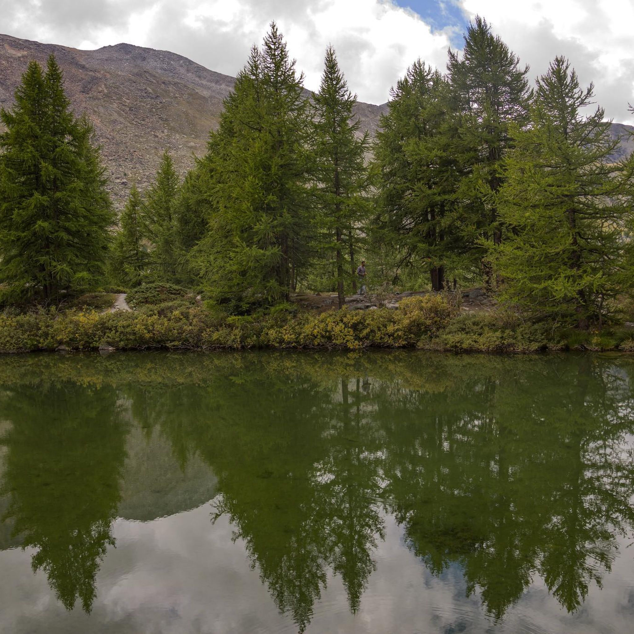
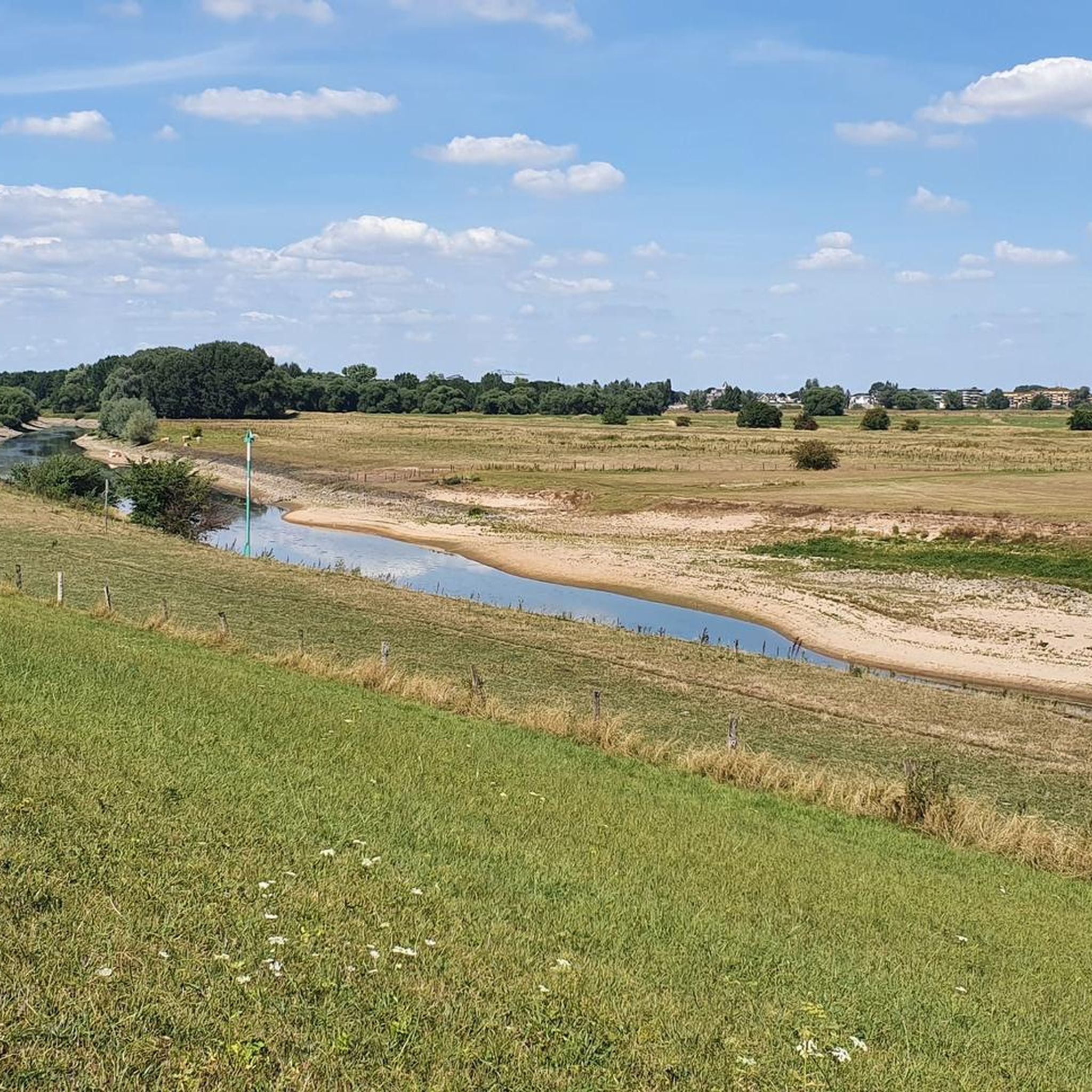
Hiking around Salmorth is characterized by its flat, riverine landscapes and numerous water features. The region, part of Kreis Kleve, offers trails that often follow the Rhine and its tributaries, passing by ponds and open fields. Elevation changes are minimal, making many routes accessible for various fitness levels. This area provides opportunities for tranquil walks through natural floodplains and along historic waterways.
Best hiking trails around Salmorth
- The most popular hiking route is Dog Beach Salmorth – War Memorial Schenkenschanz…
Last updated: July 8, 2026
4.5
(62)
182
hikers
Moderate hike. Good fitness required. Easily-accessible paths. Suitable for all skill levels.
4.6
(38)
230
hikers
15.4km
03:53
30m
30m
Moderate hike. Good fitness required. Easily-accessible paths. Suitable for all skill levels.

Sign up for free
4.4
(8)
38
hikers
7.54km
01:54
10m
10m
Easy hike. Great for any fitness level. Easily-accessible paths. Suitable for all skill levels.
5.0
(3)
19
hikers
8.59km
02:16
80m
80m
Moderate hike. Good fitness required. Easily-accessible paths. Suitable for all skill levels.
4.8
(8)
22
hikers
Moderate hike. Good fitness required. Easily-accessible paths. Suitable for all skill levels.
Get access to more routes and recommendations from other explorers.
Sign up for free
Already have an account?
Our route recommendations are based on thousands of hikes, rides, and runs completed by other people on komoot.
Start today with a free account
Your next adventure awaits.
Login or Signup
Tips from the Community

You can sunbathe here undisturbed. But please do not go into the water. This is life-threatening.
0
0

A stand with seating.
1
0
Here are cows and horses roaming freely.
1
0

Landhaus Forstgarten is a cozy restaurant with an outdoor terrace, located between the zoo and the Forstgarten (Joseph-Beuys-Allee 1 in Kleve). Opening hours: Tuesday-Saturday 11:00 AM - 10:00 PM and Sunday 9:00 AM - 10:00 PM
5
0

Johanna Sebus (1791–1809) came from Brienen near Kleve. During a dike breach caused by a Rhine flood in 1809, she first rescued her mother from the raging waters. In an attempt to save more lives, she ultimately lost her own. Three months later, when her body was found, the then sub-prefect of Kleve, Baron Karl Ludwig von Keverberg (1768–1841), initiated the construction of a monument. The French occupation government in the Rhineland approved the proposal and had a monument erected in 1811. At the same time, Johanna Sebus was posthumously awarded the "White Rose", an honor established by Napoleon, which was to be awarded annually in all parts of the French dominion to a particularly virtuous maiden. Johanna Sebus soon became a figure of collective memory in literature and music: Johann Wolfgang von Goethe dedicated a ballad to her, and Franz Schubert created a – albeit unfinished – musical setting of this poem. In the 20th century, the musician and painter Béla Lajos (1929-2016) composed an opera for Johanna Sebus. On the occasion of the 175th anniversary of her death, a Johanna Sebus Medal was established in 1984, awarded to individuals or institutions for "help in times of need". Architectural Description The form of the memorial stems from the almost decoration-less repertoire of a Classicism that predominantly operated with stereometric elementary forms. The over-human-height, semi-circularly terminating stele made of bluestone stands on a stepped cornice base and is backed by a semicircular stone bench. The front of the monument bears an inscription in French, above which is an inlaid medallion of white marble depicting a floating rose surrounded by twelve stars. The German translation of the French inscription on the back dates from 1953. It reads: "In memory of the seventeen-year-old, beautiful, and good maiden from the village of Brienen, who perished on January 13, 1809, while rendering aid during the ice drift on the Rhine and the great breach of the Cleverhamm dike." The Johanna Sebus Monument is owned by the state of North Rhine-Westphalia and administered by the Düsseldorf District Government... (Fabian Kröning, Art History Institute of the University of Cologne, 2016) https://www.kuladig.de/Objektansicht/KLD-298086
1
0
"The Cheese Museum at Gut Hogefeld - Drususdeich 201, 47533 Kleve Cheese was already being produced on the Lower Rhine in the 15th century. Over time, however, the knowledge of cheesemaking was lost, and cheese had to be expensively imported from the Dutch. It all began at Gut Hogefeld in 1825. Here, not only was the foundation laid for cheese production on the Lower Rhine, but also for the development of the Lower Rhine into one of the most important dairy regions in North Rhine-Westphalia. Credit for this belongs to Maria Reymer, a farmer's daughter from Kleve-Rindern, and her agriculturally and commercially astute father, the dike reeve Theodor Reymer. Since Theodor Reymer didn't believe the rumor that only milk from Dutch cows was suitable for cheesemaking, he sent his daughter Maria to relatives in Etten, Netherlands." A year later, Maria returned rich in knowledge and established the first farmstead cheese dairy on the Lower Rhine at the Hogefeld estate. Production of Lower Rhine semi-hard cheese in the Dutch style began as early as May 11, 1825. By the end of 1825, 4,300 pounds of cheese had been produced from the milk of ten cows, and it sold like hotcakes. This, however, aroused the suspicion of the Prussian Main Customs Office in Kranenburg. Only after a tireless struggle with the authorities was Theodor Reymer granted freedom of trade on January 1, 1827. Maria and Theodor Reymer readily shared their knowledge, and thus farmstead cheese dairies and later numerous large-scale dairies sprang up all over the Lower Rhine. https://www.niederrhein-tourismus.de/attraktion/das-kaesemuseum-auf-gut-hogefeld-7a5282564a
0
0
"Rindernsche Kolke Nature Reserve Lena Wiest is the reserve warden for this small nature reserve, which borders the city of Kleve to the northwest and was named "RiKos" by our NABU (Nature and Biodiversity Conservation Union) station. Here she explains why she has taken the area to heart. What makes the Rindernsche Kolke special for you? The Rindernsche Kolke are a pocket-sized natural mosaic, just a few steps from my front door in Kleve… With its many diverse habitats and numerous small bodies of water in a very small area, it is a fascinating area. This structurally rich and idyllic cultural landscape, which is also maintained through grazing, provides a home for numerous wild animals. If you walk as quietly as possible along the Drususdeich dike in winter, you might be lucky enough to observe the typical visitors of the Lower Rhine up close. With a bit more luck, you might even spot a rarity like the wood sandpiper or little grebe among the flocks of greater white-fronted, greylag, and Canada geese. In spring, you can wander through a verdant tunnel, serenaded by the morning chorus of blackbirds, tits, and other birds. The well-camouflaged reed warbler calls loudly from the reeds, and ducks frolic on the easily visible ponds, while calves romp in the pasture. Throughout the year, you can admire the distinctive shapes of the pollarded willows. These are not only visually striking but also provide a habitat for numerous animals. Their spherical form is created by the regular pruning of the shoots. Over time, fungal growth creates cavities in the trunk. These serve as habitats for various beetle species and other insects, and are used by cavity-nesting birds such as the little owl and small mammals. Throughout the year, you can admire the unique shapes of the pollarded willows. These are not only visually appealing but also provide a habitat for many animals. With its proximity to the city and a well-maintained path offering many beautiful views, it is also suitable for people with physical limitations to relax, enjoy, and explore. https://www.nabu-naturschutzstation.de/schutzgebiete/naturschutzgebiet-rindernsche-kolke/
0
0
Frequently Asked Questions
How many hiking trails are available in Salmorth?
Salmorth offers a wide variety of hiking experiences, with over 1,400 routes recorded on komoot. This includes more than 1,000 easy trails, 400 moderate routes, and a smaller selection of challenging paths.
Are there easy hiking trails suitable for families in Salmorth?
Yes, Salmorth is known for its flat, riverine landscapes, making many trails ideal for families. Over 1,000 easy routes are available. A great option is the Path Along the Kolke Ponds – Johanna Sebus Memorial loop from Brienen, which is 4.7 miles (7.5 km) and leads through tranquil pond areas.
Can I bring my dog on the hiking trails in Salmorth?
Many trails in Salmorth are suitable for dogs, especially given the open landscapes and river paths. The Dog Beach Salmorth – War Memorial Schenkenschanz loop from Griethausen is a popular choice, as its name suggests, offering a dedicated area for dogs.
Are there many circular hiking routes in Salmorth?
Yes, the majority of hiking routes in Salmorth are designed as circular paths, allowing you to start and end at the same point. This makes planning your hike convenient, whether you're looking for a short stroll or a longer excursion.
What kind of views can I expect on hikes around Salmorth?
Hikes in Salmorth primarily offer expansive views of the flat, riverine landscapes, including the Rhine and its tributaries, numerous ponds, and open fields. Routes like the View of Hoog Elten – View of Lobith loop from Tolkamer provide particularly broad vistas across the waterways near the Dutch border.
What are some interesting landmarks or attractions to see along the trails?
Salmorth's trails often pass by historical and natural points of interest. You can explore the impressive Griethausen Railway Bridge, the historic Brienen Lock, or the scenic Griethauser Altrhein. The Stone Cairn Paradise – Kurhaus Museum Kleve loop from Rindern also takes you near cultural sites.
What do other hikers enjoy most about Salmorth?
The area is highly rated by the komoot community, with an average score of 4.5 stars from over 6,000 reviews. Hikers often praise the tranquil nature of the flat riverine paths, the scenic water features, and the accessibility of routes for various fitness levels.
Are there any specific trails that highlight the region's water features?
Absolutely. The region is defined by its water features. The Path Along the Kolke Ponds – Johanna Sebus Memorial loop from Brienen is an excellent choice, leading directly through areas with numerous ponds. Many routes also follow the Rhine and its tributaries, offering continuous water views.
What is the best time of year to hike in Salmorth?
Given the flat terrain and riverine environment, Salmorth is generally pleasant for hiking from spring through autumn. Spring brings blooming nature, while autumn offers beautiful colors. Summer is also enjoyable, especially along the water, but be prepared for sun exposure in open areas.
Are there options for longer, more challenging hikes in Salmorth?
While Salmorth is known for its gentle terrain, there are longer routes that offer a more extended experience. For example, the Griethausen Railway Bridge – Düffelt Store loop from Schenkenschanz covers nearly 15 km, providing a moderate challenge through varied landscapes.
Is public transport available to reach hiking trailheads in Salmorth?
Public transport options in the Salmorth area can be limited, especially for reaching specific, remote trailheads. It's advisable to check local bus schedules for connections to towns like Griethausen, Brienen, or Schenkenschanz, which serve as starting points for some routes. Driving and parking are often the most convenient ways to access many trails.
Where can I find parking when hiking in Salmorth?
Parking is typically available in or near the villages and towns that serve as starting points for hikes, such as Griethausen, Brienen, Rindern, or Schenkenschanz. Look for designated parking areas or roadside parking where permitted. Always ensure you park responsibly and do not obstruct local access.
Most popular routes around Salmorth
Most popular attractions around Salmorth

Get inspired with the komoot mobile app


Explore more
Browse the best Hikes in other regions.
