The best road cycling routes around Mogarraz
5.0
(8)
801
riders
39
rides
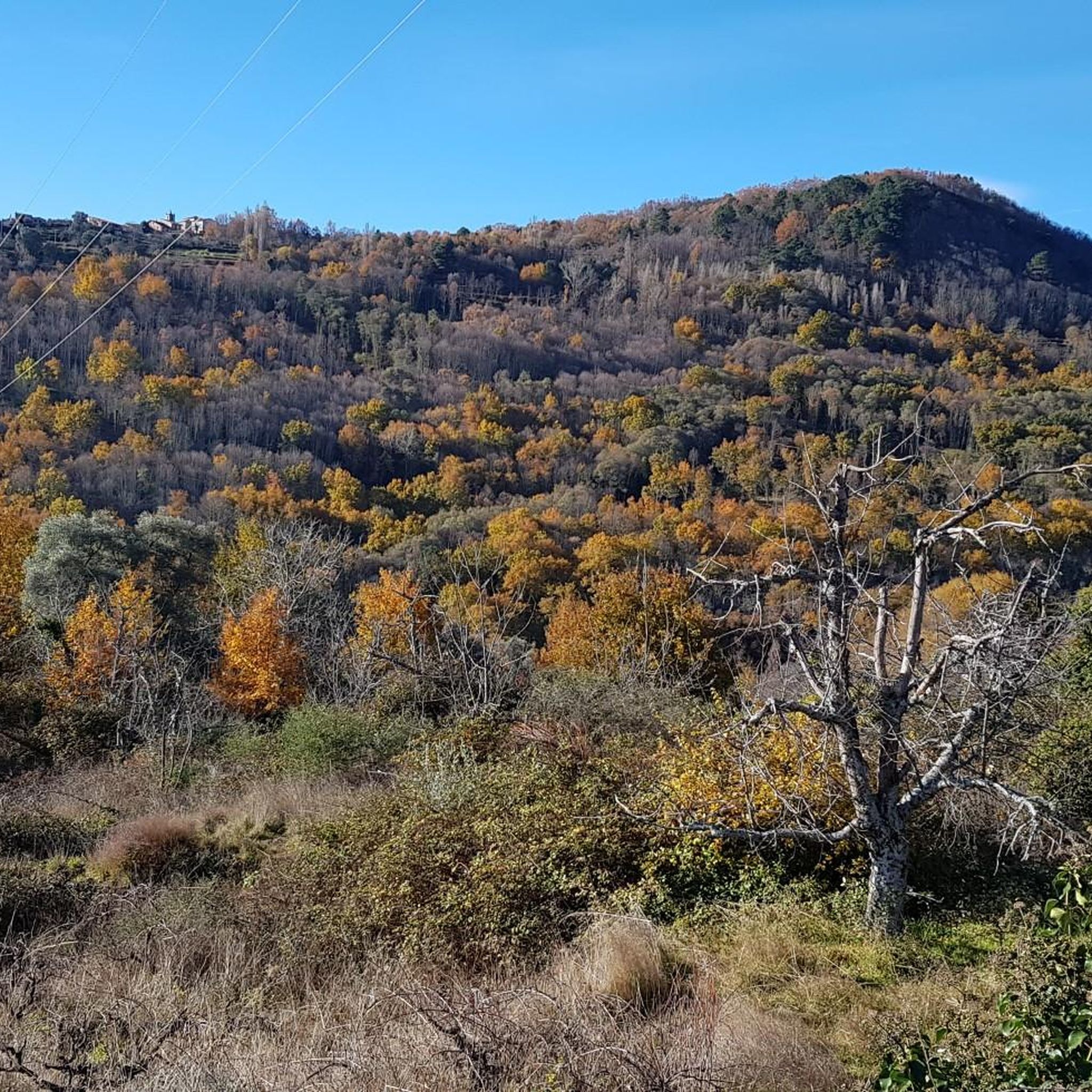
Road cycling routes around Mogarraz are characterized by the mountainous terrain of the Sierra de Francia Natural Park, featuring significant elevation changes and winding roads. The region includes notable passes and viewpoints, offering challenging climbs and descents. Road cyclists can expect a landscape composed of dense woodlands, rocky outcrops, and open vistas. The area provides a network of routes suitable for experienced riders seeking demanding ascents.
Best road cycling routes around Mogarraz
- The most popular road cycling route is Alberca…
Last updated: July 15, 2026
31
riders
Hard road ride. Very good fitness required. Mostly well-paved surfaces and easy to ride.
5.0
(1)
111
riders
84.4km
04:43
1,850m
1,850m
Hard road ride. Very good fitness required. Some segments of this route may be unpaved and difficult to ride.

Sign up for free
5.0
(1)
89
riders
136km
07:39
3,050m
3,050m
Hard road ride. Very good fitness required. Some segments of this route may be unpaved and difficult to ride.
5.0
(1)
55
riders
51.7km
02:55
1,130m
1,130m
Hard road ride. Very good fitness required. Some segments of this route may be unpaved and difficult to ride.
59
riders
46.1km
02:36
1,010m
1,010m
Hard road ride. Very good fitness required. Some segments of this route may be unpaved and difficult to ride.
Get access to more routes and recommendations from other explorers.
Sign up for free
Already have an account?
Our route recommendations are based on thousands of hikes, rides, and runs completed by other people on komoot.
Start today with a free account
Your next adventure awaits.
Login or Signup

Tips from the Community

At the village's social meeting point, the Plaza Mayor with its arcades, stands a beautiful granite pilgrim's cross.
11
0
Beautiful top with views and a restaurant run by modern monks.
0
0
Beautiful view here, now the last stretch to the top with 200 altitude meters to go.
0
0
Really such a top that stands out with over 1700 meters, offering a beautiful view all around.
12
0

It offers spectacular views over the Sierra de Francia, the Sierra de Béjar, the Campo Charro region, northern Cáceres, and even the Serra da Estrela in Portugal. You can drive up via the SA-203 road (from La Alberca or El Cabaco), although it is often closed due to snow in winter. There are also hiking trails, such as the GR-10, starting from La Alberca.
5
0
La Peña de Francia is one of the most emblematic places in the province of Salamanca, located in the Las Batuecas-Sierra de Francia Natural Park, within the municipality of El Cabaco, about 81 km from Salamanca and near La Alberca.
4
0

There was a fire not long ago, but it's still spectacular, a WOW little road!
0
0
A scenic road that surrounds the Peña de Francia mountain range through Las Hurdes, with spectacular views on both sides. A steep descent ends at a river where you can take a dip and a series of picturesque villages until you reach Las Mestas.
0
0
Frequently Asked Questions
What kind of terrain can I expect when road cycling around Mogarraz?
Road cycling routes around Mogarraz are primarily characterized by the mountainous terrain of the Sierra de Francia Natural Park. You'll encounter significant elevation changes, winding roads, challenging climbs, and descents through dense woodlands, rocky outcrops, and open vistas.
Are there many challenging road cycling routes in the Mogarraz area?
Yes, the Mogarraz area is well-known for its challenging road cycling routes. Out of the 33 available routes, 24 are classified as difficult, offering demanding ascents and significant elevation gains. An example is the Portillo Viewpoint – Ascent to Peña de Francia loop from Cepeda, which features over 1,800 meters of elevation gain.
Are there any easy or beginner-friendly road cycling routes near Mogarraz?
The road cycling routes around Mogarraz are predominantly designed for experienced riders due to the mountainous terrain. There are no routes classified as easy, and only 9 are considered moderate. Most routes involve significant climbs and descents, making them more suitable for intermediate to advanced cyclists.
What are the typical distances and durations for road cycling routes in Mogarraz?
Routes vary in length and duration, but many are substantial. For instance, the popular Alberca y Puerto del El Portillo - Batuercas-Sierra de Francia Natural Park — circular from Cepeda is 62 km (38.5 miles) and typically takes around 3 hours 29 minutes. Longer routes, like Las Hurdes, El Portillo – Portillo Viewpoint loop from Cepeda, can extend over 105 km (65 miles) and take more than 5 hours.
Are there circular road cycling routes available around Mogarraz?
Yes, many of the road cycling routes in the Mogarraz area are circular, allowing you to start and end in the same location. Popular examples include the Alberca y Puerto del El Portillo - Batuercas-Sierra de Francia Natural Park — circular from Cepeda and the Los Lobos Pass (1,499 m) – Ascent to Peña de Francia loop from La Alberca.
What kind of scenic viewpoints can I expect along the road cycling routes?
The routes around Mogarraz offer numerous panoramic viewpoints due to the mountainous terrain. You can expect stunning vistas of the Sierra de Francia Natural Park. Notable viewpoints and peaks include the Ascent to Peña de Francia, Cervero Peak, and Peña Huevo.
What do other road cyclists say about the routes in Mogarraz?
The road cycling routes in Mogarraz are highly rated by the komoot community, with an average score of 5.0 stars from over 7 reviews. More than 600 road cyclists have used komoot to explore the varied terrain, often praising the challenging climbs, scenic beauty, and well-maintained roads through the natural park.
What are some interesting natural attractions or landmarks to see while road cycling in Mogarraz?
Beyond the stunning landscapes, you can encounter several natural monuments and peaks. Highlights include the Cervero Peak, the serene San Marcos Lagoon, and the historic Soto Bridge - Alagón River. The iconic Sanctuary of Our Lady of the Peña de Francia is also a significant landmark often included in routes.
Is road cycling in Mogarraz suitable for families with children?
Given the significant elevation changes and the classification of most routes as difficult, road cycling in Mogarraz is generally not recommended for families with young children or those seeking very easy, flat rides. The terrain is more suited for experienced cyclists looking for a challenge.
What is the best time of year for road biking in Mogarraz?
The mountainous nature of the Sierra de Francia Natural Park means that spring and autumn generally offer the most pleasant conditions for road cycling, with milder temperatures and beautiful scenery. Summers can be hot, and winters may bring colder temperatures and potentially snow at higher elevations, especially around passes like Los Lobos Pass.
Are there specific starting points or trailheads for road cycling routes in Mogarraz?
Many popular road cycling routes in the area often start from towns like Cepeda or La Alberca. These villages serve as convenient hubs for accessing the network of roads that wind through the Sierra de Francia Natural Park.
How many road cycling routes are available in the Mogarraz region?
There are over 30 road cycling routes available for exploration in the Mogarraz region, offering a wide range of options for cyclists seeking to experience the mountainous terrain of the Sierra de Francia Natural Park.
Most popular routes around Mogarraz
Most popular attractions around Mogarraz

Get inspired with the komoot mobile app


Explore more
Browse the best Road cycling routes in other regions.
