The best running trails around Villatuerta
4.0
(11)
935
runners
11
runs
Jogging routes around Villatuerta offer a diverse natural landscape for runners, characterized by a mix of forests, cultivated fields, and elevated points. The region features pine groves and woodlands, providing shaded paths and varied terrain. Several trails lead to scenic viewpoints, while others pass by ponds and the historic Romanesque bridge over the River Iranzu. The municipality has established a network of well-marked trails originating from the urban center, catering to different preferences and fitness levels.
Best jogging routes around…
Last updated: October 15, 2026
22
runners
8.83km
00:57
80m
80m
Moderate run. Good fitness required. Mostly paved surfaces.
8
runners
8.49km
01:08
260m
260m
Moderate run. Good fitness required. Mostly paved surfaces.

5.0
(1)
5
runners
6.27km
00:40
80m
80m
Moderate run. Good fitness required. Mostly paved surfaces.
7
runners
8.29km
01:05
240m
240m
Moderate run. Good fitness required. Mostly paved surfaces.
13
runners
18.6km
02:00
110m
110m
Hard run. Very good fitness required. Mostly paved surfaces.
Get access to more routes and recommendations from other explorers.
Already have an account?
Our route recommendations are based on thousands of hikes, rides, and runs completed by other people on komoot.
Start today with a free account
Your next adventure awaits.

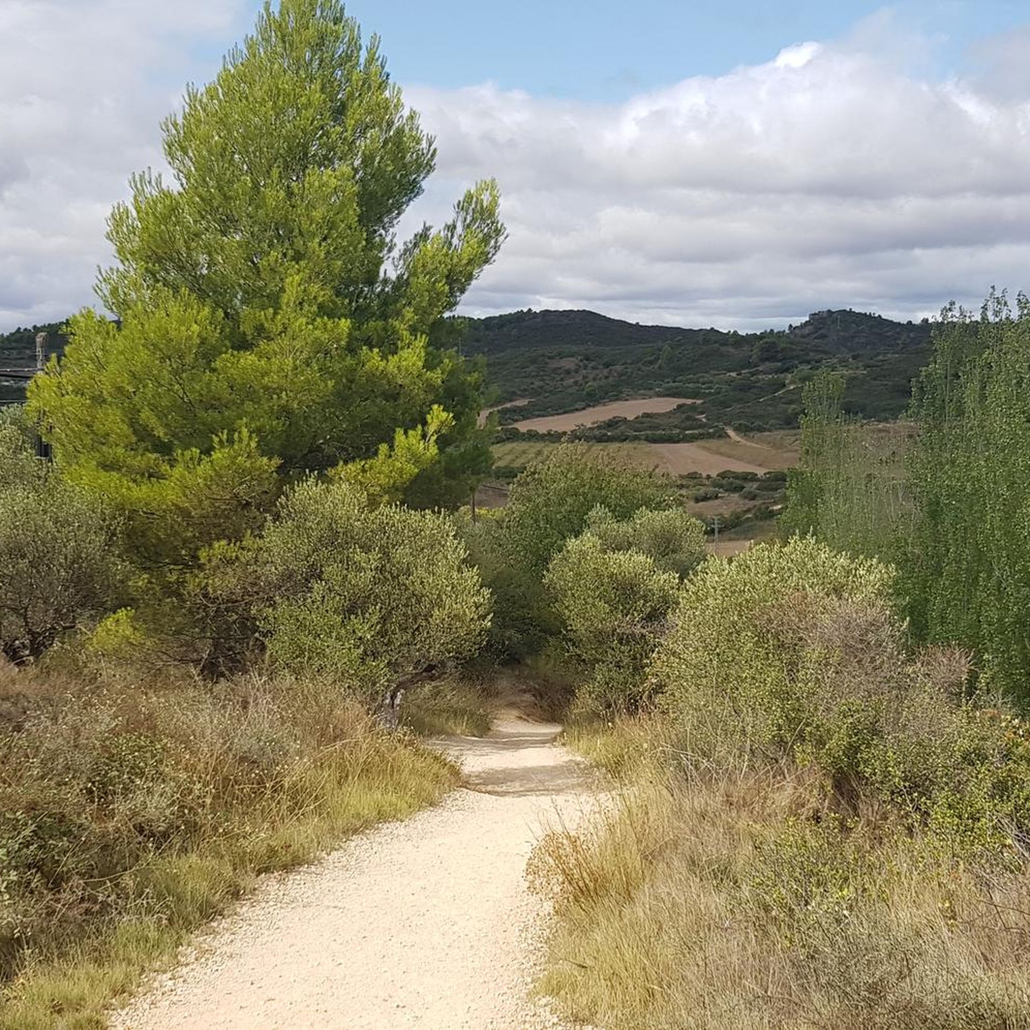

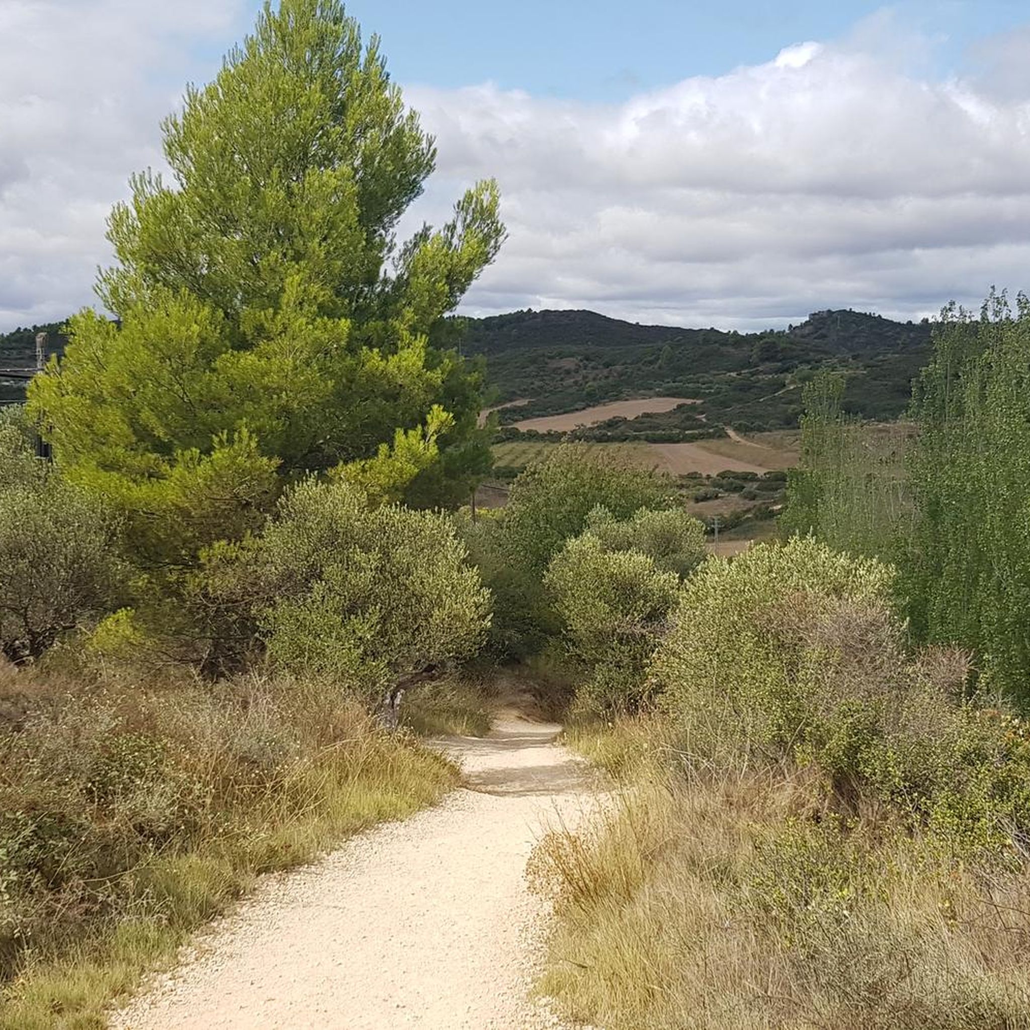
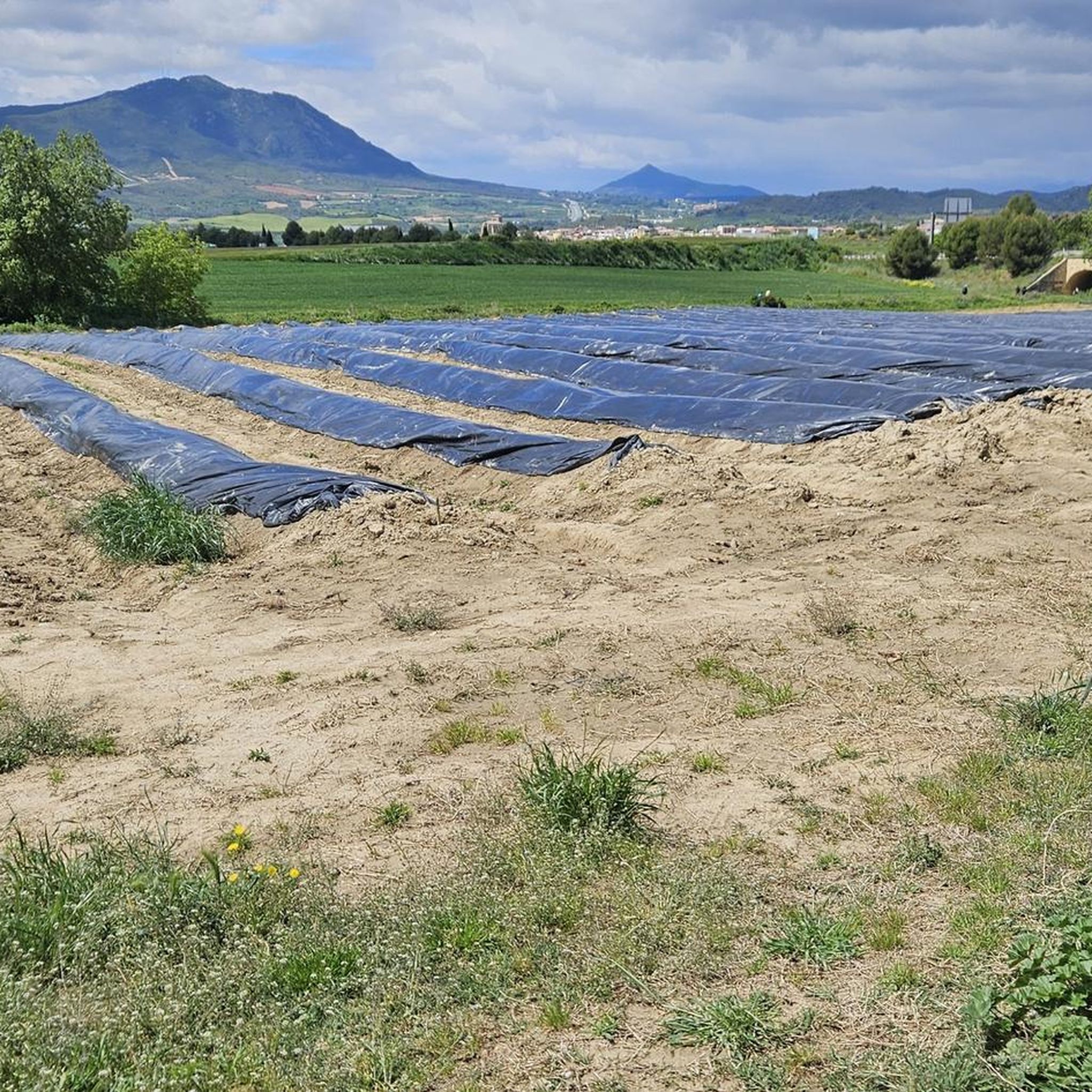
Tips from the Community

A fountain in what looks like an old variant of the Camino de Santiago
0
0
Frequently Asked Questions
How many running routes are available around Villatuerta?
Villatuerta offers a network of 11 diverse running routes, catering to various preferences and fitness levels. These trails are well-marked and originate from the urban center, providing easy access to the region's natural beauty.
Are there any easy or beginner-friendly jogging routes in Villatuerta?
While most routes are classified as moderate, the region's trails offer varied terrain suitable for different abilities. For a relatively shorter and less strenuous option, the Running loop from Villatuerta is a 3.9-mile (6.3 km) trail that takes about 40 minutes to complete, winding through local woodlands.
What kind of landscapes can I expect to see while running in Villatuerta?
Jogging in Villatuerta offers a diverse natural landscape. You'll encounter a mix of 'bosques de cascaja y campos de siembra' (gravel forests and cultivated fields), dense pine forests like the Bosque de Muskilda, and paths that lead to elevated points with spectacular panoramic views, such as those found on the Cruz de Mauriain trail. Some routes also pass by ponds and the historic Romanesque bridge over the River Iranzu.
Are there any circular running routes in Villatuerta?
Yes, several routes in Villatuerta are circular, offering convenient loops back to your starting point. For example, the Estella-Lizarra – Drinking Water Fountain loop from Villatuerta is a popular 5.2-mile (8.4 km) option, and the Fuerte de San Juan loop from Villatuerta provides a moderate 5.3-mile (8.5 km) path with elevation gain.
What historical or natural attractions can I see along the running trails?
Villatuerta's trails often lead past interesting landmarks. You can explore the remains of the Princess's Fort (built in 1875) on the extensive Reducto liberal de la Princesa de Asturias trail. The area also features the historic Puente la Reina Romanesque Bridge over the River Iranzu, and the Irache Fountain. For panoramic views, routes like Cruz de Mauriain are ideal.
What do other runners enjoy most about jogging in Villatuerta?
The running routes in Villatuerta are highly rated by the komoot community, with an average score of 3.8 stars from over 9 reviews. Runners frequently praise the diverse terrain, the peaceful pine forests, and the well-marked paths that offer a variety of experiences, from cultivated fields to scenic viewpoints.
Are there any running routes that offer great viewpoints?
Absolutely. Several trails in Villatuerta lead to elevated points that provide spectacular panoramic views of the surrounding landscape. The Cruz de Mauriain trail, a 9.1-kilometer circular path, is specifically noted for its impressive vistas from its highest points. Additionally, the Fuerte de San Juan loop from Villatuerta also offers some elevation gain leading to scenic outlooks.
Are the running trails in Villatuerta suitable for families?
Villatuerta offers a range of trails, some of which are shorter and less challenging, making them suitable for families. The Sendero de la repoblación, a 2.5-kilometer circular trail through a large pine forest, could be a good option for a family outing. Always check the specific route details for distance and elevation to ensure it matches your family's fitness level.
What is the longest running route available in Villatuerta?
For those seeking a longer challenge, the Estella-Lizarra – Irache Fountain loop from Villatuerta is a difficult 30.5-mile (49.1 km) route with significant elevation gain, making it the most extensive option for experienced runners.
Is there parking available near the jogging routes in Villatuerta?
The municipality has established a network of seven trails that originate directly from the urban center of Villatuerta, making them easily accessible. While specific parking areas for each trail are not detailed, starting from the town center generally implies access to local parking facilities.
What is the best season for jogging in Villatuerta?
Villatuerta's diverse terrain, including shaded forests and open fields, makes it suitable for jogging across different seasons. Pine groves offer cooler paths in warmer months, while the varied landscapes provide beautiful scenery year-round. It's always advisable to check local weather conditions before heading out, especially for summer heat or winter chill.
Can I find trails that pass through forests or woodlands?
Yes, Villatuerta is known for its forests and woodlands. The Bosque de Muskilda (Muskilda Forest) offers a 4.5-kilometer circular route specifically through this area, providing shaded paths and a refreshing natural environment. The Running loop from Villatuerta also leads through local woodlands.
Most popular routes around Villatuerta
Most popular attractions around Villatuerta

Get inspired with the komoot mobile app


Explore more
Browse the best Running Trails & Routes in other regions.
