The best running trails around Camprovín
213
runners
27
runs
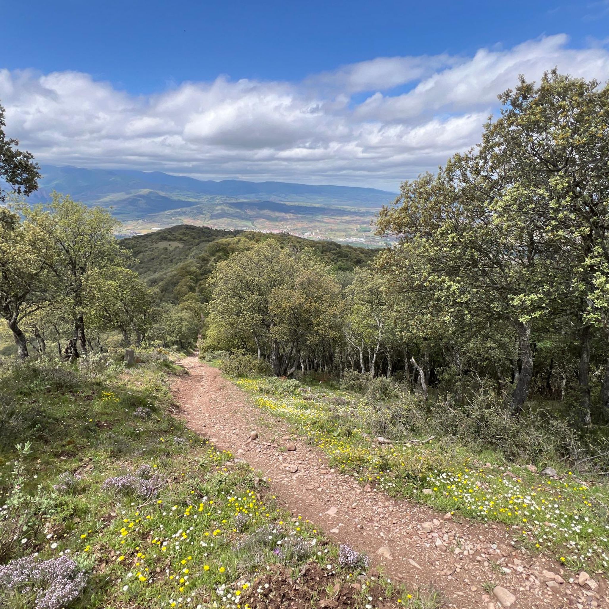
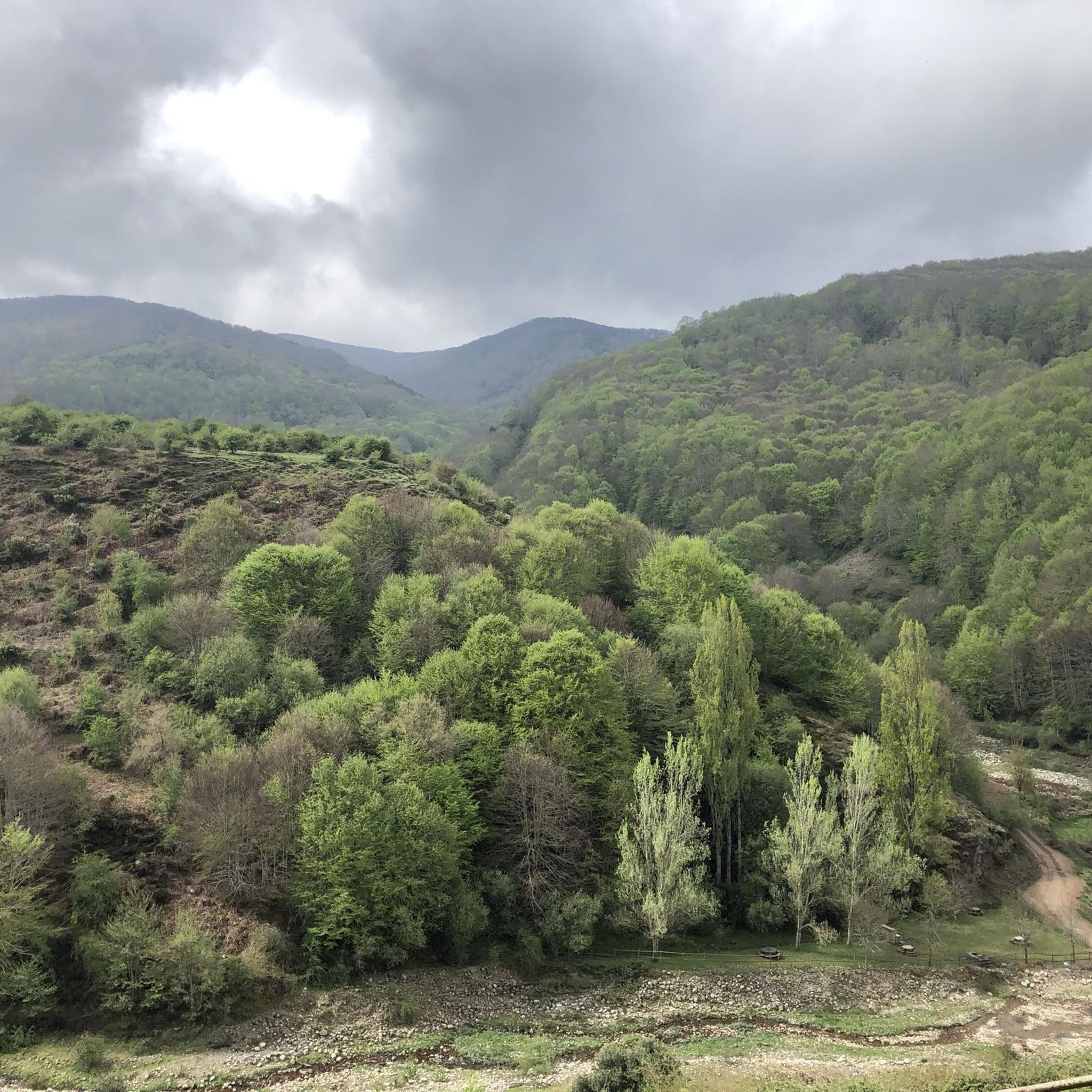
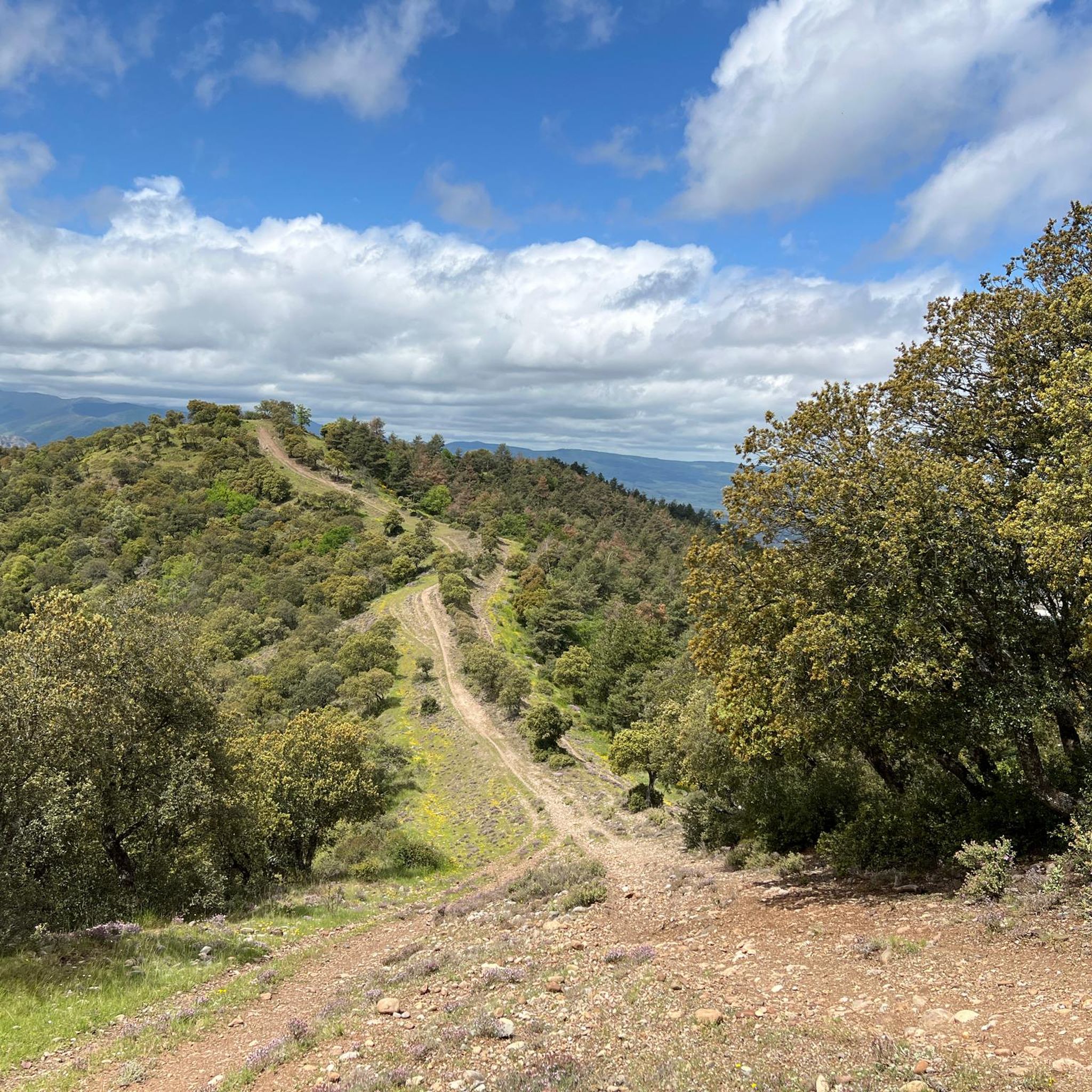
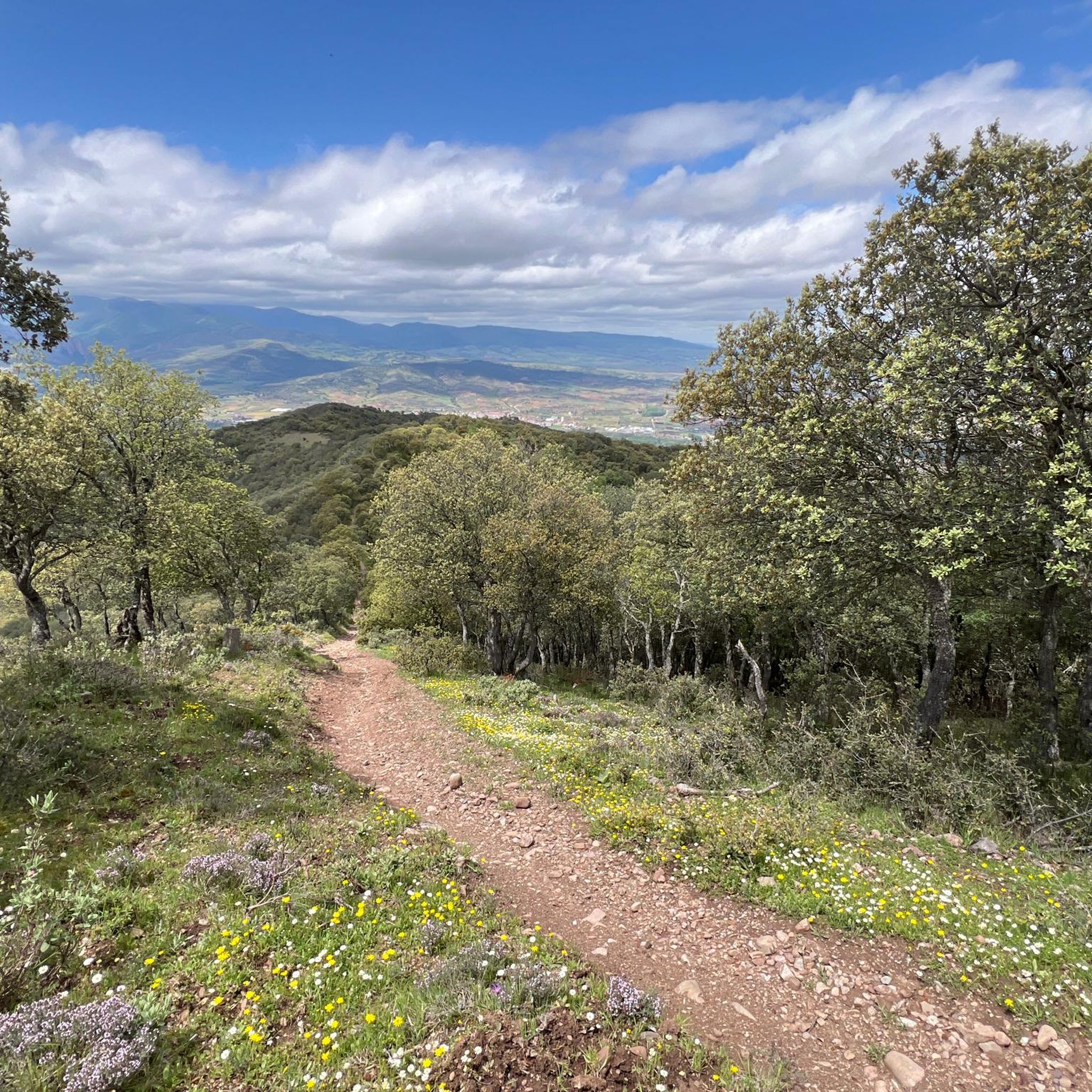
Jogging routes around Camprovín traverse a diverse landscape, situated at the foothills of the Moncalvillo and Sierra mountain ranges and on the slopes of the Serradero Mountains. The region is characterized by varied elevations, offering both challenging ascents and more gentle paths. The presence of the River Najerilla and its valley provides scenic vistas and potential riverside running routes. This natural setting, including the unspoilt nature of the Demanda Mountains, creates an environment rich in natural beauty for runners.
Best…
Last updated: July 4, 2026
9
runners
6.34km
00:39
30m
30m
Moderate run. Good fitness required. Mostly paved surfaces. Suitable for all skill levels.
7
runners
11.5km
01:34
430m
430m
Hard run. Very good fitness required. Mostly paved surfaces. Suitable for all skill levels.

Sign up for free
9
runners
11.1km
01:25
300m
300m
Hard run. Very good fitness required. Mostly paved surfaces. Suitable for all skill levels.
8
runners
7.83km
00:51
40m
40m
Moderate run. Good fitness required. Mostly paved surfaces. Suitable for all skill levels.
5
runners
15.5km
02:13
630m
630m
Hard run. Very good fitness required. Mostly paved surfaces. Suitable for all skill levels.
Get access to more routes and recommendations from other explorers.
Sign up for free
Already have an account?
Our route recommendations are based on thousands of hikes, rides, and runs completed by other people on komoot.
Start today with a free account
Your next adventure awaits.
Login or Signup

Tips from the Community

In Nájera they have known how to take advantage of the banks of the Najerilla river to make large green areas that cross the town and fill with life in good weather. There is grass, areas with benches, and pilgrims do not hesitate to put their tired feet in the cold water. If you need to make a stop in Nájera, this is a good place. In addition, in the town you will find shops, pharmacies and restaurants.
0
0
An old and small town that has it all: church, monastery, convent, castle, bridge, even a museum!
0
0

In Nájera they have been able to take advantage of the banks of the Najerilla River to make large green areas that cross the town and are filled with life in good weather. There is a lawn, areas with benches, and the pilgrims do not hesitate to put their tired feet in the cold water. If you need to make a stop in Nájera, this is a good place. In addition, in the town you will find shops, pharmacies and restaurants.
0
0
Frequently Asked Questions
How many running routes are available around Camprovín?
There are over 25 running routes around Camprovín, catering to various fitness levels. You'll find a good mix, with about 10 moderate trails and 17 more challenging options to explore.
What kind of terrain and elevation can I expect on running trails in Camprovín?
The running routes in Camprovín offer diverse terrain, from paths along the River Najerilla to trails ascending into the Moncalvillo and Sierra mountain ranges. You can expect varied elevations, with some routes featuring significant climbs, such as the Pico de La Perdiz loop from Camprovín which includes over 430 meters of elevation gain.
Are there any running routes with scenic viewpoints in Camprovín?
Yes, many routes offer stunning vistas. The region is known for its picturesque landscapes, including the Najerilla Valley. Trails leading into the Moncalvillo and Sierra mountain ranges often provide panoramic views. For example, the Pico de La Perdiz loop from Camprovín leads to panoramic views from Pico de La Perdiz itself. You can also find viewpoints like LasNeveras, which might be incorporated into certain routes.
What are some notable landmarks or attractions I might see while running near Camprovín?
While running, you might encounter natural features like the River Najerilla. For specific landmarks, consider routes that pass near historical sites. For instance, you could explore areas close to the Poyo de Roldán Stone Hut or the Daroca Castle, which is located on a summit offering great views.
Are there any circular running routes in the Camprovín area?
Yes, many of the running routes around Camprovín are designed as loops, allowing you to start and finish in the same location. An example is the Balsa del Soto – Pico de La Perdiz loop from Camprovín, which offers a challenging 15.5 km circular experience.
What is the best time of year for jogging in Camprovín?
Camprovín's climate makes it suitable for jogging for much of the year. Spring and autumn generally offer pleasant temperatures and vibrant scenery. Summer mornings and evenings are also ideal to avoid the midday heat. Winter can be challenging due to colder temperatures and potential snow in higher elevations, but lower valley routes may still be accessible.
Are there any dog-friendly running trails in Camprovín?
Many natural trails in the Camprovín area are suitable for running with dogs, provided they are kept under control and local regulations regarding pets in natural spaces are followed. It's always a good idea to bring water for your dog, especially on longer or more exposed routes.
Are there any shorter, easier running routes suitable for beginners or families?
While many routes are moderate to difficult, there are options for less strenuous runs. The Park on the riverbank (Nájera) – Nájera Old Town loop from Nájera is a moderate 7.8 km trail that is often completed in about 50 minutes, offering a gentler experience along the riverbank and through the historic town.
What do other runners enjoy most about jogging in Camprovín?
The komoot community highly rates the running experience in Camprovín. Runners frequently praise the varied terrain, the scenic beauty of the Najerilla Valley, and the challenging ascents that lead to rewarding views. The network of trails is appreciated for offering options for different ability levels.
Is parking available near the trailheads in Camprovín?
Parking availability varies by trailhead. In Camprovín and nearby towns like Nájera, you can typically find parking in village centers or designated areas close to popular starting points. For specific routes, it's advisable to check the route details on komoot for information on parking facilities.
Can I reach running trails in Camprovín using public transport?
Access to trailheads in Camprovín primarily relies on personal transport, given its rural setting. While some larger towns in La Rioja have public transport connections, direct public transport to specific, more remote trailheads around Camprovín might be limited. Planning your journey in advance is recommended.
Are there any challenging running routes for experienced runners in Camprovín?
Absolutely. Camprovín is situated at the foothills of the Moncalvillo and Sierra mountain ranges, offering numerous difficult routes. The Park on the riverbank (Nájera) – Nájera loop from Nájera is a difficult 18 km trail with over 500 meters of elevation gain, providing a significant challenge for experienced runners.
Most popular attractions around Camprovín

Get inspired with the komoot mobile app


Explore more
Browse the best Running Trails & Routes in other regions.
