The 17 Most Amazing Peaks around Briones
Best mountain peaks around Briones Regional Park offer significant elevation gains and panoramic views of the surrounding natural beauty. This vast expanse of rolling hills in the East Bay features several notable high points. Key peaks include Briones Peak, Mott Peak, and Russell Peak, providing diverse hiking experiences. The area is characterized by oak-dotted grasslands and an extensive network of trails.
Best mountain peaks around Briones
- The most popular mountain peaks is Toloño (geodetic vertex), a summit that offers…
Last updated: June 29, 2026
Toloño
Highlight • Summit
Translated by Google •
Tip by

Puerto de Herrera
Highlight • Mountain Pass
Translated by Google •
Tip by

Sign up now to discover places like this
Get recommendations on the best single tracks, peaks, & plenty of other exciting outdoor places.
Sign up for free
Castle Rock
Highlight • Summit
Translated by Google •
Tip by

Peña la Abeja
Highlight • Summit
Translated by Google •
Tip by
Peña Las Doce Summit
Highlight • Summit
Translated by Google •
Tip by
Sign up for free to discover even more peaks around Briones.
Sign up for free
Already have an account?
Start today with a free account
Your next adventure awaits.
Login or Signup
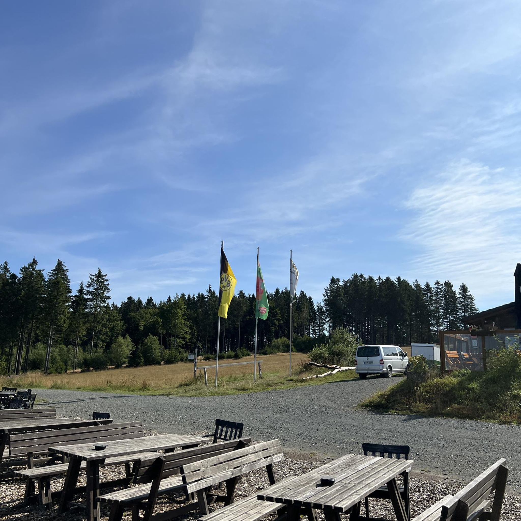
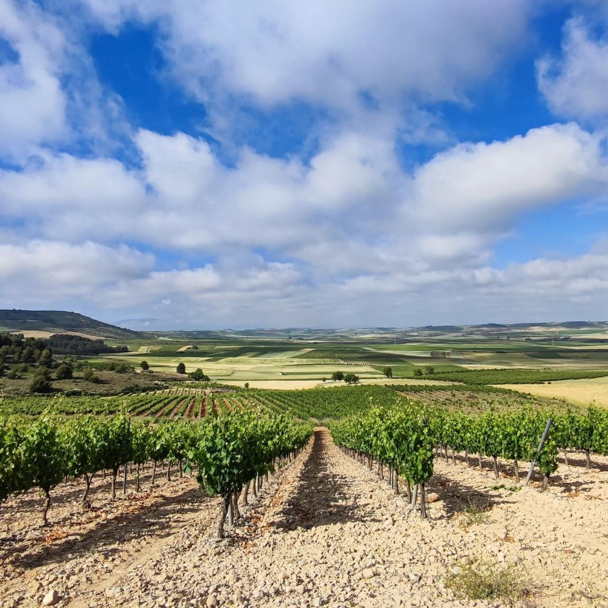
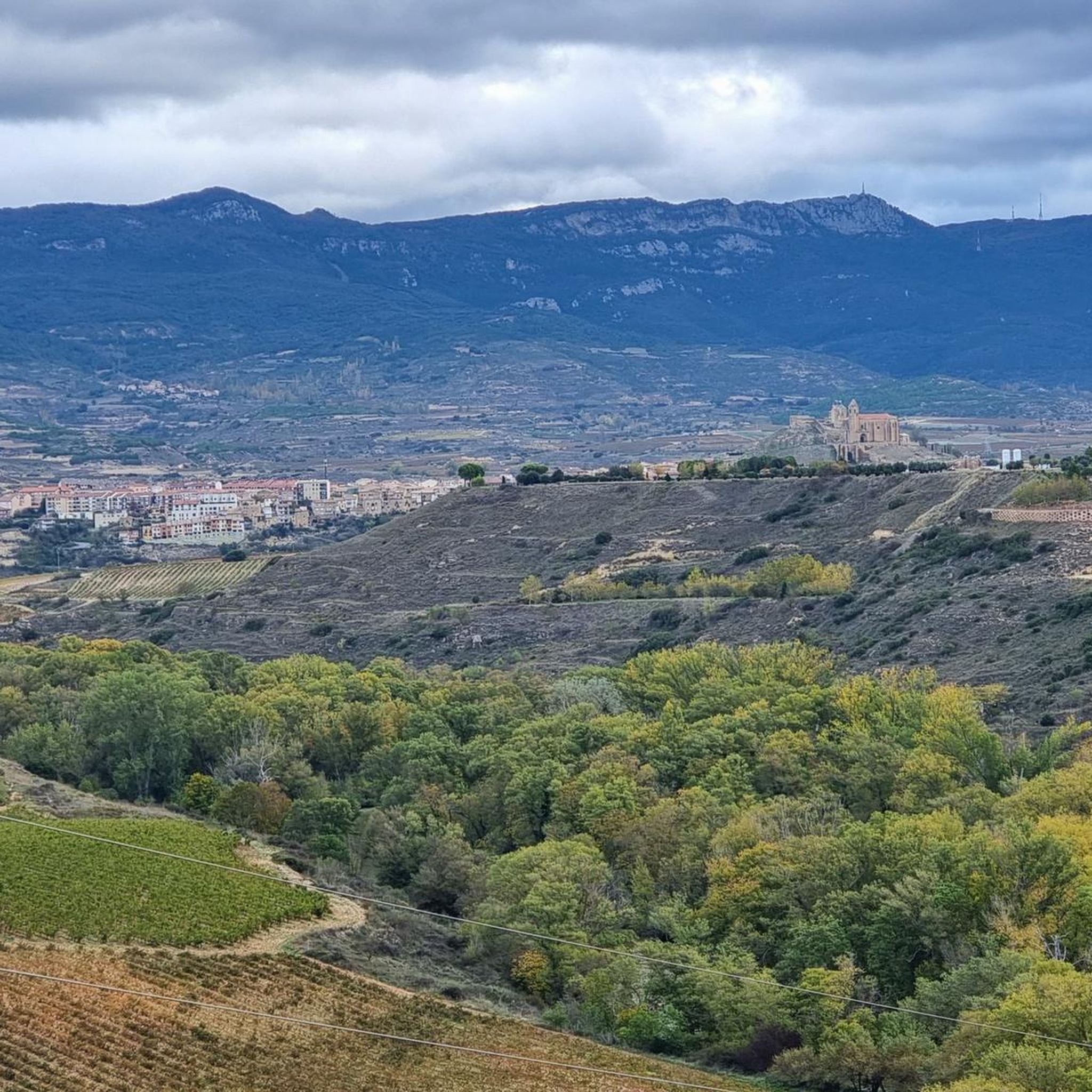
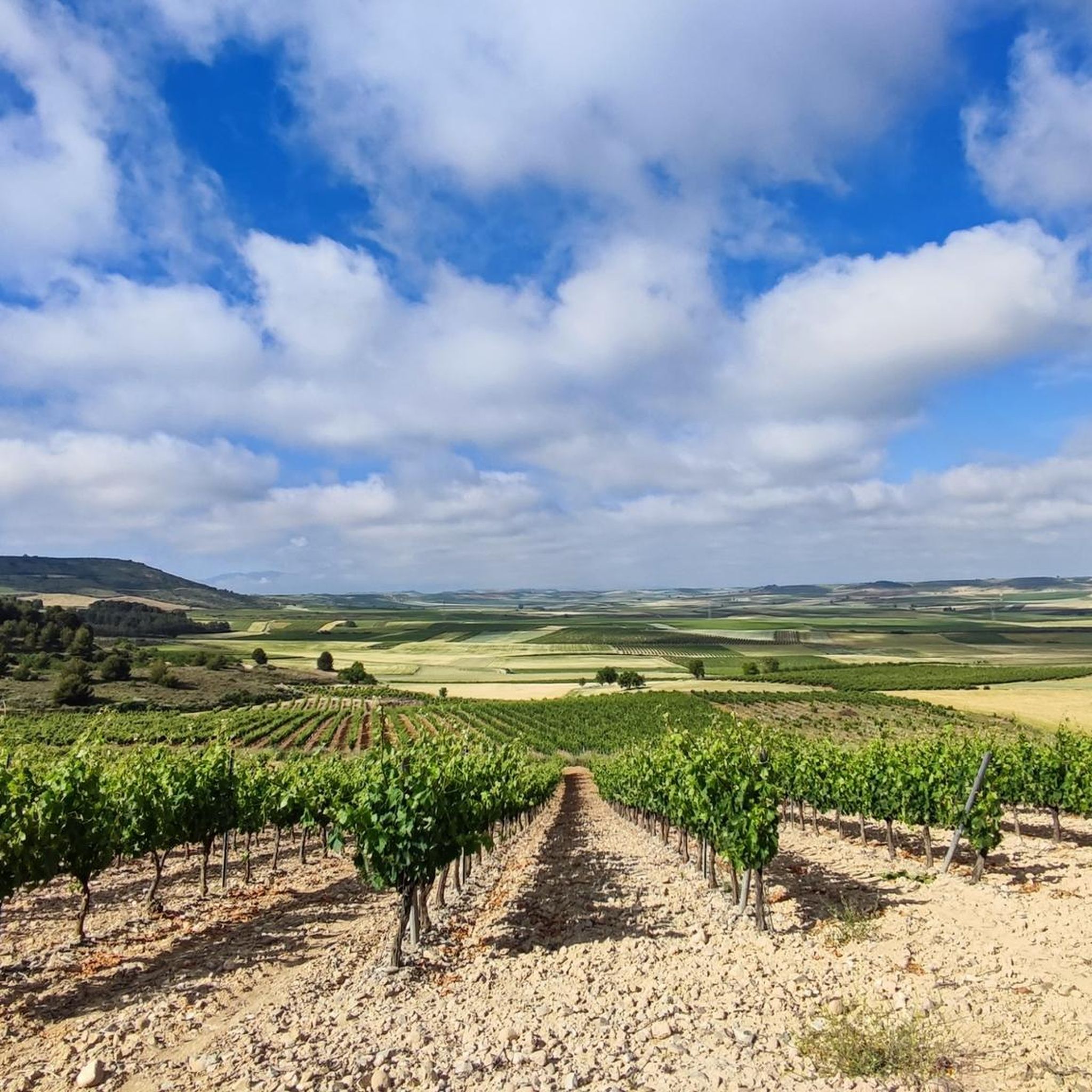
Tips from the Community

One of the toughest, if not the toughest, mountain passes in Álava. Cantabrian Mountains. Natural border with La Rioja.
1
0

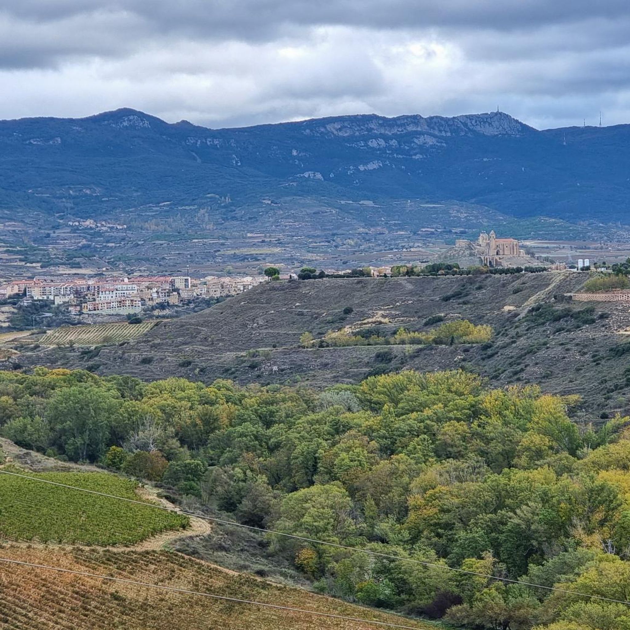
The route returns along the same path, passes the gate again and continues along the path with the green dots towards the geodesic vertex of Toloño (1,264 m), which is not the main summit, this is a cartographic landmark, the main summit is after a little hill planted in some airy and solitary cliffs. The views jump the meanders of the Ebro and reach the silhouettes of San Lorenzo, San Millán and the rest of the peaks of the Sierra de la Demanda. Moncayo appears further away, claiming some prominence in an unforgettable scene. At the foot of the Toloño, in the first valley hanging from the south face, appear the ruins of the Toloñoko Andra Mari, the ancient Monastery of Santa María del Toloño. And to the right the peaks that remain to complete the mountain journey.
0
0

Clean path to the top. Views of the Monastery of La Herrera. The mailbox is not at the highest point because it does not have views, but a few meters to the East.
0
0

Summit with spectacular views but you have to earn them since to reach the highest part you have to make a small climb.
1
0
Summit with spectacular views that you have to win since to reach the highest part you have to climb a little.
0
0

Mountain that is in the old middle of the Montes Obarenses and from where you can see impressive views of the valley where the center of Miranda de Ebro is located.
0
0

Mythical Alava port bordering between Campezo and Laguardia. The ascent from Peñacerrada is 7.5 kilometers long and has slope peaks greater than 10%. The road is narrow and winding through green forests. Cyclists who enjoy the ascents and the landscape will fulfill their expectations.
1
0

Perhaps the most emblematic mountain in the area, and no wonder, it's a pleasure to be up there.
1
0
Frequently Asked Questions
What are the most notable peaks and high points within Briones Regional Park?
Within Briones Regional Park, the most notable high points include Briones Peak, Mott Peak, and Russell Peak. Briones Peak is the highest at 1,483 feet, offering extensive views. Mott Peak, at 1,424 feet, is often praised for its panoramic vistas in all directions. Russell Peak, at 1,355 feet, is part of the park's extensive trail network. Additionally, the Table Top Trail and Briones Crest offer exceptional viewpoints.
What kind of views can I expect from the peaks in Briones Regional Park?
From Briones Peak, you can enjoy panoramic views of Mount Diablo, the Sacramento River and Delta, the East Bay hills, Mount Tamalpais, and Las Trampas Regional Wilderness. Mott Peak provides excellent panoramic views in all directions, often featuring Bear Creek Valley, Toyon Canyon, and Sindicich Lagoons. The Briones Crest Trail offers continuous views of the Berkeley Hills, Carquinez Strait, San Francisco Bay, and Mount Tamalpais. On clear days, the Table Top Trail can even offer views extending to the Sierra Nevada.
Are there challenging hikes to the peaks in Briones Regional Park?
Yes, several trails lead to Briones Peak, including routes from the Alhambra Creek Staging Area and the Bear Creek Staging Area, which offer challenging ascents. The park's varied terrain and elevation gains provide a range of difficulties for hikers. For a particularly demanding climb in the broader region, consider the ascent to Puerto de Herrera, known for its steep slopes.
What is the best time to visit Briones Regional Park for hiking?
The Briones Regional Park is particularly beautiful for hiking in the winter and spring when the hills are lush and green. The oak-dotted grasslands are vibrant during these seasons, offering a refreshing experience.
What other outdoor activities can I do near the mountain peaks of Briones?
Beyond hiking, the Briones area offers a variety of outdoor activities. You can find numerous routes for road cycling, such as the challenging 'Puerto de Herrera – Peñacerrada Pass loop from Briones' or the 'Following the Ebro River — circular from Briones'. For running, there are trails like the 'Carabriñas loop from Barrio de La Estación'. Gravel biking is also popular, with routes like 'Mymerak gravel route between wine cellars'. You can explore more options on the Road Cycling Routes around Briones, Running Trails around Briones, and Gravel biking around Briones guide pages.
What do visitors enjoy most about the mountain peaks in the Briones region?
Visitors frequently appreciate the extensive panoramic views from the summits and high points. For instance, Toloño is considered an emblematic mountain, offering extensive panoramas across the landscape. The Toloño (geodetic vertex) is also noted for its 'super cool views'. The sense of accomplishment after a challenging climb, like to Castle Rock, which requires a small climb to the highest part, is also highly valued.
Are there any unique or emblematic summits in the broader Briones region?
Yes, the region features several unique summits. Toloño is considered perhaps the most emblematic mountain in the area, offering extensive panoramas. Another notable summit is Castle Rock, which provides spectacular views but requires a small climb to reach its highest point. Peña la Abeja also offers impressive views of the valley and the Monastery of La Herrera.
Can I find loop hikes around the Briones mountain trails?
Yes, the Briones Regional Park offers a network of trails suitable for loop hikes. For example, loops incorporating the Table Top Trail, such as the Briones Peak and Table Top – Spengler Trail Loop, provide excellent opportunities for expansive views. Many fire roads also form loops, popular for hiking, especially when the hills are green.
What kind of terrain and elevation can I expect on the trails?
The park features a vast expanse of rolling hills, oak-dotted grasslands, and varied terrain. You can expect significant elevation gains, especially when ascending to peaks like Briones Peak (1,483 feet) and Mott Peak (1,424 feet). The trails range from moderate to challenging, with some requiring a small climb to reach the very top, such as at Castle Rock.
Are there specific trails recommended for panoramic views in Briones Regional Park?
For panoramic views, the trails leading to Briones Peak and Mott Peak are highly recommended. The Table Top Trail is also frequently mentioned for offering even better vistas that can extend to the Sierra Nevada on a clear day. The Briones Crest Trail stays high for much of its length, providing continuous views of the Berkeley Hills, Carquinez Strait, San Francisco Bay, and Mount Tamalpais.
What are the access points and parking options for Briones Regional Park?
Briones Regional Park can be accessed from various staging areas. Popular trailheads for reaching the peaks include the Alhambra Creek Staging Area and the Bear Creek Staging Area. These points serve as starting locations for many hikes within the park.
Most popular routes around Briones
Most popular attractions around Briones

Get inspired with the komoot mobile app


Explore more
See even more amazing summits around Briones with these guides:
