The best running trails around Macotera
4.7
(3)
114
runners
28
runs
Jogging routes around Macotera offer a blend of natural beauty and varied terrain in the eastern part of Salamanca province. The region features the modest Río Margañán, providing opportunities for riverside paths, especially during wetter seasons. The Parque Natural Las Cárcavas, located near the urban center, offers a network of recreational trails through poplars and holm oaks, with a stream and natural water sources. The landscape includes both flat sections and more pronounced slopes, such as the "cuesta del pinar"…
Last updated: October 28, 2026
9
runners
4.83km
00:35
40m
40m
Easy run. Mostly paved surfaces.
8
runners
8.06km
00:56
60m
60m
Moderate run. Good fitness required. Mostly paved surfaces.

7
runners
11.3km
01:10
50m
50m
Moderate run. Good fitness required. Mostly paved surfaces.
5.0
(1)
6
runners
9.53km
01:08
50m
50m
Moderate run. Good fitness required. Mostly paved surfaces.
6
runners
11.3km
01:11
60m
60m
Moderate run. Good fitness required. Mostly paved surfaces.
Get access to more routes and recommendations from other explorers.
Already have an account?
Our route recommendations are based on thousands of hikes, rides, and runs completed by other people on komoot.
Start today with a free account
Your next adventure awaits.
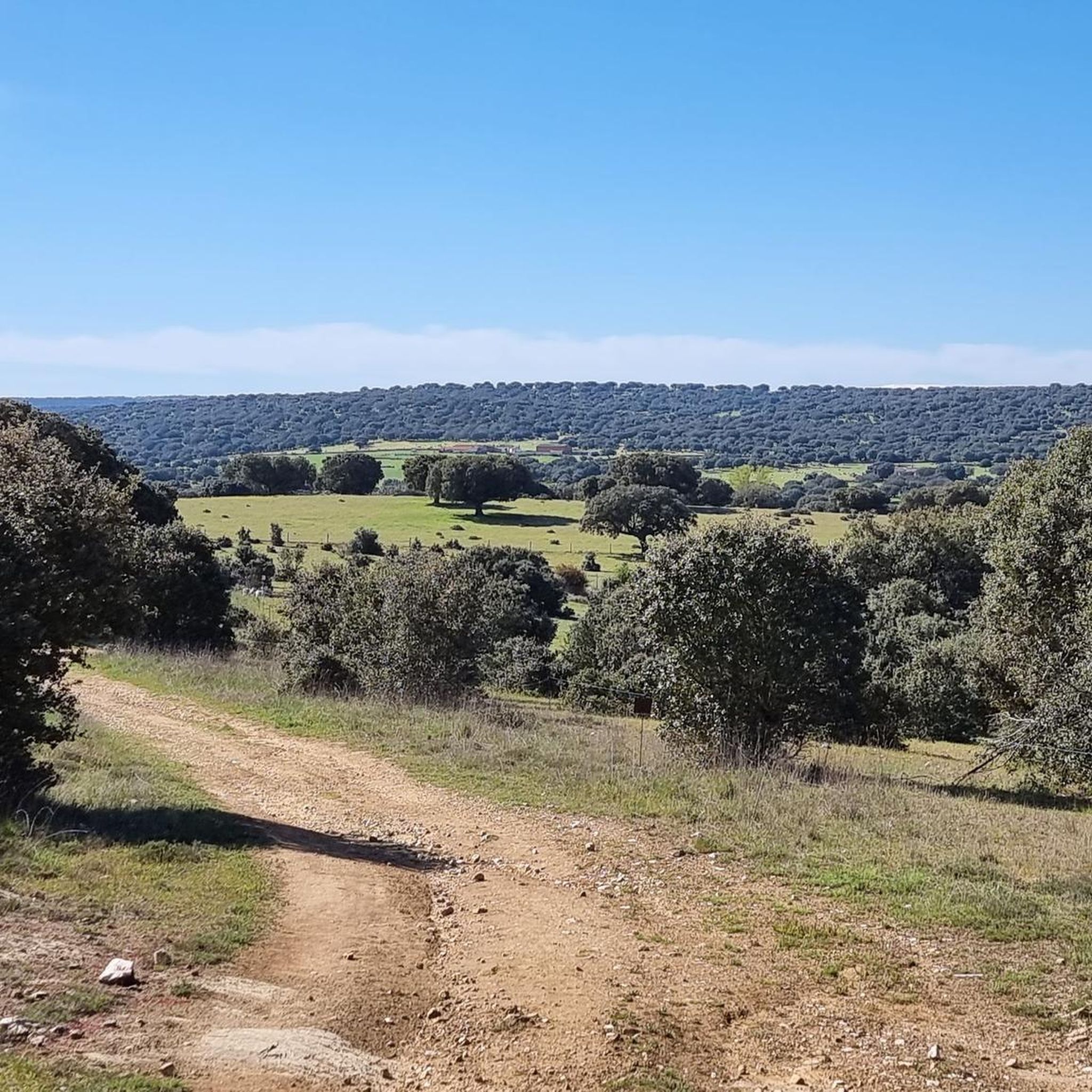

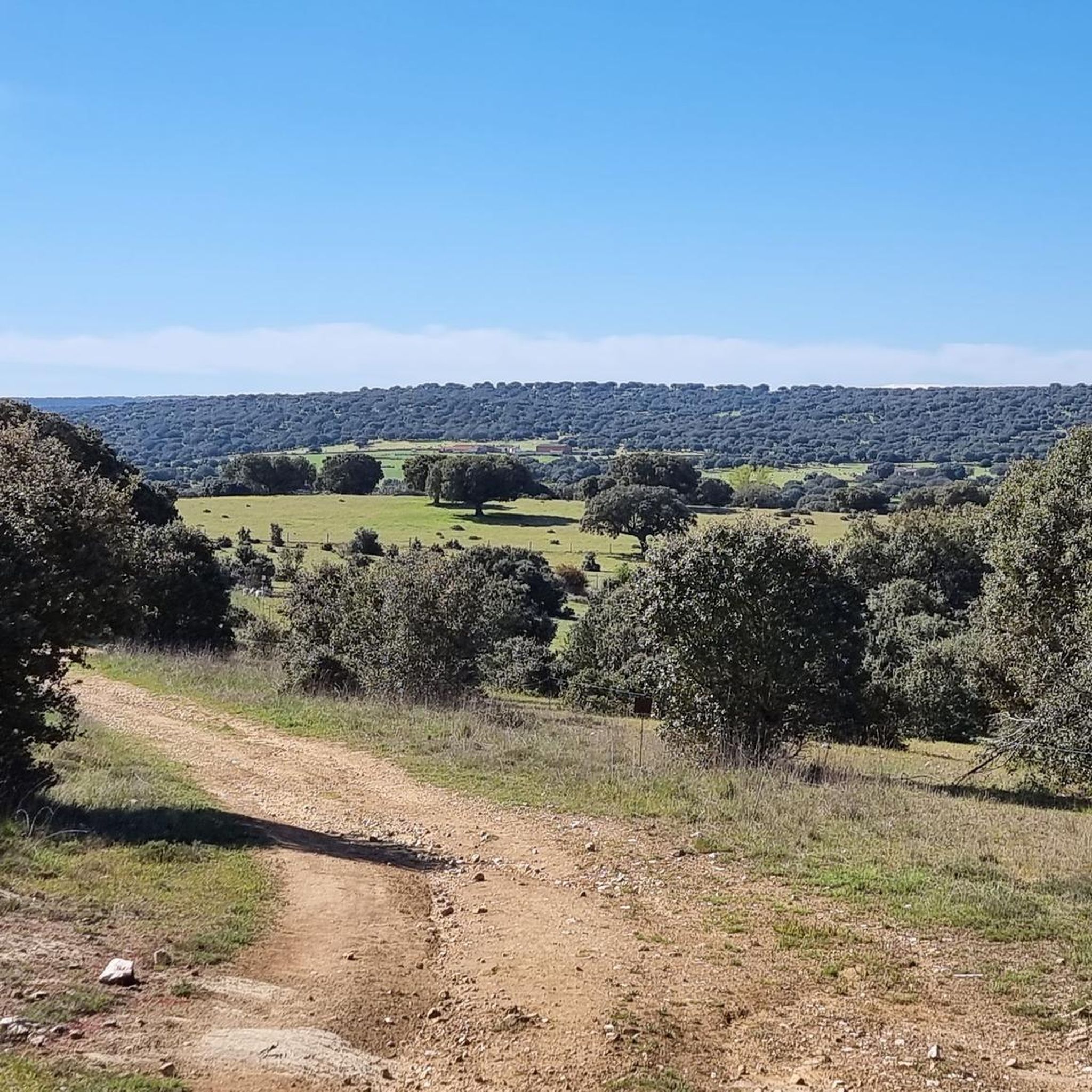
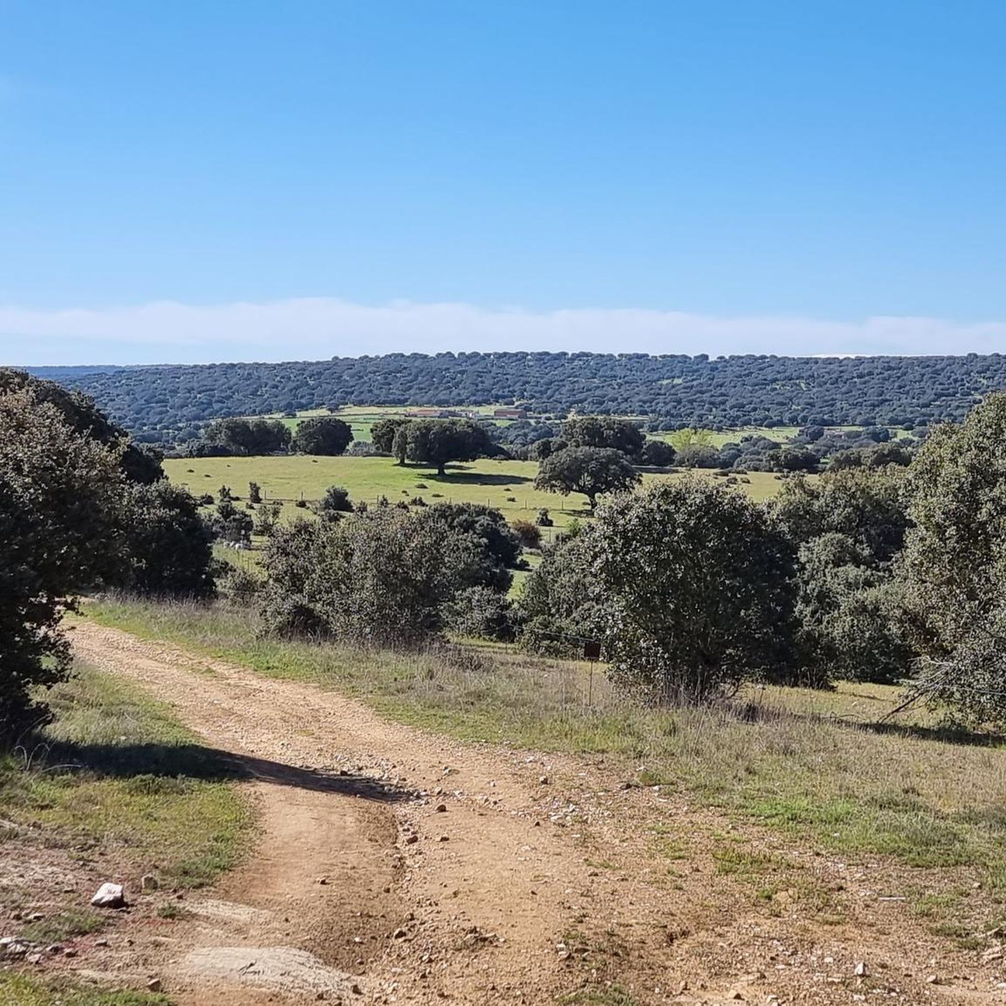
Tips from the Community

A good park with a physical exercise machine
0
0
Frequently Asked Questions
How many running routes are available in Macotera?
Macotera offers a good selection of running routes, with over 20 trails available. These routes cater to various fitness levels, ranging from easy loops to more challenging paths with varied terrain.
Are there easy running routes suitable for beginners in Macotera?
Yes, Macotera has options for beginners. An excellent starting point is the Running loop from Macotera, which is an easy 3.0-mile (4.8 km) trail. This route offers an accessible option for a quick run and is generally flat, making it ideal for those new to jogging or looking for a relaxed pace.
What are the best seasons for jogging in Macotera?
The varied terrain and natural features of Macotera make it suitable for jogging throughout much of the year. Spring and autumn offer pleasant temperatures and beautiful scenery, especially along the Río Margañán. Even in winter, the landscape can be appealing, with distant views of the snow-capped Sierra de Gredos mountains. Summers can be warm, so early mornings or late evenings are recommended.
Are there any family-friendly running or walking trails in Macotera?
Absolutely. The Parque Natural Las Cárcavas, located about 3 km from the town center, is an excellent choice for families. It features a network of paths and trails through poplars and holm oaks, with a stream and potable water fountains. Its developed recreational space, including picnic areas, makes it suitable for both jogging and leisurely family walks.
Can I bring my dog on the running trails in Macotera?
Many of the natural areas around Macotera, such as the paths along the Río Margañán and within the Parque Natural Las Cárcavas, are generally dog-friendly. However, it's always advisable to keep your dog on a leash, especially in areas with livestock or near other visitors, and to be mindful of local regulations regarding pets in natural parks. Always carry water for your dog, particularly during warmer months.
What kind of terrain can I expect on Macotera's running routes?
Macotera's running routes offer a diverse mix of terrain. You'll find riverside paths along the Río Margañán, recreational trails within the Parque Natural Las Cárcavas, and routes through agricultural landscapes. The region features both relatively flat sections and more pronounced slopes, such as the 'cuesta del pinar' (pine forest hill), providing options for both gentle runs and more challenging ascents.
Are there any scenic viewpoints or natural landmarks along the running routes?
Yes, the region offers scenic views. Routes that include the 'cuesta del pinar' provide panoramic vistas, including distant views of the Sierra de Gredos mountains, especially striking when snow-capped in winter. The Río Margañán offers picturesque riverside scenery, and the Parque Natural Las Cárcavas provides a pleasant natural setting with its poplars and holm oaks.
Where can I find parking near the running trails in Macotera?
While specific parking areas for every trail are not detailed, the Parque Natural Las Cárcavas, being a developed recreational area, likely offers designated parking. For routes starting directly from Macotera or nearby villages like Coca de Alba or Peñaranda de Bracamonte, you can typically find parking within the urban centers or at the start of the trails leading into the countryside.
What do other runners enjoy most about jogging in Macotera?
The running routes in Macotera are highly rated by the komoot community, with an average score of 4.5 stars. Runners often praise the varied terrain, which includes both gentle paths and more challenging inclines, and the natural beauty of the area, from riverside trails to pine-covered hills. The options for different ability levels are also frequently appreciated.
Are there any longer running routes for experienced runners?
Yes, for more experienced runners looking for longer distances, routes like the Running loop from Peñaranda de Bracamonte offer a substantial challenge. This trail is approximately 6.5 miles (10.5 km) and leads through the agricultural landscape, providing views of the wider region. Another option is the La Charca loop from Macotera, which is about 9.5 km.
Are there any circular running routes around Macotera?
Many of the popular running options in the Macotera area are designed as circular routes, allowing you to start and finish in the same location. Examples include the Running loop from Coca de Alba, a moderate 5.0-mile (8.1 km) path, and the Park Near Peñaranda loop from Peñaranda de Bracamonte, which is over 10 km.
Most popular attractions around Macotera

Get inspired with the komoot mobile app


Explore more
Browse the best Running Trails & Routes in other regions.
