The best walks and hikes around Santa María De La Isla
4.5
(17)
202
hikers
17
hikes
Hiking around Santa María De La Isla offers routes through the flat plains and river valleys of the Órbigo river. The landscape is characterized by agricultural fields, riverside paths, and small villages. Elevation changes are generally minimal, making many trails accessible.
Best hiking trails around Santa María De La Isla
- The most popular hiking route is Ribera del río Órbigo – circular desde Soto de la Vega, an easy 3.3 miles (5.3 km) trail that takes 1 hour 21…
Last updated: July 17, 2026
5.0
(1)
2
hikers
5.29km
01:21
20m
20m
Easy hike. Great for any fitness level. Easily-accessible paths. Suitable for all skill levels.
3.0
(1)
2
hikers
13.6km
03:26
30m
30m
Hike the Vía de la Plata and Bazán Castle Loop, a moderate 8.4-mile route combining ancient Roman roads with a medieval castle near La Bañez

Sign up for free
10.1km
02:34
20m
20m
Moderate hike. Good fitness required. Easily-accessible paths. Suitable for all skill levels.
24.3km
06:17
140m
140m
Hard hike. Very good fitness required. Easily-accessible paths. Suitable for all skill levels.
4.9
(9)
115
hikers
Hard hike. Very good fitness required. Easily-accessible paths. Suitable for all skill levels.
Get access to more routes and recommendations from other explorers.
Sign up for free
Already have an account?
Our route recommendations are based on thousands of hikes, rides, and runs completed by other people on komoot.
Start today with a free account
Your next adventure awaits.
Login or Signup
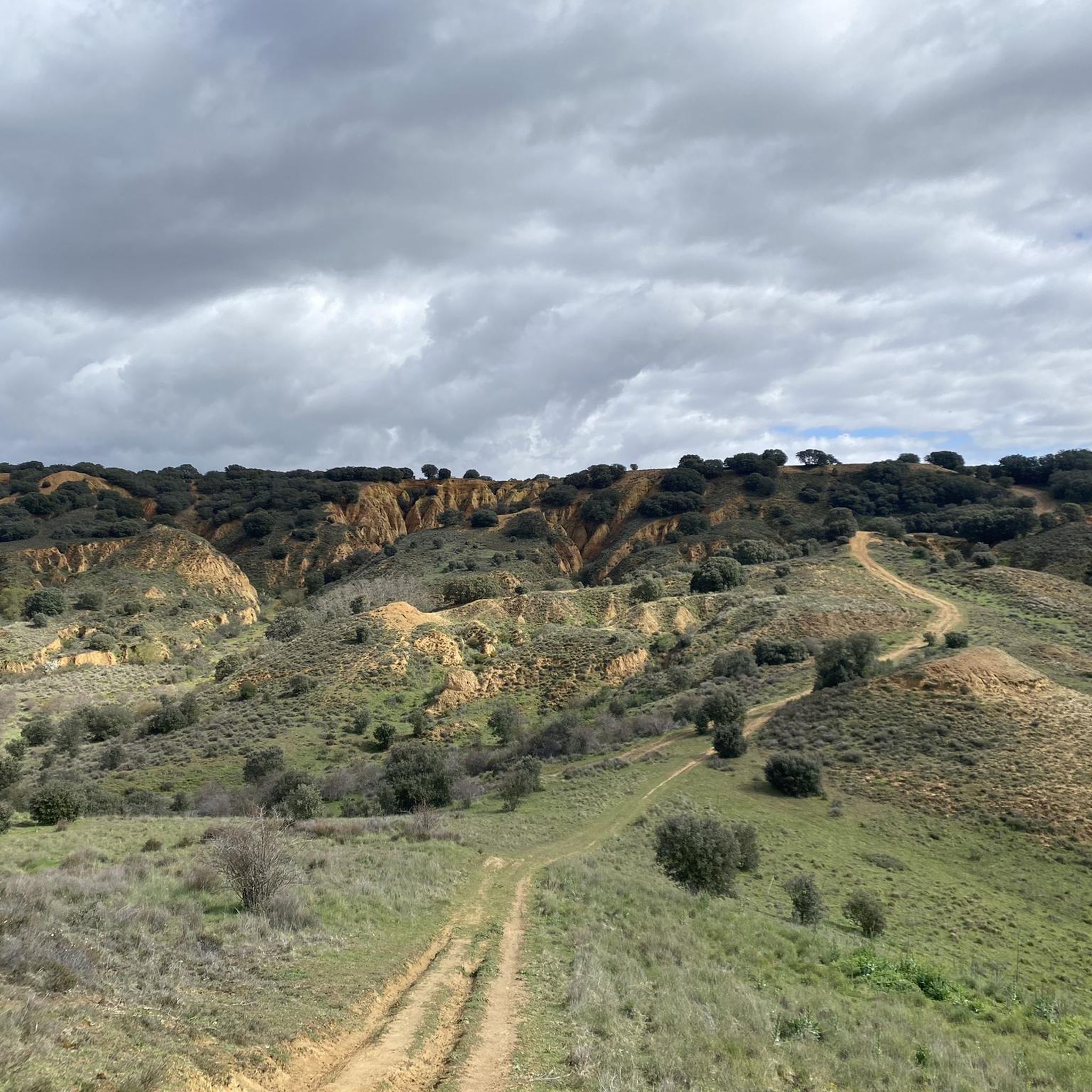
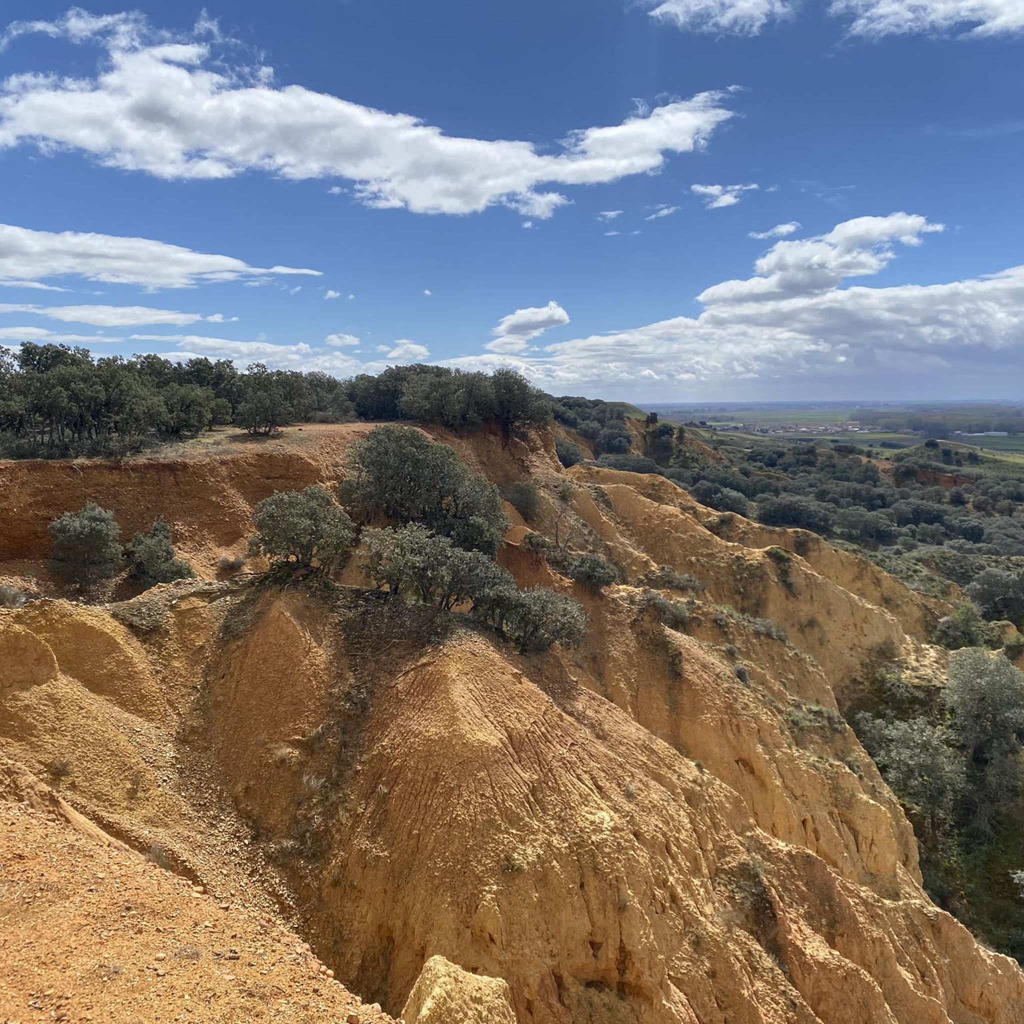
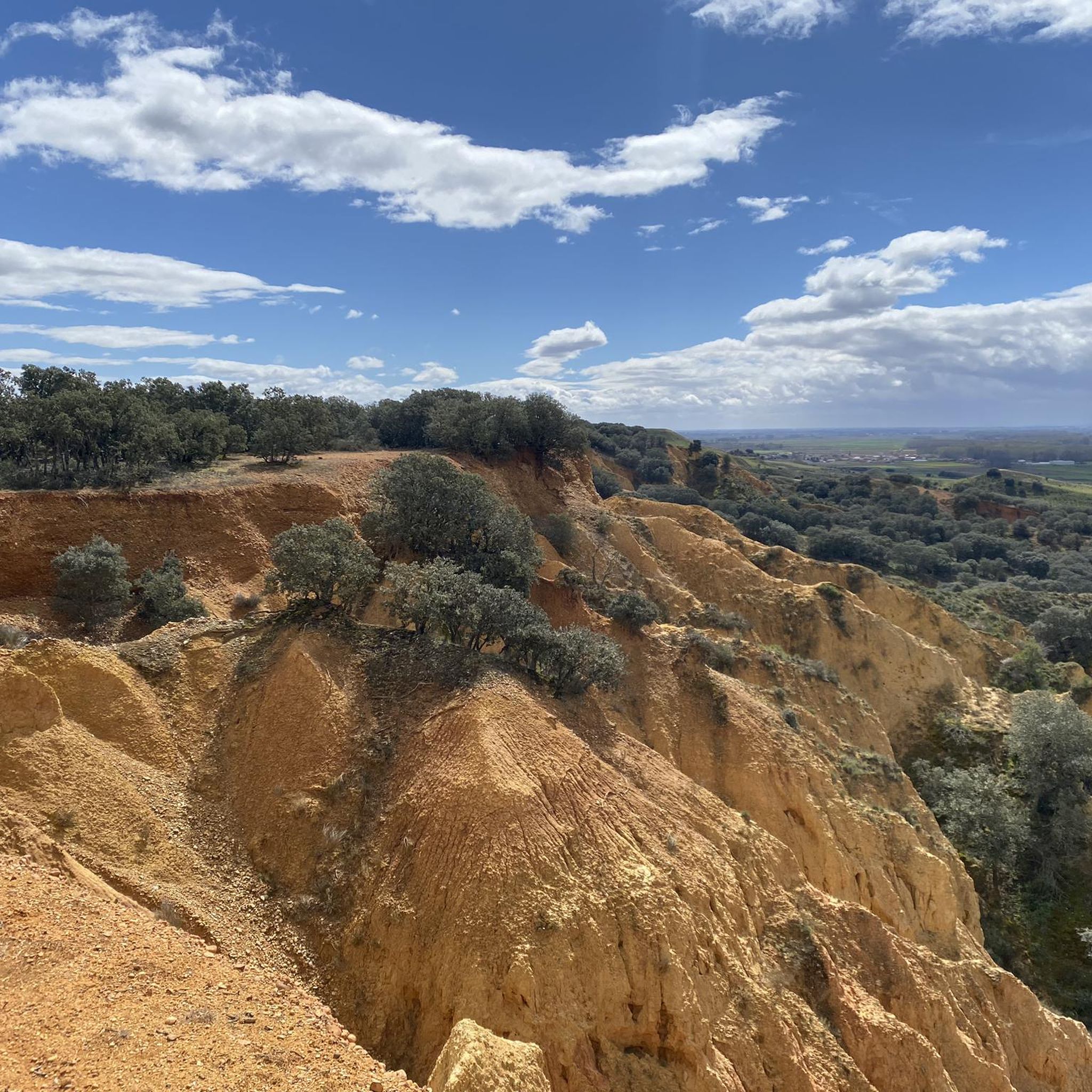
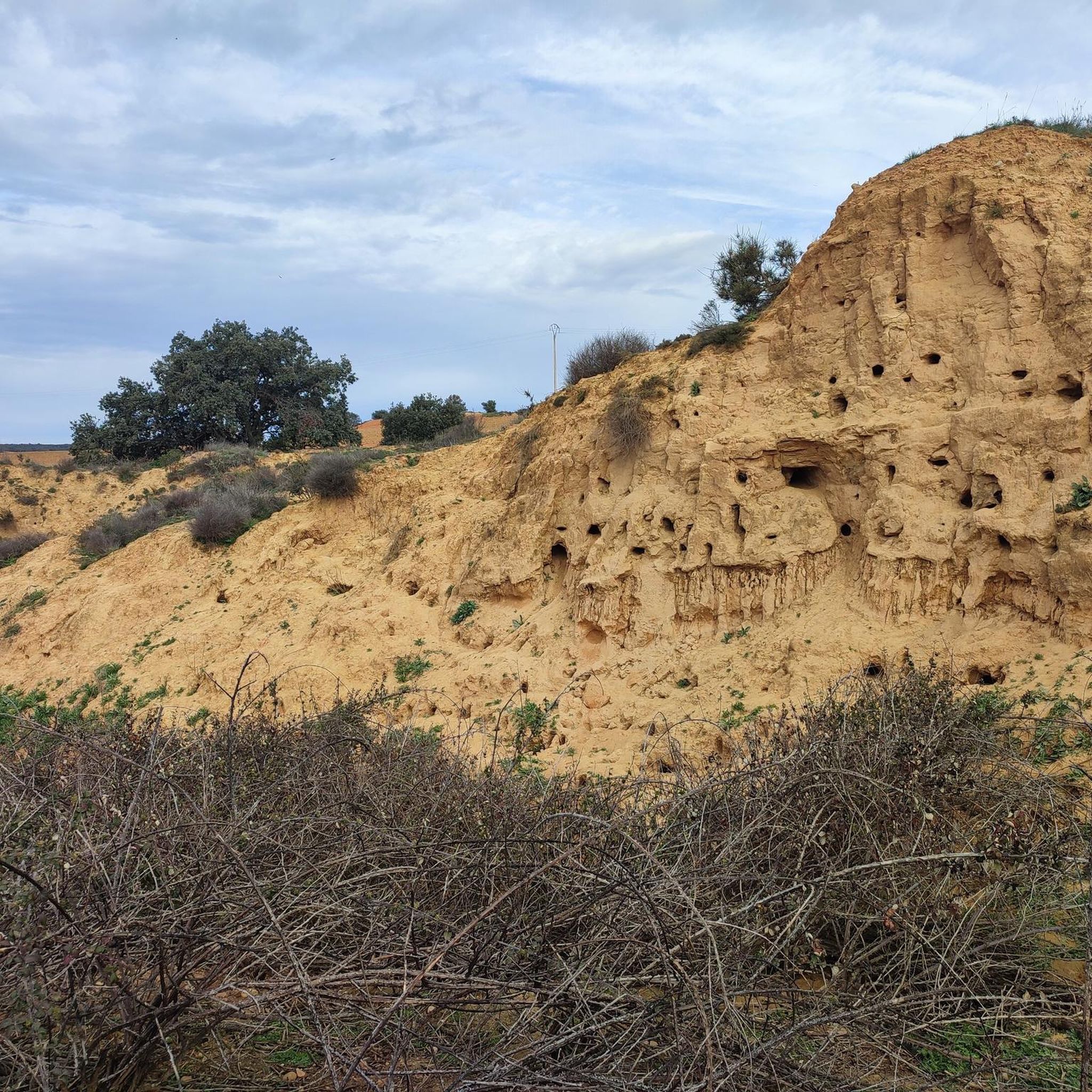
Tips from the Community

For me, this place is a piece of paradise on the Camino. Take a short break in the shade. Enjoy some of the delicacies (fruit, eggs, cake, etc.). In this atmosphere, it's easy to relax, rejuvenate, and move on more easily (and happier).
1
0

Best hostel so far on my Camino.
1
0

The Crucero de Santo Toribio is a natural viewpoint located in San Justo de la Vega, about five kilometers before reaching Astorga, León. From this point, you can enjoy a panoramic view of the city of Astorga and the Montes de León. Legend has it that Santo Toribio, bishop of Astorga in the 5th century, stopped at this place when he was forced to leave the city. Looking towards Astorga for the last time, he shook his sandals and exclaimed: "From Astorga, not even the dust." Later, the city named him its patron saint. 🌄⛪
4
1
If you have the opportunity to explore this trail, you will enjoy the natural beauty and ecological richness of the area. Good hike! 🌿🚶♀️
3
1

The sculpture pays tribute to the pilgrims and is intended to symbolize the traveler's thirst for knowledge, introspective quest and cultural fusion on the Camino de Santiago. It is located in the gardens of the Bajada del Crucero, next to an iron fountain from the early 20th century.
1
1
The 'Sitio, tengo sed' is a sculpture by the artist Sendo, located in the Bajada del Crucero in San Justo de la Vega. The sculpture was unveiled on July 30, 2014. It is a bronze statue 2.5 meters high that shows a pilgrim drinking from his gourd next to a fountain. Other attributes of the pilgrim are also depicted, such as the staff, which symbolizes both resistance and hardship, the knapsack and the conch, which was originally the mark of those returning from the pilgrimage to Santiago de Compostela. The conch's meanings include death and rebirth.
2
0

A small "Cruz de Ferro" is a very pleasant place to rest. But the path is not recommended for cycling.
2
1
Very beautifully designed fountain for drinking water.
4
0
Frequently Asked Questions
How many hiking trails are available in Santa María De La Isla?
There are 15 hiking trails around Santa María De La Isla, offering a variety of experiences through the region's flat plains and river valleys.
Are there easy hiking trails suitable for beginners or casual walkers?
Yes, Santa María De La Isla features 8 easy hiking trails. A great option is the Ribera del río Órbigo – circular desde Soto de la Vega, an easy 3.3-mile (5.3 km) path that follows the riverbanks.
What kind of landscape can I expect on hikes in Santa María De La Isla?
The landscape is characterized by the flat plains and river valleys of the Órbigo river, featuring extensive agricultural fields, tranquil riverside paths, and charming small villages. Elevation changes are generally minimal, making for accessible walks.
Are there any challenging hikes for experienced trekkers?
Yes, for those seeking a challenge, there are 2 difficult trails. One notable option is Riego de la Vega from Valderrey — circular by the Torcas de Barrientos, a 15.1-mile (24.3 km) route with more significant elevation changes.
What are some popular circular walks in the area?
Many trails in Santa María De La Isla are circular, allowing you to start and end in the same location. A popular choice is La Bañeza — circular by the río Órbigo, a 6.3-mile (10.1 km) trail through riverine landscapes.
What can I see along the hiking trails in Santa María De La Isla?
Along the trails, you can discover historical and cultural landmarks. Highlights include the historic Passo Honroso Bridge, the serene Garden of the Soul, and the significant Church of St John the Baptist in Hospital de Órbigo.
Are the hiking trails in Santa María De La Isla suitable for families with children?
Given the generally minimal elevation changes and numerous easy routes, many trails are well-suited for families. Riverside paths offer pleasant, flat walking experiences for all ages.
What do other hikers say about the trails in Santa María De La Isla?
The komoot community highly rates the trails in Santa María De La Isla, with an average score of 4.4 stars from over 10 reviews. Hikers often praise the peaceful riverside walks and the charming rural scenery.
Are there any long-distance hiking options in the region?
Yes, some routes incorporate sections of longer historic paths. For example, the Vía de la Plata and Bazán Castle Loop is a moderate 8.4-mile (13.6 km) path that utilizes part of the ancient Vía de la Plata.
Is it possible to access hiking trails using public transport?
While specific public transport links directly to trailheads may be limited, local bus services connect Santa María De La Isla with nearby towns. It's advisable to check local bus schedules for routes that might get you close to your desired starting point.
What is the best time of year to hike in Santa María De La Isla?
Spring and autumn generally offer the most pleasant hiking conditions with mild temperatures and less rainfall. Summer can be warm, especially in the open agricultural areas, while winter can bring cooler temperatures, though heavy snow is uncommon in the low-lying river valleys.
Most popular routes around Santa María De La Isla
Most popular attractions around Santa María De La Isla

Get inspired with the komoot mobile app


Explore more
Browse the best Hikes in other regions.
