The best MTB trails around Ridö-Sundbyholmsarkipelagen
52
riders
9
rides
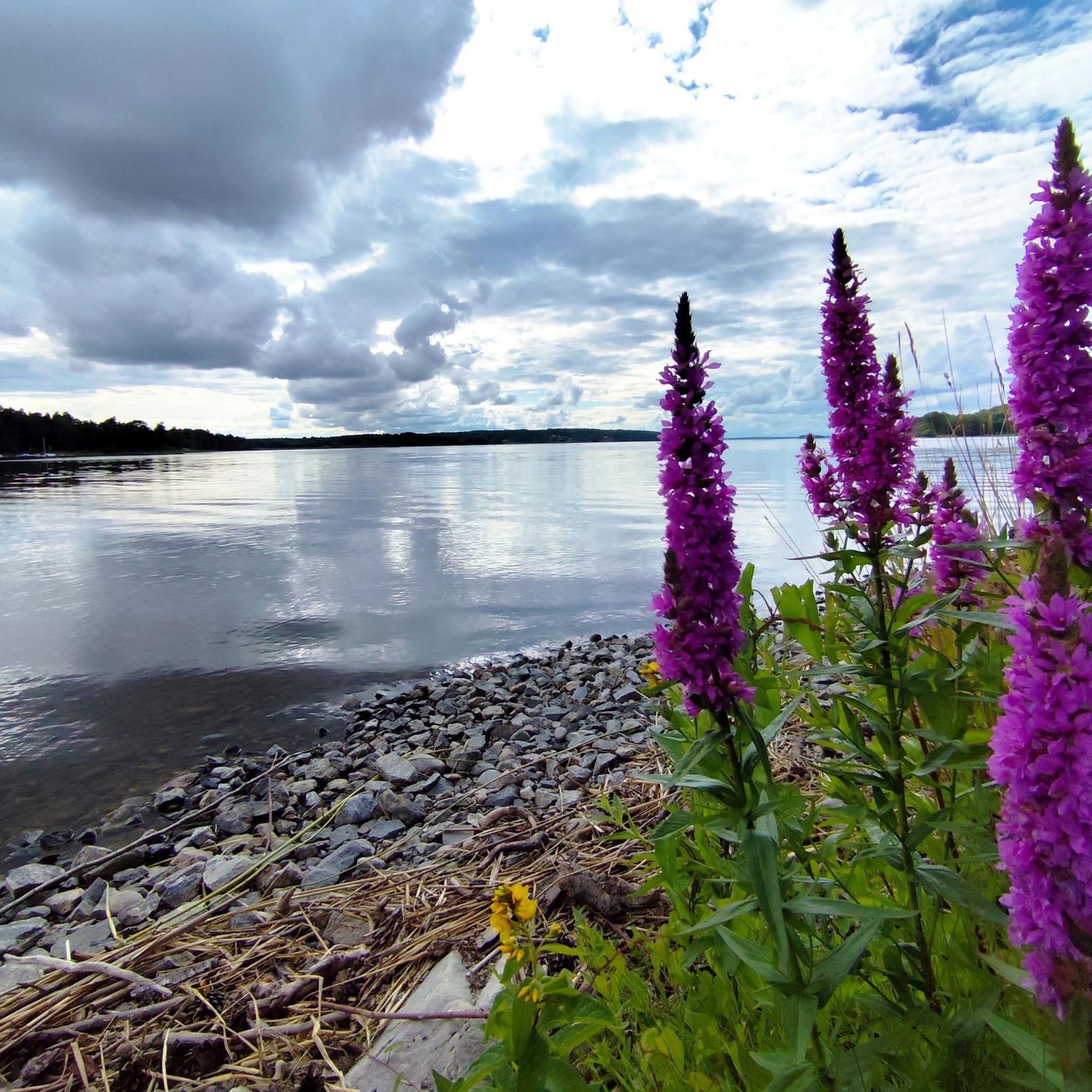
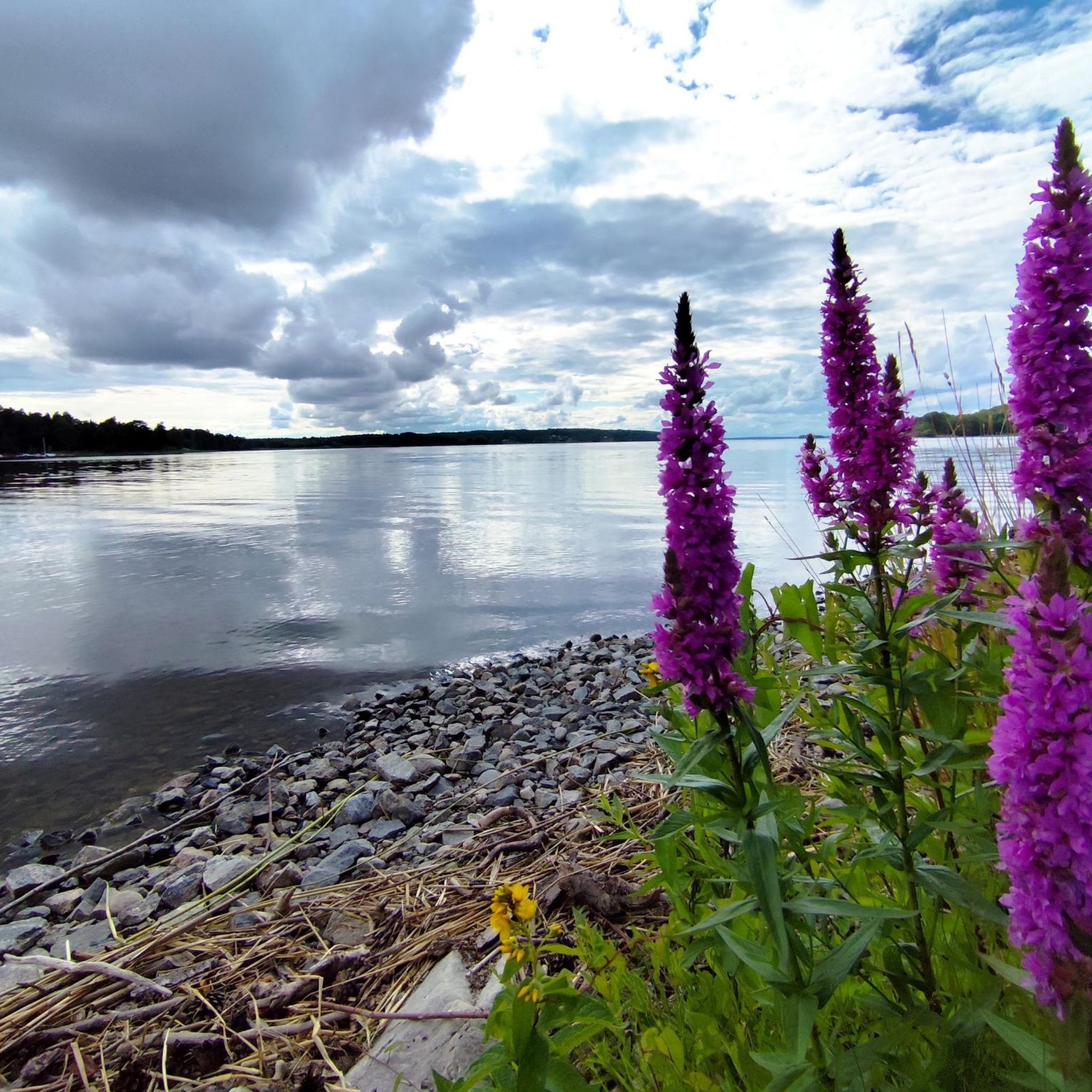
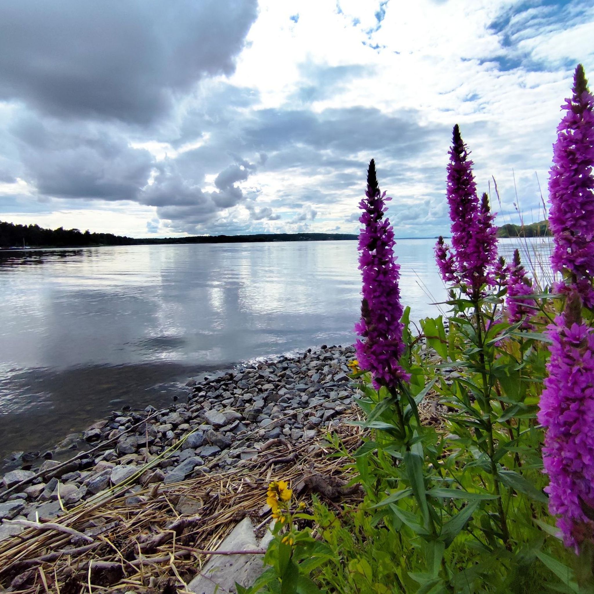
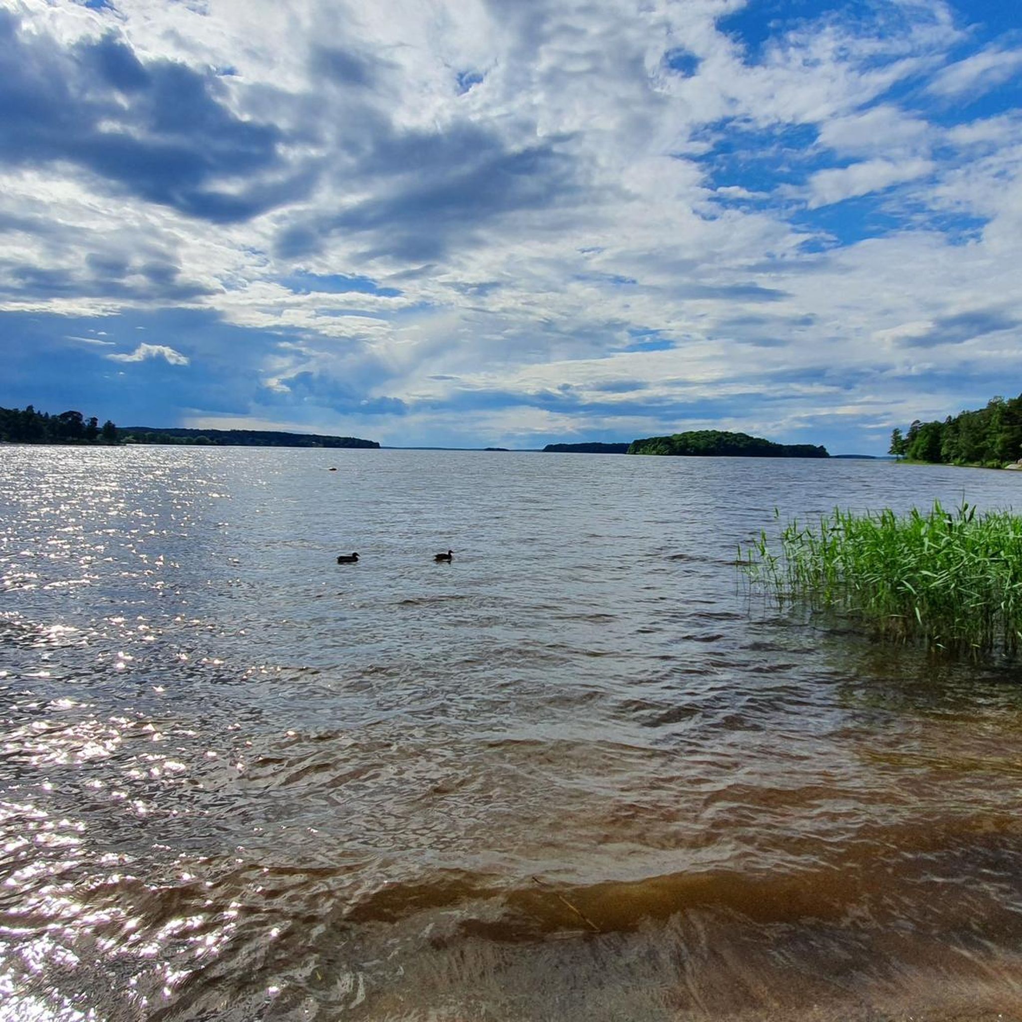
Mountain biking routes around Ridö-Sundbyholmsarkipelagen traverse a diverse landscape characterized by ancient deciduous and coniferous forests, open pastures, and shore meadows surrounding Lake Mälaren. The region, part of a large archipelago, offers varied terrain with gentle elevations and numerous islands. While the archipelago itself is protected, the surrounding areas provide a network of trails suitable for mountain biking, often featuring views of the lake and its many islets.
Best mountain bike trails around Ridö-Sundbyholmsarkipelagen
- The most popular mountain bike trail is Engelska parken loop from Stockholm-Västerås Airport, a 12.1 miles (19.4 km) trail that takes 1 hour 21 minutes to complete, offering an easy ride through parkland.
- Another top favourite among local mountain bikers is Framnäs–Björnön Forest Trail loop from Västerås Central, a moderate 19.6 miles (31.5 km) path. This route winds through forest trails with views of the lake.
- Local mountain bikers also love the Hökåsen Gropen loop from Västerås Central, a 19.8 miles (31.8 km) trail leading through varied forest terrain, often completed in about 2 hours 7 minutes.
- Mountain biking around Ridö-Sundbyholmsarkipelagen is defined by lake views, deciduous forests, and rolling terrain. The network offers options for different ability levels, from easy loops to more challenging moderate trails.
- The guide includes highly-rated routes that showcase the best of the region's landscape. More than 50 mountain bikers have used komoot to explore Ridö-Sundbyholmsarkipelagen's varied terrain.
Last updated: July 9, 2026
7
riders
19.1km
01:15
80m
80m
Easy mountain bike ride. Great for any fitness level. Suitable for all skill levels.
9
riders
32.6km
02:11
150m
150m
Moderate mountain bike ride. Good fitness required. Advanced riding skills necessary.

Sign up for free
10
riders
Easy mountain bike ride. Great for any fitness level. Suitable for all skill levels.
6
riders
28.9km
01:42
140m
140m
Easy mountain bike ride. Great for any fitness level. Suitable for all skill levels.
5
riders
38.7km
02:17
180m
180m
Moderate mountain bike ride. Good fitness required. Advanced riding skills necessary.
Get access to more routes and recommendations from other explorers.
Sign up for free
Already have an account?
Our route recommendations are based on thousands of hikes, rides, and runs completed by other people on komoot.
Start today with a free account
Your next adventure awaits.
Login or Signup
Tips from the Community

Anyone entering the Badelunda nature reserve experiences one of Sweden's most archaeologically dense areas. Burial mounds, stone circles, individual menhirs and Hålvägar (hollow ways), which have been carved into the ridge of Badelundaåsen by millennia of trampling by humans and animals. The Ice Age ridge rises in places 20 meters above the surrounding land. Below the medieval church bubbles the Jungfrukällan, a spring said to have healing powers.
0
0
Anundshög is no ordinary burial mound. With a height of nine meters and a diameter of 60 meters, it is the largest in Sweden. It is surrounded by one of the country's largest Skeppssättningar (stone ships), several stone circles, and individual menhirs from the Viking Age. The entire area is located in the Badelunda nature reserve, which holds over 200 archaeological monuments. The so-called Hålvägar (hollow ways), created by millennia of trampling by humans and animals, are still recognizable today.
0
0

Björnön (just outside town of Västerås) is normally off limits for mountain biking, but a short 3 km track has been approved by the county administrative board and is maintained by a small business nearby specialising in renting out outdoor equipment. Trail is well marked. Both bus stop and car park nearby. In summer time there are a lot of bathing opportunities along the shore of Björnön.
0
0
Fun and technically challenging short trail section between Framnäs and Börjnön. Difficulty level S2. A lot of rocks and roots. Take care if wet as it become slippery. Elbow and knee protection recommended if you are beginner MTB or use click shoes. Offers partial view of lake Mälaren and Björnön. Beware that area is also frequently used by a nearby horse riding club so slow down or stop if you meet riders. Call out to avoid frightening the horses unnecessarily.
1
0
Challenging short trail at S2 difficulty level running along a small wooded area between Framnäs and Björnön.
0
0
Relatively level single track mostly S0-S2 difficulty level.
0
0
Technically more challenging section. S2 level but no severe gradients.
0
0
Frequently Asked Questions
How many mountain bike trails are available in the Ridö-Sundbyholmsarkipelagen area?
There are currently 9 mountain bike trails documented on komoot for the Ridö-Sundbyholmsarkipelagen region. These include a mix of easy and moderate routes, offering diverse experiences around Lake Mälaren.
Are there any easy mountain bike trails suitable for beginners or families?
Yes, the region offers several easy trails. A good option is the Engelska parken loop from Stockholm-Västerås Airport, which is 19.4 km long and provides a gentle ride through parkland. Another easy choice is the Björnön Mountain Bike Trail – Framnäs–Björnön Forest Trail loop from Västerås, covering 13.3 km.
What kind of terrain can I expect on mountain bike trails around Ridö-Sundbyholmsarkipelagen?
The trails traverse a diverse landscape featuring ancient deciduous and coniferous forests, open pastures, and bird-rich shore meadows. You can expect varied terrain with gentle elevations, often providing scenic views of Lake Mälaren and its many islands. While the archipelago itself has specific regulations, the surrounding areas offer a network of trails with natural surfaces.
Are there any mountain bike trails that offer scenic lake views?
Many routes in the area provide beautiful lake views. For example, the moderate Framnäs–Björnön Forest Trail loop from Västerås Central winds through forest trails with picturesque glimpses of Lake Mälaren.
Can I find circular mountain bike routes in the region?
Yes, all the mountain bike routes listed in this guide are circular loops. This allows you to start and finish at the same point, making logistics easier. Examples include the Engelska parken loop from Stockholm-Västerås Airport and the Hökåsen Gropen loop from Västerås Central.
What is the best season for mountain biking in Ridö-Sundbyholmsarkipelagen?
The best season for mountain biking is generally from spring through autumn when the weather is mild and trails are dry. During spring, the deciduous forests are particularly vibrant, and in autumn, the foliage offers stunning colors. Be aware that some bird sanctuaries in the archipelago have restricted access during nesting season (April 1 to July 15), which might affect access to certain areas, though dedicated MTB trails are typically outside these sensitive zones.
Are there any specific regulations for cycling within the Ridö-Sundbyholmsarkipelagen nature reserve?
Within the Ridö-Sundbyholmsarkipelagen nature reserve, cycling is generally permitted on designated roads and paths. However, cycling off these designated routes is typically prohibited to protect the natural environment and wildlife. It's always advisable to stay on marked trails and respect local signage.
What other outdoor activities can be combined with mountain biking in the area?
The region is excellent for combining mountain biking with other outdoor activities. You can explore hiking trails on islands like Ridön and Aggarön, enjoy boating or paddling in Lake Mälaren, or visit historical sites such as ancient crofts and Iron Age graves. Swimming and picnicking spots are also available, particularly on Aggarön.
Are there any places to explore or attractions near the mountain bike trails?
While the mountain bike trails themselves offer natural beauty, the broader Ridö-Sundbyholmsarkipelagen area is rich in attractions. You can explore the islands' unique deciduous forests, home to ancient oak trees and diverse wildlife. Historical remnants like Iron Age traces and old crofts are also present. For more information on the nature reserve, you can visit visiteskilstuna.se.
Are there any longer, more challenging mountain bike routes for experienced riders?
For those seeking a longer, moderate challenge, the Hökåsen Gropen loop from Västerås Central is a good option, covering 38.3 km with varied forest terrain. Another moderate route is the Framnäs–Björnön Forest Trail loop from Västerås Central, which is 31.5 km long.
What do other mountain bikers enjoy most about the trails in this region?
Mountain bikers often praise the diverse landscape, which includes a mix of ancient forests, open pastures, and scenic lake views. The trails offer a good balance of easy and moderate options, making them accessible to various skill levels. The natural setting and the opportunity to explore the unique archipelago environment are frequently highlighted by the komoot community.
Most popular routes around Ridö-Sundbyholmsarkipelagen

Get inspired with the komoot mobile app


Explore more
Browse the best MTB trails in other regions.
