The best road cycling routes around Fernán Caballero
46
riders
8
rides
Road cycling routes around Fernán Caballero are situated in the province of Ciudad Real, Spain, characterized by a generally flat to gently rolling landscape. The region features agricultural plains, interspersed with olive groves and vineyards, offering open views for road cyclists. Notable physical features include the Bullaque River and the Gasset Reservoir, which provide scenic elements along some routes. The elevation gains are typically moderate, with no significant mountain passes, making it suitable for various fitness levels.
Best road cycling…
Last updated: October 24, 2026
9
riders
Moderate road ride. Good fitness required. Mostly well-paved surfaces and easy to ride.
6
riders
Moderate road ride. Good fitness required. Mostly well-paved surfaces and easy to ride.

3
riders
71.6km
02:59
430m
430m
3
riders
Moderate road ride. Good fitness required. Mostly well-paved surfaces and easy to ride.
8
riders
42.0km
01:45
170m
170m
Easy road ride. Mostly well-paved surfaces and easy to ride.
Get access to more routes and recommendations from other explorers.
Already have an account?
Our route recommendations are based on thousands of hikes, rides, and runs completed by other people on komoot.
Start today with a free account
Your next adventure awaits.
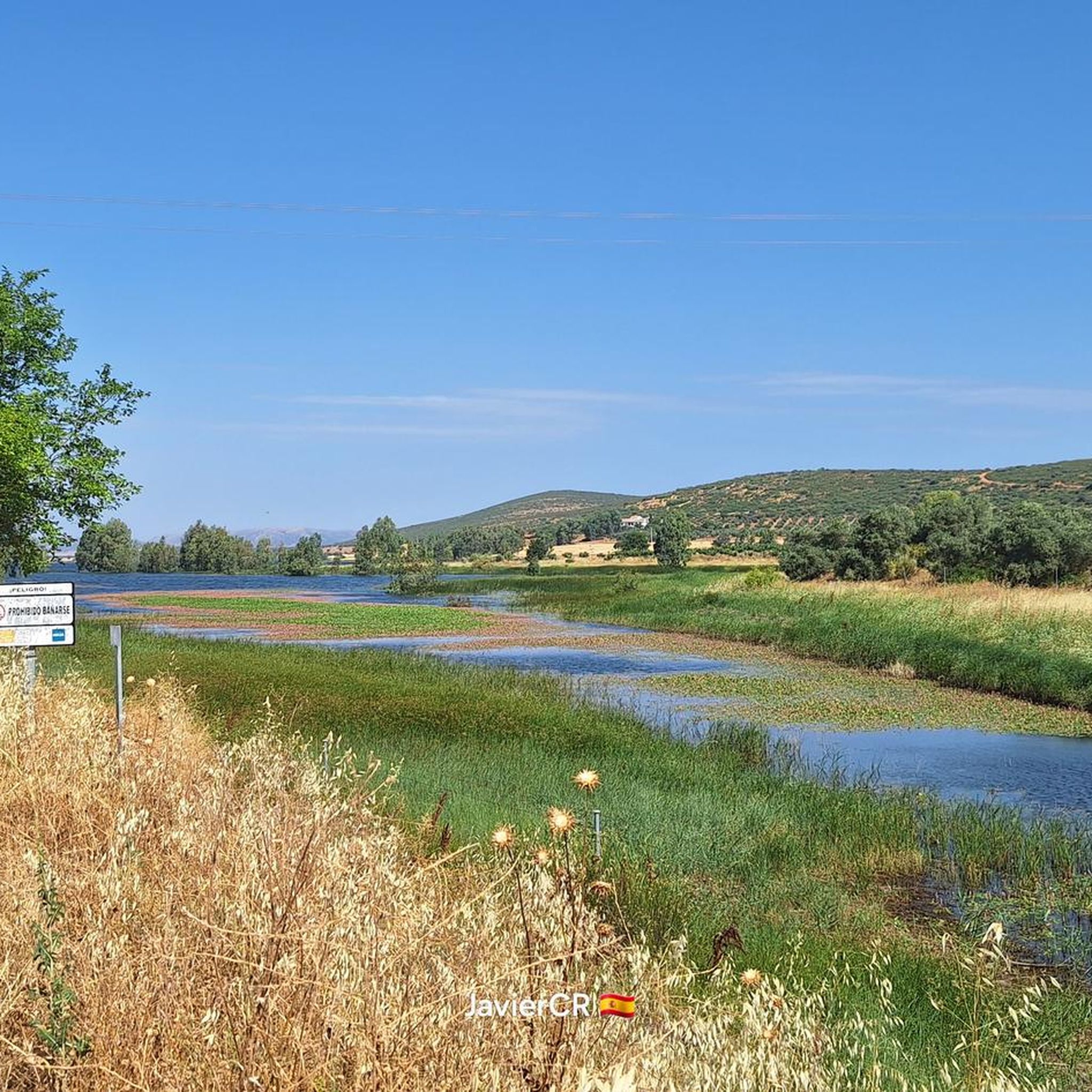
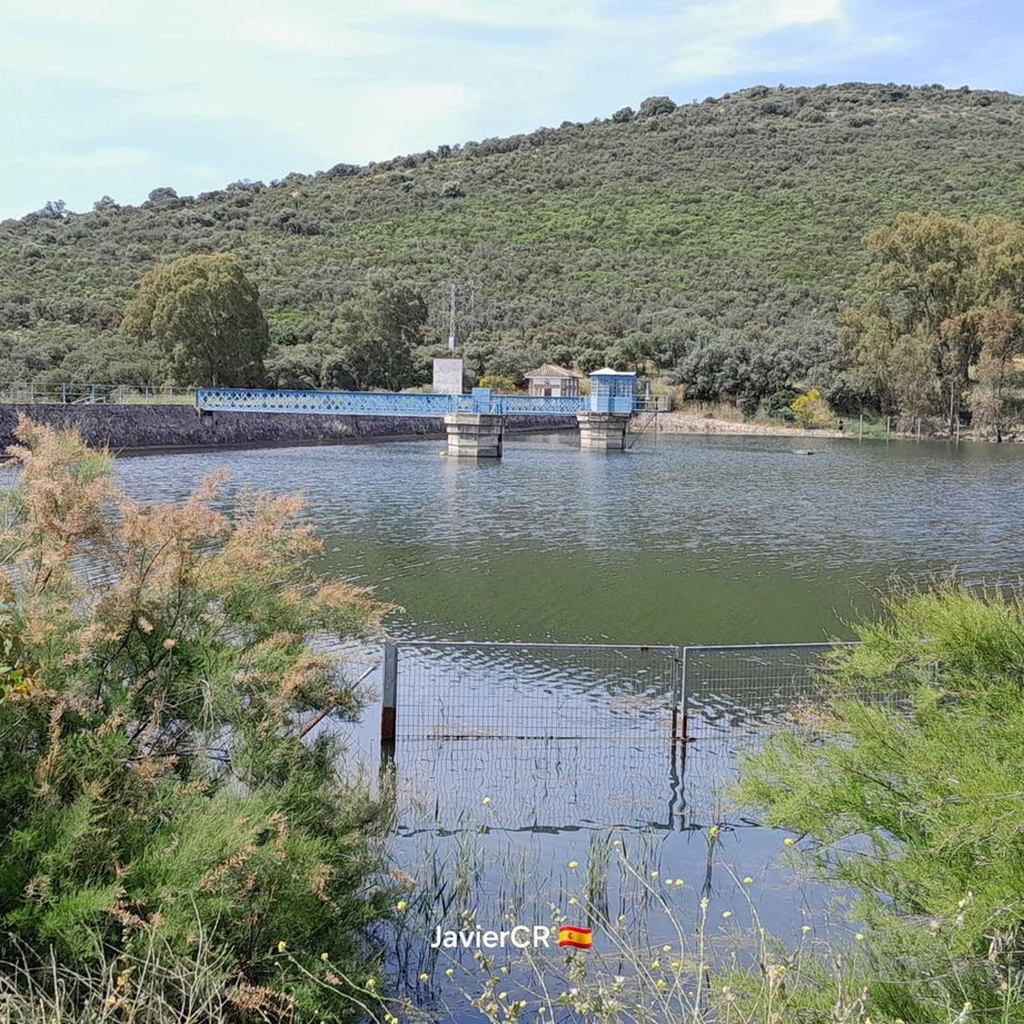
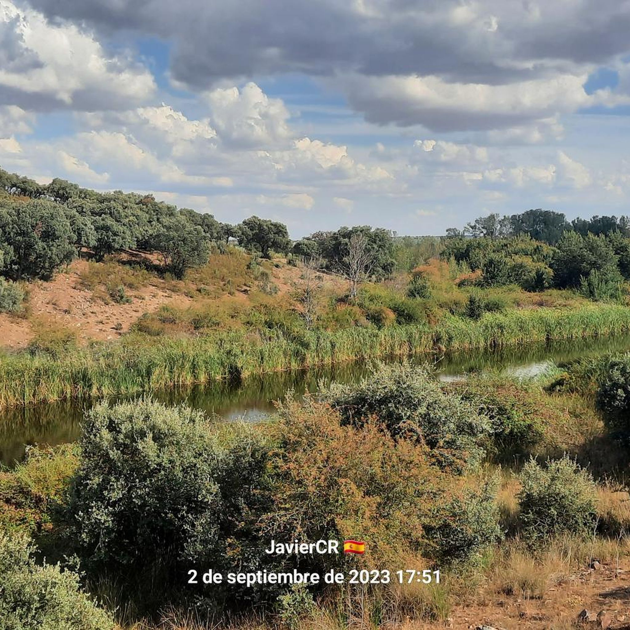
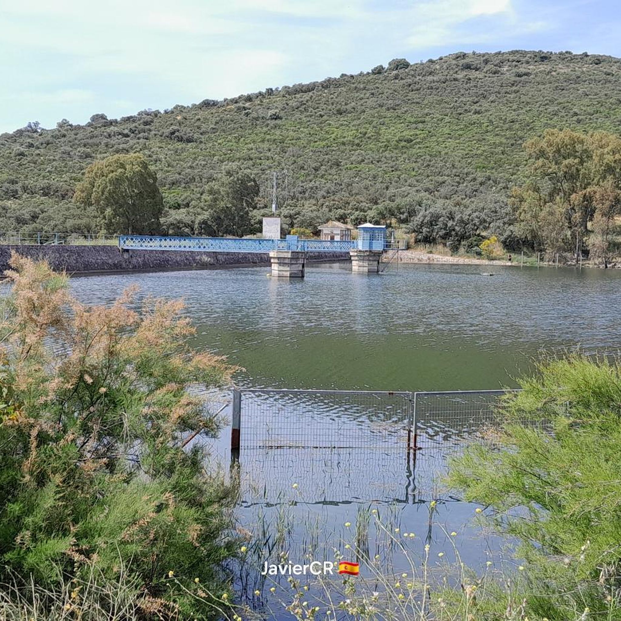
Tips from the Community

The Fernán Caballero Town Hall Square is the administrative and social center of the municipality. The square hosts various cultural and social activities, including festivals and community gatherings. Located in the square is the Parish of Our Lady of Grace, which consists of a single nave and two buttresses, covered with a gabled roof. It features a three-story attached tower, a bell tower, and a modernist clock.
18
0
The name of this town is attributed to the reconquistador and its first lord, whose version was written in the early 14th century as Ferrant Cavallero. The town of Fernán Caballero develops around the triangular Plaza Mayor, where the 16th-century Church of Nuestra Señora de Gracia stands. It has a double-pitched wooden roof, a Classicist portal to the south, and a square tower to the west, topped with a Modernist bell tower and clock.
19
0
The square, formerly known as Plaza de Roque Díaz, has been a focal point since the Reconquista and the era of the Order of Calatrava. In the 16th century, it became the center of important historical events, such as the signing of the Deed of Concord in 1552.
14
0
Malagón's Town Hall Square is a landmark in the municipality. It is located in the center of Malagón and houses the Town Hall building, which features a striking architecture, including a bell tower and a clock.
16
0
The Flor de Rivera Mill is one of the old hydraulic mills located in Daimiel, Ciudad Real, Castilla-La Mancha. This mill, although in ruins, is part of the region's historical heritage and is a point of interest on the hiking and cycling routes that cross the Tablas de Daimiel National Park.
21
0
The Bañuelos River Bridge from Roman times surprises us with its ten eyes, today battered awaiting rehabilitation, formed by brick vault arches, joined with lime and sand mortar. On the right bank of the river next to the bridge is the Carrillo Mill, named after its first owner. It is a construction from 1713, made with masonry walls and thick cylindrical buttresses, covered with wooden trusses and curved tiles that preserve the original machinery.
35
0
The Bañuelos River Bridge from Roman times surprises us with its ten eyes, today battered awaiting rehabilitation, formed by brick vault arches, joined with lime and sand mortar. On the right bank of the river next to the bridge is the Carrillo Mill, named after its first owner. It is a construction from 1713, made with masonry walls and thick cylindrical buttresses, covered with wooden trusses and curved tiles that preserve the original machinery.
17
0
Malagón is located in the northern sector of the province of Ciudad Real. The town of Malagón is surrounded by a large plain that is interrupted to the northwest by the Sierra de Malagón. Its territory is bathed by the Bañuelos and Becea rivers and the Tamujo stream, all of them tributaries of the Guadiana. It is worth mentioning the presence at the foot of the aforementioned mountain range of three lagoons of volcanic origin: the Nava Grande, the Nava de Enmedio and the Nava Pequena or Chica. It is limited to the North by Los Cortijos and Fuente el Fresno, to the East by Daimiel, to the South by Fernan Caballero and Torralba de Calatrava and to the West by Porzuna and Retuerta del Bullaque.
35
0
Frequently Asked Questions
How many road cycling routes are available around Fernán Caballero?
There are 7 road cycling routes detailed in this guide for the Fernán Caballero area. These routes offer a variety of experiences across the region's landscape.
What kind of scenery can I expect on road cycling routes around Fernán Caballero?
Road cycling routes around Fernán Caballero feature generally flat to gently rolling agricultural plains, interspersed with olive groves and vineyards. You'll enjoy open views, and some routes offer scenic elements along the Bullaque River and the Gasset Reservoir. The region is characterized by its rural charm and expansive vistas.
Are there road cycling routes suitable for beginners in Fernán Caballero?
Yes, there are routes suitable for beginners. This guide includes 2 easy road cycling routes, perfect for those new to the sport or looking for a more relaxed ride.
Are there challenging road biking routes with significant climbs near Fernán Caballero?
The region around Fernán Caballero is characterized by moderate elevation gains, with no significant mountain passes. While there are no routes classified as 'difficult' in this guide, some moderate routes like the Gasset Reservoir Loop include climbs of around 429 meters, offering a good workout for experienced cyclists.
Are there any circular road bike trails in Fernán Caballero?
Yes, many routes in the area are circular. For example, the Circular by Piedrabuena and the Tabla de la Yedra (Río Bullaque) — from Porzuna and the Castillo de Calatrava La Vieja y Embalse de Gasset — circular desde Carrión de Calatrava are popular loop options.
What interesting landmarks or natural features can I explore along the road cycling routes?
Along the routes, you can encounter several points of interest. The Castillo de Calatrava La Vieja y Embalse de Gasset — circular desde Carrión de Calatrava route passes by historical sites. You might also spot natural features like the Gasset Reservoir Dam or the El Vicario Reservoir, which are prominent features in the landscape.
Are there any scenic viewpoints along the road cycling routes?
While the region offers open views across its plains, specific designated viewpoints include the Isla Viewpoint near the El Vicario Reservoir. Many routes also offer panoramic vistas of the agricultural landscapes and reservoirs.
What do other road cyclists appreciate about the routes in Fernán Caballero?
Over 50 road cyclists have explored the routes around Fernán Caballero using komoot. They often appreciate the open plains, agricultural fields, and reservoir views, highlighting the region's suitability for various ability levels, from easy rides to more challenging routes.
What is the best time of year for road cycling in Fernán Caballero?
The best time for road cycling in Fernán Caballero is typically during spring (April-May) and autumn (September-October) when temperatures are milder and the landscape is vibrant. Summers can be very hot, and winters, while generally mild, might bring cooler temperatures.
Are there family-friendly road bike routes in Fernán Caballero?
Yes, with 2 easy routes available, Fernán Caballero offers options that can be suitable for families. These routes typically feature gentler terrain and less traffic, making them a good choice for a family outing.
Where can I find parking for road bike trails in Fernán Caballero?
While specific parking locations are not detailed for each route, towns and villages like Fernán Caballero, Porzuna, and Carrión de Calatrava, which serve as starting points for many routes, generally offer public parking facilities. It's advisable to check local parking options upon arrival.
Is public transport accessible for reaching road cycling routes in Fernán Caballero?
Information on specific public transport links directly to trailheads is not provided. However, Fernán Caballero and surrounding towns are typically connected by regional bus services. For detailed schedules and routes, it's best to consult local transport authorities.
Most popular attractions around Fernán Caballero

Get inspired with the komoot mobile app


Explore more
Browse the best Road cycling routes in other regions.
