The best running trails around Solana De Ávila
423
runners
66
runs
Jogging routes around Solana De Ávila traverse a landscape characterized by mountainous terrain, natural spaces, and varied elevations. The region offers a mix of challenging trails and paths through natural parks. Runners can expect to encounter features such as high peaks, mountain passes, and natural trails.
Best jogging routes around Solana De Ávila
- The most popular jogging route is Hoya Moros and El Torreón Loop, a 8.7 miles (13.9 km) trail that takes 2 hours 38 minutes to complete.…
Last updated: July 2, 2026
11
runners
13.9km
02:38
790m
780m
This difficult 8.7-mile trail run in Sierra de Candelario climbs 2585 feet to Canchal de la Ceja and El Torreón, offering alpine views.
3
runners
14.4km
02:45
890m
880m
This difficult 8.9-mile jogging route in Sierra de Gredos offers stunning glacial lakes and panoramic views from Canchal de la Ceja.

Sign up for free
23.9km
04:30
1,390m
1,390m
A difficult 14.8-mile jogging route to Calvitero and Canchal Negro summits, offering panoramic views in Sierra de Gredos.
1
runners
Hard run. Very good fitness required. Sure-footedness, sturdy shoes and alpine experience required.
8.46km
01:14
400m
400m
Hard run. Very good fitness required. Sure-footedness, sturdy shoes and alpine experience required.
Get access to more routes and recommendations from other explorers.
Sign up for free
Already have an account?
Our route recommendations are based on thousands of hikes, rides, and runs completed by other people on komoot.
Start today with a free account
Your next adventure awaits.
Login or Signup

Tips from the Community

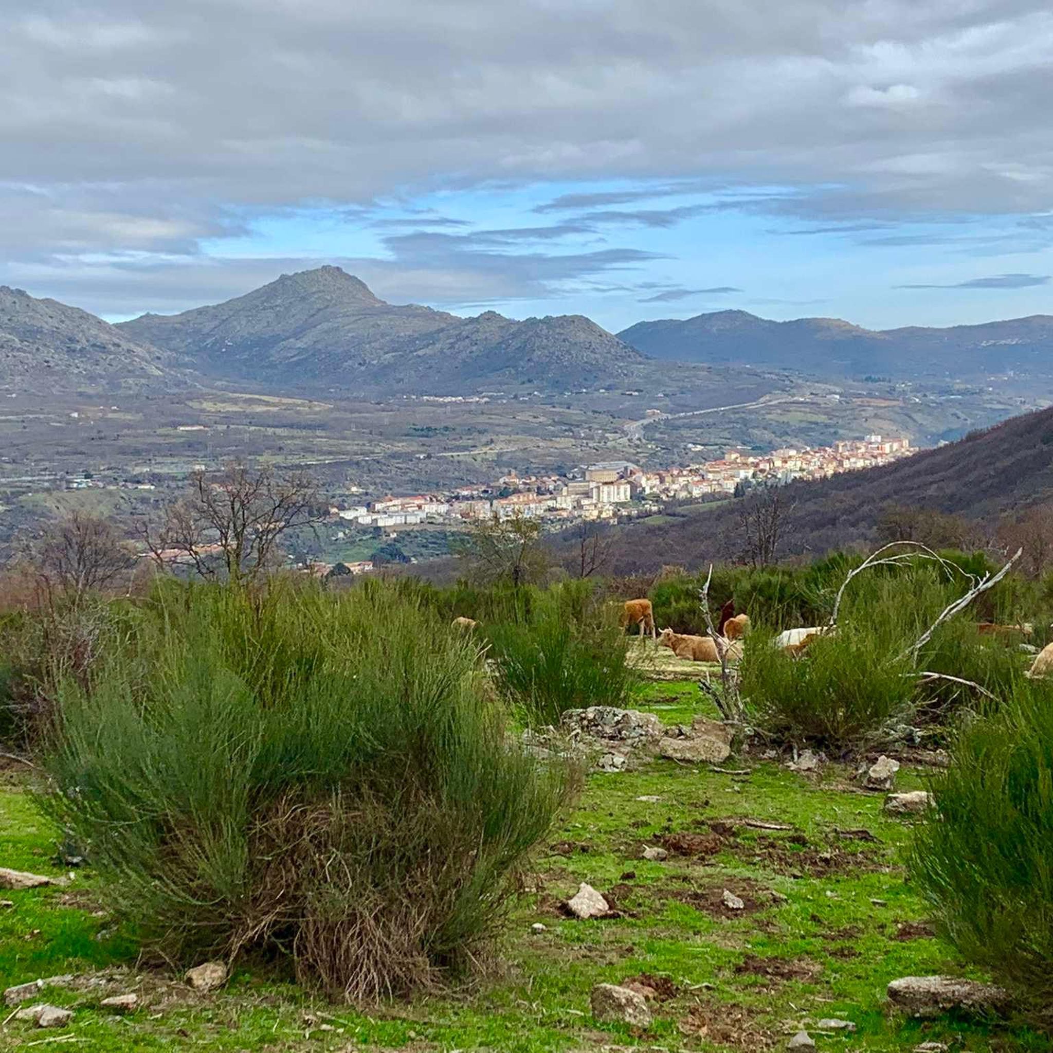
This is one of the best-known mountain passes in the Sierra de Gredos area and is also important as it separates the two most important basins in the Iberian Peninsula, the Duero and the Tagus.
0
0

At a distance of just 2 km from the Collado de Los Buitres mountain pass, a good area to enjoy nature and breathe fresh air.
7
0

The top of Canchal Negro is located at 2,364 meters above sea level within the Sierra de Candelario Natural Area, a wonderful place worth visiting. Getting here has its price, the road can be demanding and technical in some sections, but the views are very comforting.
1
0
Another of the most important peaks of the Sierra de Candelario Park, the Calvitero rises above 2400 meters above sea level, offering wonderful panoramic views worthy of a postcard.
2
0
Beautiful place! The. Lagunas del Trampal are 3 lakes of glacial origin within the Sierra de Gredos Park and worth visiting, the landscape is wonderful at any time of the year.
1
1
It is the highest peak in the province of Salamanca at 2,427 meters above sea level. The views are amazing but to get here you will have to make a significant physical effort since the journey is very demanding. Remember that the important thing is to enjoy the road and this beautiful landscape.
2
0
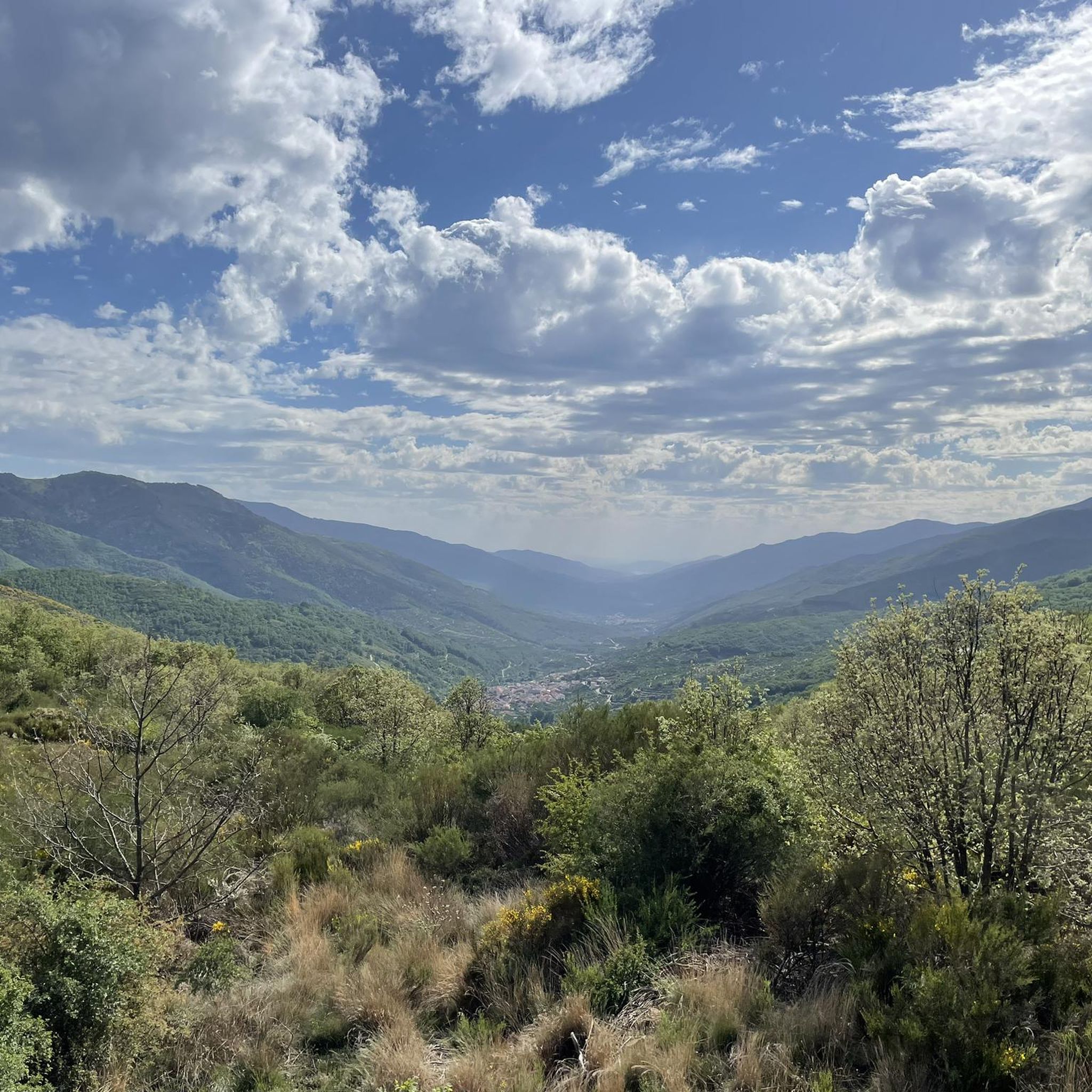
Nice valley in the heart of the Sierra de Candelario with beautiful views. If you are on your way to the top of Torreón from here the journey becomes quite demanding and through technical sectors, go carefully and firmly to enjoy this beautiful place!
2
0
Located at 1,275 meters above sea level, it is recognized as a historic mountain pass in the Sierra de Gredos and represents the physical division point of the Duero and Tagus basins. This site has been the passage of several civilizations. over the centuries and represents a site of great historical importance for the area.
1
1
Frequently Asked Questions
How many running routes are available around Solana De Ávila?
There are over 70 dedicated running routes around Solana De Ávila, offering a wide range of options for different skill levels and preferences.
Are there any easy jogging routes for beginners in Solana De Ávila?
Yes, Solana De Ávila offers a few easier jogging routes. While many trails are challenging, you can find 3 routes specifically rated as easy, perfect for those new to trail running or looking for a more relaxed pace.
Can I find circular running trails in the Solana De Ávila area?
Absolutely. Many of the running routes in Solana De Ávila are circular, allowing you to start and finish at the same point. For example, the Black Canchal via Las Cobatillas – circular running in the Sierra de Candelario Natural Space is a great option.
What kind of views or natural landmarks can I expect along the jogging routes?
The routes around Solana De Ávila offer stunning mountain views and natural landmarks. You might encounter high peaks like Torreón (Calvitero Summit) and Canchal de la Ceja, or explore natural gorges such as Garganta de la Nava. Many trails also pass through scenic mountain passes like Hell's Pass.
Are there any running trails suitable for families with children?
While many routes in Solana De Ávila are rated as difficult due to the mountainous terrain, there are a few easier options that might be more suitable for families. It's best to check the difficulty and distance of individual routes to ensure they align with your family's capabilities.
Are dogs allowed on the running trails in Solana De Ávila?
Generally, dogs are welcome on many trails in natural areas around Solana De Ávila, especially if kept on a leash. However, specific regulations can vary within natural parks or protected areas. Always check local signage or park rules for the most current information before heading out with your dog.
What is the typical distance of running trails in this region?
The running trails around Solana De Ávila vary significantly in distance. You'll find routes ranging from shorter runs, like the 8.7-mile (13.9 km) Hoya Moros and El Torreón Loop, to much longer and more challenging paths, such as the 14.8-mile (23.9 km) Calvitero and Canchal de la Ceja Loop Trail.
Are there any advanced running trails for experienced runners?
Yes, Solana De Ávila is particularly well-suited for experienced runners, with 46 routes rated as difficult. These trails often feature significant elevation gains and technical terrain, such as the Calvitero and Lagunas del Trampal Circular Trail, which offers challenging ascents and stunning high-peak views.
What is the best time of year to go running in Solana De Ávila?
The best time for running in Solana De Ávila is typically during spring and autumn when temperatures are milder and the natural scenery is vibrant. Summer can be very hot, especially at lower elevations, while winter may bring snow and ice to higher mountain trails, requiring appropriate gear and caution.
Are there any running routes that follow long-distance paths like the Camino Natural del Tajo?
Yes, some running routes in the area incorporate sections of established long-distance paths. For instance, the Puerto de Tornavacas – running on the Camino Natural del Tajo (GR 10) offers a chance to experience a segment of this historic trail.
What do other runners say about the trails in Solana De Ávila?
The running trails in Solana De Ávila are highly regarded by the komoot community. Runners frequently praise the challenging mountainous terrain, the stunning natural beauty, and the variety of routes that cater to different fitness levels, from moderate to very difficult.
Most popular routes around Solana De Ávila
Most popular attractions around Solana De Ávila

Get inspired with the komoot mobile app


Explore more
Browse the best Running Trails & Routes in other regions.
